Louisiana Web Mapping Applications and Tools
- All
- New Orleans
- Baton Rouge
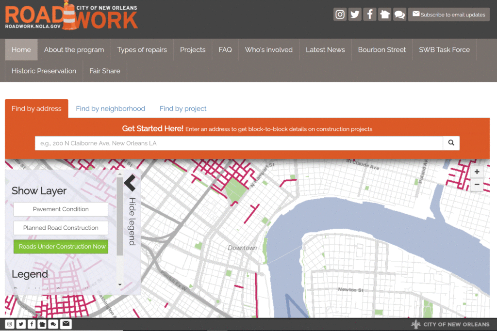
Roadwork NOLA
See pavement conditions, planned road construction, and current roads under construction in New Orleans. Tool by the City of New Orleans.
Use Tools New Orleans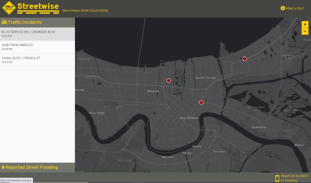
Sreetwise
See live traffic and accidents in New Orleans. Tool by the City of New Orleans.
Use Tools New Orleans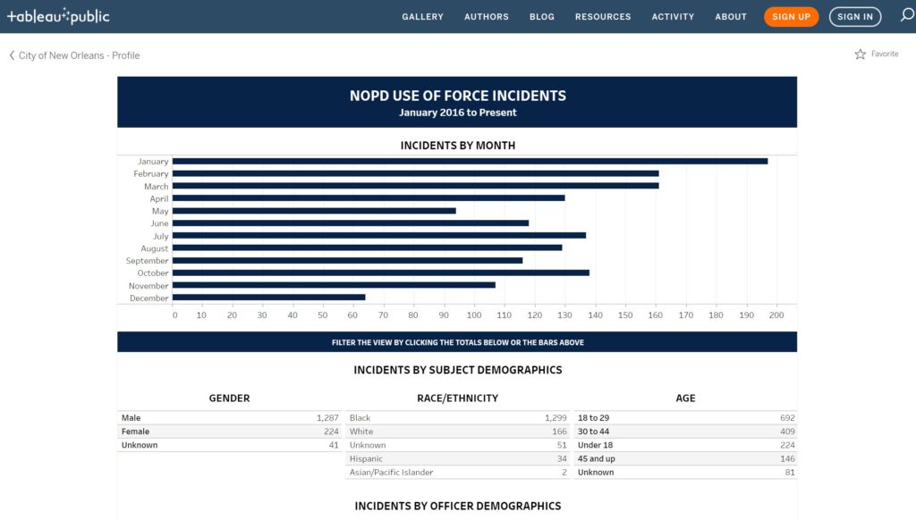
NOPD Use of Force Incidents
See use of force incidents in New Orleans from 2016 to present. Tool by the City of New Orleans.
Use Tools New Orleans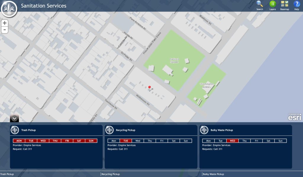
Trash Collection Map
Trash, bulky waste, and recycling pickup schedules in New Orleans. Tool by City of New Orleans.
Use Tools New Orleans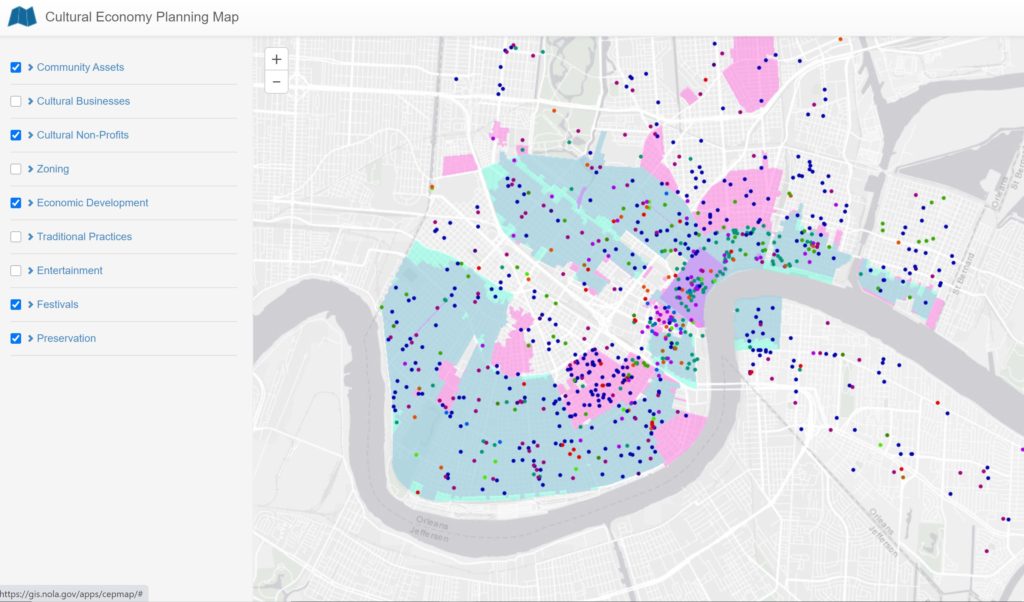
Cultural Economy Map
View what assets support the New Orleans local economy. Tool by City of New Orleans.
Use Tools New Orleans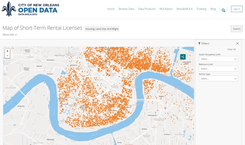
Short-Term Rentals
View and find short-term rentals in New Orleans. Tool by City of New Orleans.
Use Tools New Orleans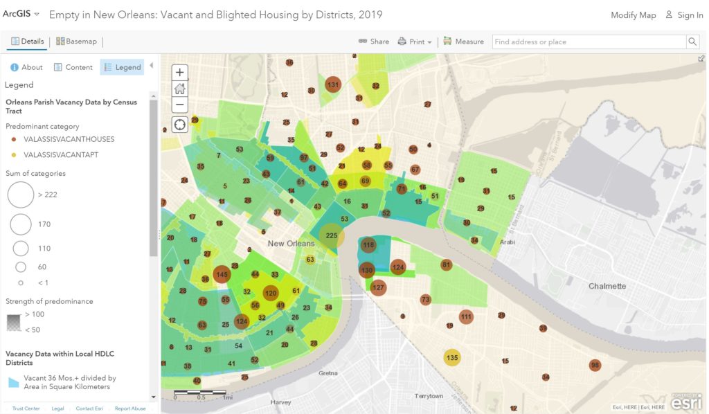
Empty in New Orleans
Explore vacant and blighted properties in New Orleans. Tool by Preservation Resource Center of New Orleans.
Use Tools New Orleans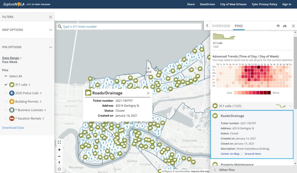
Explore NOLA
See individual 311 calls and filter by neighborhoods and call types. Tool by City of New Orleans.
Use Tools New Orleans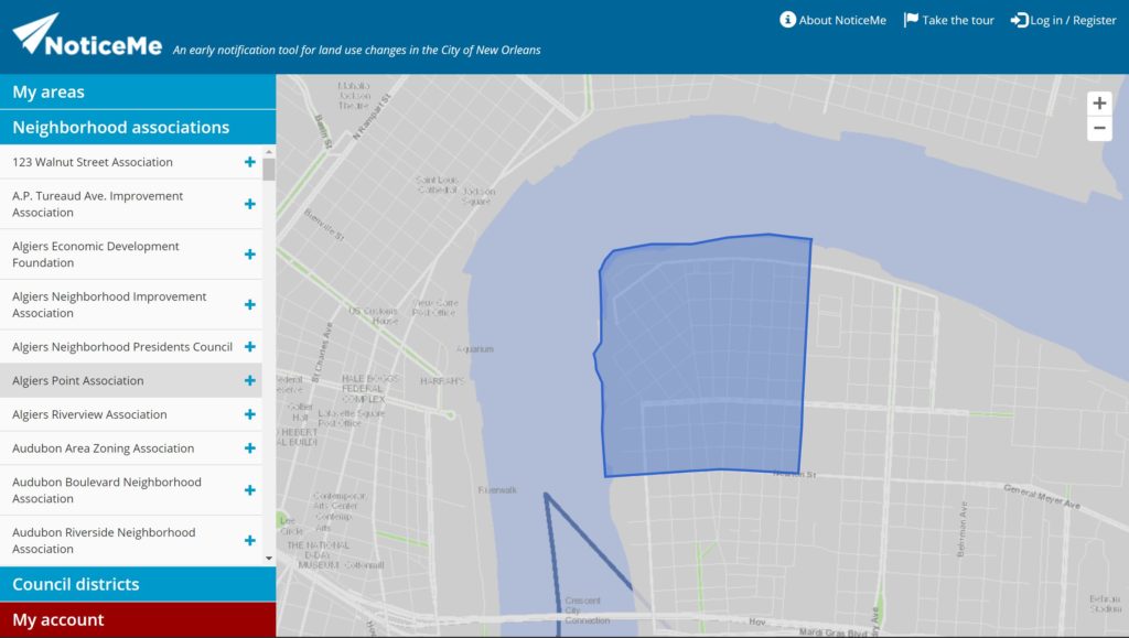
NoticeMe
Sign up to receive land use changes directly. Also see neighborhood boundaries. Tool by City of New Orleans.
Use Tools New Orleans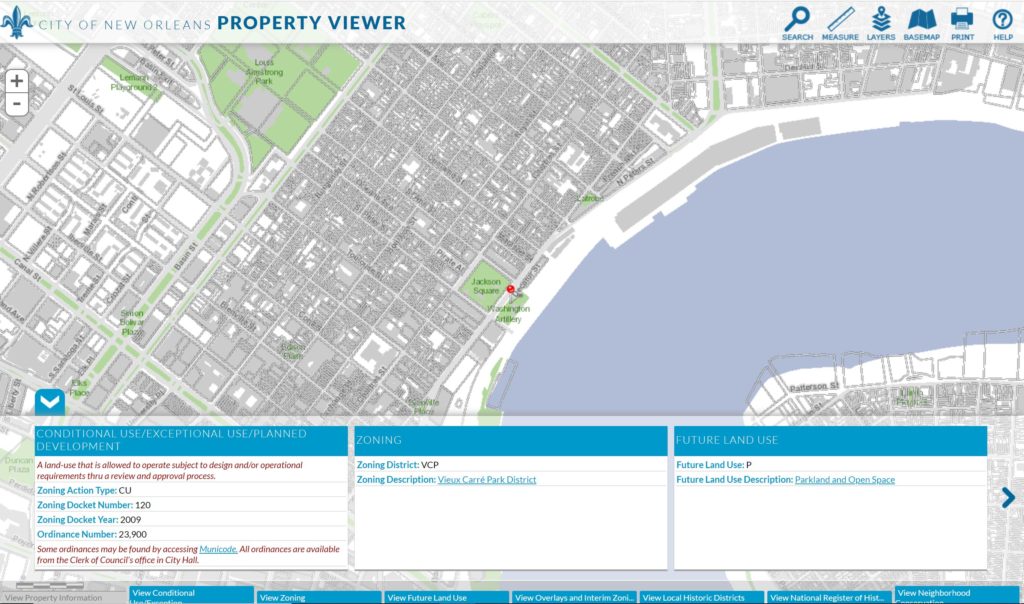
Property Viewer
Find individual property information for New Orleans. Tool by City of New Orleans.
Use Tools New Orleans
Where Y’at
Type in your address to find property information. Tool by City of New Orleans.
Use Tools New Orleans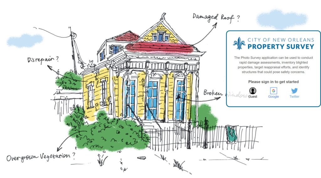
Property Survey
Go from picture to picture and answer a few survey questions about each house. Tool by City of New Orleans.
Use Tools New Orleans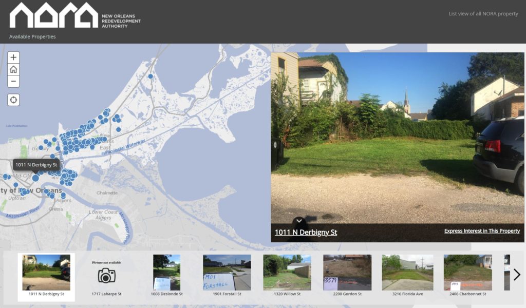
NORA Available Properties
Browse NORA-owned properties and express interest. Tool by City of New Orleans.
Use Tools New Orleans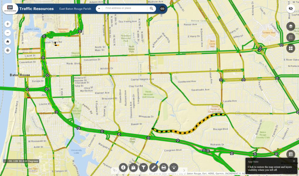
Traffic Resources
Displays real-time traffic, traffic incidents, traffic cameras, and road closures in East Baton Rouge. Tool by City of Baton Rouge and Parish of East Baton Rouge.
Use Tools Baton Rouge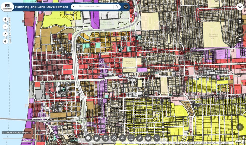
Planning and Land Development
Land use data for East Baton Rouge. Tool by City of Baton Rouge and Parish of East Baton Rouge.
Use Tools Baton Rouge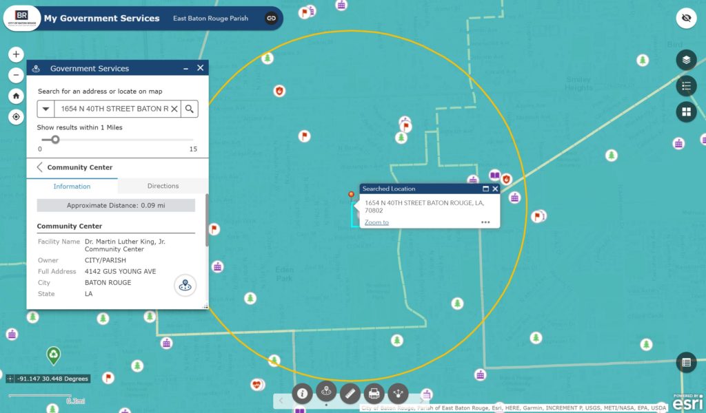
My Government Services
Find and locate local government information and services. Tool by City of Baton Rouge and Parish of East Baton Rouge.
Use Tools Baton Rouge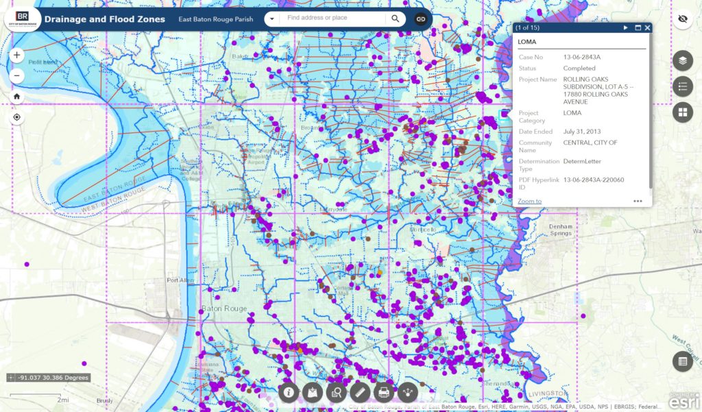
Drainage and Flood Zones
Explore Drainage and Flood Zones in Baton Rouge. Tool by City of Baton Rouge and Parish of East Baton Rouge.
Use Tools Baton Rouge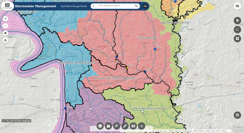
Stormwater Mangement
Stormwater and watershed information for Baton Rouge. Tool by City of Baton Rouge and Parish of East Baton Rouge.
Use Tools Baton Rouge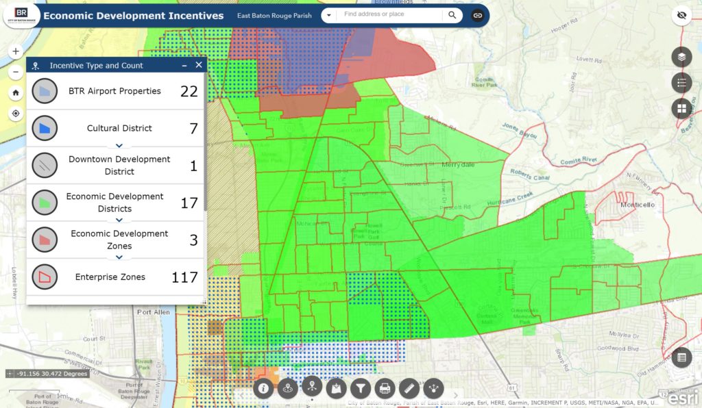
Economic Development Incentives
See economic development incentives for East Baton Rouge Parish. Tool by City of Baton Rouge and Parish of East Baton Rouge.
Use Tools Baton Rouge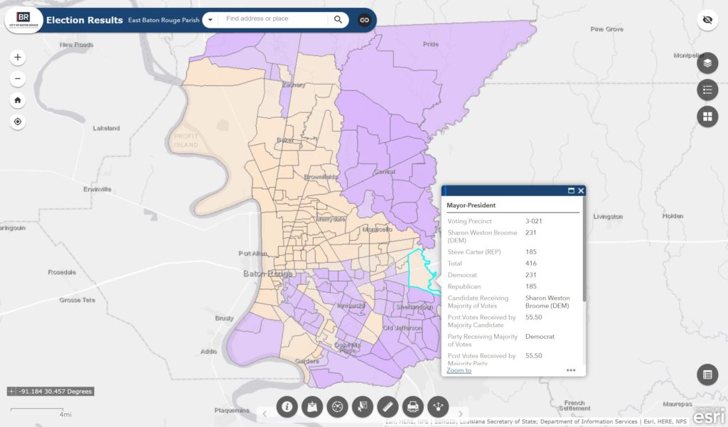
Election Results
See election results by voting precinct. Tool by City of Baton Rouge and Parish of East Baton Rouge.
Use Tools Baton Rouge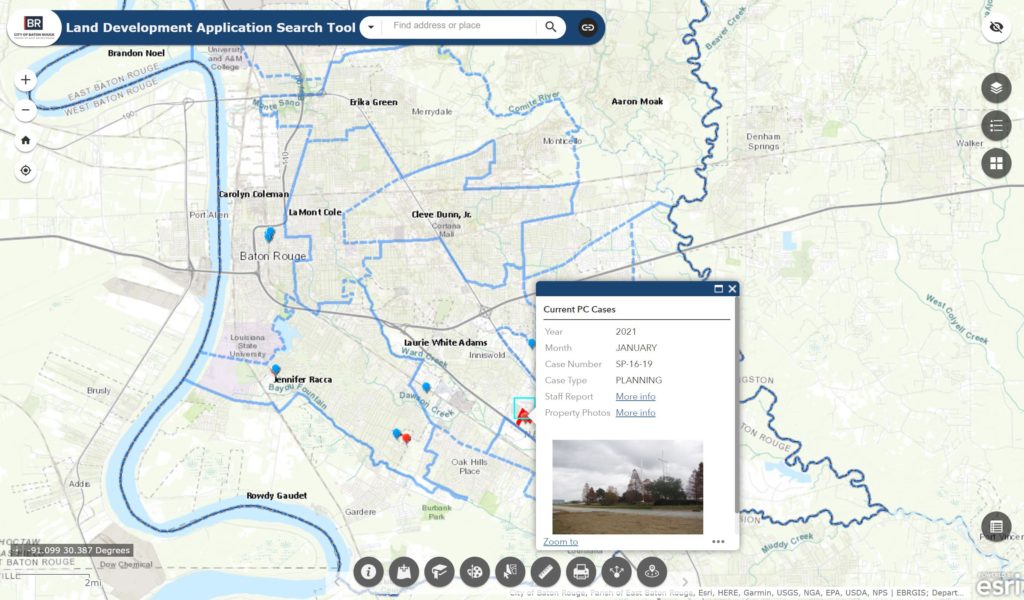
Land Development Application Search Tool
Search for city and parish planning commission cases. Tool by City of Baton Rouge and Parish of East Baton Rouge.
Use Tools Baton Rouge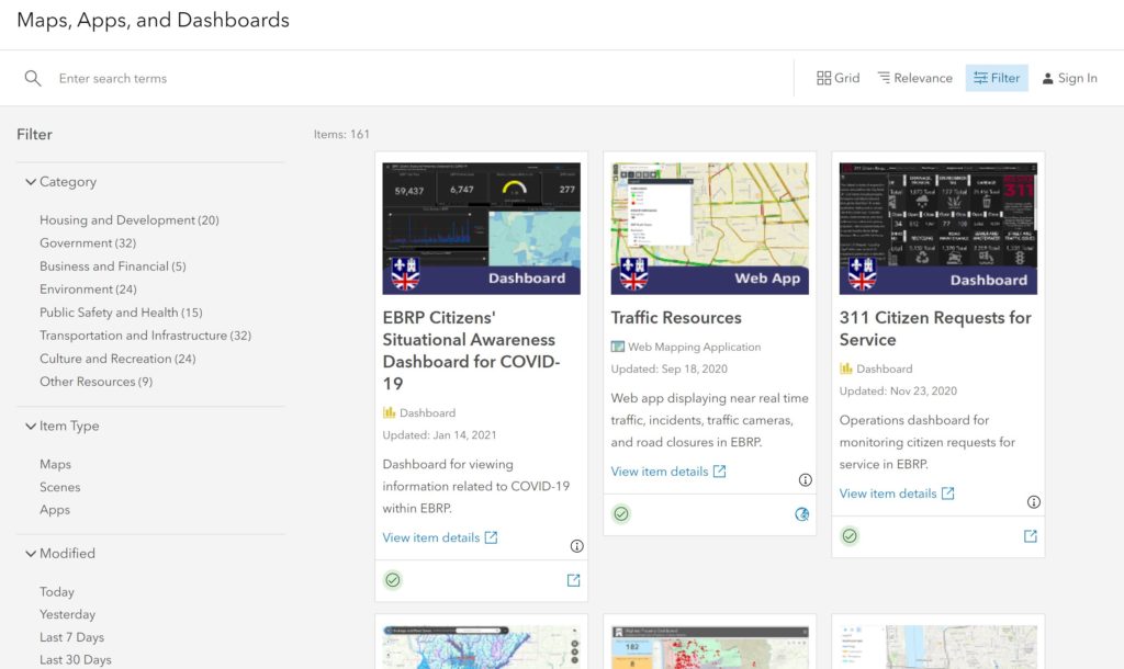
Maps and Apps Gallery
Over 150 maps, apps, and tools on the EBRGIS Portal. Tool by City of Baton Rouge and Parish of East Baton Rouge.
Use Tools Baton Rouge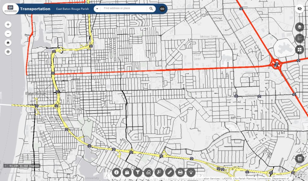
Transportation
Explore transportation data for East Baton Rouge Parish. Tool by City of Baton Rouge and Parish of East Baton Rouge.
Use Tools Baton Rouge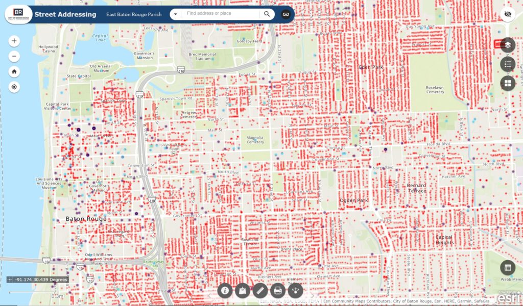
Street Addressing
Explore street address data for Baton Rouge. Tool by City of Baton Rouge and Parish of East Baton Rouge.
Use Tools Baton RougeMillennial Cities has collected hundreds of interactive, data-driven visualization tools and web mapping applications to provide users with authoritative information needed for planning, analysis, awareness, and citizen engagement. Explore our free portal to discover and make use of publicly available geospatial data and mapping applications. Find a collection of story maps, web maps, web applications, and dashboards that address stormwater management, short-term rentals, demographics, traffic resources and more.
The mapping applications above are intended to make living in Louisiana easier and to provide users with ways to live an engaged and informed civic life. From New Orleans short-term rental maps to trash collection and public services, use these resources for staying geographically connected to Louisiana. Remember to check back in periodically as new Louisiana maps and web mapping applications will continue to be added.
Currently, Louisiana web mapping applications include New Orleans GIS tools and Baton Rouge GIS tools.

What is Millennial Cities?
Millennial Cities is an interactive web mapping site that provides access to important maps, data, and map applications. The purpose of including these free interactive tools on the website is to provide access to and promote the use of urban planning geospatial resources. These resources are intended to help citizens better understand their surroundings and make more informed decisions.
The evolution of web mapping applications and geographic information system (GIS) technology has presented a great opportunity for the planning community to foster spatial thinking among friends and coworkers. The use of analysis tools, spatial data, and web maps to examine and highlight issues has never been so easy and readily available. It also provides local governments with a means to promote critical information to the general public.