Washington
- All
- Statewide
- Seattle
- Tacoma
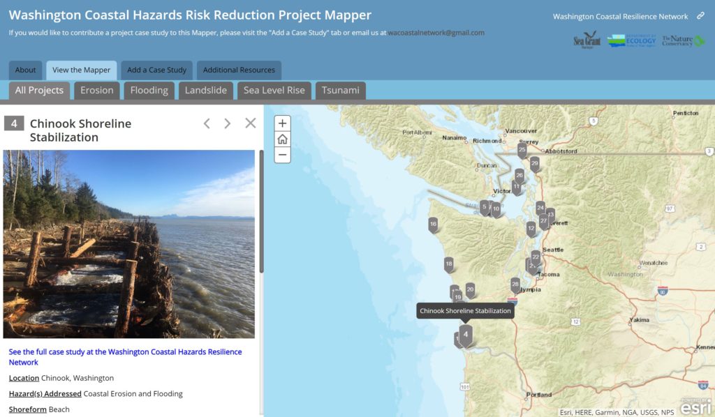
Washington Coastal Hazards Risk Reduction Project Mapper
See a collection of coastal hazard resilience project case studies. Map by Washington Coastal Resilience Network.
Use Tool Statewide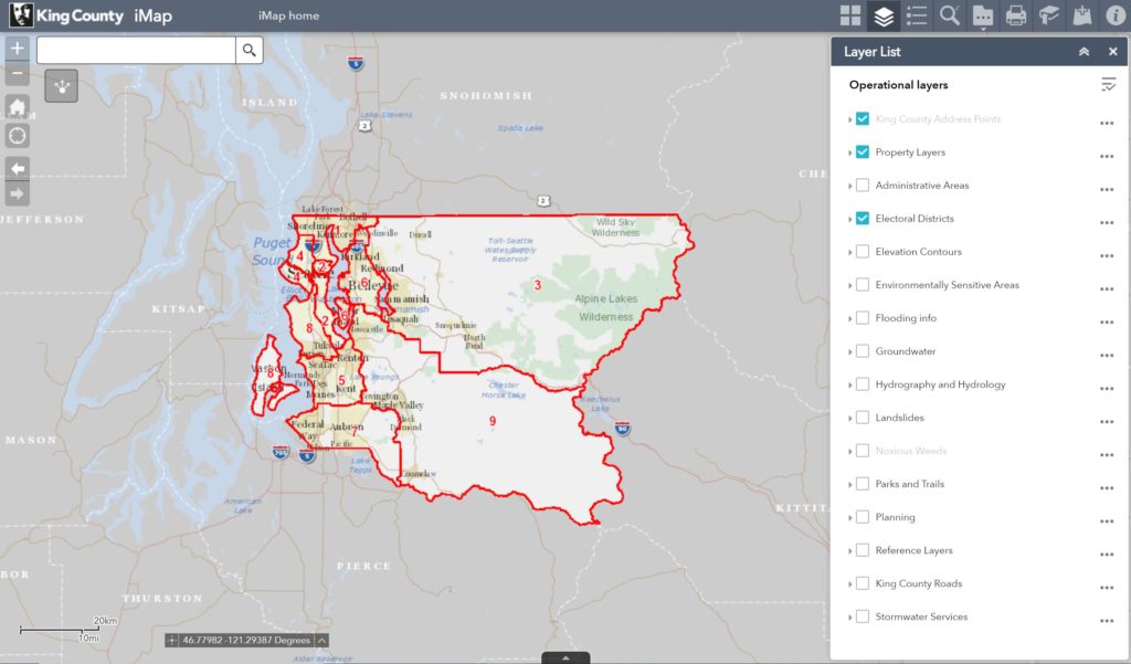
King County iMap
Displays a wealth of information relating to topics such as political boundaries, parks and trails, and stormwater. Tool by King County.
Use Tool Seattle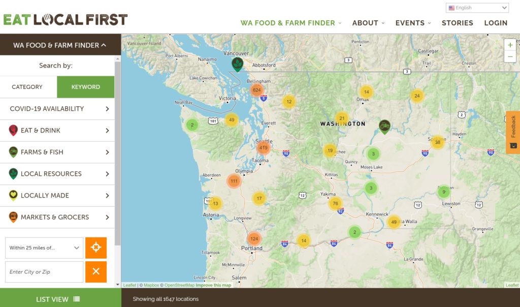
WA Food & Farm Finder
Multiple State partners have merged their online tools into one, comprehensive food and farm tool. Tool by Eat Local First.
Use Tool Statewide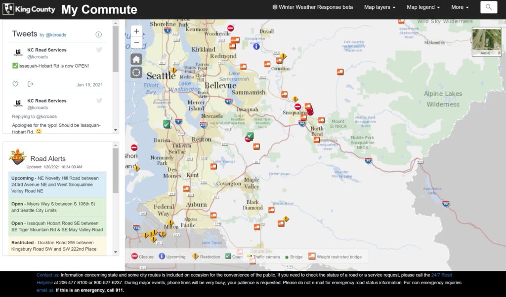
My Commute
Find your commute in King County and view road closures, restrictions, traffic cameras, etc. Tool by King County.
Use Tool Seattle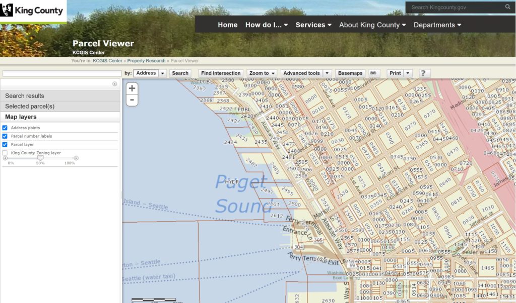
King County Parcel Viewer
View parcel related information for King County. Tool by King County.
Use Tool Seattle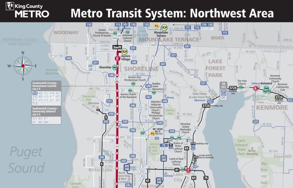
Metro Transit System
Use the map viewer to find transit information. Tool by King County.
Use Tool Seattle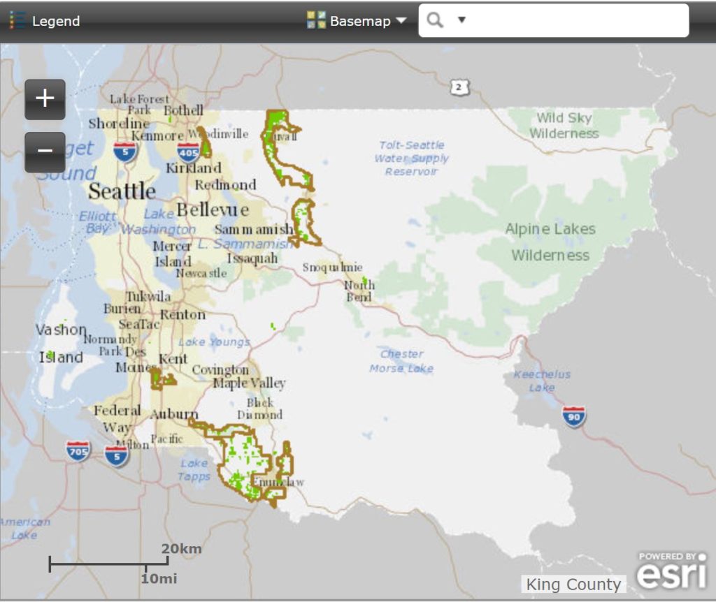
Farmland Preservation Program
View the voluntary Farmland Preservation Program in King County. Tool by King County.
Use Tool Seattle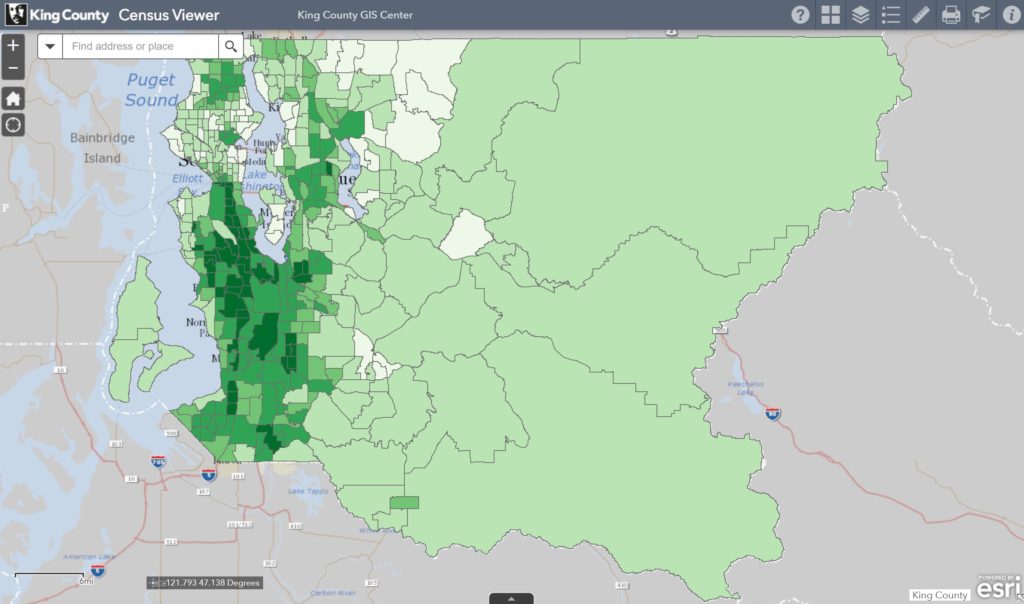
King County Census Viewer
See Census information for King County. Tool by King County.
Use Tool Seattle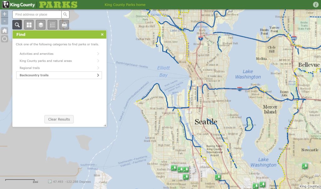
King County Park Finder
Find parks and trails in Seattle and King County. Tool by King County.
Use Tool Seattle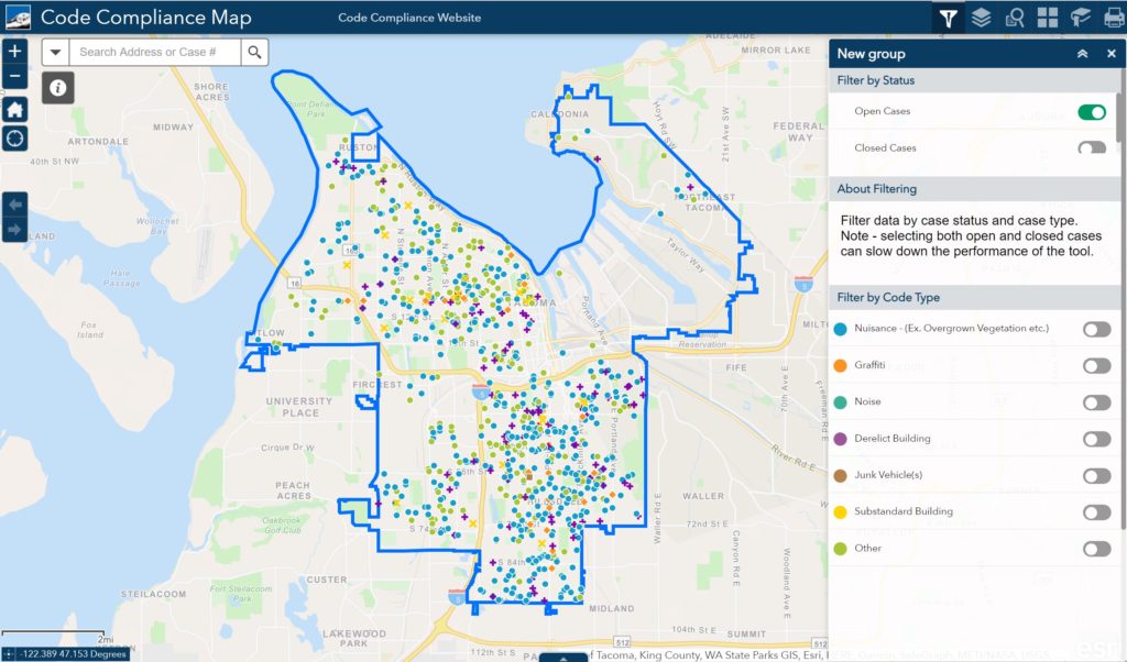
Code Compliance Map
Code compliance in Tacoma. Sort by graffiti, noise, junk vehicles, and more. Tool by City of Tacoma.
Use Tool Tacoma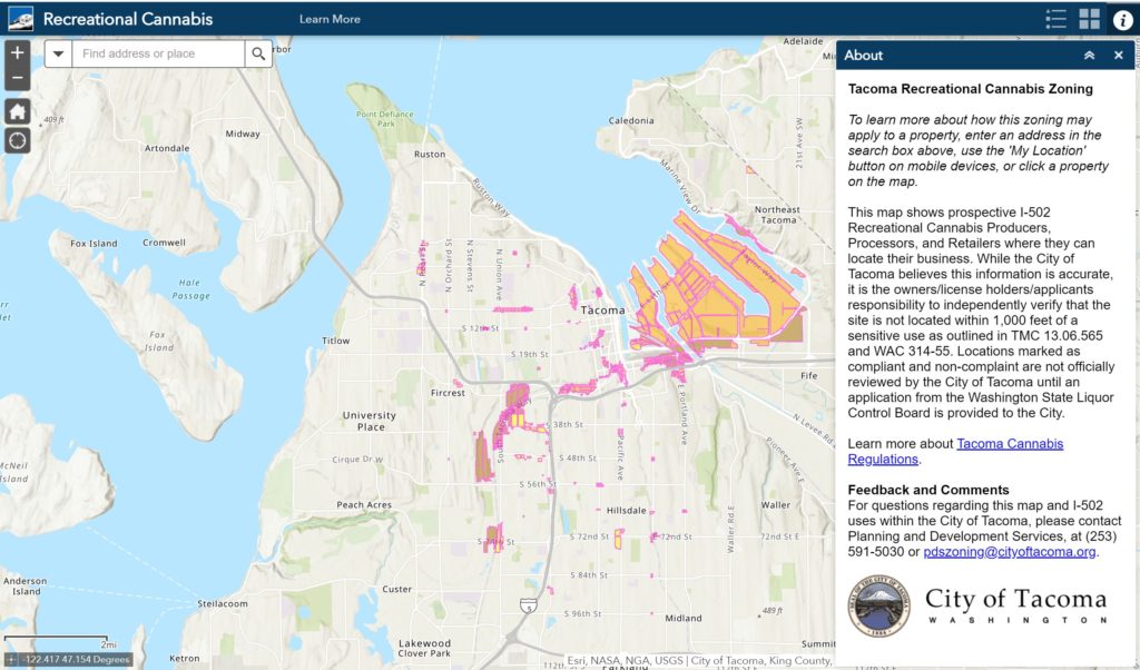
Recreational Cannabis
See recreational marijuana production, retail sale, and processing in Tacoma. Tool by City of Tacoma.
Use Tool Tacoma