Texas Web Mapping Applications and Tools
- All
- Austin
Urban Displacement
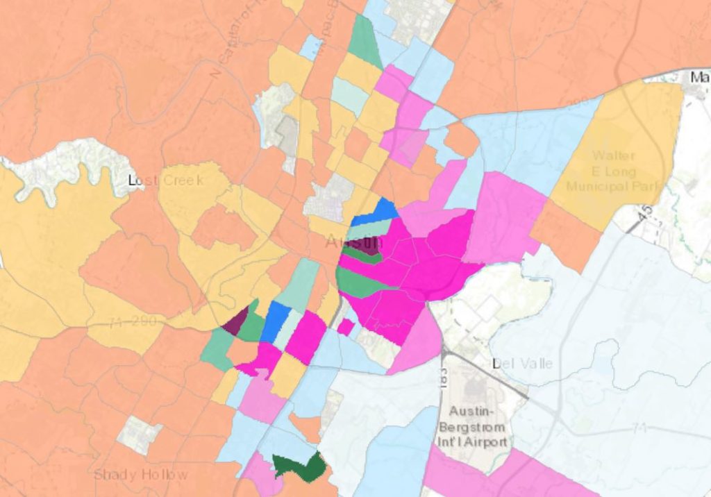
Visualize gentrification in Austin, Texas using the urban displacement map. Map by Urban Displacement Project.
Read More Austin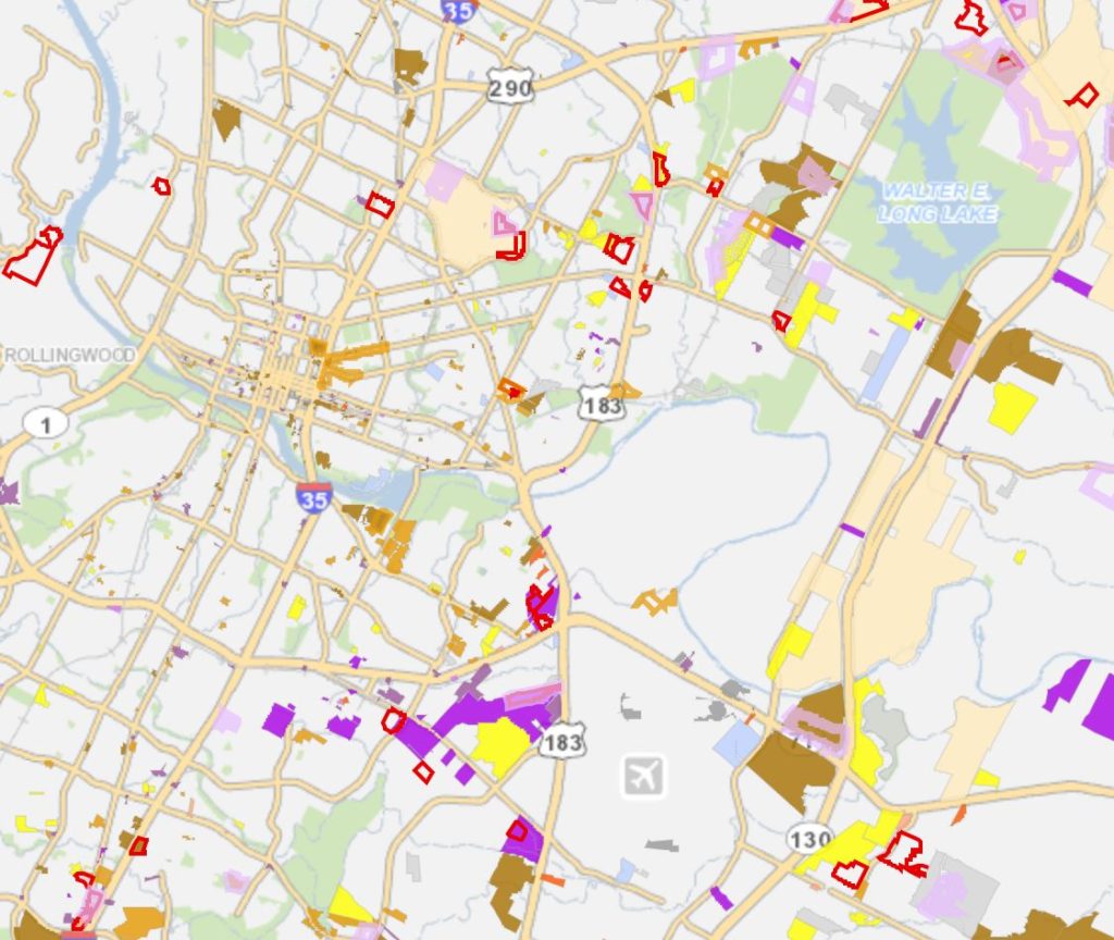
Emerging Projects
View projects that are being planned or ongoing. Tool by City of Austin.
Read More Austin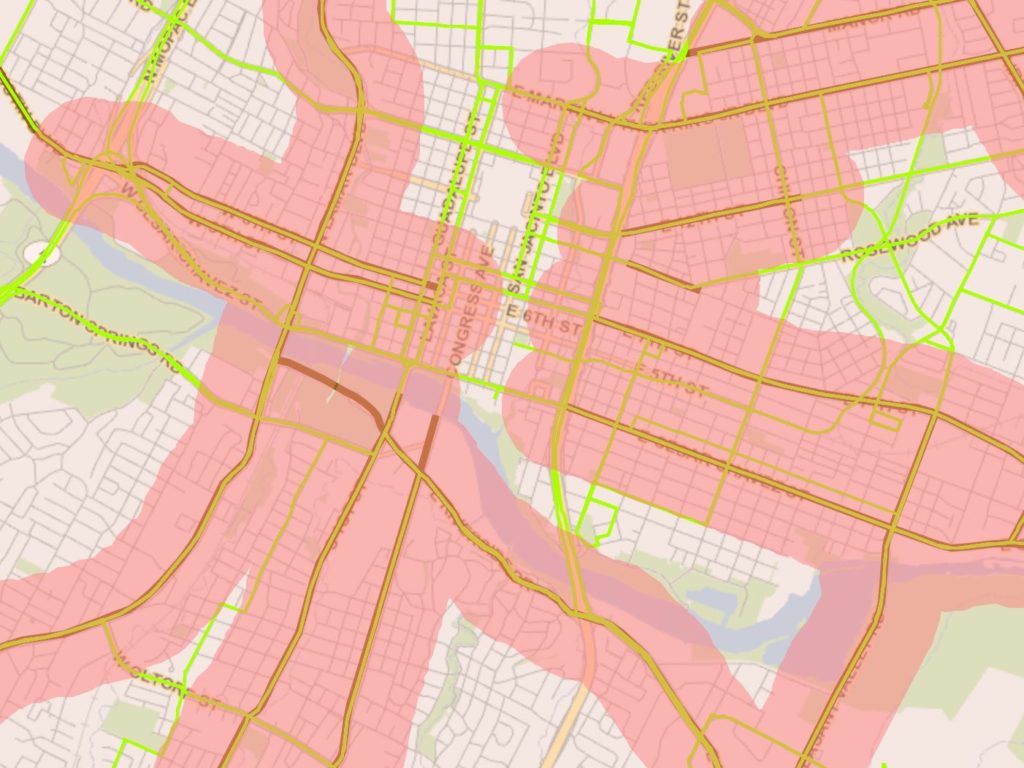
Approximate ADU Areas of Reduced Parking
See where parking requirements are reduced for accessory dwelling units (ADU). Tool by City of Austin.
Read More Austin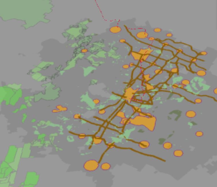
Planning and zoning long-range plan efforts
View a story map that shows the long-range planning efforts by the Planning and Zoning Department. Tool by City of Austin.
Read More Austin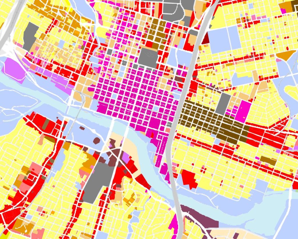
Zoning Totals App
Displays the zoning total by effective district and base. Tool by the City of Austin.
Read More Austin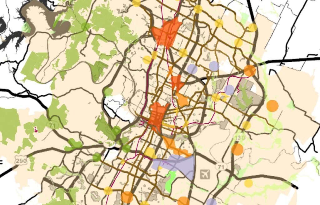
Imagine Austin Growth Concept Map App
Visualize the Imagine Austin Comprehensive Plan. Tool by City of Austin.
Read More Austin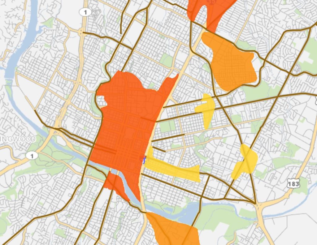
Major Planning Activities Nearby Map App
Use this app to find comprehensive planning activities near a point or an address. Tool by City of Austin.
Read More Austin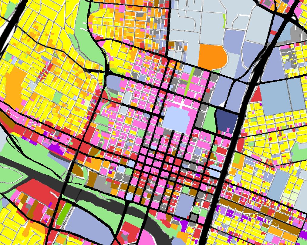
Land Use Totals App
App showing land use inventory totals by general and detailed land uses. Tool by City of Austin.
Read More Austin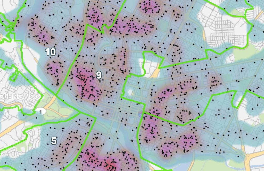
Draft Board of Adjustments Map App
Find Board of Adjustment Cases and see heat maps showing their concentrations. Use a filter to see cases within certain date ranges. Tool by City of Austin.
Read More Austin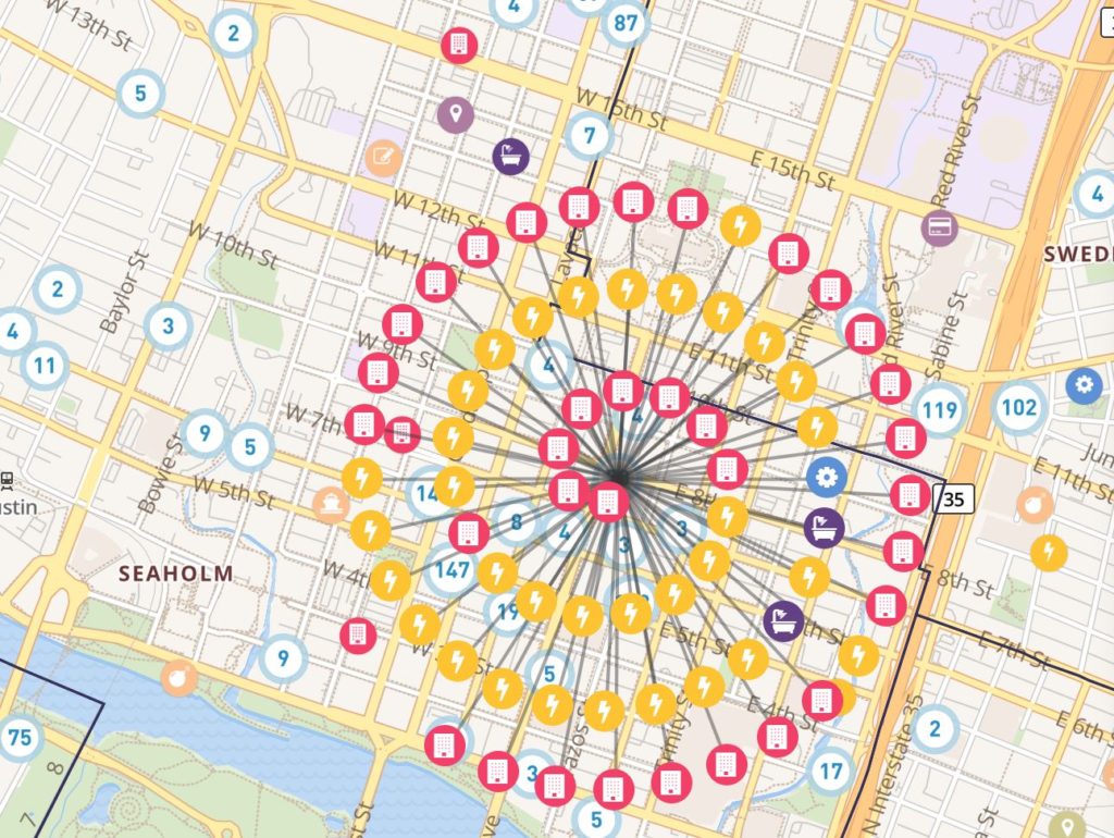
Austin Development Tracker
Link to the City of Austin Development Services Development Tracker. Tool by City of Austin.
Read More AustinMillennial Cities has collected hundreds of interactive, data-driven visualization tools and web mapping applications to provide users with authoritative information needed for planning, analysis, awareness, and citizen engagement. Explore our free portal to discover and make use of publicly available geospatial data and mapping applications. Find a collection of story maps, web maps, web applications, and dashboards that address stormwater management, short-term rentals, demographics, traffic resources and more.
The mapping applications above are intended to make living in Texas easier and to provide users with ways to live an engaged and informed civic life. From the Austin Development Tracker to urban displacement maps, use these resources for staying geographically connected to Texas. Remember to check back in periodically as new Texas web mapping applications and maps will continue to be added.
Currently, Texas web mapping applications include Austin GIS tools and Houston GIS tools.

What is Millennial Cities?
Millennial Cities is an interactive web mapping site that provides access to important maps, data, and map applications. The purpose of including these free interactive tools on the website is to provide access to and promote the use of urban planning geospatial resources. These resources are intended to help citizens better understand their surroundings and make more informed decisions.
The evolution of web mapping applications and geographic information system (GIS) technology has presented a great opportunity for the planning community to foster spatial thinking among friends and coworkers. The use of analysis tools, spatial data, and web maps to examine and highlight issues has never been so easy and readily available. It also provides local governments with a means to promote critical information to the general public.
