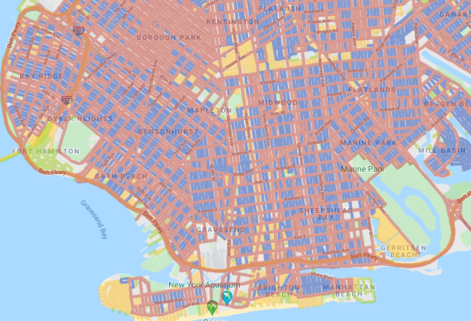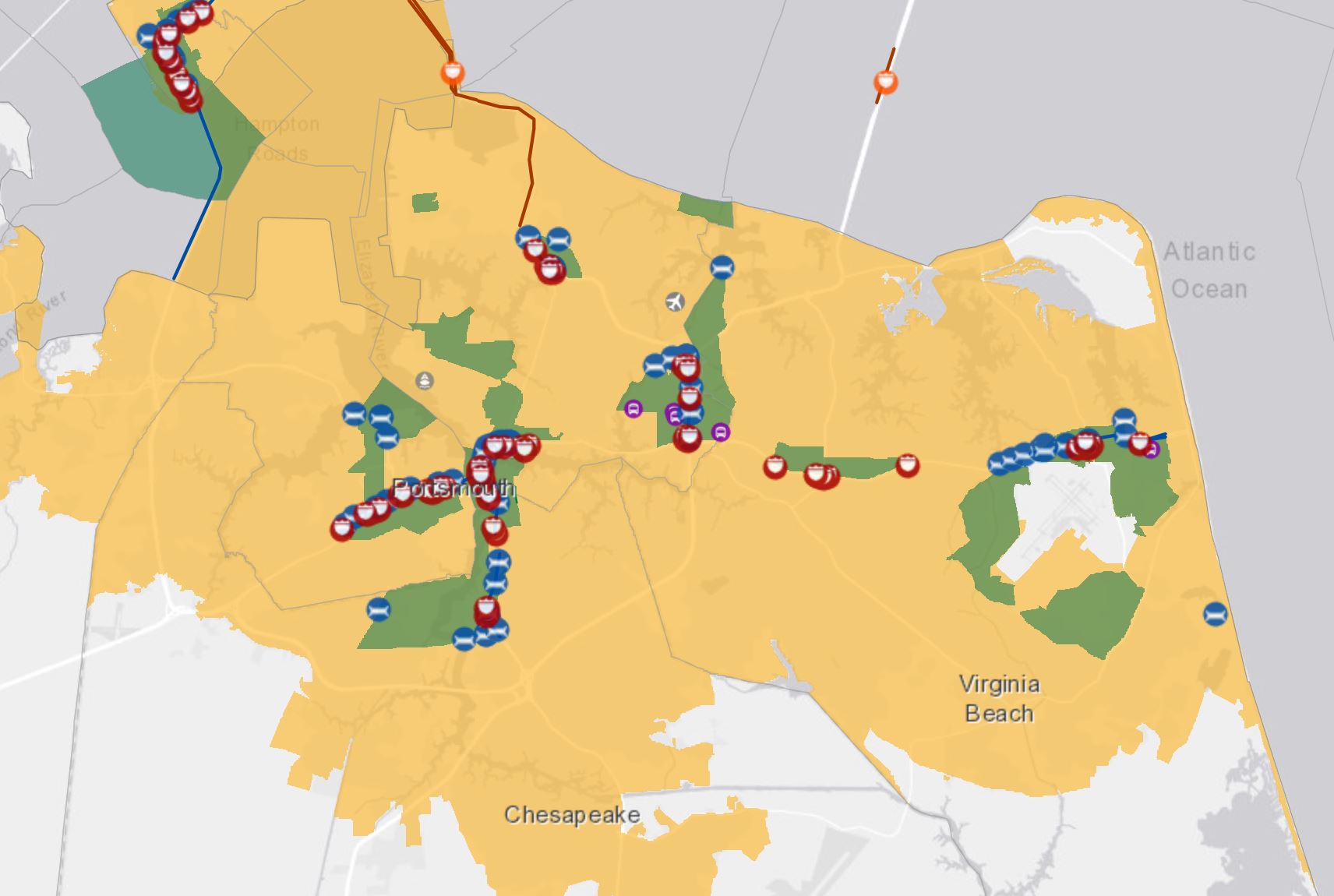
Use the Department of Transportation’s interactive Opportunity Zones map to locate federal investment in major infrastructure projects located in or around opportunity zones in the U.S. Built to encourage economic investment in certain areas, the Opportunity Zones Map can be used to visually find transportation infrastructure with a birds-eye-view.
Main Features
- Shows interstate exits
- Shows Major FHWA Projects
- Shows NHS Bridges
- Shows Amtrak / Commuter Rail Stations
- Shows Commuter Rail Stations
- Shows Intercity Bus Stations
- Shows Light Rail Stations
- Shows Airports
- Shows Major Ports
- Shows Amtrak Industrial Properties
- Shows Intermodal Rail Facilities TOFC COFC
- Shows Intermodal Marine Facilities RoRo
- Shows Major FHWA Project Segments
- Shows Rail Sidings
- Shows National Highway System
- Urban areas and clusters
- Opportunity Zone FAQs
- Includes Data Catalog
- Toggle Layers
- Add Data Option
Launch the Opportunity Zones Map
Authors and Creators
Department of Transportation