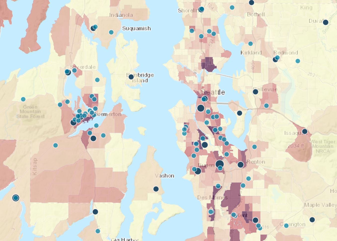
Use the Poverty Rates in Your Community map to see poverty rates at the county, state, and census-tract level alongside Head Start locations. Enter a location in the search bar or zoom into an area to see a color-coded map that displays Head Start locations, LEA Data on Students Experiencing Homelessness, and ACS Poverty Status Variables – Boundaries.
Main Features
- Searchable locations
- Color-coded poverty map
- Shows Head Start locations
- Includes LEA data on students experiencing homelessness
- Includes ACS poverty data
- Clickable locations show detailed poverty information
Launch the Poverty Rates in Your Community Map
Authors and Creators
U.S. Department of Health and Human Services Early Childhood Learning and Knowledge Center