New York Web Mapping Applications and Tools
- All
- New York City
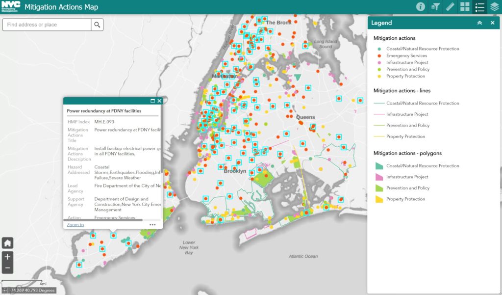
Mitigation Action Map
Explore mitigation projects in New York City. Map by New York City.
Use Tool New York City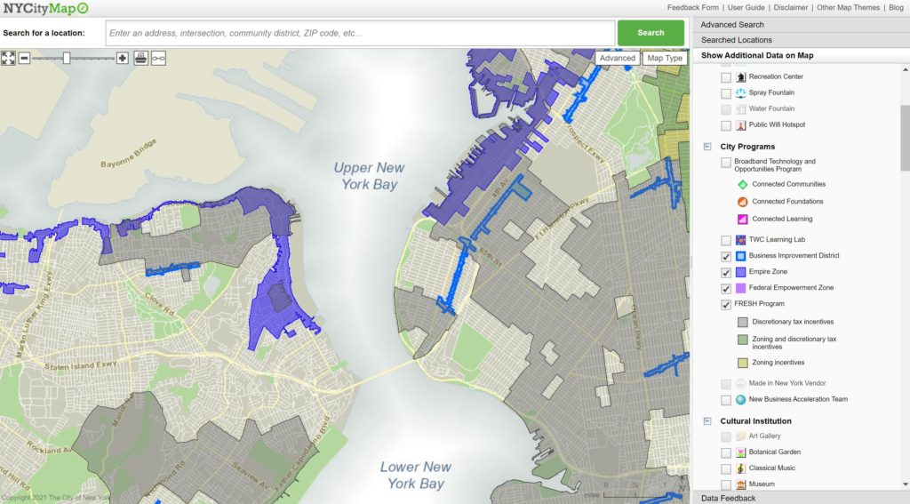
NYCityMap
Explore a wealth of information in New York City. Tool by City of New York.
Use Tool New York City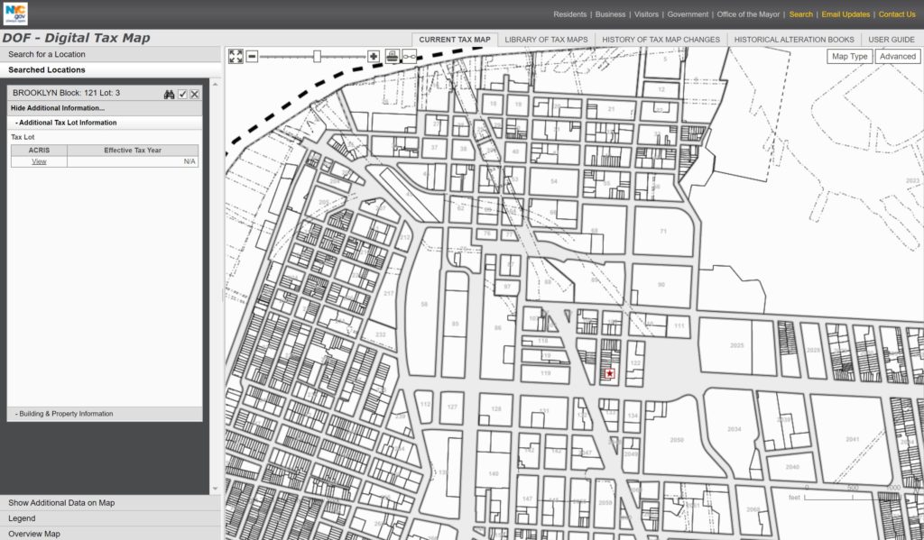
Digital Tax Map (DTM)
Explore historical and current tax maps for New York City. Tool by City of New York.
Use Tool New York City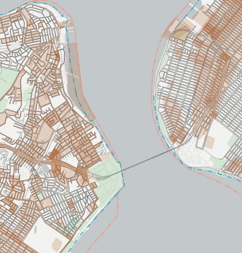
NYC Street Map
Find specific street information such as width, name, and status. Tool by City of New York.
Use Tool New York City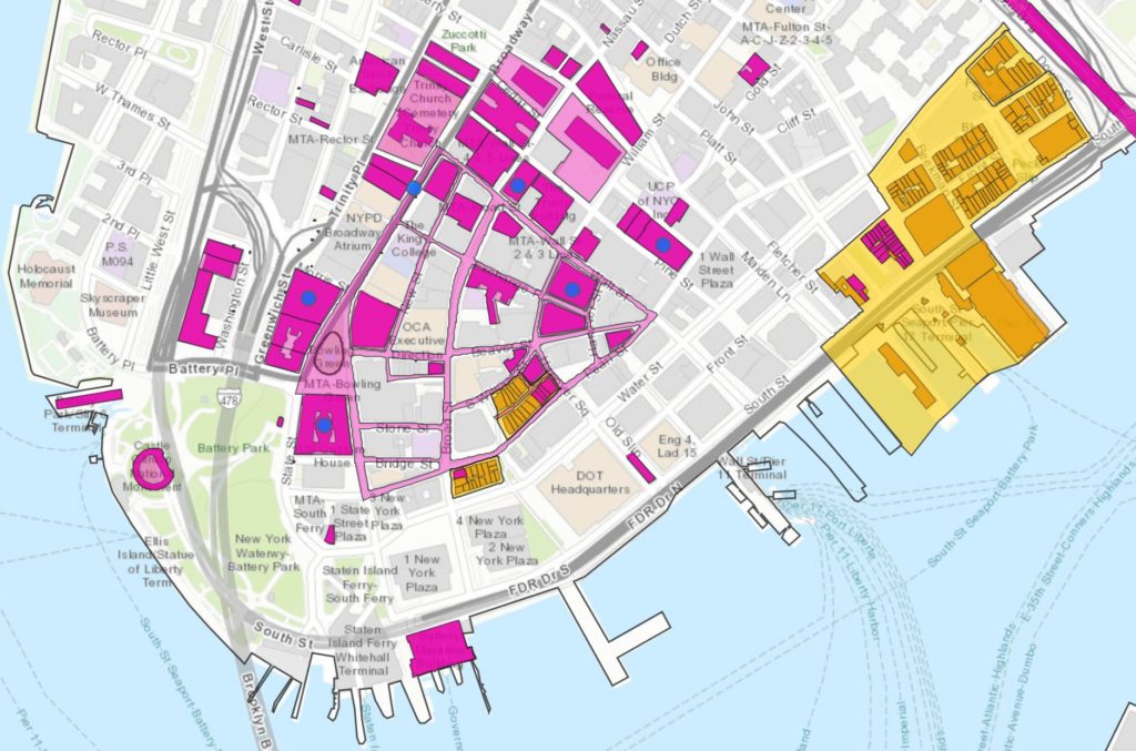
Discover New York City Landmarks
Find and explore New York City landmarks. Tool by City of New York.
Use Tool New York City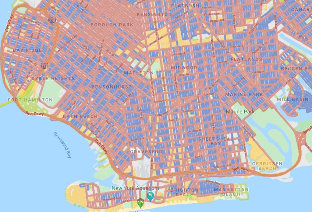
PlowNYC
Track snow plowing and see your streets priority designation. Tool by City of New York.
Use Tool New York City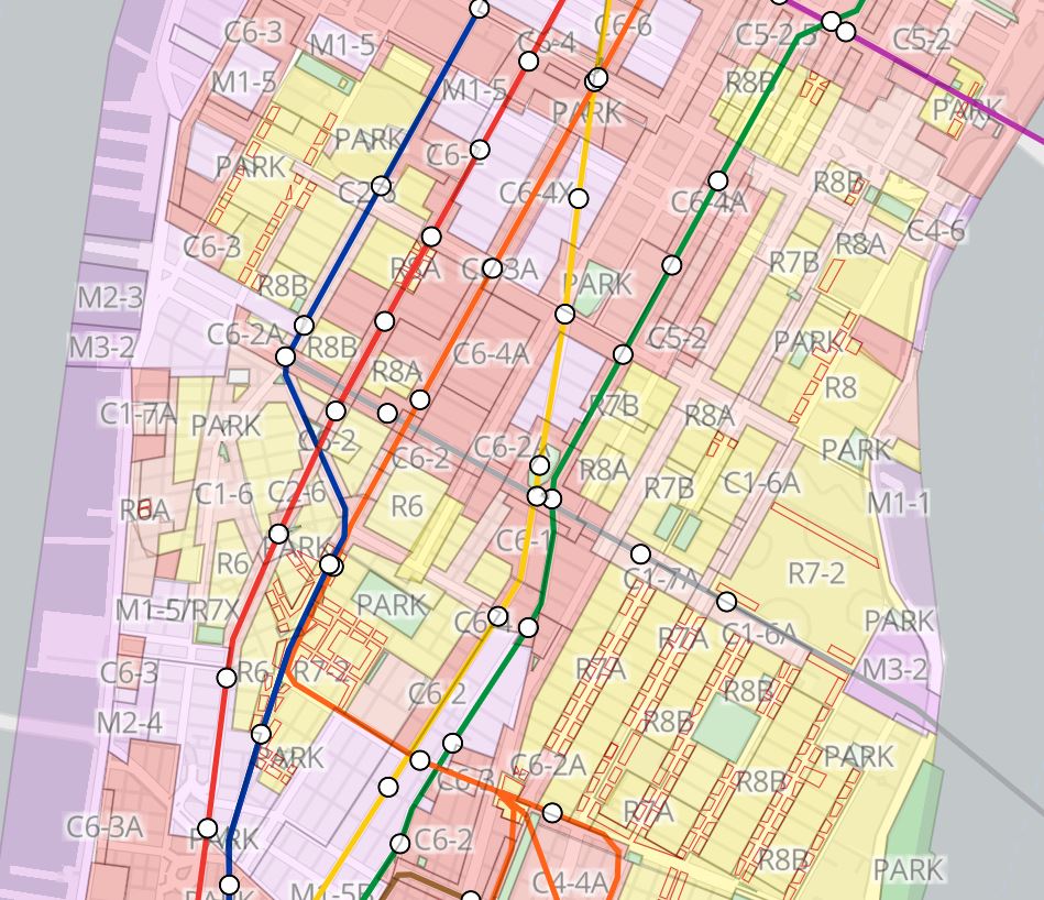
Zoning and Land Use (ZoLa)
Zoning and land use in New York City. Tool by New York City.
Use Tool New York City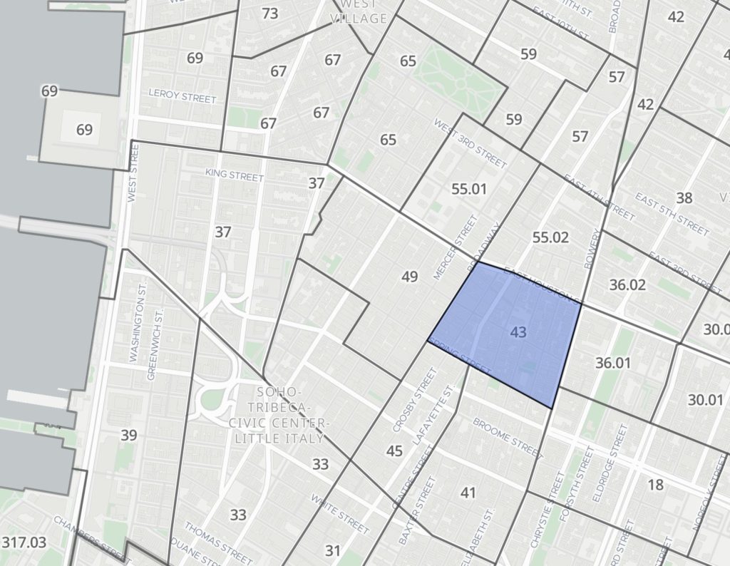
Population FactFinder
View and compare both U.S. Census data and American Community Survey data for New York City. Tool by City of New York.
Use Tool New York City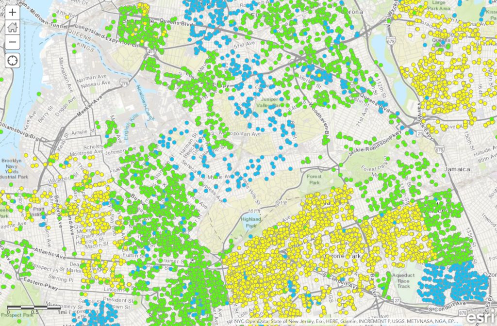
Green Infrastructure
Green infrastructure projects in New York City. Tool by City of New York.
Use Tool New York City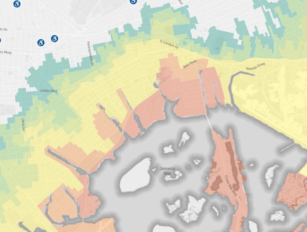
Hurricane Evacuation Zone Finder
Hurricane evacuation zones for New York City. Tool by City of New York.
Use Tool New York City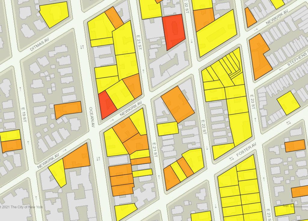
Rat Information Portal
Explore rat inspection information for New York City. Tool by City of New York.
Use Tool New York City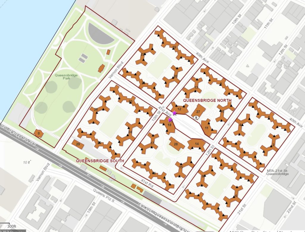
NYCHA
New York City Housing Authority development information. Tool by City of New York.
Use Tool New York City
SIdewalk Cafe Map
Find sidewalk cafe locations, license applications, and regulations in New York City. Tool by City of New York.
Use Tool New York City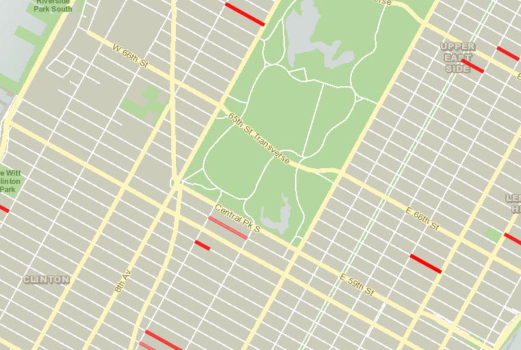
Street Closures
Find street closures in New York City by location, time, and date due to events such as parades and filming. Tool by City of New York.
Use Tool New York City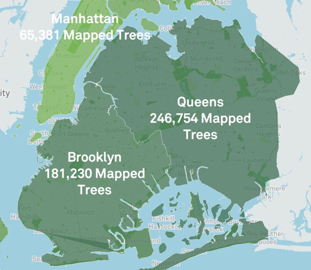
New York City Street Tree Map
Find tree information for New York City including tree statistics and recent care activity. Over 692,000 trees mapped so far. Tool by City of New York.
Use Tool New York City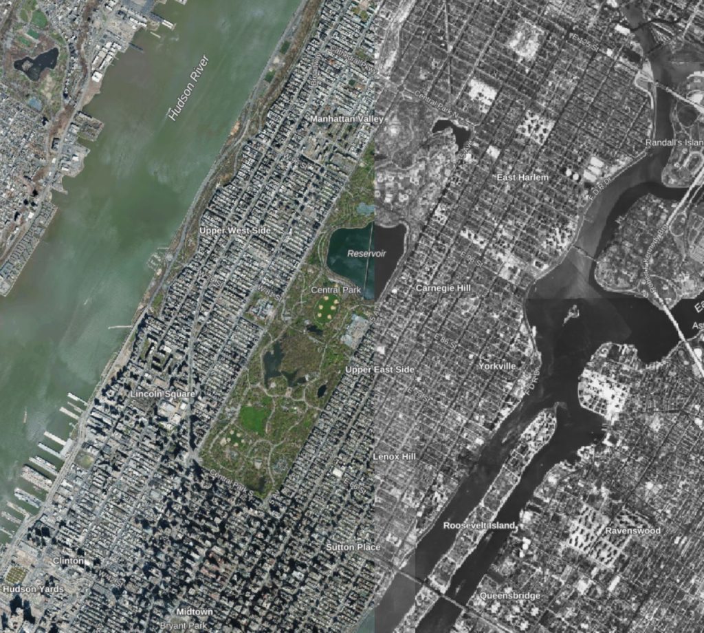
NYC Then and Now
Compare aerial photography as far back as 1924. Tool by City of New York.
Use Tool New York City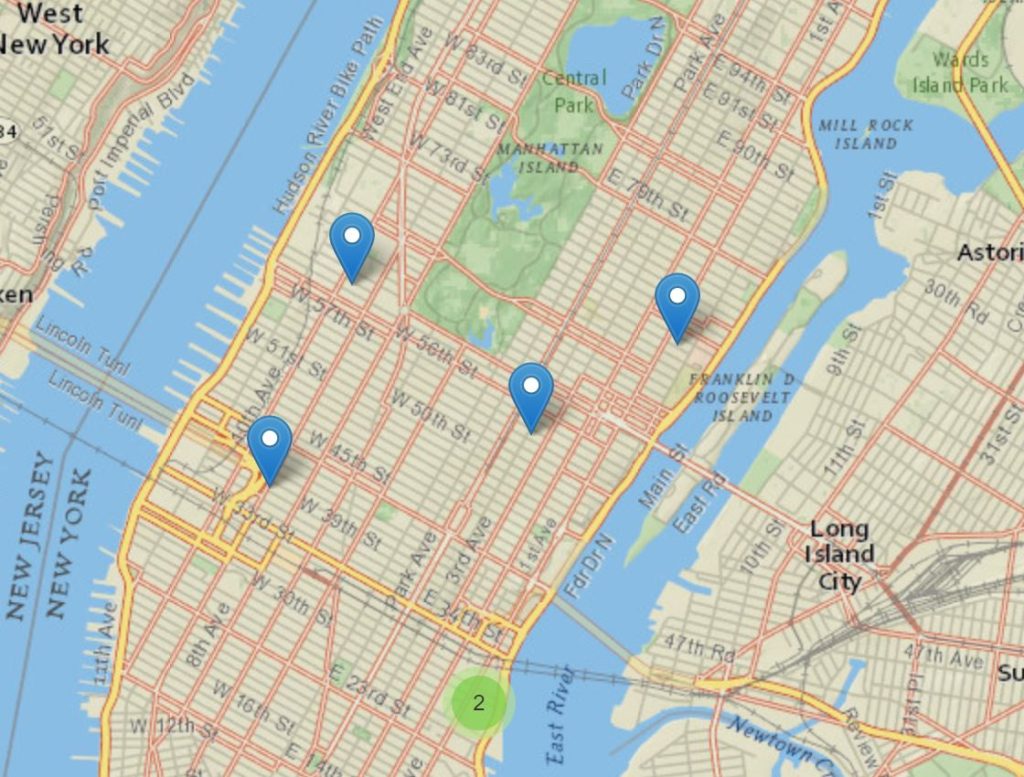
NYC Health Map
See health information including HIV testing, quit smoking programs, and vaccination facilities. Tool by City of New York.
Use Tool New York City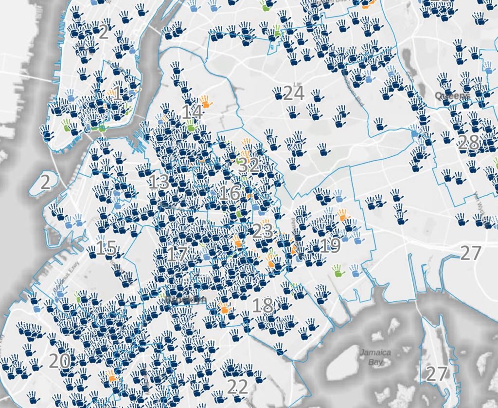
Child Care Provider Search
Search contracted and non-contracted child care providers. Filter by needs. Tool by City of New York.
Use Tool New York City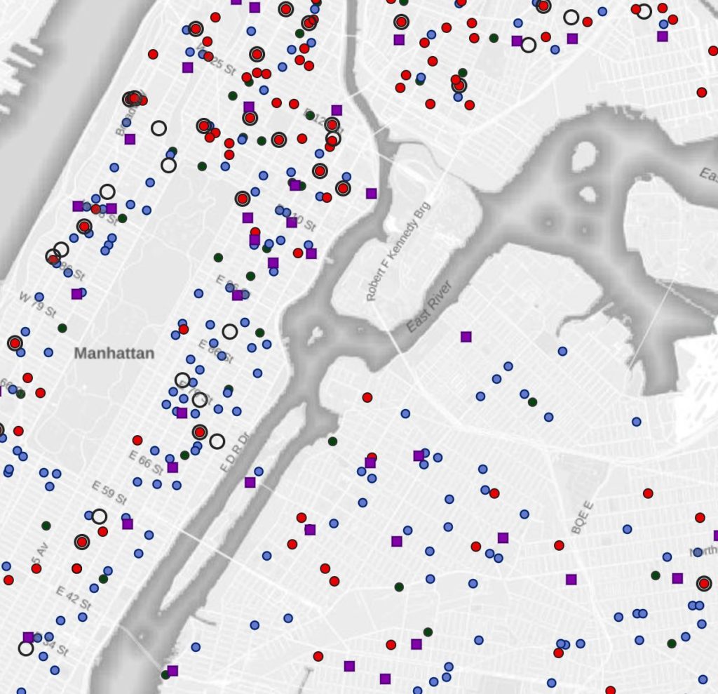
Food Assistance
Search the five boroughs for food pantries and soup kitchens. Tool by City of New York.
Use Tool New York CityMillennial Cities has collected hundreds of interactive, data-driven visualization tools and web mapping applications to provide users with authoritative information needed for planning, analysis, awareness, and citizen engagement. Explore our free portal to discover and make use of publicly available geospatial data and mapping applications. Find a collection of story maps, web maps, web applications, and dashboards that address stormwater management, short-term rentals, demographics, traffic resources and more.
The mapping applications above are intended to help New York residents live an engaged and informed civic life. From New York’s green infrastructure map to the rat information portal, use these resources for staying geographically connected to New York. Remember to check back in periodically as new New York maps and web mapping applications will continue to be added.
Currently, New York web mapping applications include New York City GIS tools.
Want Millennial Cities Content Delivered to Your Inbox?
Want free articles, news, tools, and information? Subscribe below and we’ll add you to the list!

What is Millennial Cities?
Millennial Cities is an interactive web mapping site that provides access to important maps, data, and map applications. The purpose of including these free interactive tools on the website is to provide access to and promote the use of urban planning geospatial resources. These resources are intended to help citizens better understand their surroundings and make more informed decisions.
The evolution of web mapping applications and geographic information system (GIS) technology has presented a great opportunity for the planning community to foster spatial thinking among friends and coworkers. The use of analysis tools, spatial data, and web maps to examine and highlight issues has never been so easy and readily available. It also provides local governments with a means to promote critical information to the general public.
