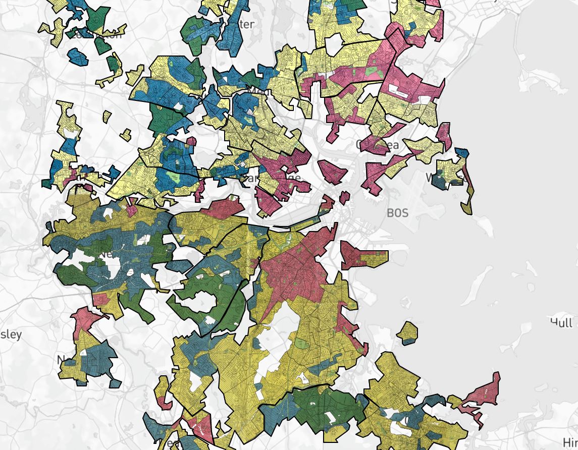
Between 1935 and 1940, in the midst of the Great Depression recovery, the Home Owner’s Loan Corporation (HOLC) used data from local real estate appraisers, developers, and lenders to assign housing “grades” to residential neighborhoods across the U.S. in an effort to show a particular neighborhood’s “mortgage security.”
Use this tool to uncover the color-coded maps and see how the HOLC successfully convinced lenders that the presence of African Americans, ethnic groups, and the white working-class “compromised” home value and mortgage security.
Main Features
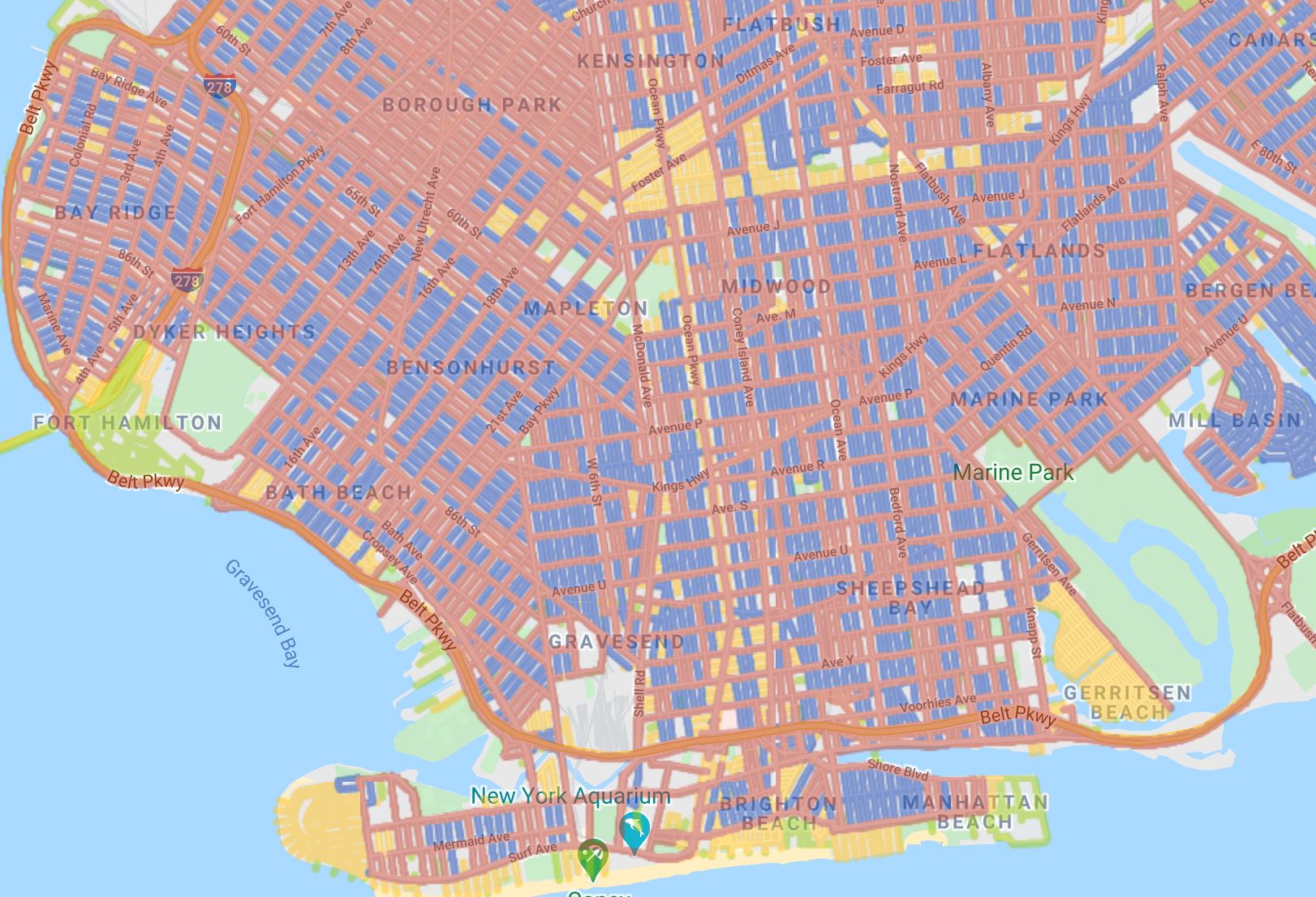
- Modernized and replicated historical redlining maps
- Locate areas by grade, demographic, and description
- Zoom in on an area or enter an address
- Hover and click an area to see description and characteristics
- Choose from several map display options
- Downloadable data and shapefiles
Launch the Mapping Inequality: Redlining In New Deal America Tool
Authors and Creators
University of Richmond with assistance from Virginia Tech, University of Maryland, John Hopkins University, the Andrew W. Mellon Foundation, and others.