With the Israeli-Palestinian conflict raging on, we’ve put together a quick list of interactive maps to better understand what’s happening in Israel, the West Bank, and the Gaza Strip.
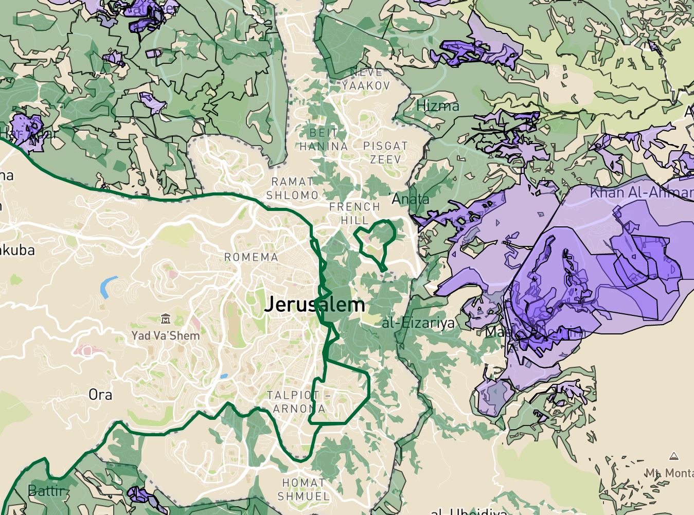
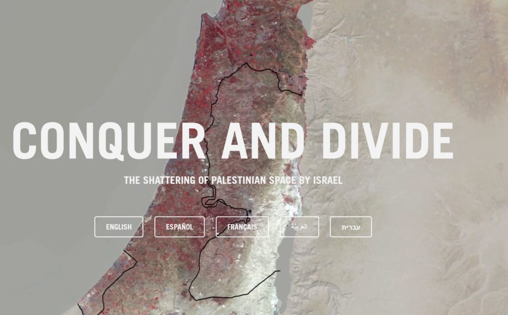
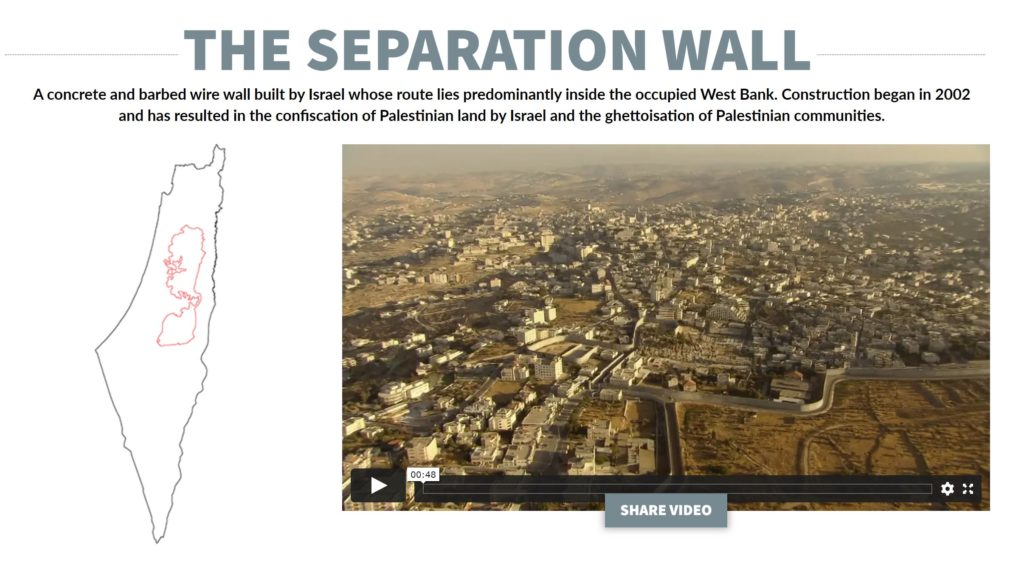
1. Conquer and Divide: Interactive map illustrating the measures Israel has used to encroach upon Palestinian space
“A collaboration with independent research agency Forensic Architecture, the project illustrates the various measures Israel has used to encroach upon Palestinian space over the decades; how Israel has shattered the land into small, isolated units; and how it has instituted divisions, keeping Palestinians from different areas apart from one another and from Israelis.”
2. VANISHING PALESTINE: An interactive map that summarizes in one minute how Palestine was colonized – and what the land looks like today
“Explore the modern history of Palestine in an easy-to-use format. Click on any year in our timeline to discover the story’s milestones and major players. Watch amazing drone footage high above historic Palestinian towns. Explore a data visualization that highlights how and when hundreds of villages were destroyed, turning hundreds of thousands of Palestinians into refugees overnight. Vanishing Palestine is an interactive map that summarizes in one minute how Palestine was colonized – and what the land looks like today.”
“Browse the database by issues such as Jerusalem, security, borders and refugees. Under each issue you will find dozens of entries containing short descriptions of key documents and events, primary sources and relevant maps from the interactive database.”
See which countries recognize Israel, Palestine, or both
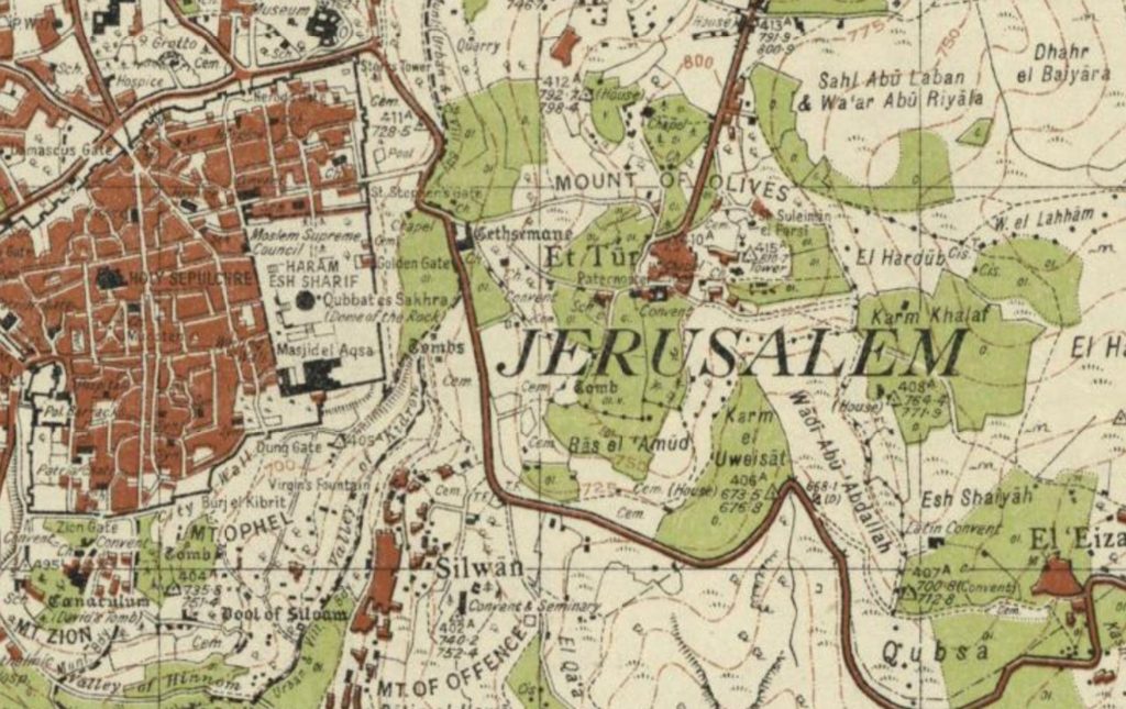
5. PALESTINE, TODAY: EXPLORE HOW THE NAKBA TRANSFORMED PALESTINE
“Palestine has been transformed dramatically over the seven decades since the Nakba (”catastrophe”) of 1947-49, when over 500 Palestinian towns and villages were depopulated and over 750,000 people displaced during the creation of the State of Israel. This interactive map tells the story of many of the communities that were affected by the Nakba, including those that remained.”
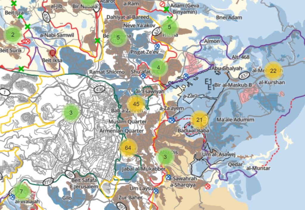
“This complete, interactive map of the West Bank and Gaza includes information about Palestinian communities and Israeli settlements, checkpoints, the separation barrier, agricultural gates in the separation barrier, settlement zones in East Jerusalem, etc. Plus ongoing B’Tselem reports and video clips, organized by location.”
Want Millennial Cities Content Delivered to Your Inbox?
Want free articles, news, tools, and information? Subscribe below and we’ll add you to the list!
Find Other Maps Similar to this “Interactive Maps to Better Understand the Israeli-Palestinian Conflict” list in our interactive tools section and find other tool reviews in our blog.