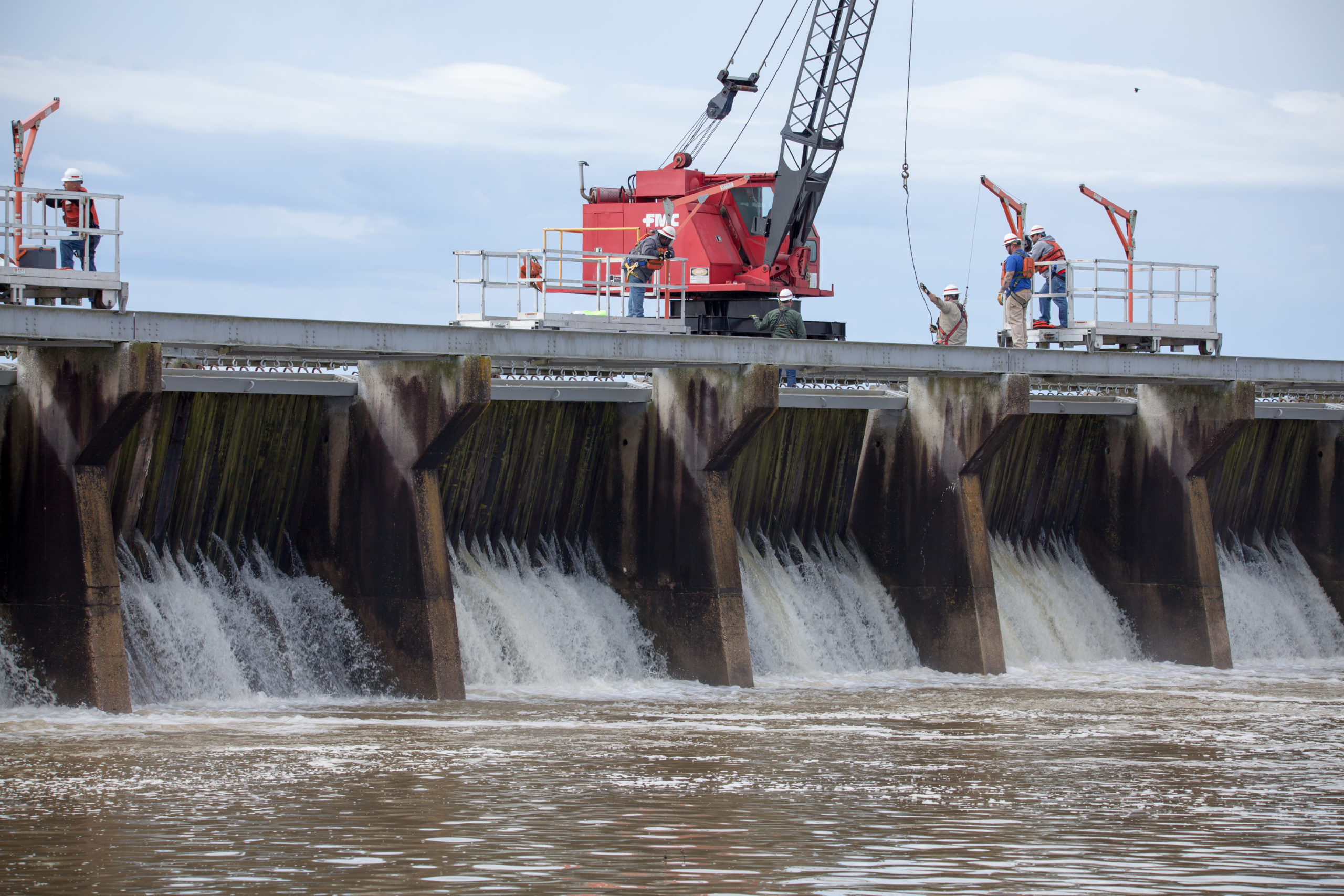
Mississippi River Flood Control as the Bonnet Carre Spillway opens in 2019

Mississippi River Flood Control Is Creating An Environmental Disaster

The Mississippi River is a beast! Stretching an incredible 2,350 miles, it navigates through 10 states and 29 “Mississippi River flood control systems” to discharge some 593,000 cubic feet of water per second into the Gulf of Mexico. No big deal right? Wrong. Not only is the Mississippi River the fourth largest river in the …

Native Village of Napakiak Woman

Native Village Of Napakiak Creates A Managed Retreat Plan

The Native Village of Napakiak has created a Managed Retreat Plan to relocate it’s 344 residents away from riverine erosion. Located along the north bank of the Kuskokwim River in Alaska, the community has been losing land for decades — sometimes having to use trailers and other heavy equipment to pull erosion-threatened buildings and structures …

poverty in america

Neighborhood Poverty In America: Using The Opportunity Atlas

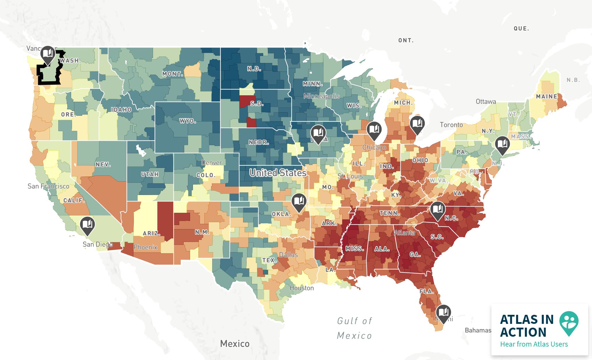
Neighborhood poverty in America may be difficult to pinpoint, but it’s certainly not impossible. The Opportunity Atlas, created by the U.S. Census Bureau and Opportunity Insights, is an interactive map that successfully identifies which neighborhoods provide children the best chance of rising out of poverty. Using anonymous data and following 20 million Americans from their …

nyc tree map

Check Out This Interactive New York City Street Trees Map

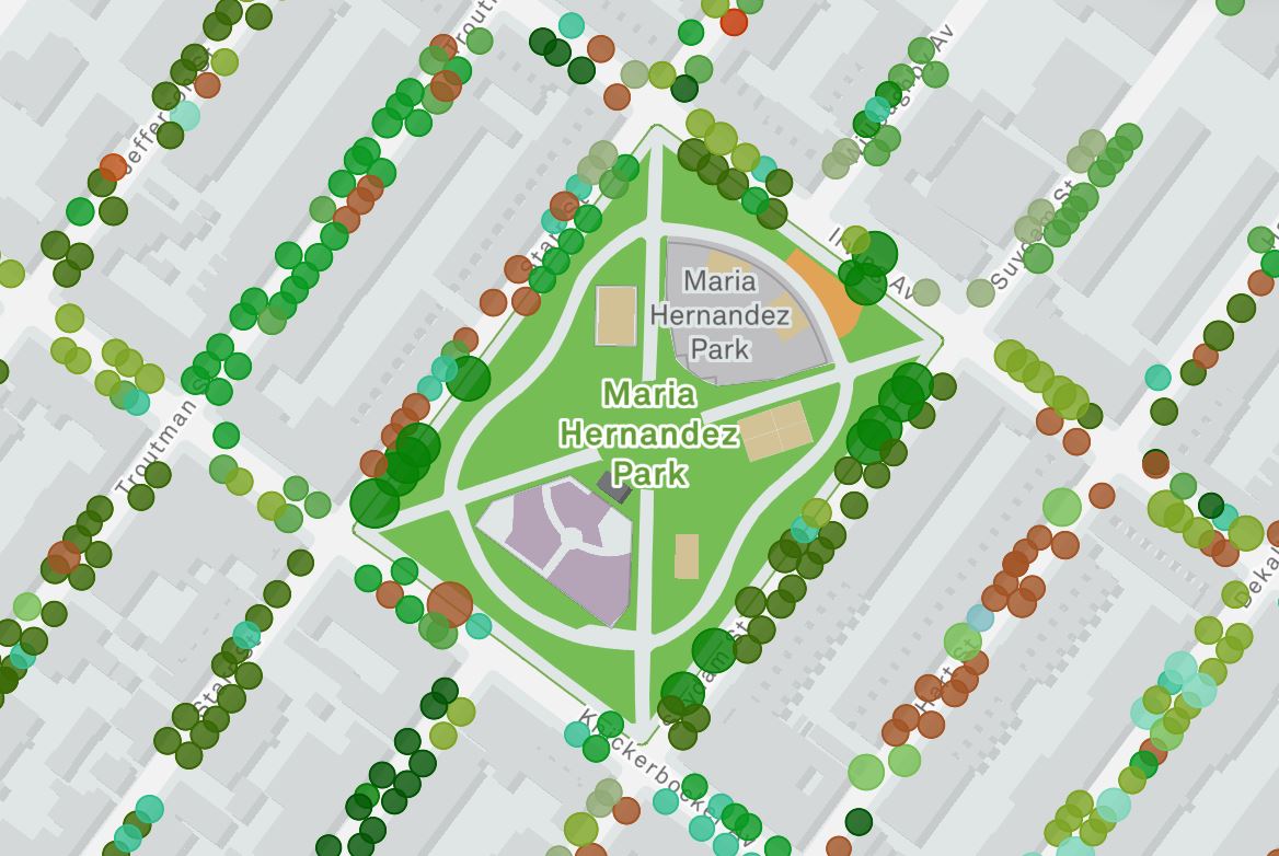
New York City may have lost a lot of trees since its early founding, but there’s signs of hope in the Big Apple with the new “New York City Street Trees Mapper.” The city’s latest tree census includes, “the world’s most accurate and detailed map of a city’s street trees,” and it’s ushering in a …

Are Gun Policies Really Working? Compare Outcomes Using This Tool

Are gun policies really working in America? According to the Gun Policy Outcome Explorer by the RAND Corporation, it depends on who you ask. While gun possession is largely (and constitutionally) protected in the United States, the often tragic results of such possession – firearm homicides, murders, mass shootings — aren’t always discussed equally. And …

rat in new york

New York Has A Rat Map And It’s Pretty F’n Awesome

New York has a rat map and it’s pretty F’n awesome! Officially known as the Rat Information Portal (or more fittingly, the R.I.P.), the “NYC rat map” lets you visualize the insane amount of rats in New York City. Not only does it show you active “hot spots” across the City, but you’re actually able …

crop faceless person with cash and calculator app on smartphone

Millennials Still Make Less Money: Here’s The Proof

Despite being better educated, Millennials still make less money than their parents. And unless you’ve been living under a rock, you’ve probably heard the same accusations why — Millennials are lazy, they bounce between jobs, they’re too educated, they’re tech obsessed — there’s a lot of them. But how much of this is true? Well, …

Capitol Rioters

Hate Groups In the United States: Using The SPLC Tool

Hate groups in the United States come in many different forms — white nationalist, anti-LGBTQ, skinheads, neo-confederates, etc. — but how many of them actually exist? Well, according to the Southern Poverty Law Center (SPLC), who has been fighting hate groups since 1971, there are over 1600 extremist groups and 940 hate groups currently operating in …

old wooden rural abandoned country cottage surrounded by bushes

Top 5 States Where Renters Are At Risk Of Eviction

According to a new report by AdvisorSmith, a significant number of households across the U.S. continue to be at risk of eviction due to the economic effects of COVID-19. In total, 17.1% of U.S. renters are late or behind on their rent and 49.1% of those households expect to be evicted within the next two …

birds on ice bergs

Visualize Sea Level Rise With NOAA’s New Tool

The National Oceanic Atmospheric Administration (NOAA) has created a user-friendly tool to visualize the potential impacts of sea level rise on communities. Called the Sea Level Rise Viewer, the tool allows you to pick an area (in the U.S.) and explore potential inundation through best and worst case scenarios. Additionally, you can use it to …