Mississippi River Flood Control as the Bonnet Carre Spillway opens in 2019

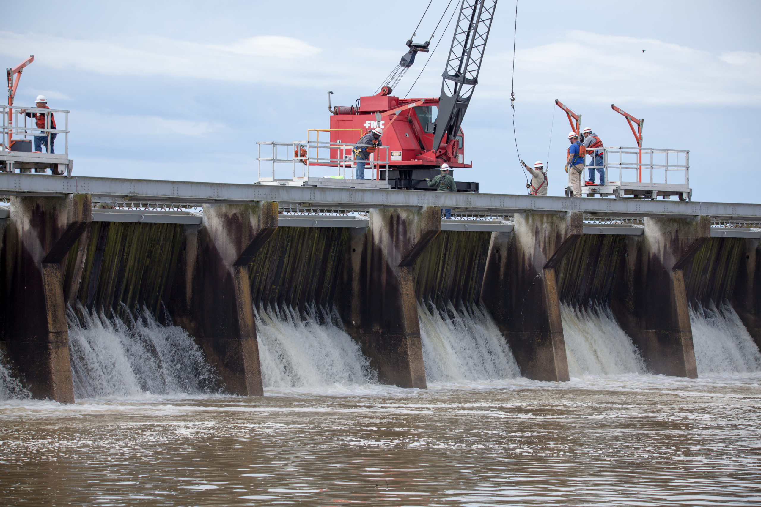
Mississippi River Flood Control Is Creating An Environmental Disaster

The Mississippi River is a beast! Stretching an incredible 2,350 miles, it navigates through 10 states and 29 “Mississippi River flood control systems” to discharge some 593,000 cubic feet of water per second into the Gulf of Mexico. No big deal right? Wrong. Not only is the Mississippi River the fourth largest river in the …

Native Village of Napakiak Woman

Native Village Of Napakiak Creates A Managed Retreat Plan

The Native Village of Napakiak has created a Managed Retreat Plan to relocate it’s 344 residents away from riverine erosion. Located along the north bank of the Kuskokwim River in Alaska, the community has been losing land for decades — sometimes having to use trailers and other heavy equipment to pull erosion-threatened buildings and structures …

nyc tree map

Check Out This Interactive New York City Street Trees Map

New York City may have lost a lot of trees since its early founding, but there’s signs of hope in the Big Apple with the new “New York City Street Trees Mapper.” The city’s latest tree census includes, “the world’s most accurate and detailed map of a city’s street trees,” and it’s ushering in a …

birds on ice bergs

Visualize Sea Level Rise With NOAA’s New Tool

The National Oceanic Atmospheric Administration (NOAA) has created a user-friendly tool to visualize the potential impacts of sea level rise on communities. Called the Sea Level Rise Viewer, the tool allows you to pick an area (in the U.S.) and explore potential inundation through best and worst case scenarios. Additionally, you can use it to …