The U.S. Fish and Wildlife Service (USFWS) is the main federal organization responsible for providing the United States and its Trust Territories with geospatial data on wetlands and related aquatic environments.
Similar to other federal agencies, the USFWS provides a stewardship of their data through the National Wetlands Inventory, making wetland information accessible to the public by means of their “Wetlands Mapper” and “Wetlands Project Mapper.”
The goal of the National Wetlands Inventory, according to the USFWS, is to, “provide the citizens of the United States and its Trust Territories with current geospatially referenced information on the status, extent, characteristics and functions of wetland, riparian, deepwater and related aquatic habitats in priority areas to promote the understanding and conservation of these resources.”
This data, in conjunction with the tools they’ve built, is intended to advance the protection of wetland assets, teach the public about wetlands, and, through examination and navigation, help leaders make more informed decisions.
Use the USFWS wetlands maps below to visualize the state of wetlands in the U.S.
Wetlands Mapper
The Wetlands Mapper Dashboard
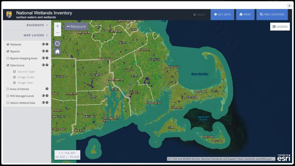
Wetlands Mapper Overview
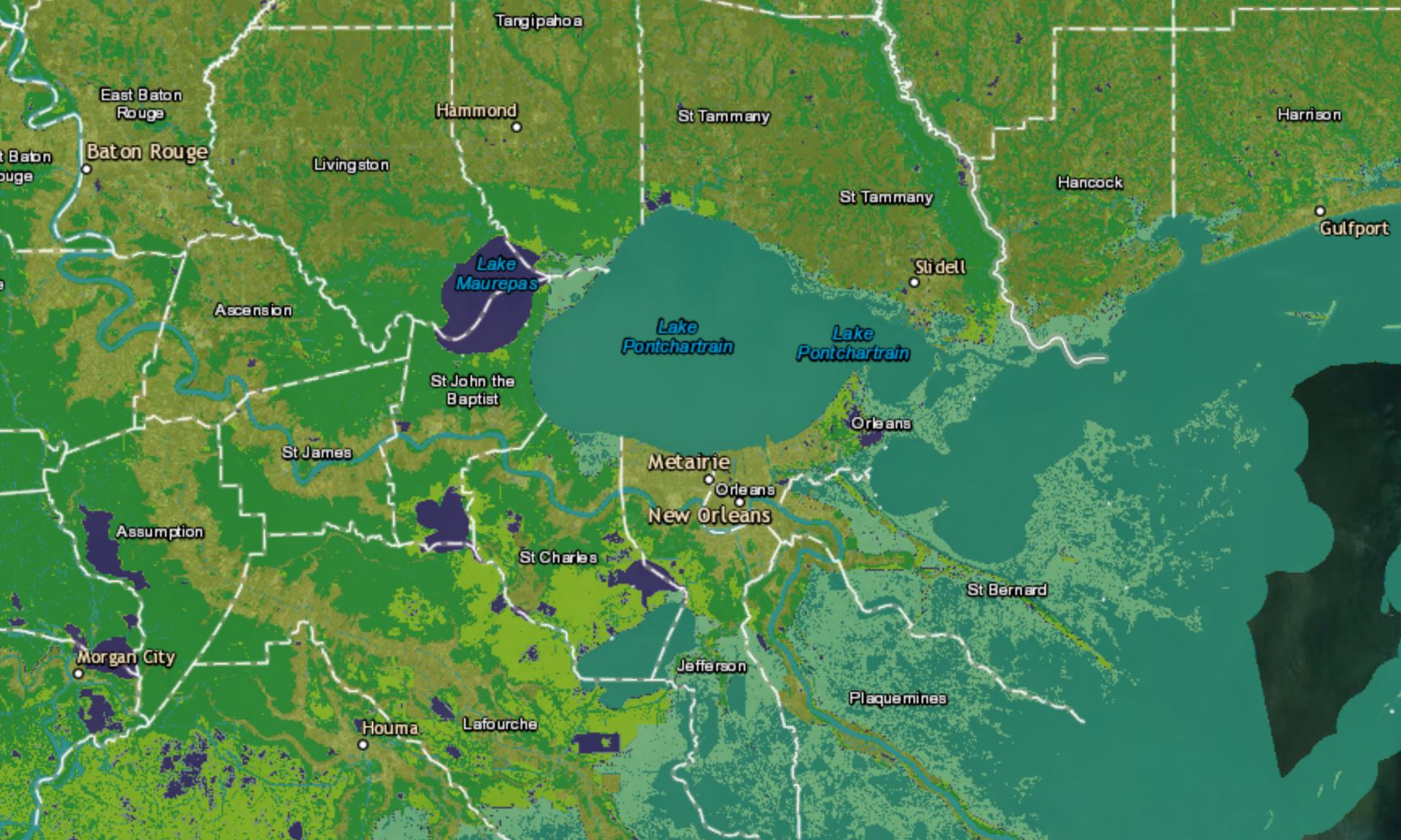
The Wetlands Mapper is an interactive mapping tool that shows wetlands across the United States. The color-coded map contains a selection of base maps and map layers where users can search or zoom into a location to see wetland status and type.
The tool has seven map layers to choose from:
- Wetlands: areas that are designated as wetlands; shows location and extent of wetlands and deepwater habitats.
- Riparian: areas where plant habitats and communities are transitional in nature, serving as an interface between land and an aquatic area, such as a stream or river.
- Riparian Mapping Areas: shows current riparian mapping projects across the United States.
- Data Source: select to see source type, image scale, and image year.
- Areas of Interest: shows wetland areas of international importance (Ramsar sites) as well as protected areas, such as National Wildlife Refuges. Click on any area to see detailed
- FWS Managed Lands: lands managed by the United States Fish and Wildlife Service.
- Historical Wetlands Data: areas marked as historical wetlands.
Wetlands Project Mapper
Wetlands Projects Mapper Dashboard
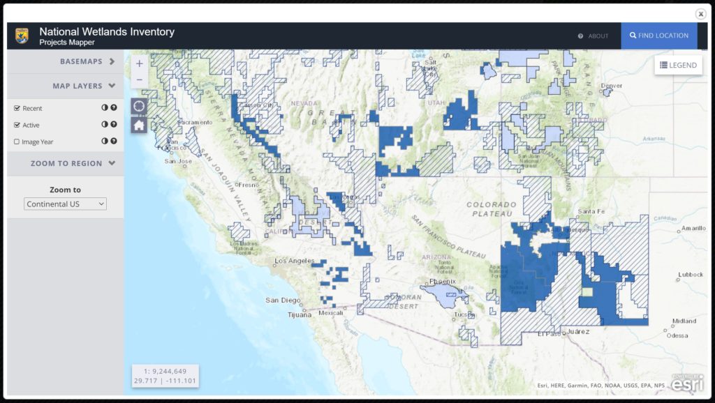
Wetlands Projects Mapper Overview
The Projects Mapper is an interactive tool designed to show wetlands mapping projects that are currently ongoing throughout the United States and U.S. Territories. Designed as a communication tool and a means to reduce duplication of efforts, the tool can be used to find recently mapped locations and planned locations.
Select the “Recent” layer to see the boundaries of projects that have recently been updated. Select the “Active” layer to see ongoing mapping projects. Select “Image Year” to see when the data was posted for the wetlands map.