Use a Wetlands Map to Visualize the State of American Wetlands
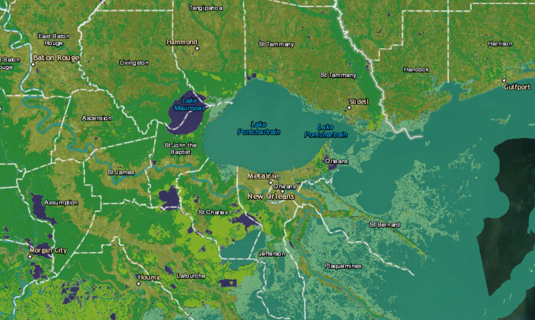
The U.S. Fish and Wildlife Service (USFWS) is the main federal organization responsible for providing the United States and its Trust Territories with geospatial data on wetlands and related aquatic environments. Similar to other federal agencies, the USFWS provides a stewardship of their data through the National Wetlands Inventory, making wetland information accessible to the …
Read more “Use a Wetlands Map to Visualize the State of American Wetlands”
