EXPLORE THE COMPREHENSIVE INTERACTIVE DATABASE OF THE ISRAELI-PALESTINIAN CONFLICT

Interactive Maps to Better Understand the Israeli-Palestinian Conflict

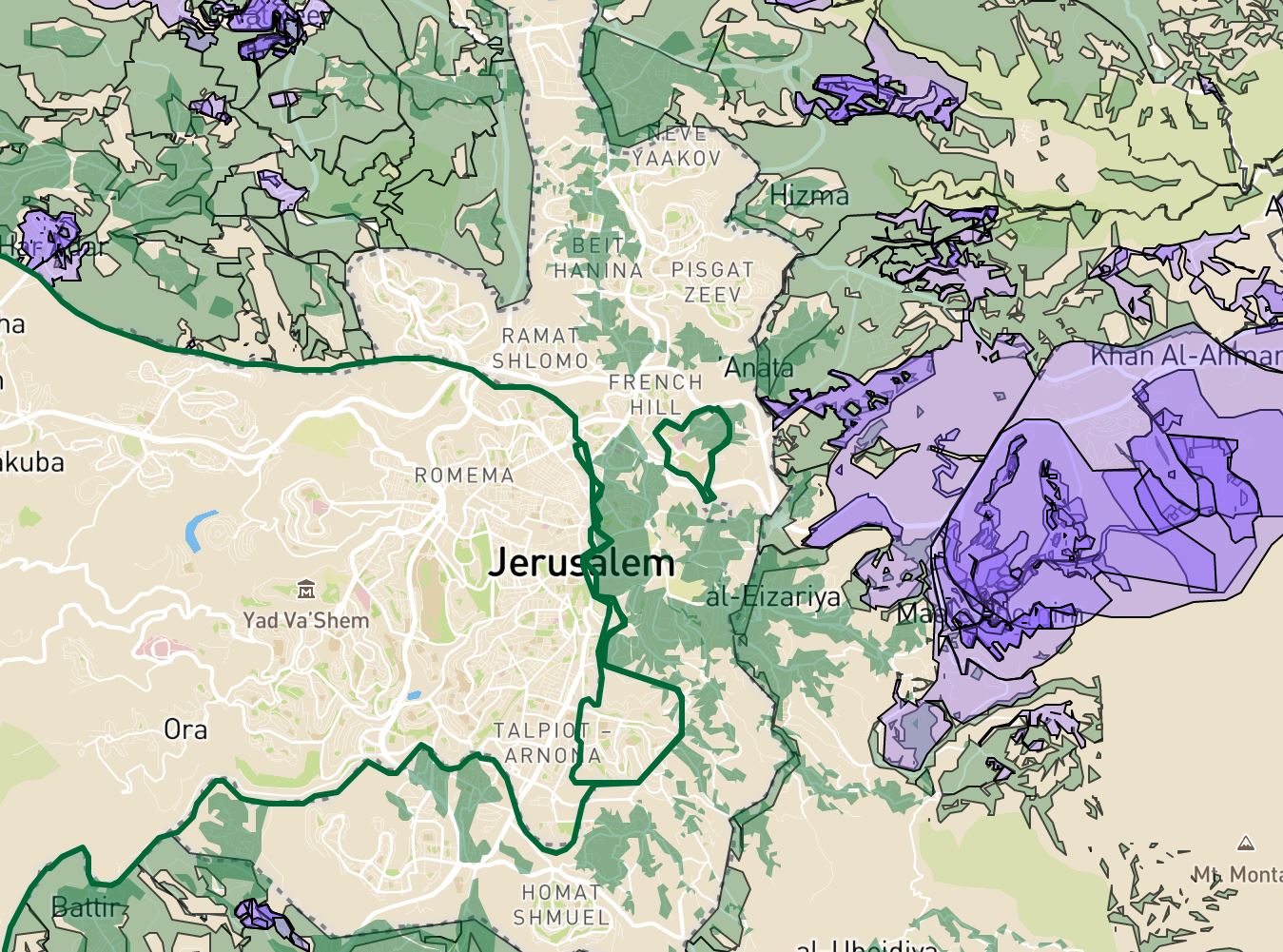
With the Israeli-Palestinian conflict raging on, we’ve put together a quick list of interactive maps to better understand what’s happening in Israel, the West Bank, and the Gaza Strip. And, as always, feel free to explore more web mapping applications and interactive data tools found on this site. 1. Conquer and Divide: Interactive map illustrating …

retention pond in Florida

Retention Pond vs Detention Pond: Which is Better for Stormwater

Retention Pond vs Detention Pond As our cities continue to grow, there is an increasing need to divert water. That’s because stormwater runoff — surface water that collects during a heavy rain event — is accumulating at an unprecedented pace. In a natural environment, rainwater is absorbed by vegetation and soil, allowing only a small …

redlining in Atlanta

Mapping Inequality: Redlining in New Deal America

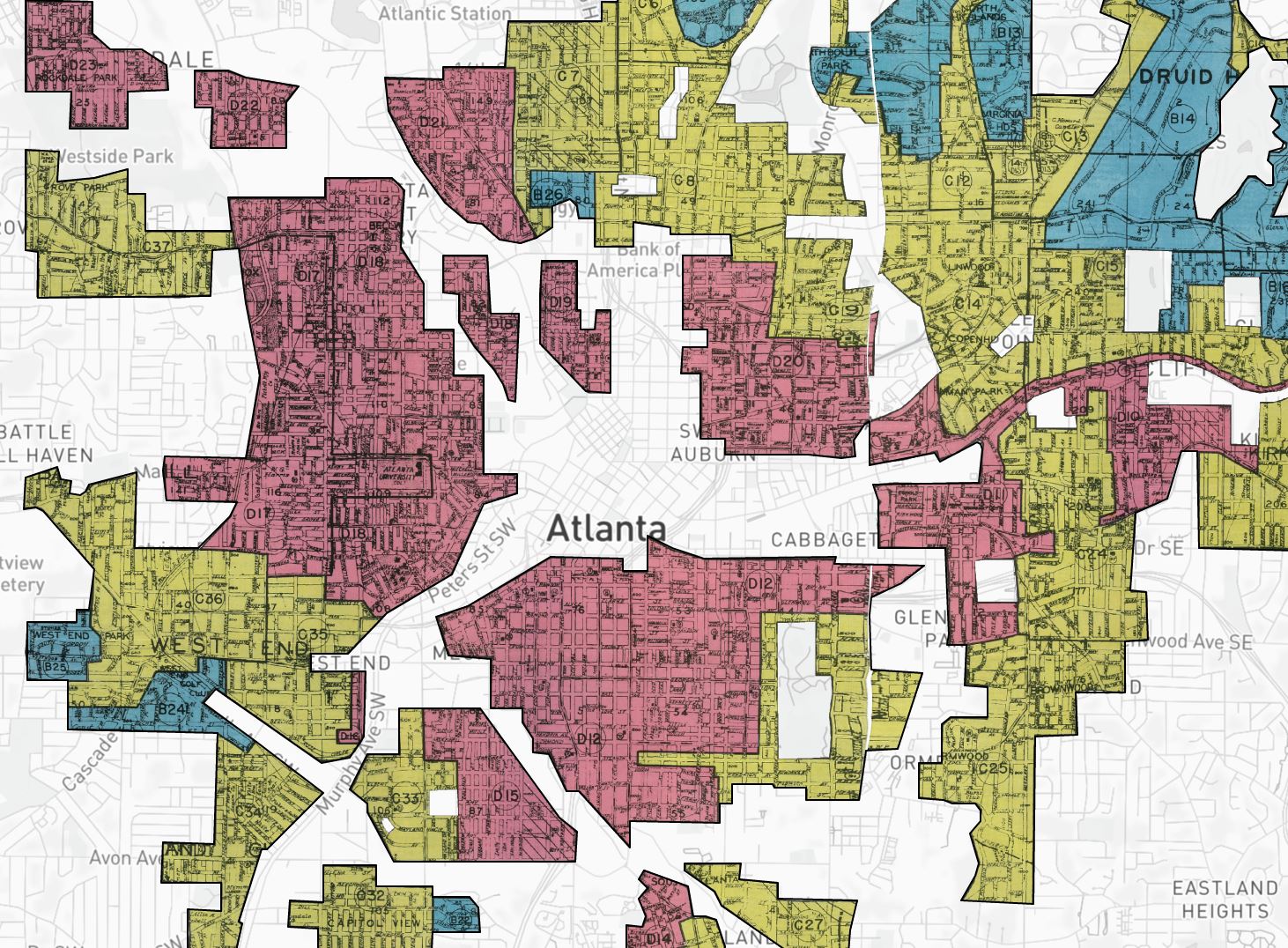
Mapping Inequality: Redlining in New Deal America Tool Review Between 1935 and 1940, in the midst of the Great Depression recovery, the Home Owner’s Loan Corporation (HOLC) used data from local real estate appraisers, developers, and lenders to assign housing “grades” to residential neighborhoods across the U.S. in an effort to show a particular neighborhood’s …

A cow

Just Like Big Oil, Big Meat Is Trying to Squash Climate Action

We already know that Big Oil spends millions to lobby against climate policy each year, but what about Big Meat? According to a new study by New York University, beef and dairy companies have spent millions of dollars lobbying against good climate policy, specifically trying to blur the connection between animal agriculture and greenhouse gas …

homeless encampments in Seattle

Clearing Tent Cities Has Become Costly

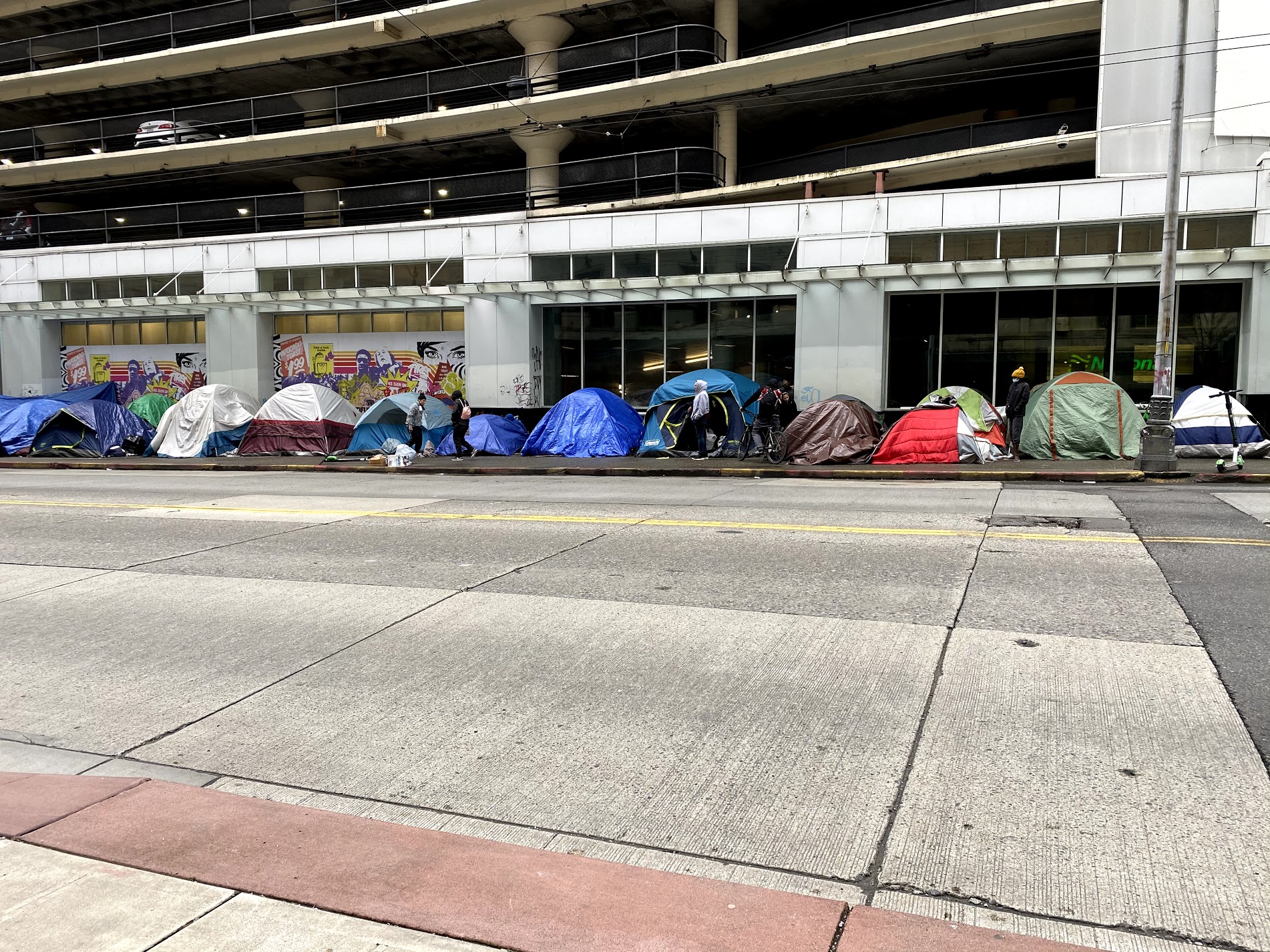
A recent study of homeless encampments found that removing tent cities can cost millions of dollars — only to shuffle homeless individuals from one encampment to another. According to the article The High Cost of Clearing Tent Cities by Kriston Capps, the process of removing tent cities has become increasingly expensive and has turned into …

Extreme drought in a cornfield

Top 10 Federal Climate Change Organizations With Funding Opportunities

Climate change organizations are out there, but they may look different than you think. That’s because most organizations don’t have the words “climate change” attached to them. This is especially true in our federal government, where funding opportunities are often absent the ‘buzzworthy’ label. But the truth of the matter is that many organizations do …

Mississippi River Flood Control as the Bonnet Carre Spillway opens in 2019

Mississippi River Flood Control Is Creating An Environmental Disaster

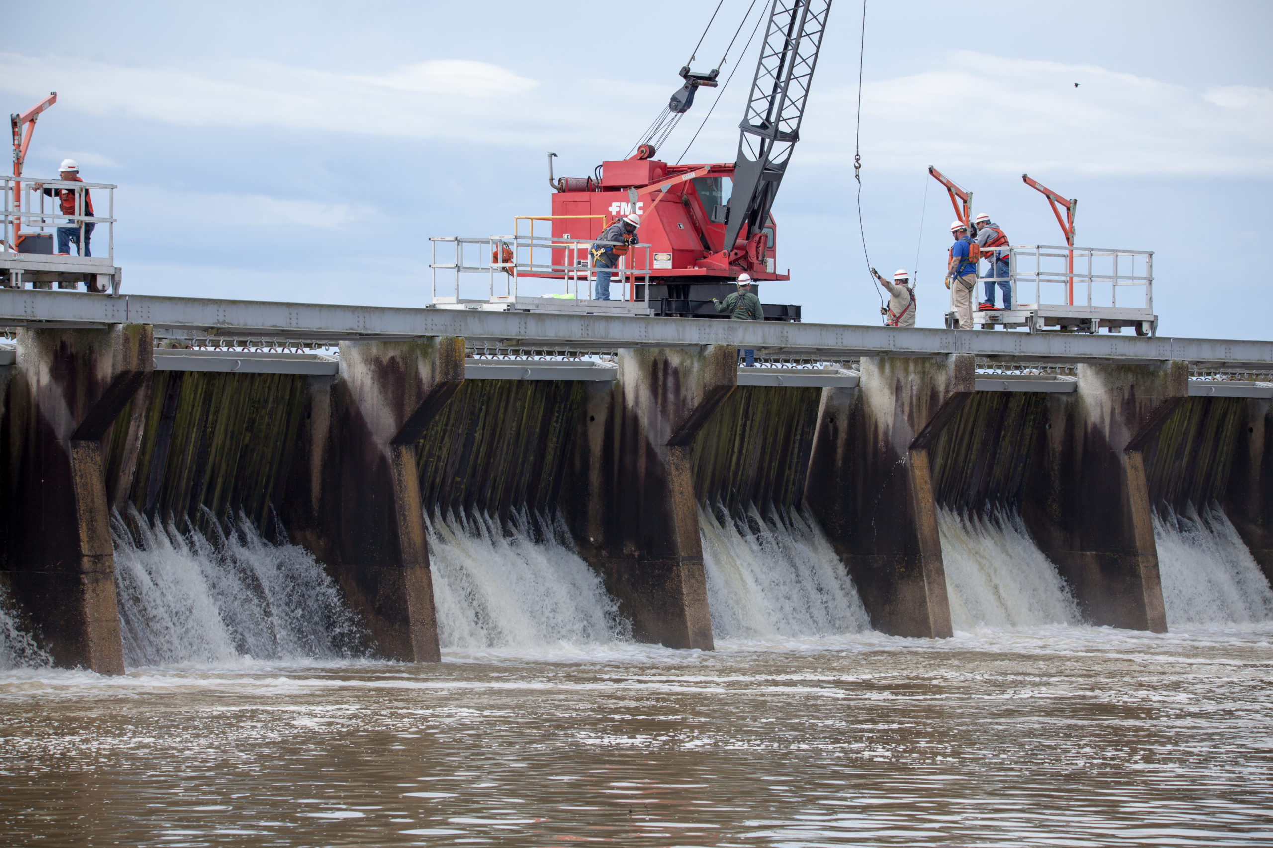
The Mississippi River is a beast! Stretching an incredible 2,350 miles, it navigates through 10 states and 29 “Mississippi River flood control systems” to discharge some 593,000 cubic feet of water per second into the Gulf of Mexico. No big deal right? Wrong. Not only is the Mississippi River the fourth largest river in the …

Native Village of Napakiak Woman

Native Village Of Napakiak Creates A Managed Retreat Plan

The Native Village of Napakiak has created a Managed Retreat Plan to relocate it’s 344 residents away from riverine erosion. Located along the north bank of the Kuskokwim River in Alaska, the community has been losing land for decades — sometimes having to use trailers and other heavy equipment to pull erosion-threatened buildings and structures …

poverty in america

Neighborhood Poverty In America: Using The Opportunity Atlas

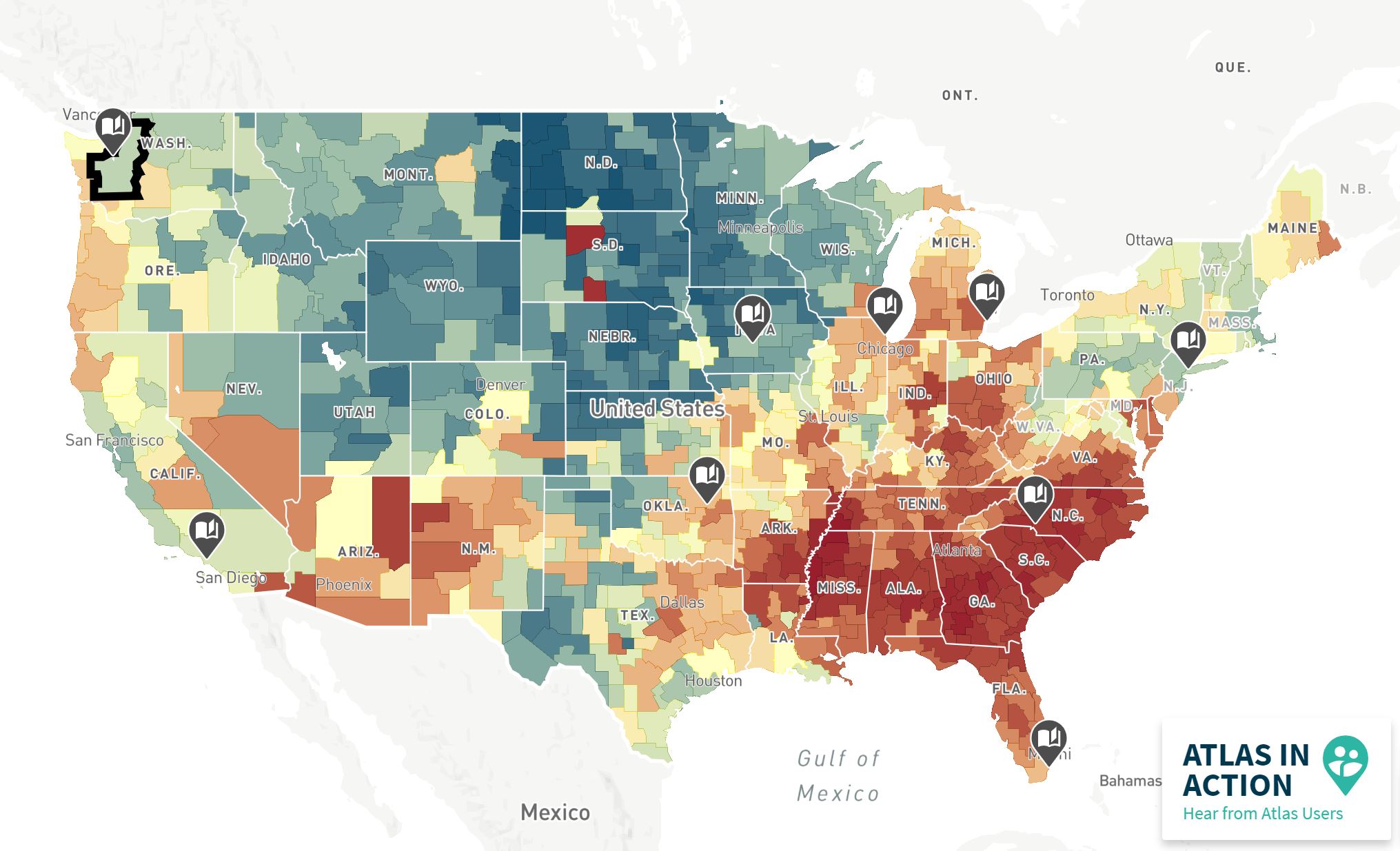
Neighborhood poverty in America may be difficult to pinpoint, but it’s certainly not impossible. The Opportunity Atlas, created by the U.S. Census Bureau and Opportunity Insights, is an interactive map that successfully identifies which neighborhoods provide children the best chance of rising out of poverty. Using anonymous data and following 20 million Americans from their …

nyc tree map

Check Out This Interactive New York City Street Trees Map

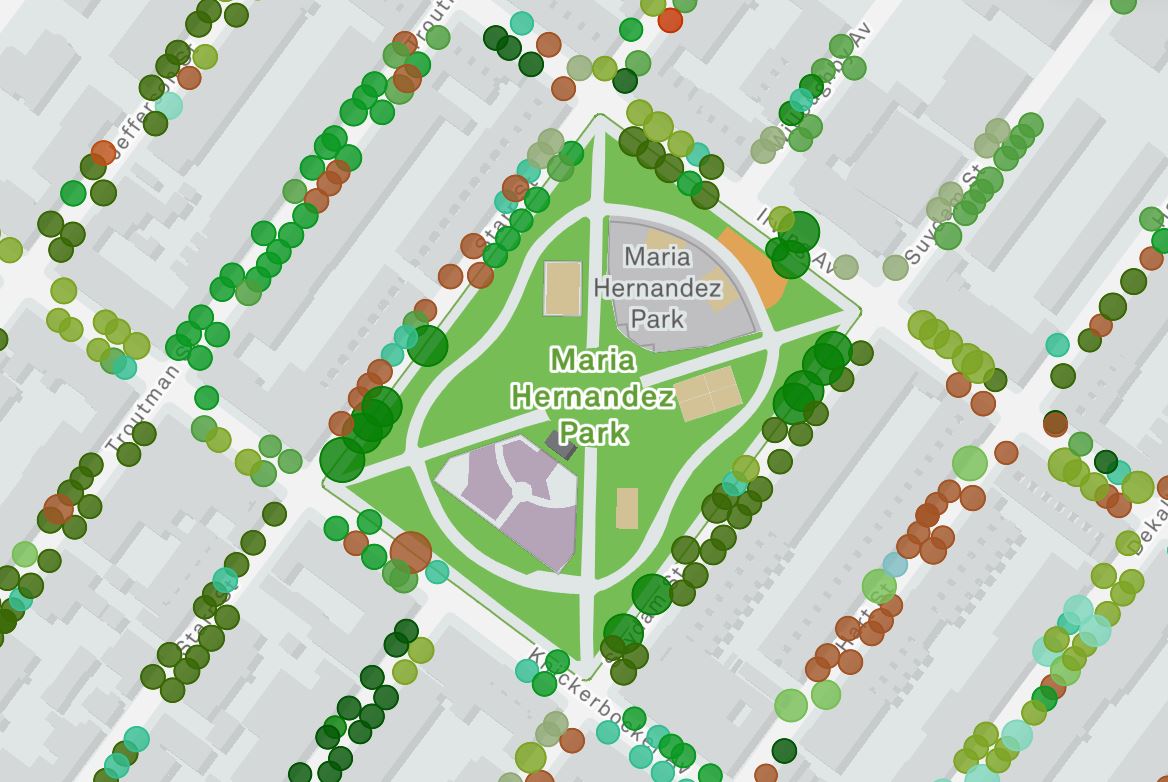
New York City may have lost a lot of trees since its early founding, but there’s signs of hope in the Big Apple with the new “New York City Street Trees Mapper.” The city’s latest tree census includes, “the world’s most accurate and detailed map of a city’s street trees,” and it’s ushering in a …