- All
- COVID-19
- Crime
- Demographic
- Economic
- Emergency Management
- Environment
- Financial
- Health
- Housing
- Military
- Political
- Religion
- Social Justice
- Transportation
- Land
- Climate Change
- Hazards
- Nature
- Ocean and Water
- Wildlife
- Calculators
- Media
- Shuffle
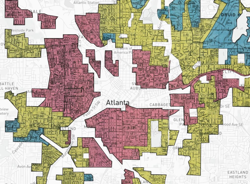
Mapping Inequality: Redlining in New Deal America
See redlining grades from the Home Owners' Loan Corporation (HOLC) between 1935 and 1940. Tool by the University of Richmond.
Use Tool Housing, Social Justice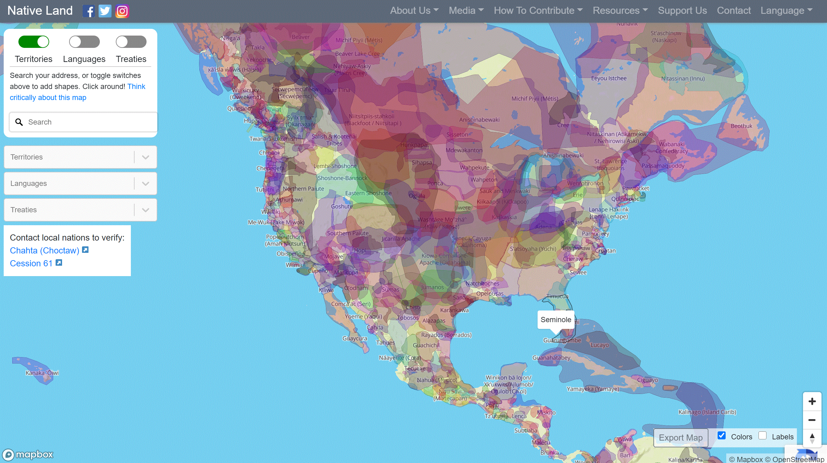
Native Land Map
Use this tool to interact with Indigenous land. Explore territories, languages, and treaties. Tool by Native Land Digital.
Use Tool Demographic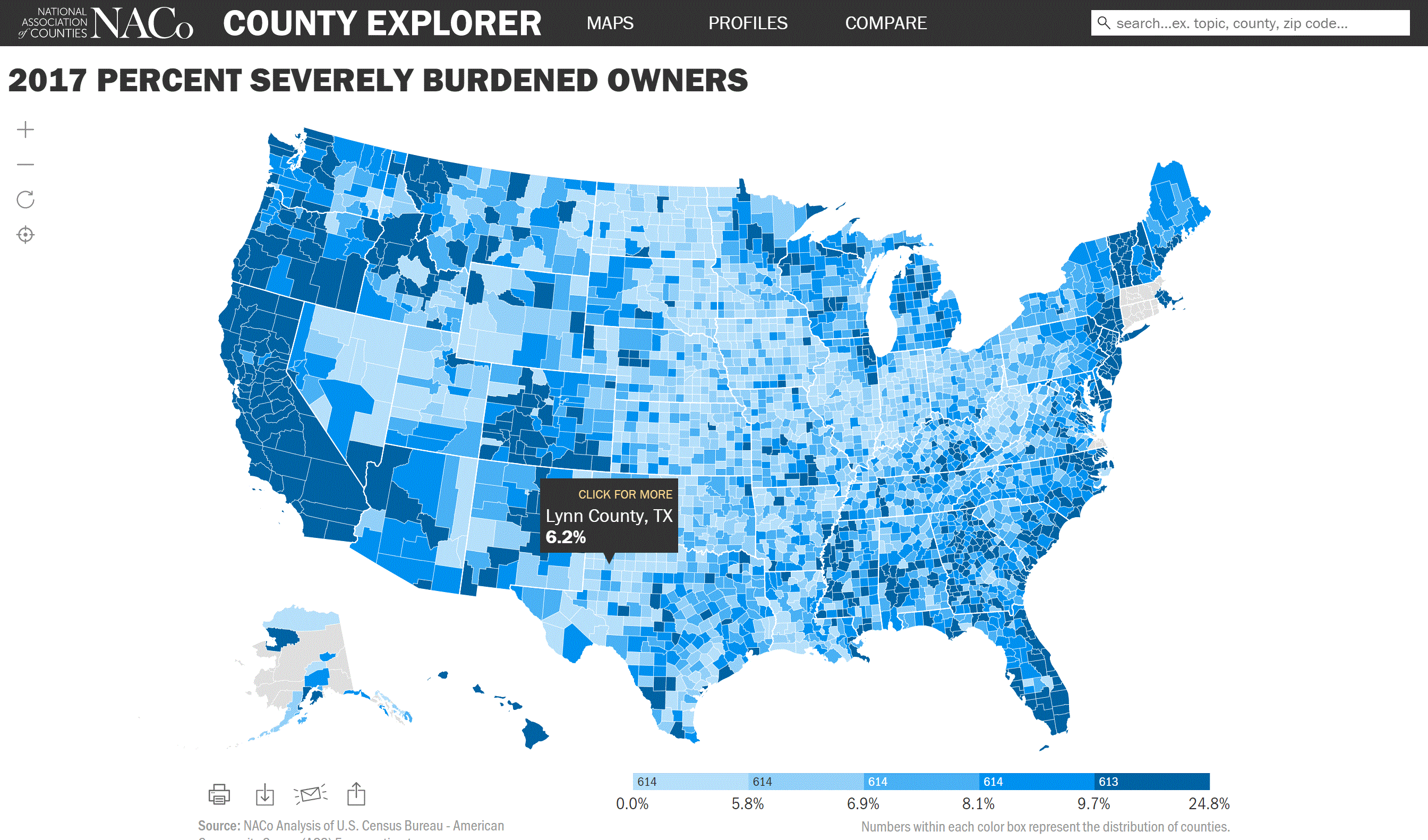
NACo County Explorer
Use this tool to explore topics such as education, economy, demographics, healthcare, and public safety at the county level. Tool by NACo.
Use Tool Demographic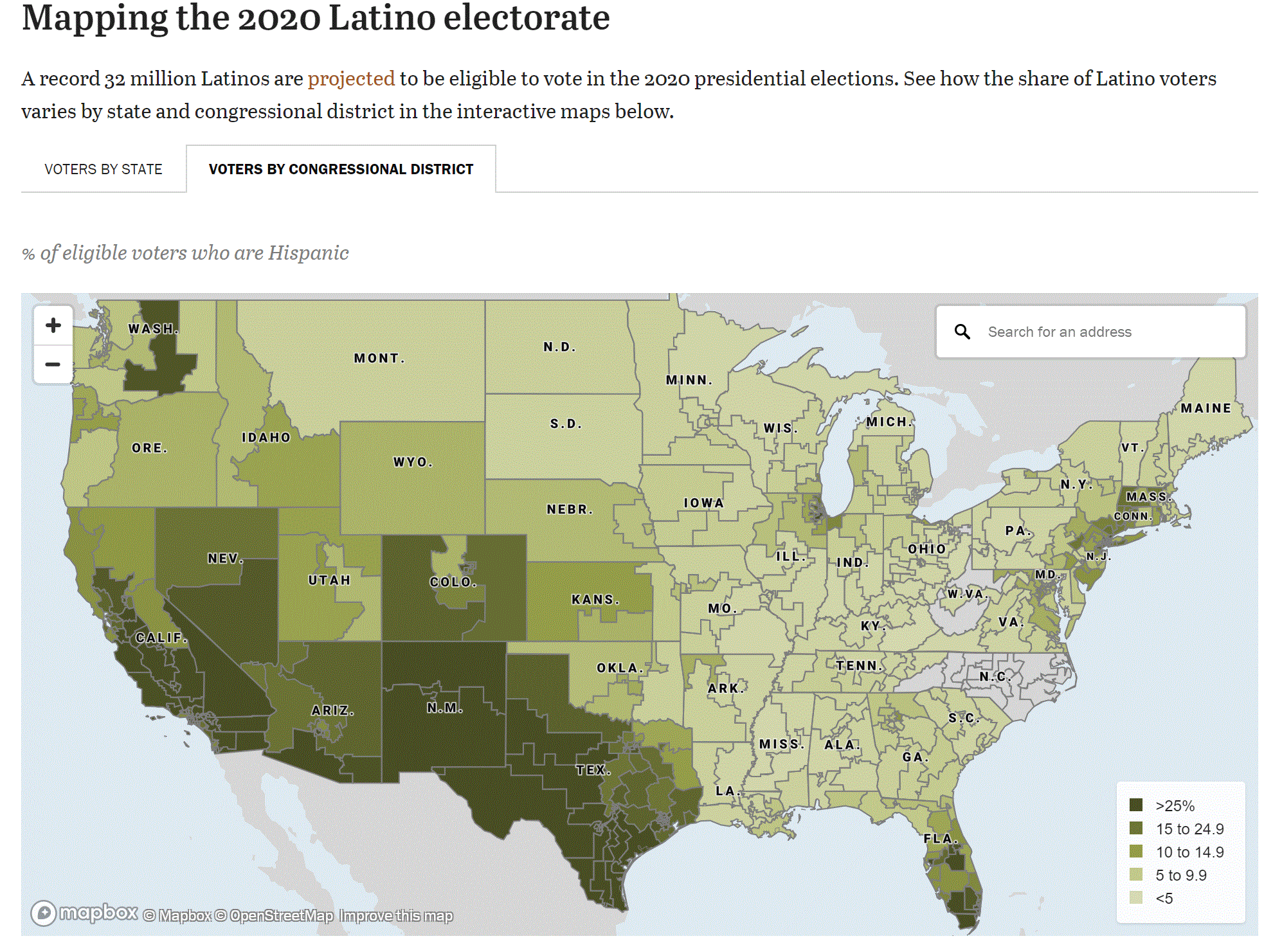
Mapping the Latino Electorate
Explore the share of Latino voters at the state and congressional level. Tool by Pew Research Center.
Use Tool Political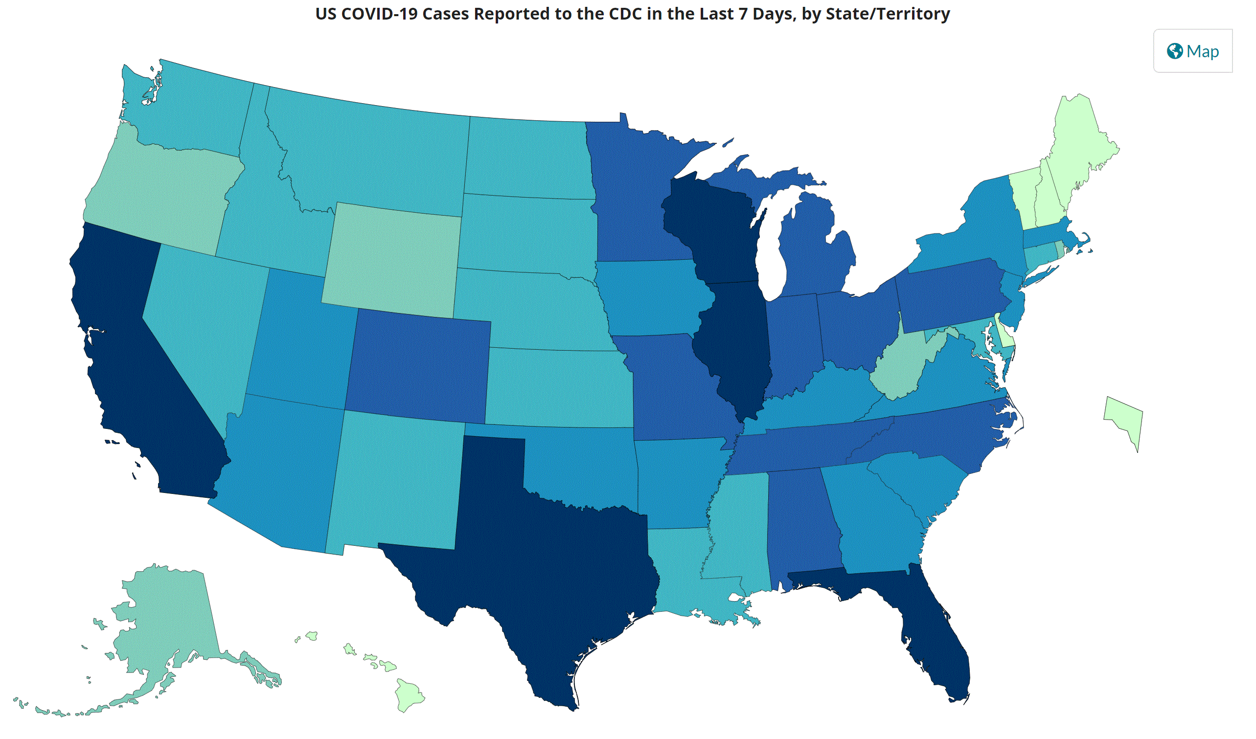
CDC COVID Data Tracker
COVID- 19 Tracking from the main source. Tool by the Center for Disease Control.
Use Tool COVID-19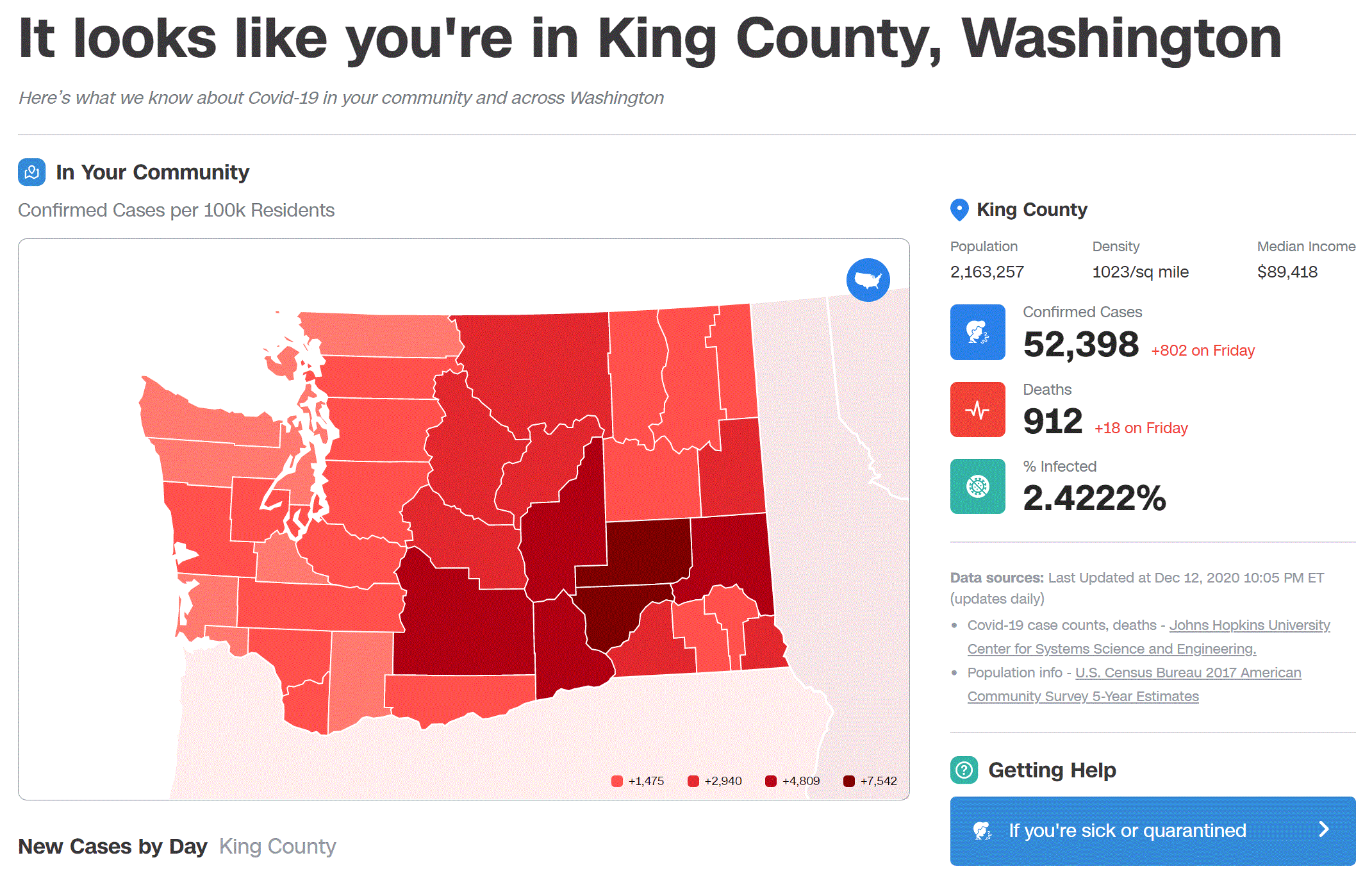
CNN 411 Coronavirus Resource
Enter your zip code to see COVID information for your area. Tool by CNN.
Use Tool COVID-19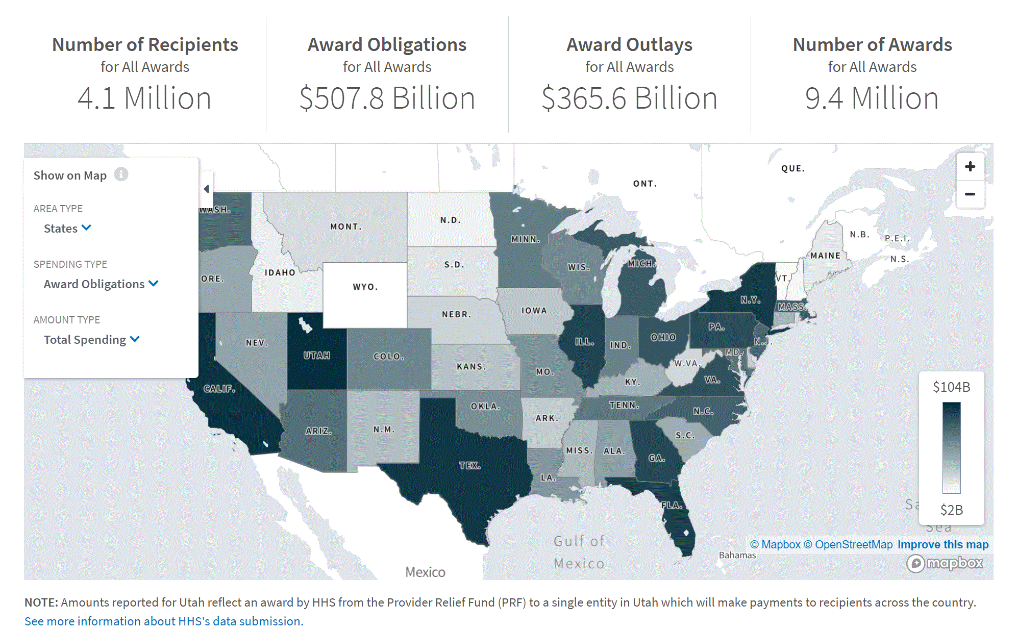
COVID-19 Spending Data
See who received COVID money, who spent COVID money, and what programs were funded through the Coronavirus Aid, Relief, and Economic Security (CARES) Act and other supplemental legislation. Tool by USAspending.gov.
Use Tool COVID-19, Economic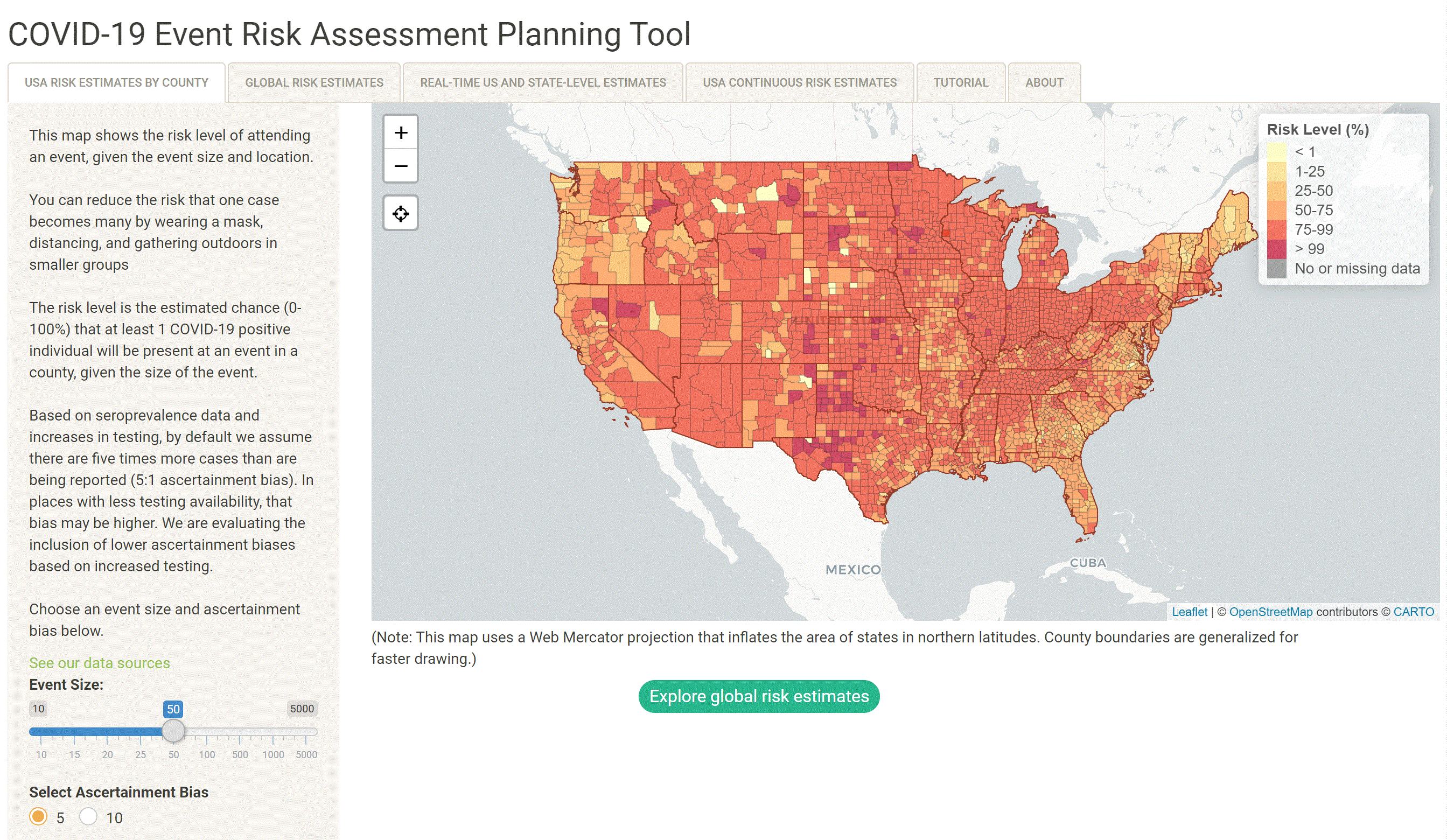
COVID-19 Event Risk Assessment Planning Tool
See the risk of attending an event in your area. Tool by Georgia Institute of Technology.
Use Tool COVID-19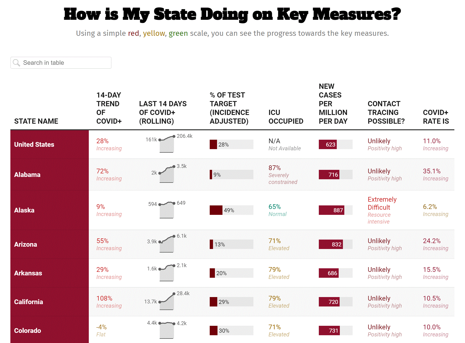
COVID Exit Strategy
Track our COVID response, how your state is measured, how your state is doing on such measures, how the disease is spreading in your state, if your health system can handle the spread, and how your state is doing on testing. Tool by covidexitstrategy.org.
Use Tool COVID-19, Economic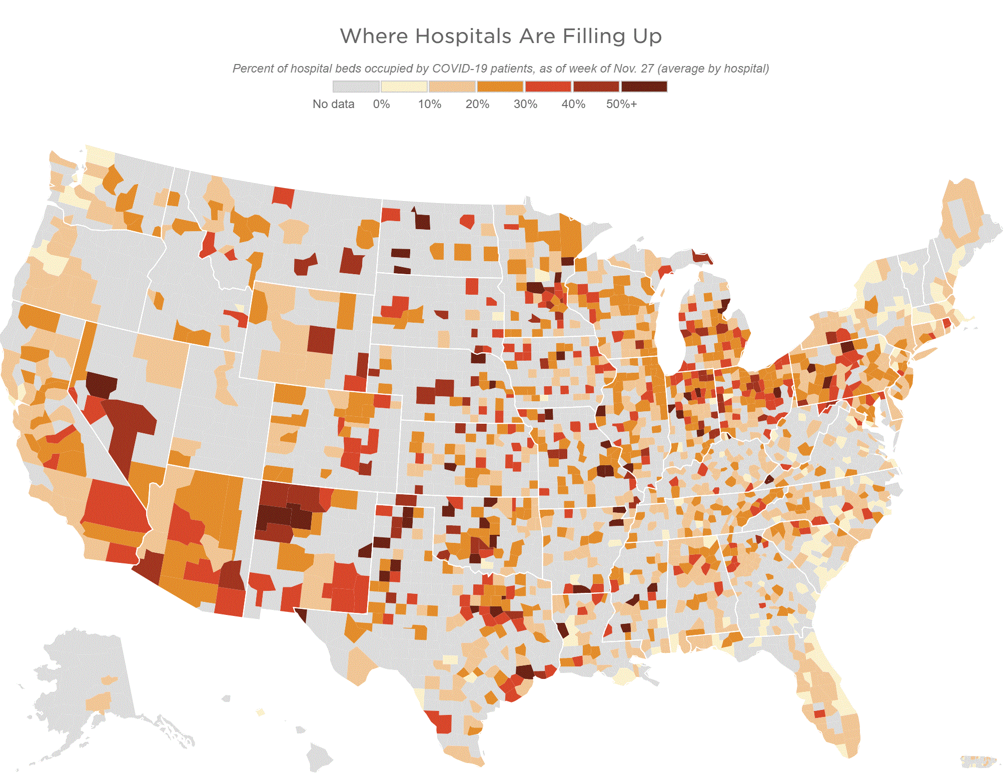
Where Hospitals Are Filling Up
Use this tool to see what percentage of hospitals are occupied by COVID patients. Tool by NPR.
Use Tool COVID-19, Health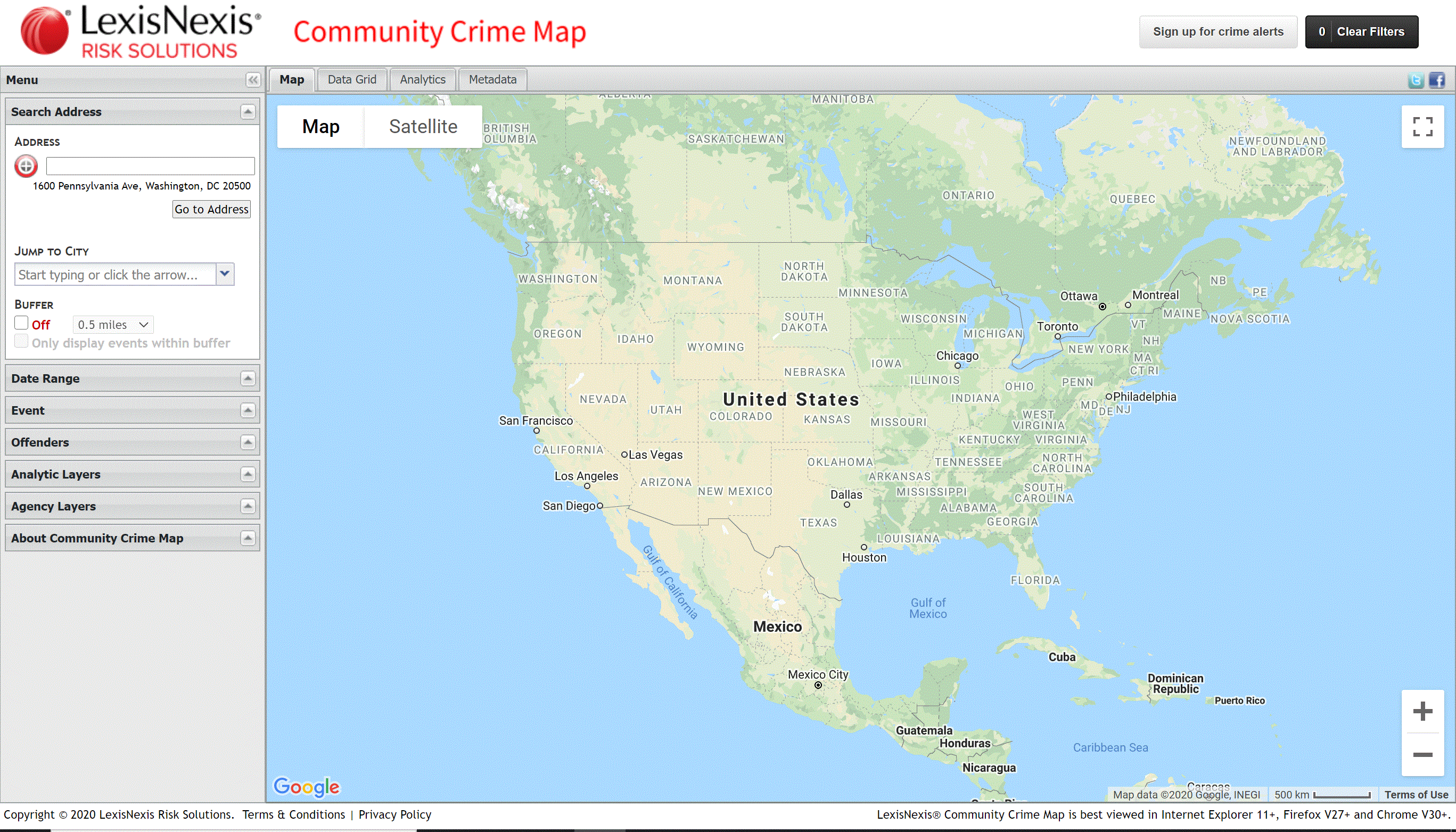
Community Crime Map
Use the tool to explore crime in your community. Tool by LexisNexis.
Use Tool Crime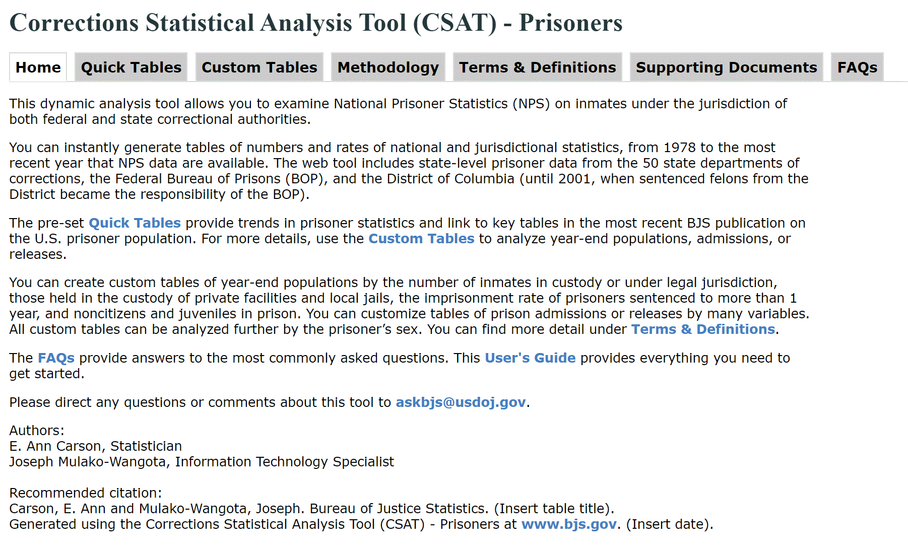
Correctional Statistical Analysis Tool
Interactive tool for State-level prisoner data. Tool by Bureau of Justice Statistics.
Use Tool Crime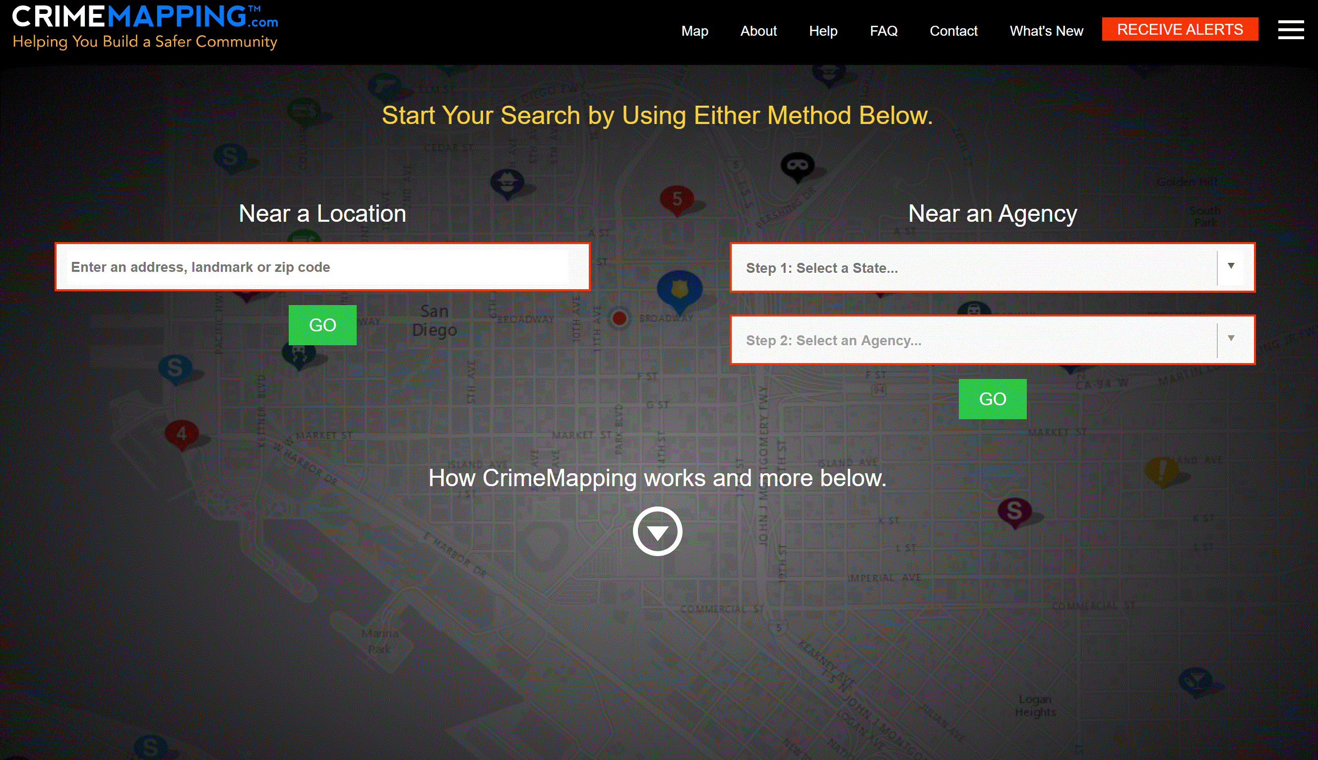
Crime Mapping Community Map
Use the tool to explore crime in your community. Tool by crimemapping.org.
Use Tool Crime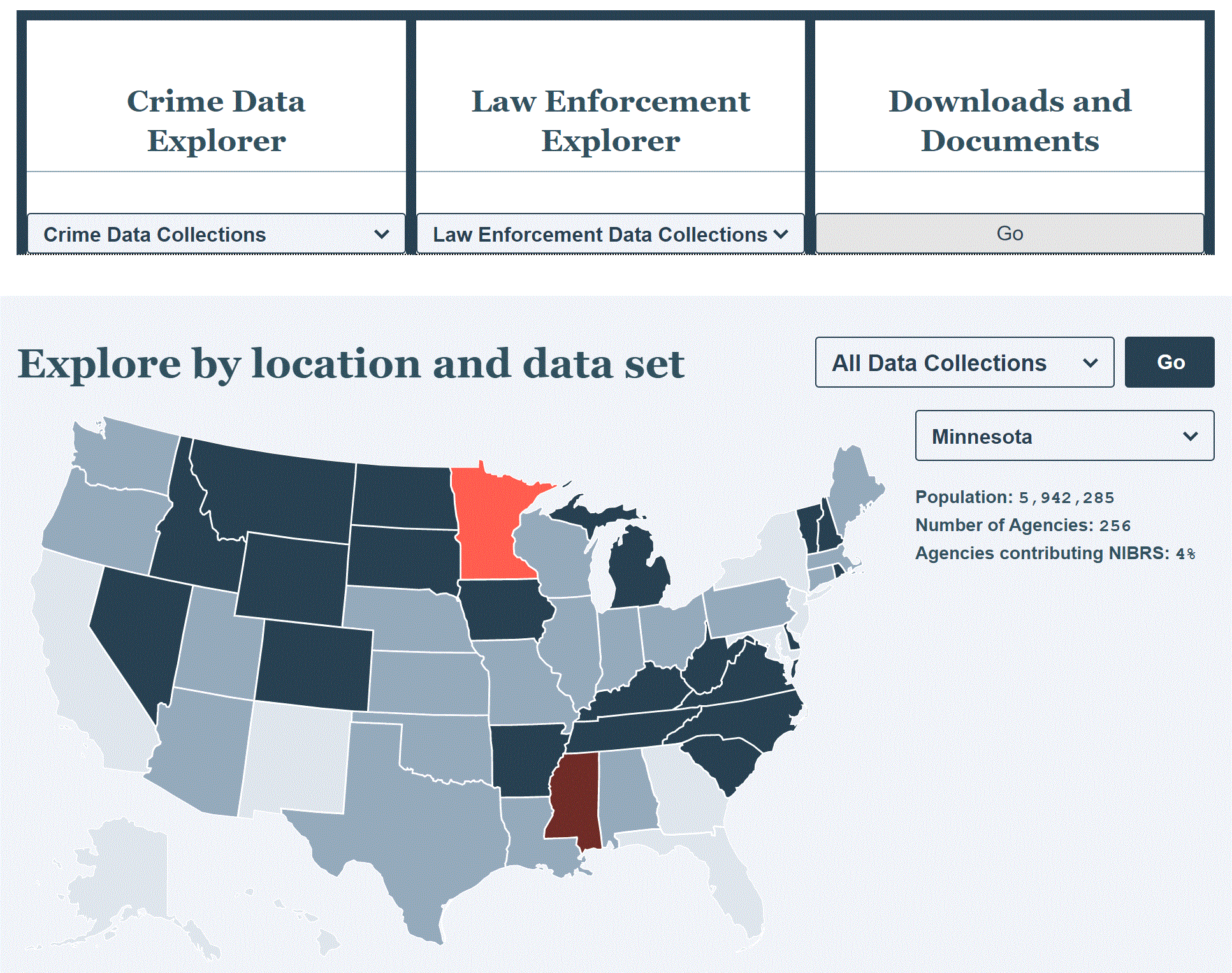
FBI Crime Data Explorer
A reliable crime data tool that lets you explore crime data for the United States. Tool by crimemapping.org.
Use Tool Crime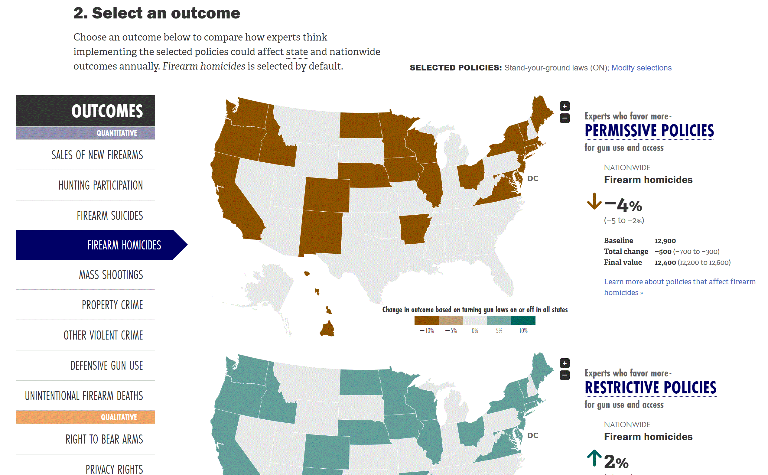
Gun Policy Outcome Explorer
Explore what experts think about the outcome of gun policy. Additionally, use the tool to explore what gun laws are applicable per State. Tool by RAND Corporation.
Use Tool Crime, Social Justice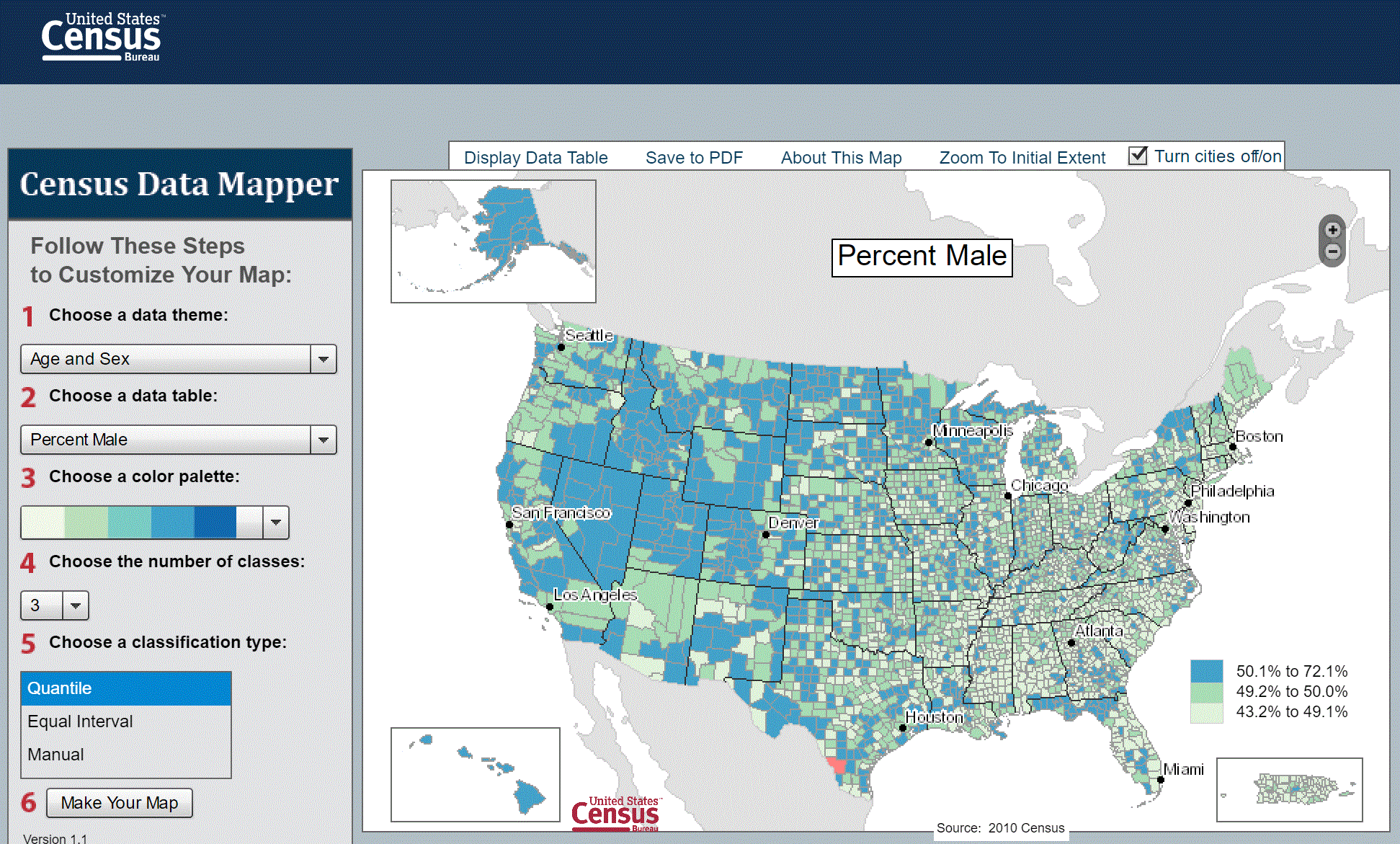
Census Data Mapper
Create your own map using census data. Tool by U.S. Census Bureau.
Use Tool Demographic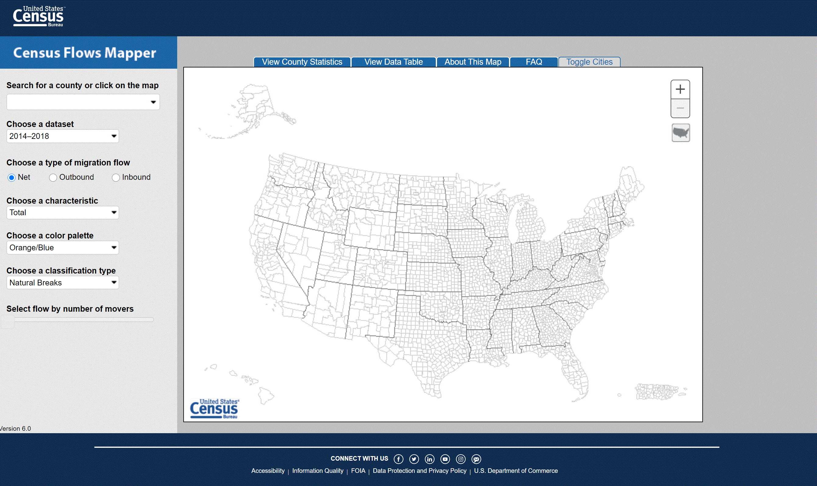
Census Flows Mapper
Explore migration flows within the U.S. for counties using U.S. Census data. Tool by U.S. Census Bureau.
Use Tool Demographic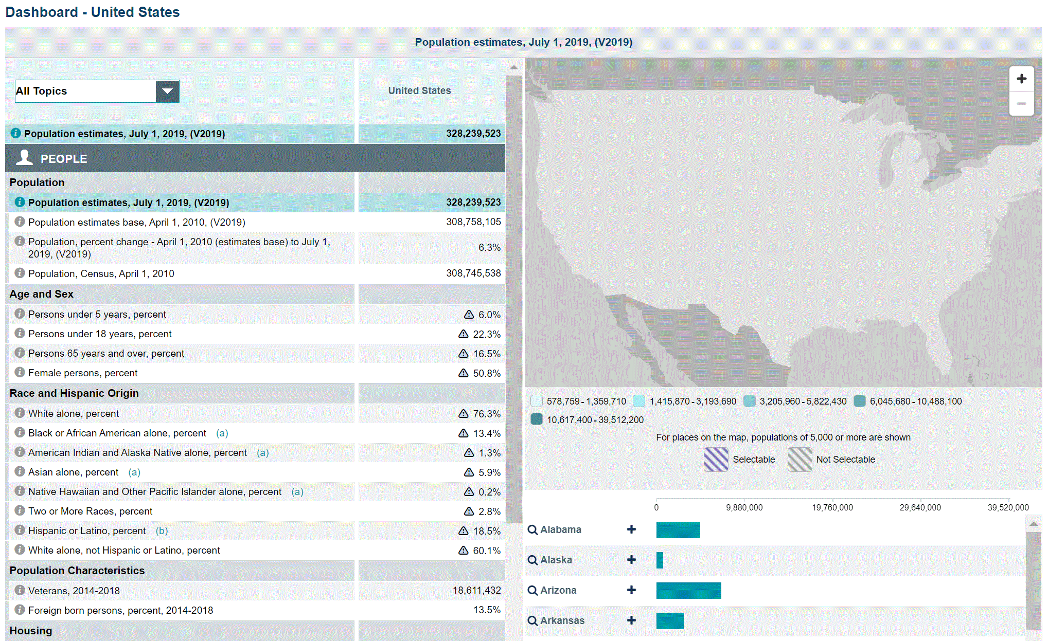
Census Quick Facts
Easily look at census statistics for the U.S. using most recent population estimates. Tool by U.S. Census Bureau.
Use Tool Demographic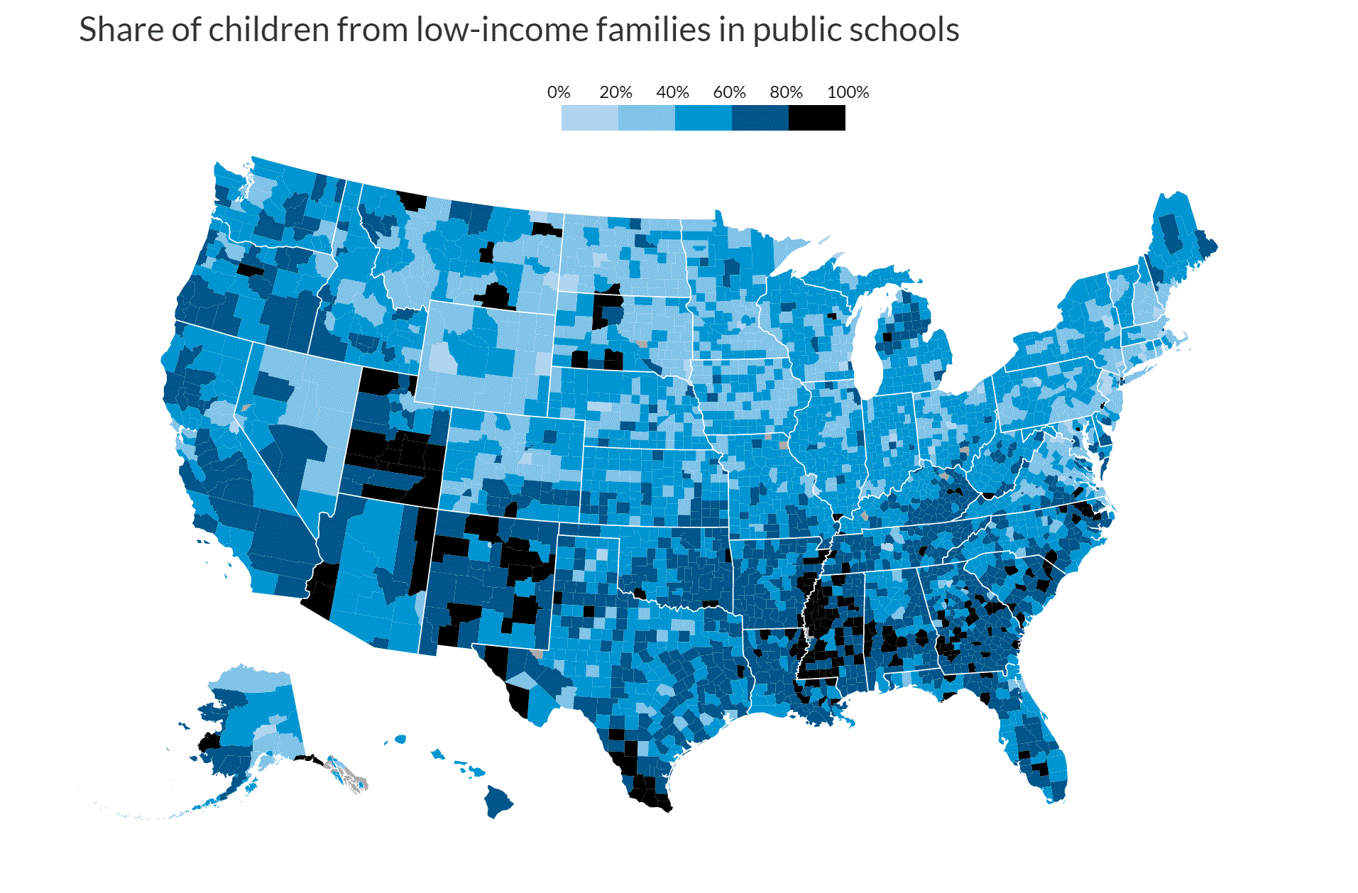
Income and Race Concentrations In Public Schools
Explore the concentration of low-income families in schools within a particular county. Tool by Urban Institute.
Use Tool Demographic, Social Justice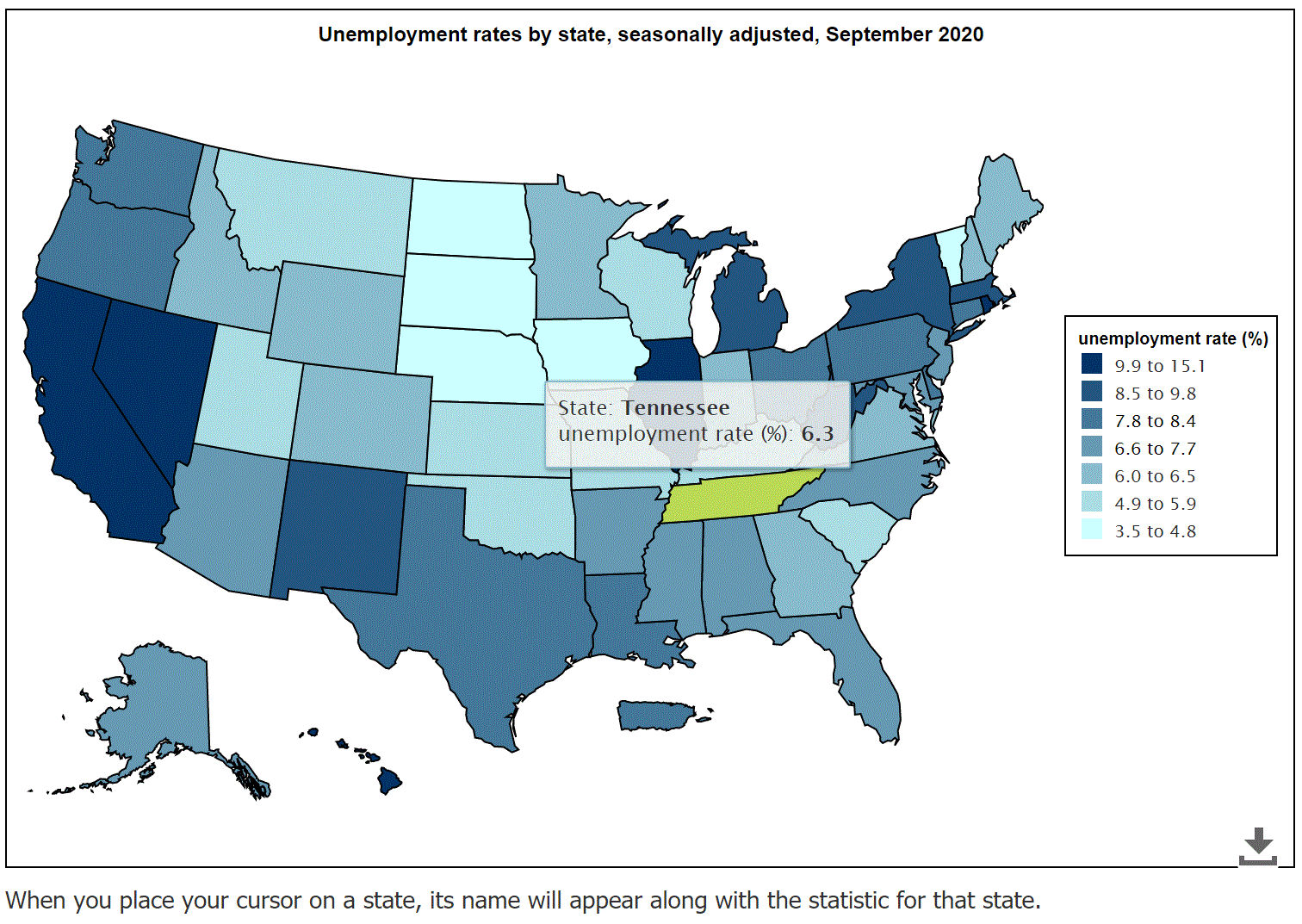
Local Area Unemployment Statistics Map
Find unemployment numbers for States, Counties, and Metro Areas. Tool by U.S. Bureau of Labor Statistics.
Use Tool Demographic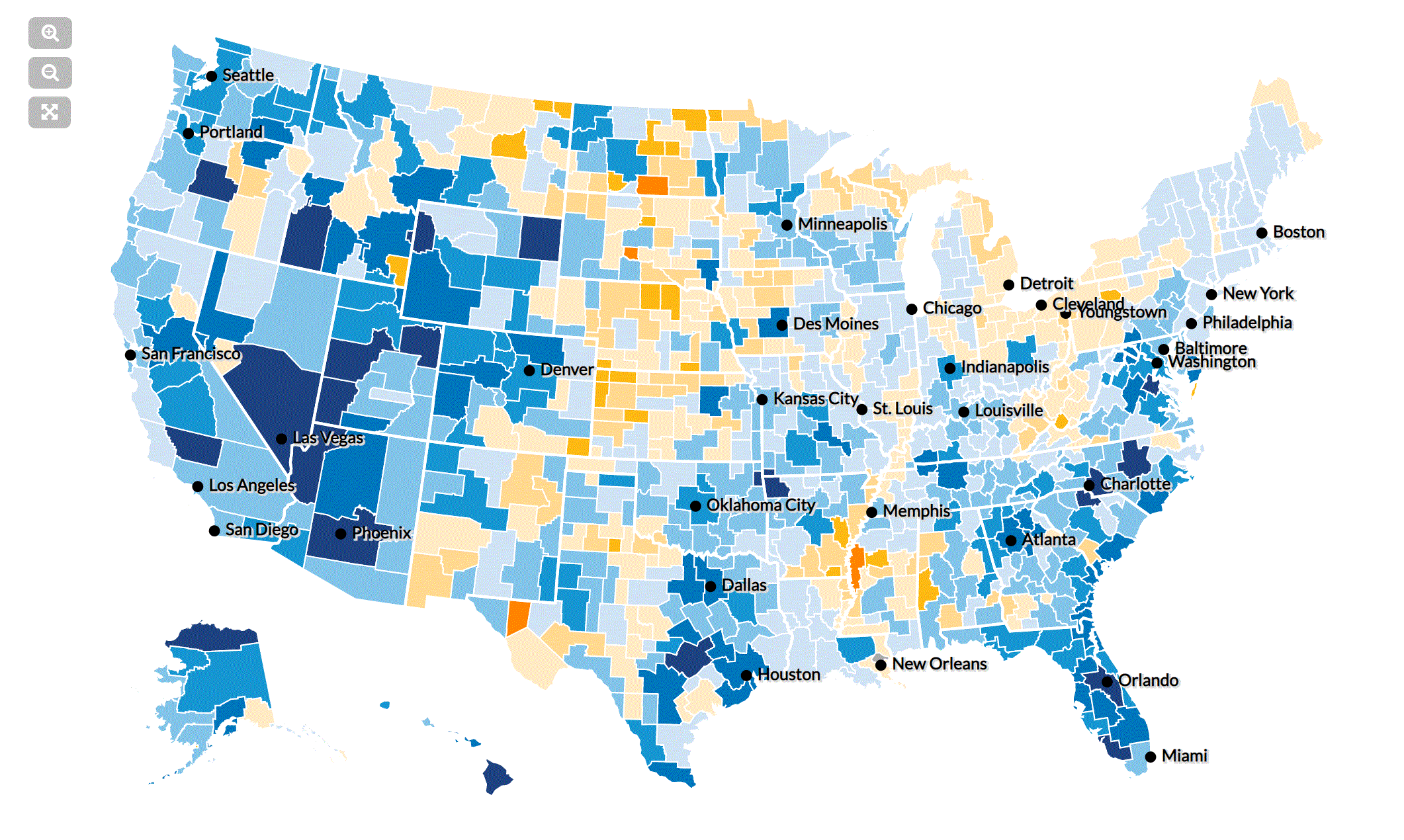
Mapping Americas Future
Use this tool to explore how the U.S. population might change by 2030. Use different scenarios to explore migration, deaths, or births within the U.S. Tool by Urban Institute.
Use Tool Demographic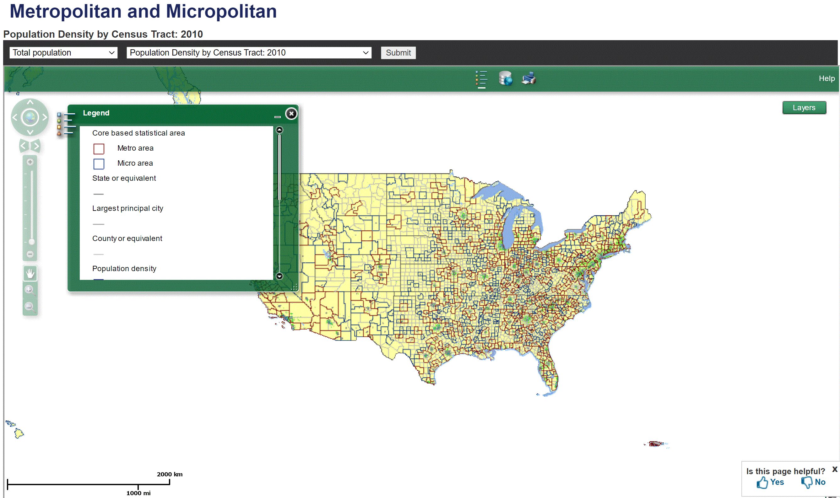
Metro/Micro Thematic Map Viewer
Population Density by Census Tract. Tool by U.S. Census Bureau.
Use Tool Demographic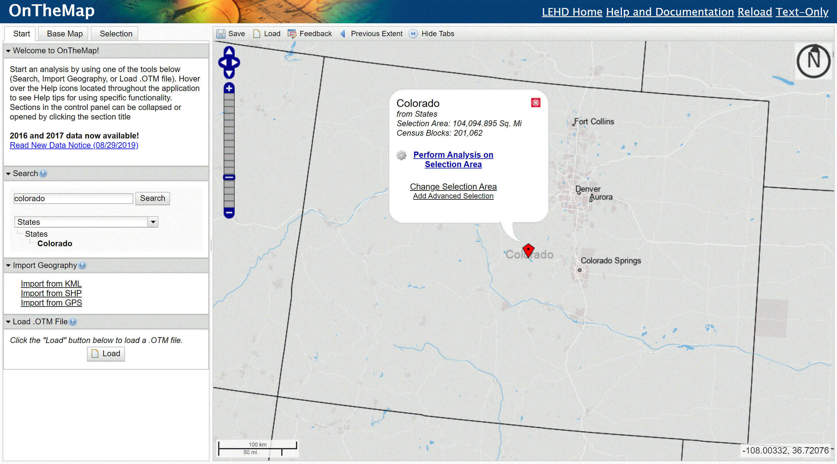
OnTheMap
Explore workforce related maps, data, and profiles. Tool by U.S. Census Bureau.
Use Tool Demographic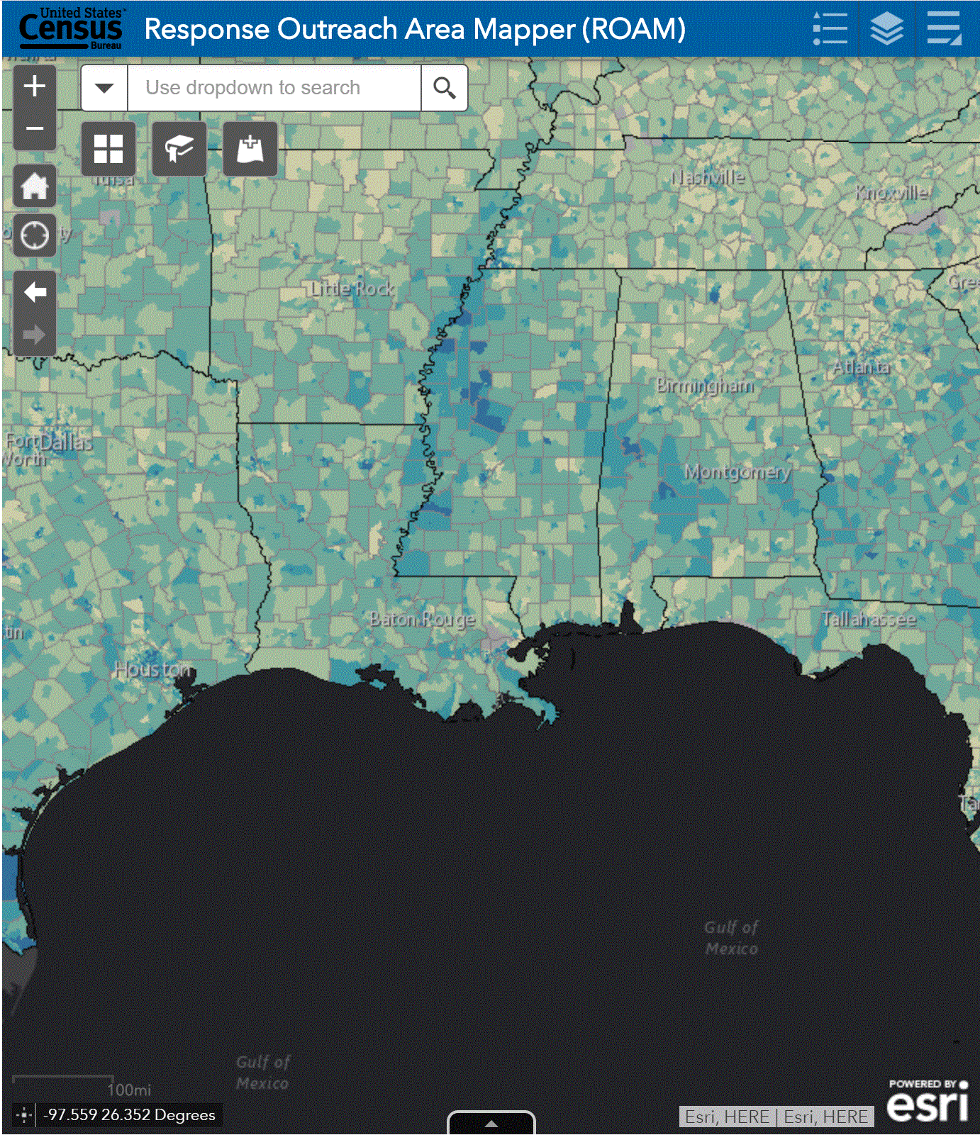
Response Outreach Area Mapper
Use this tool to explore and identify characteristics (demographic, sociodemographic, etc.) in hard-to-reach/survey areas using American Community Survey (ACS) estimates. Tools by U.S. Census Bureau.
Use Tool Demographic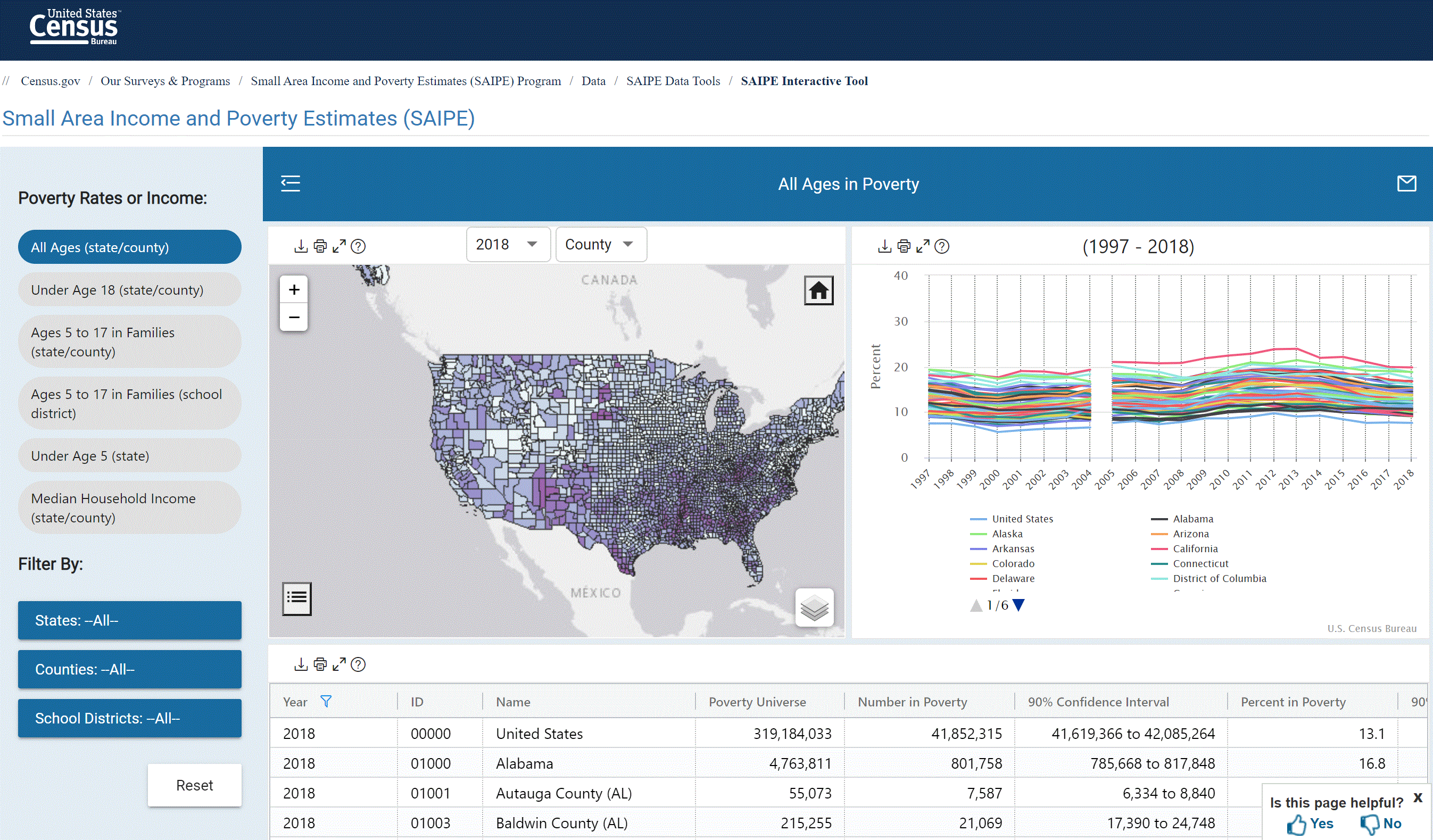
Small Area Income and Poverty Estimates (SAIPE)
Small area income and poverty interactive tool. Tool by U.S. Census Bureau.
Use Tool Demographic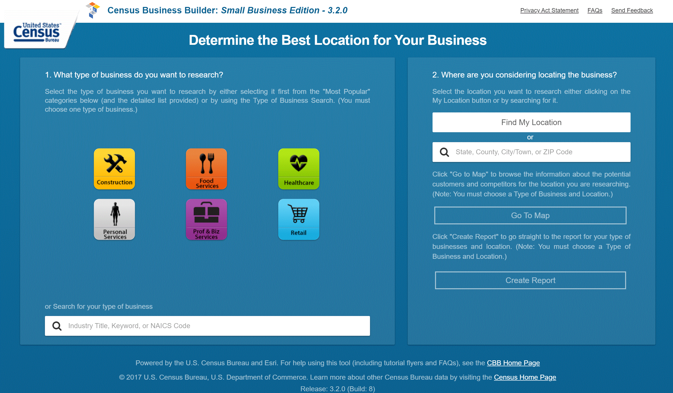
Census Business Builder: Small Business Edition
Use this tool to access economic and demographic data tailored to your business. The Small Business Edition is for small businesses seeking data specific for their business and potential market. Tool by U.S. Census Bureau.
Use Tool Demographic, Economic, Financial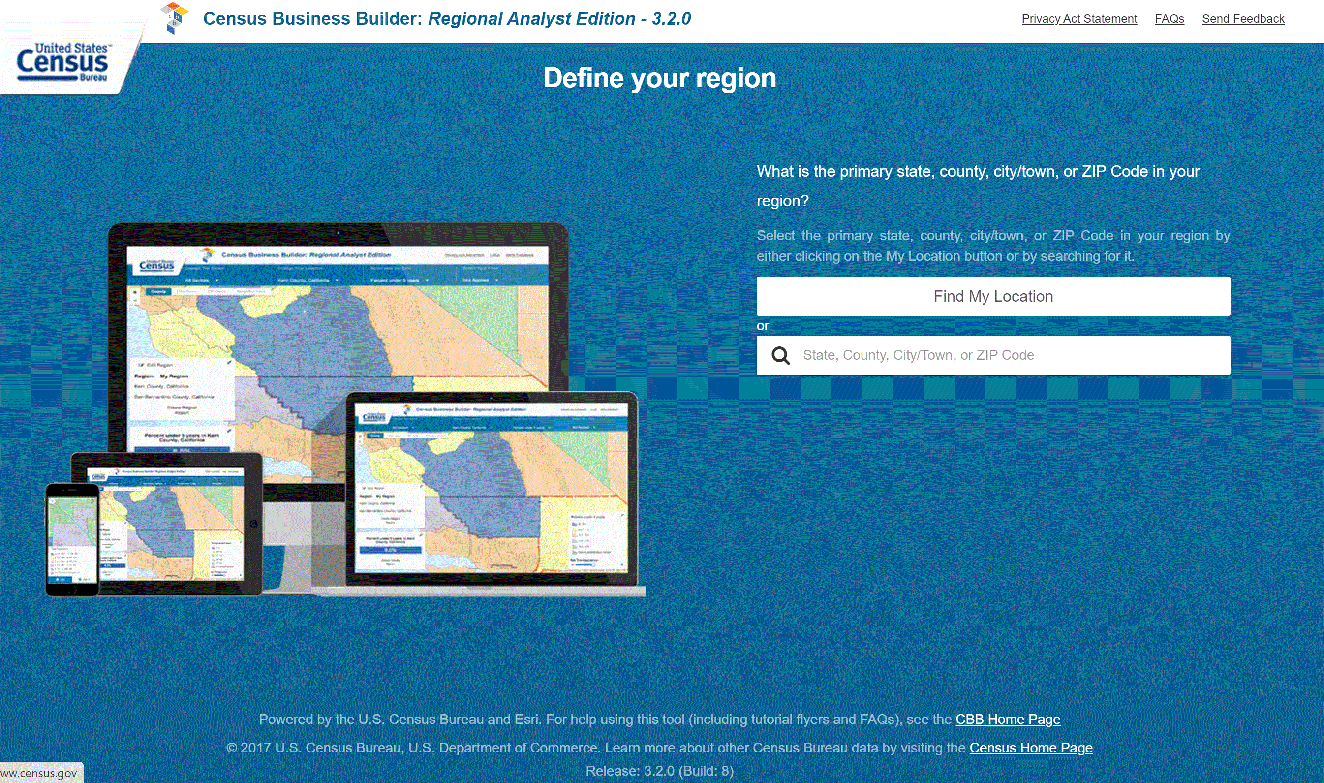
Census Business Builder: Regional Analyst Edition
Use this tool to access economic and demographic data tailored to business. The Regional Analysts Edition is used primarily for planners who need information pertaining to businesses in their planning area. Tool by U.S. Census Bureau
Use Tool Demographic, Economic, Financial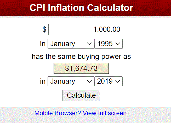
Inflation Calculator
A plug and play Inflation Calculator. Tool by Bureau of Labor Statistics.
Use Tool Economic, Financial, Calculators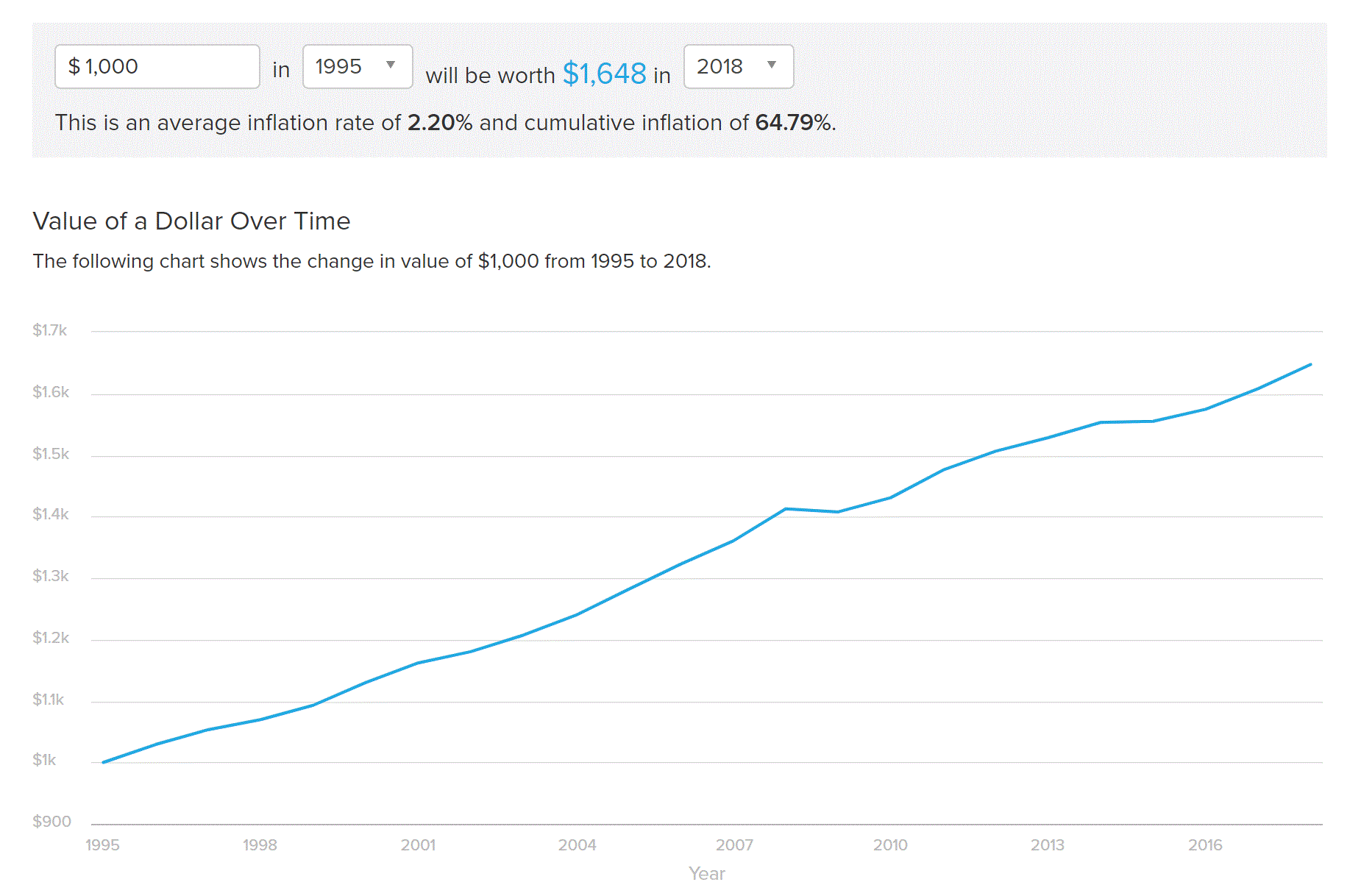
Inflation Calculator
A plug and play Inflation Calculator. Tool by smartasset.com
Use Tool Economic, Financial, Calculators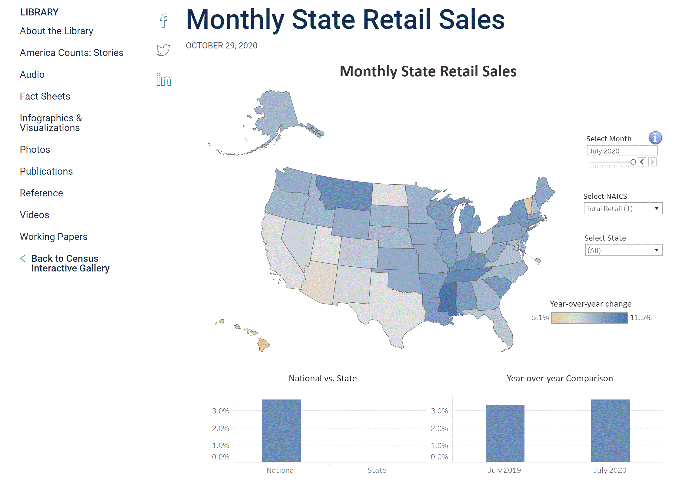
Monthly State Retail Sales
See which States are increasing or decreasing retail sales. Tool by U.S. Census Bureau.
Use Tool Demographic, Economic, Financial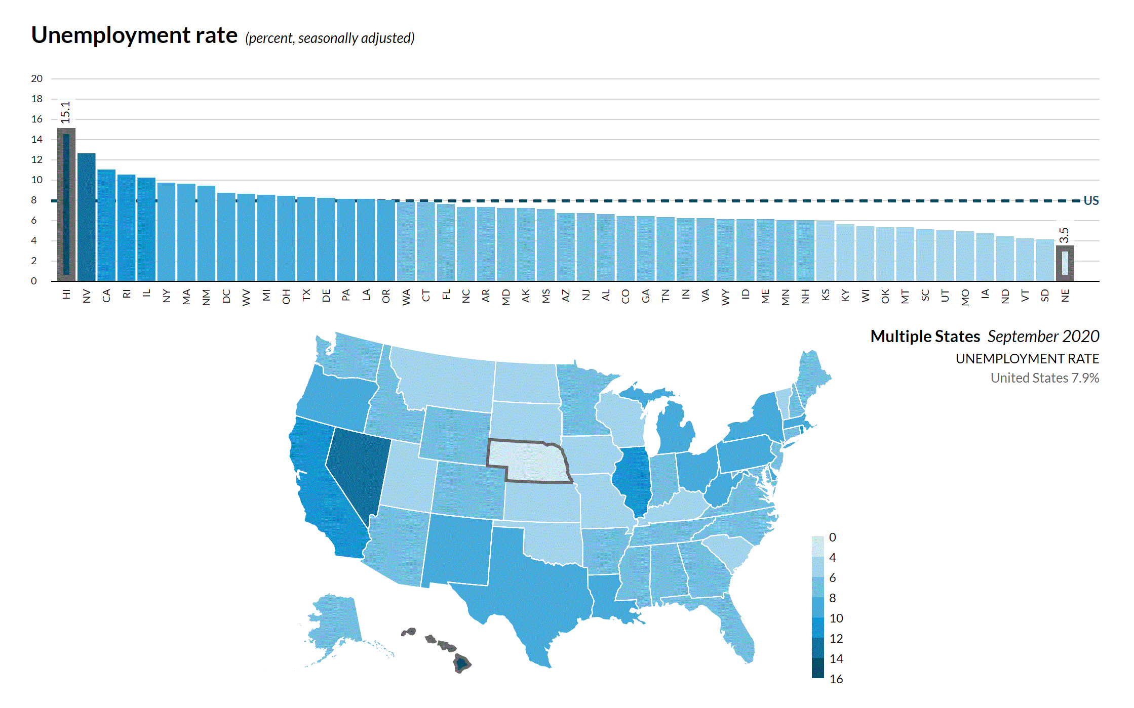
State Economic Monitor
Interactive economic tool that highlights unemployment, earnings, housing, and state GDP. Tool by Urban Institute.
Use Tool Economic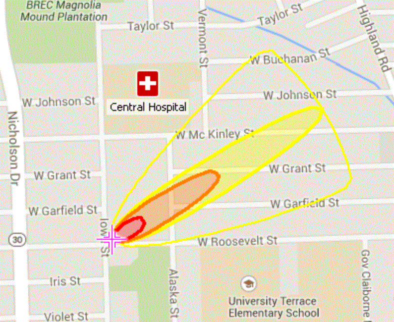
CAMEO
CAMEO (Computer-Aided Management of Emergency Operations) allows users to plan and respond to emergencies, especially chemical emergencies. Tool by EPA and NOAA.
Use Tool Emergency Management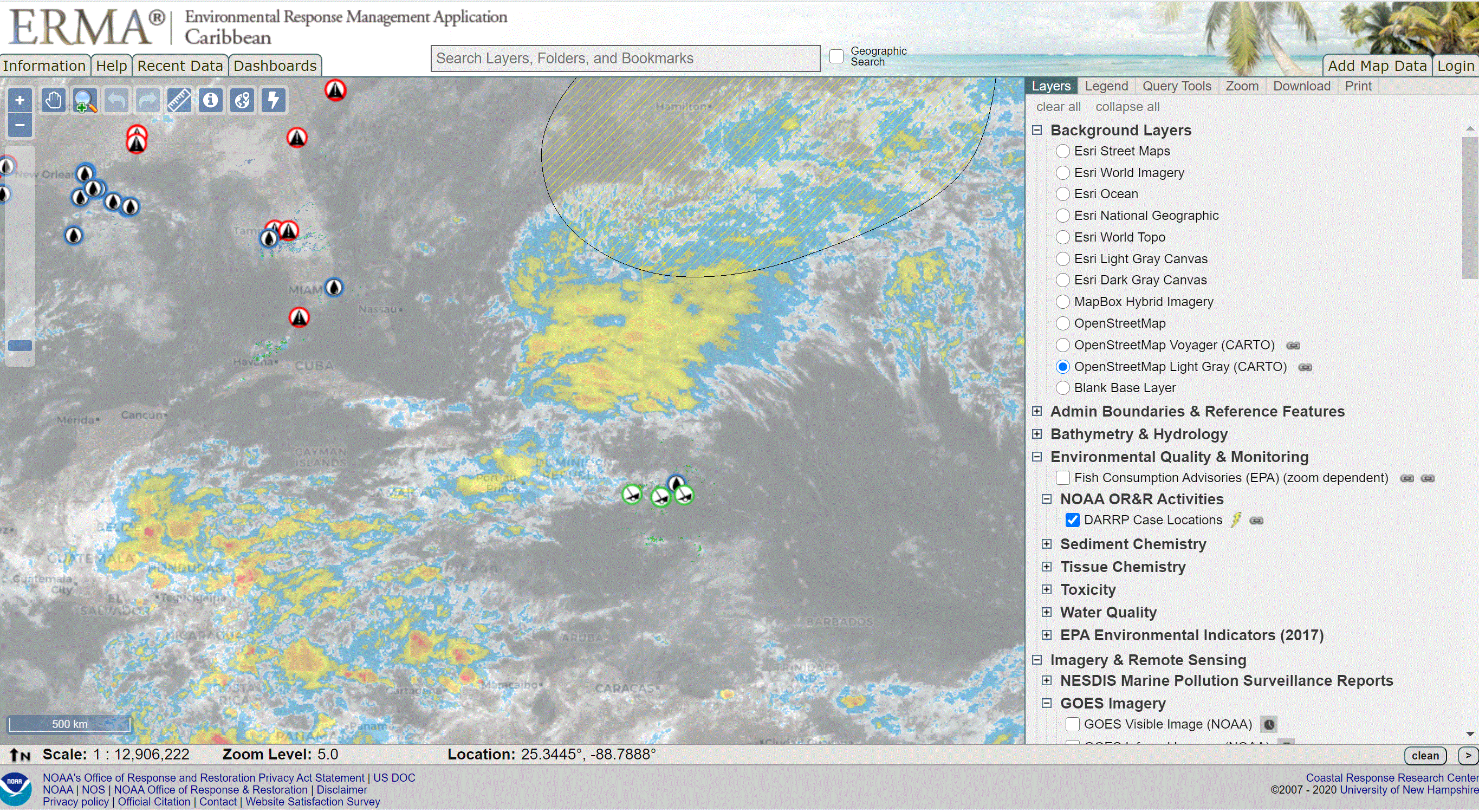
Environmental Response Management Application (ERMA)
An environmental response tool that includes Arctic ERMA, Atlantic ERMA, Caribbean ERMA, Great Lakes ERMA, Gulf of Mexico ERMA, Pacific Islands ERMA, Pacific Northwest ERMA, Southwest ERMA. Tool by NOAA & University of New Hampshire.
Use Tool Emergency Management, Environment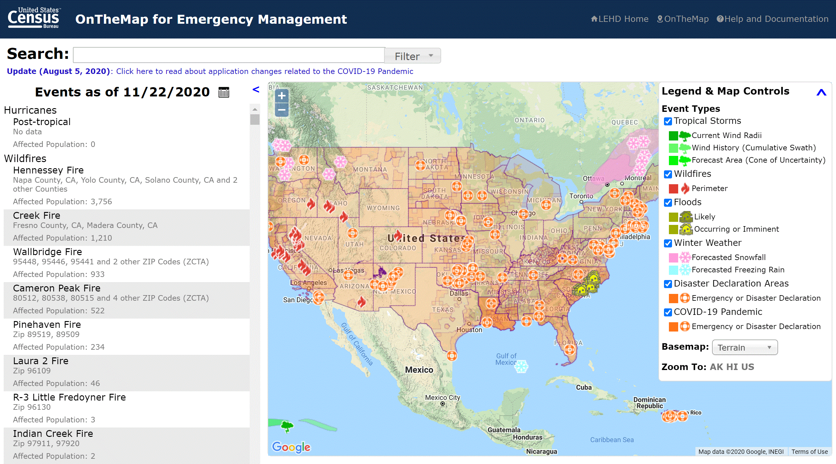
OnTheMap for Emergency Management
Explore U.S. population and workforce statistics affected by real-time natural disasters. Tool by U.S. Census Bureau.
Use Tool Emergency Management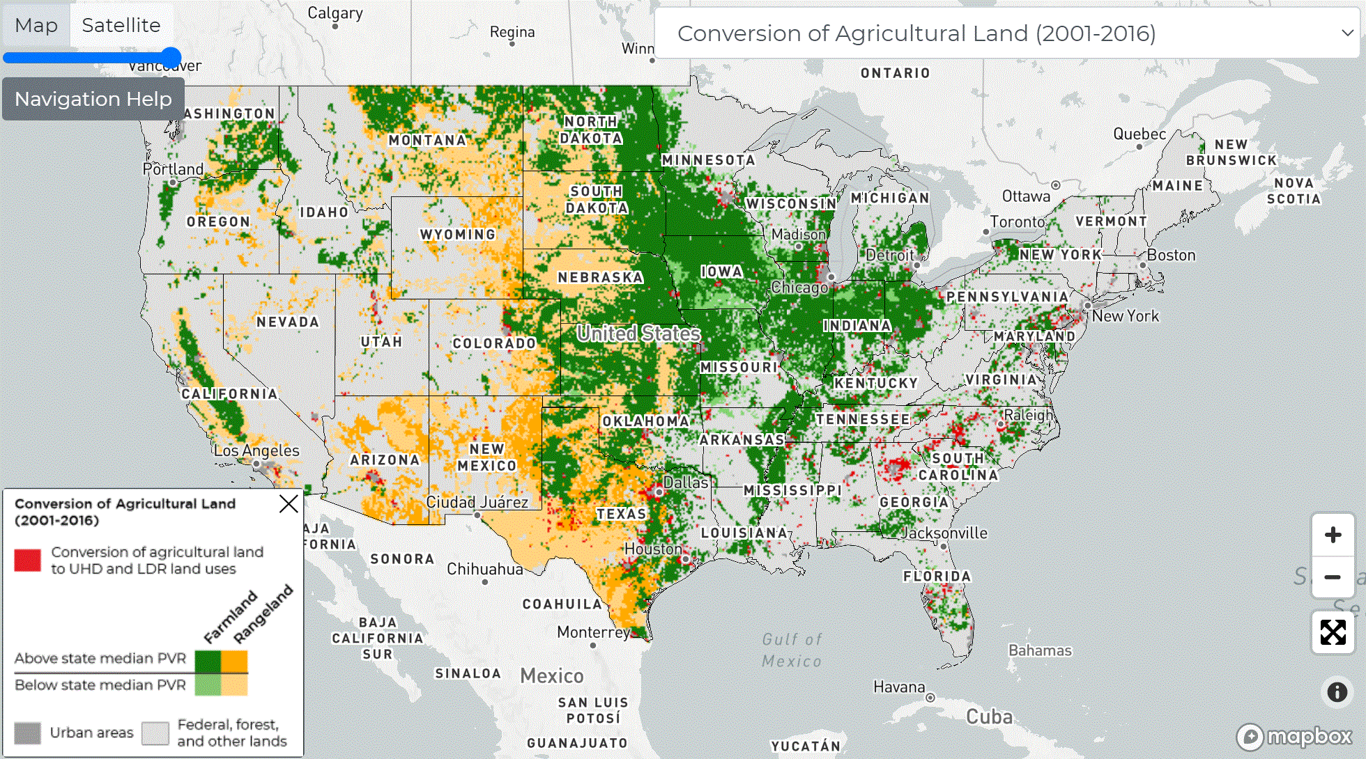
Farms Under Threat
An interactive map that lets you visualize all things agriculture; specifically focuses on development threats on agricultural land. Tool by American Farmland Trust.
Use Tool Environment, Land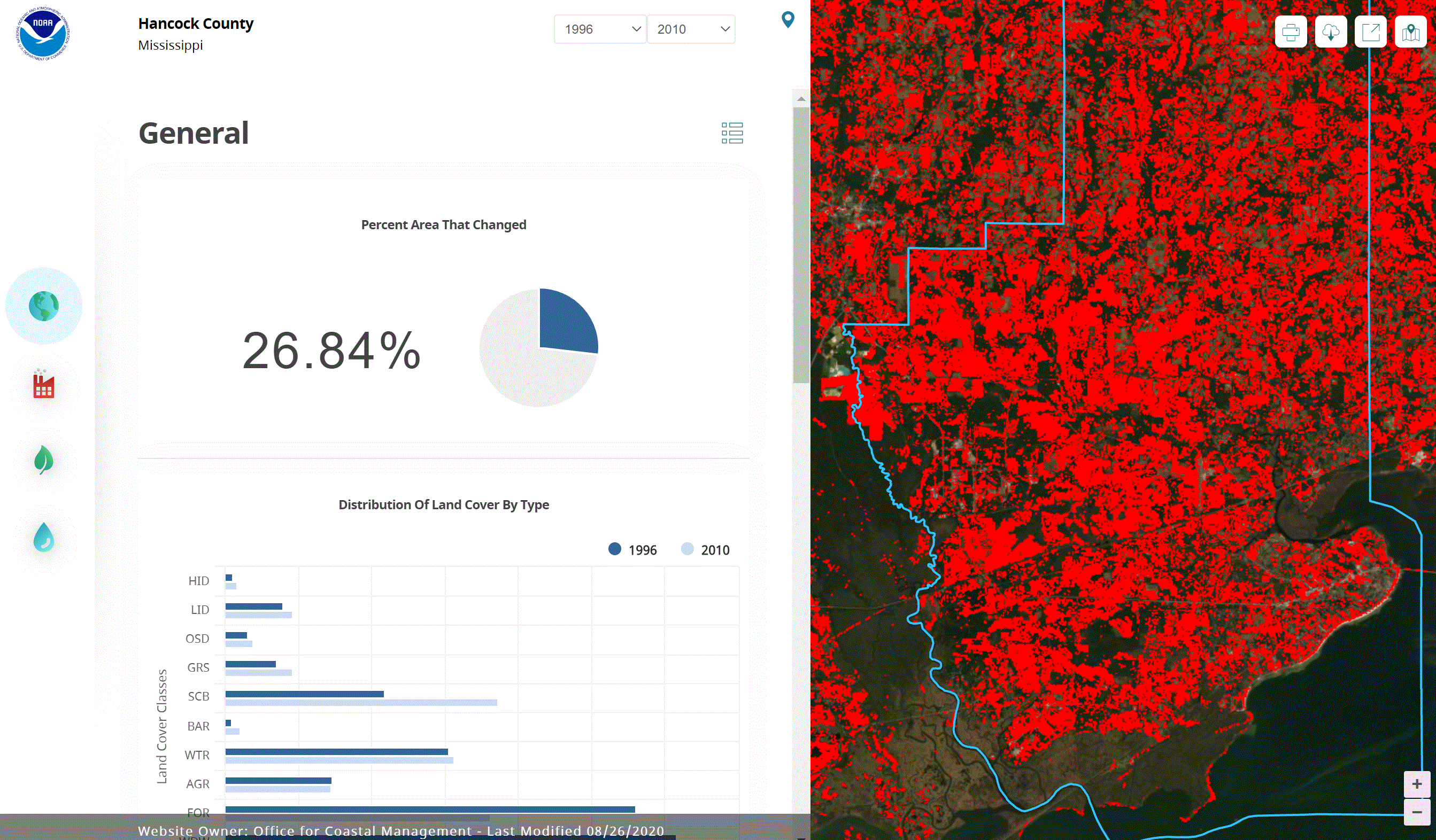
C-CAP Land Cover Atlas
Explore land cover change information and general coastal land cover information through an interactive online data viewer. Developed through NOAA’s Coastal Change Analysis Program (C-CAP). Tool by NOAA Office for Coastal Management.
Use Tool Environment, Land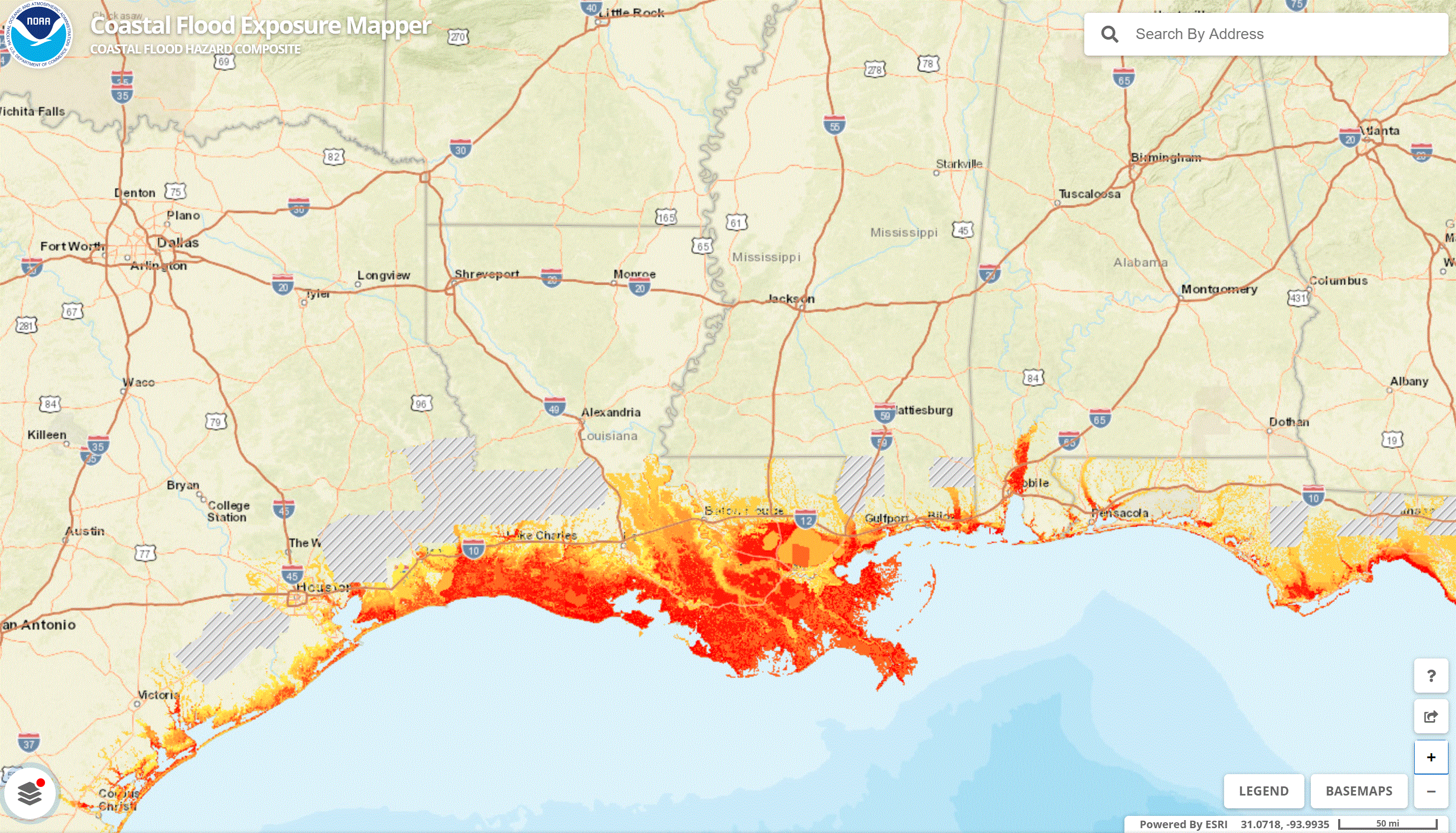
Coastal Flood Exposure Mapper
Use this tool to visualize hazard risks and vulnerabilities in coastal communities. Tool by NOAA Office for Coastal Management.
Use Tool Environment, Climate Change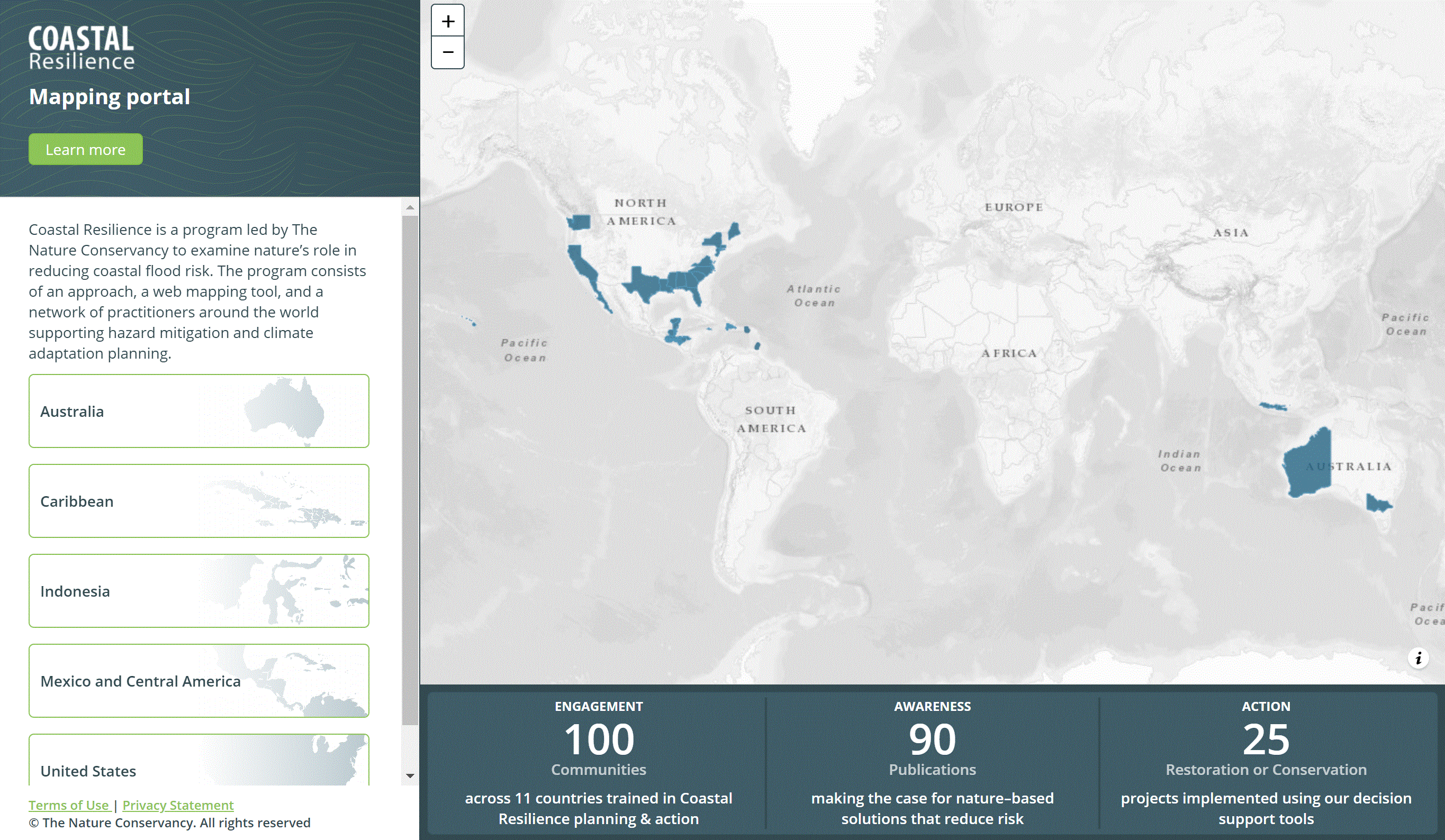
Coastal Resilience Mapping Portal
Visualize flood risks from storm surge and sea level rise. Explore at-risk populations and see the ecological, economic, and social impacts of coastal flooding. Tool by The Nature Conservancy.
Use Tool Environment, Climate Change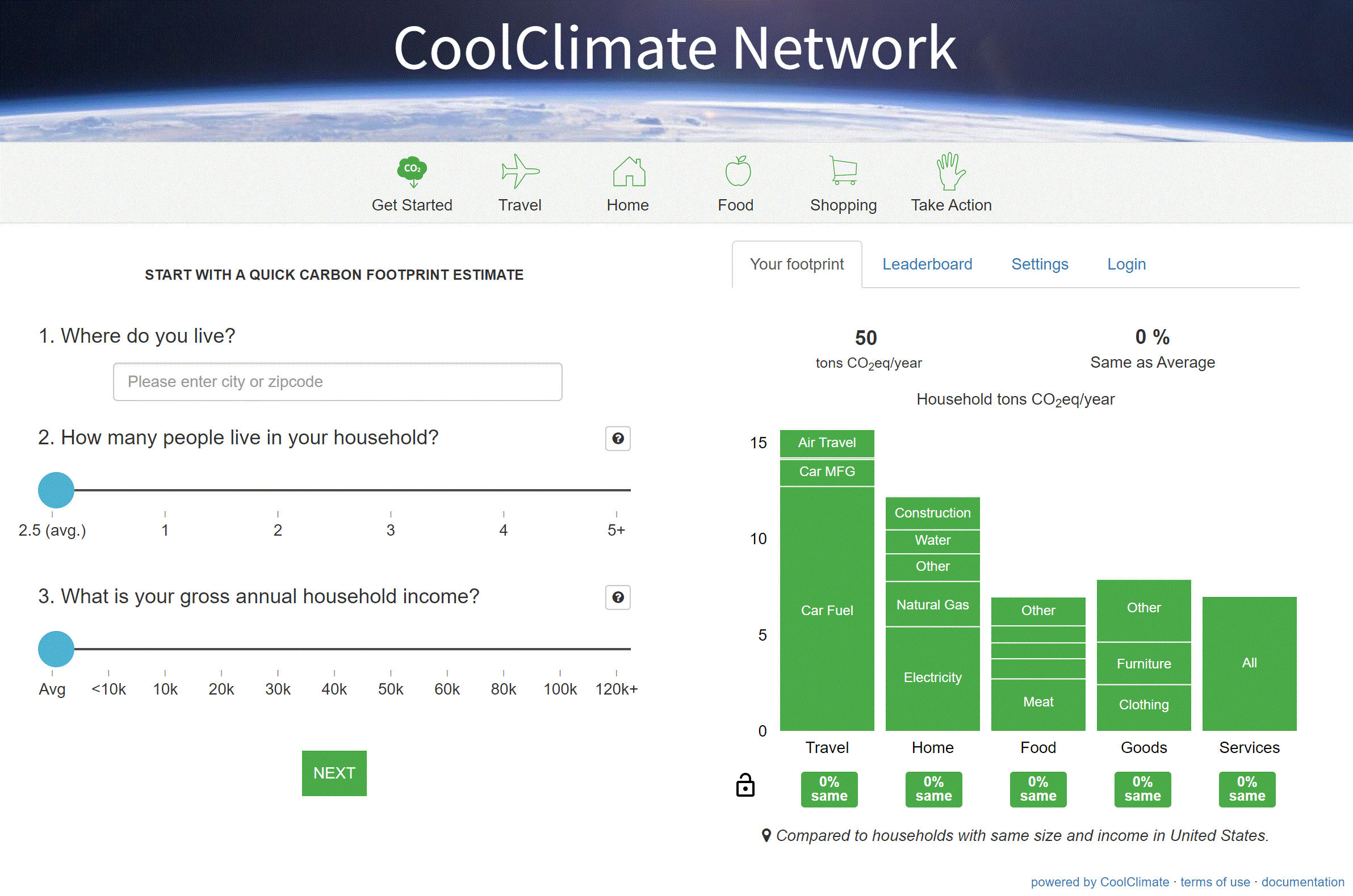
Cool Climate Calculator
Use this tool to calculate your household carbon footprint. Tool by Berkeley Cool Climate Network.
Use Tool Environment, Climate Change, Calculators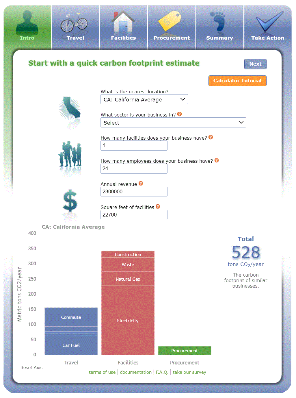
Cool Climate Calculator – Business
Use this tool to calculate your business’s carbon footprint. Tool by Berkeley Cool Climate Network.
Use Tool Environment, Climate Change, Calculators
Gulf TREE
Site contains over 107 climate change resilience tools that allow users to explore anything and everything climate change. Tool by Northern Gulf of Mexico Sentinel Site Cooperative.
Use Tool Environment, Climate Change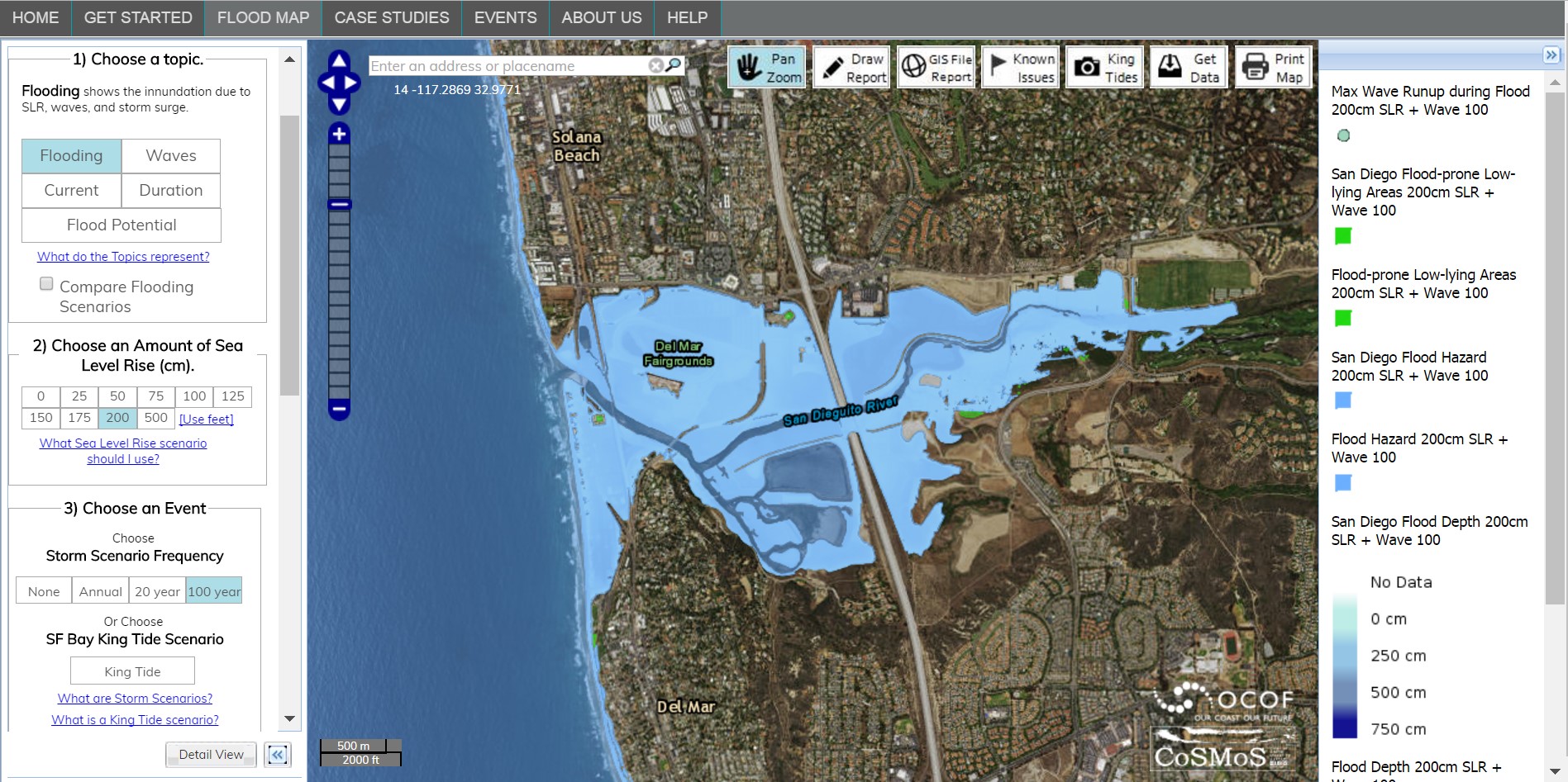
Our Coast Our Future Flood Map
Explore sea level rise vulnerabilities in California.. Tool by Point Blue Conservation Science.
Use Tool Environment, Climate Change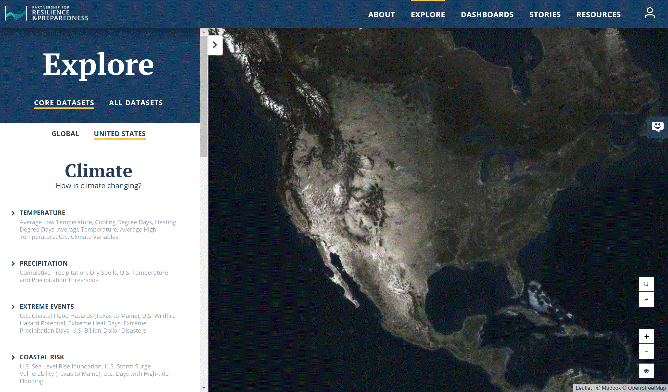
Partnership For Resilience And Preparedness Data
Visualize data relating to vulnerability and climate resilience in the U.S. and India. Tool by Future Earth, World Resources Institute.
Use Tool Environment, Climate Change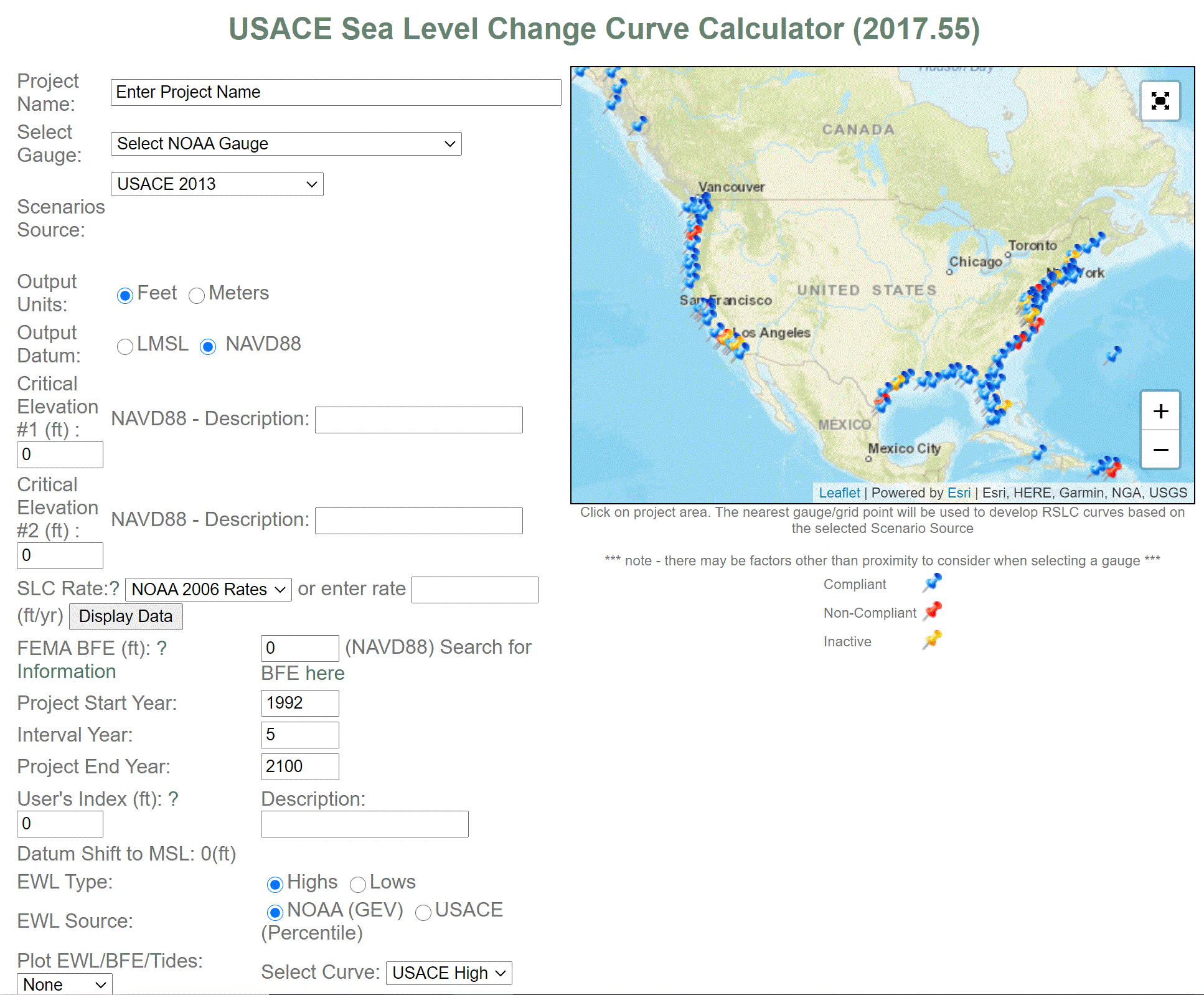
Sea Level Change Curve Calculator
Calculate projected rates of sea level change. Tool by United States Army Corps of Engineers, NOAA Center for Operational Oceanographic and Products and Services.
Use Tool Environment, Climate Change, Calculators
Sea Level Rise Viewer
An easy to use tool to visualize the impacts from sea level rise and coastal flooding. Tool by NOAA.
Use Tool Environment, Climate Change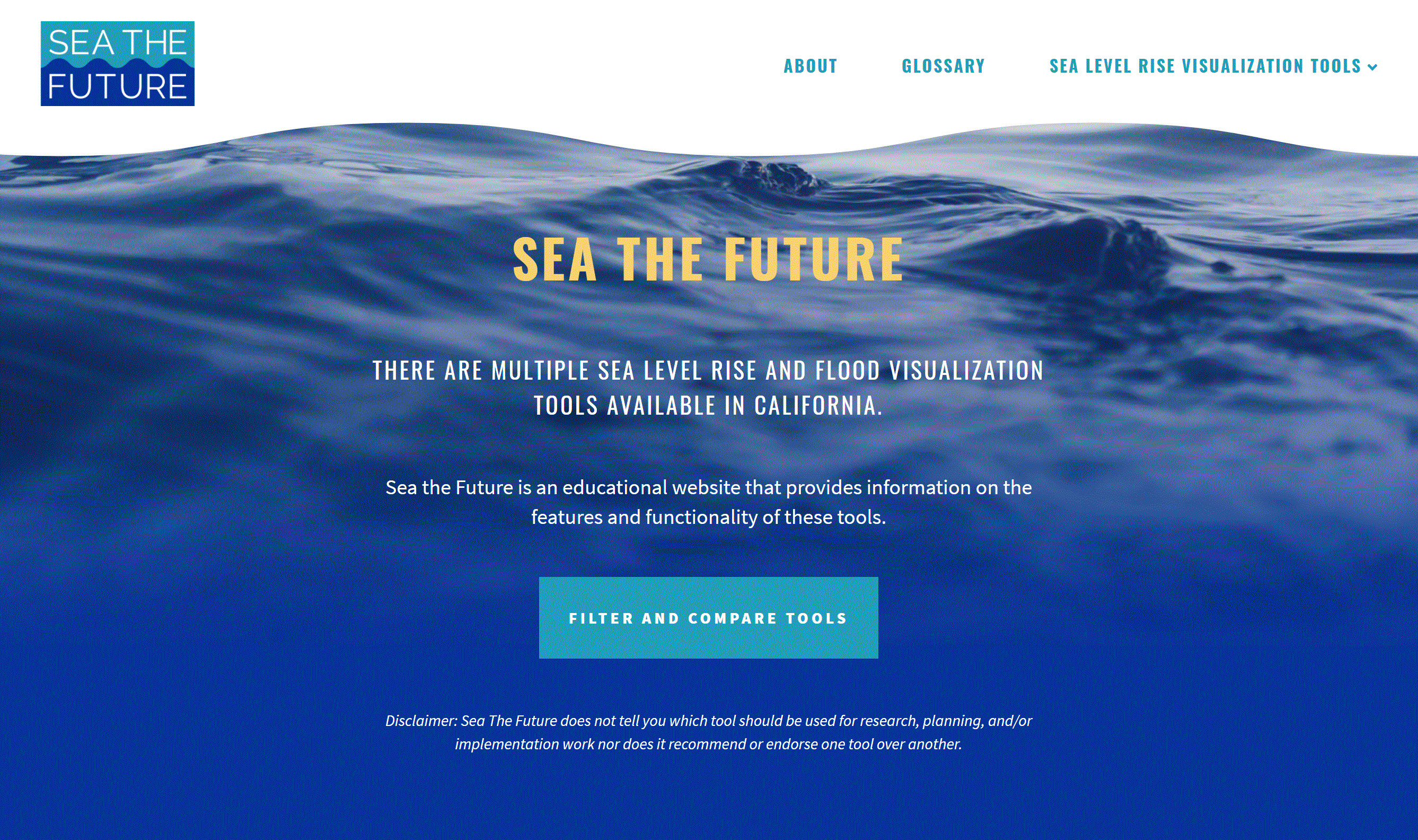
Sea The Future
Filter and compare sea level rise tools for California. Tool by California State Coastal Conservancy, San Francisco Bay Sentinel Site Cooperative, NOAA Office for Coastal Management.
Use Tool Environment, Climate Change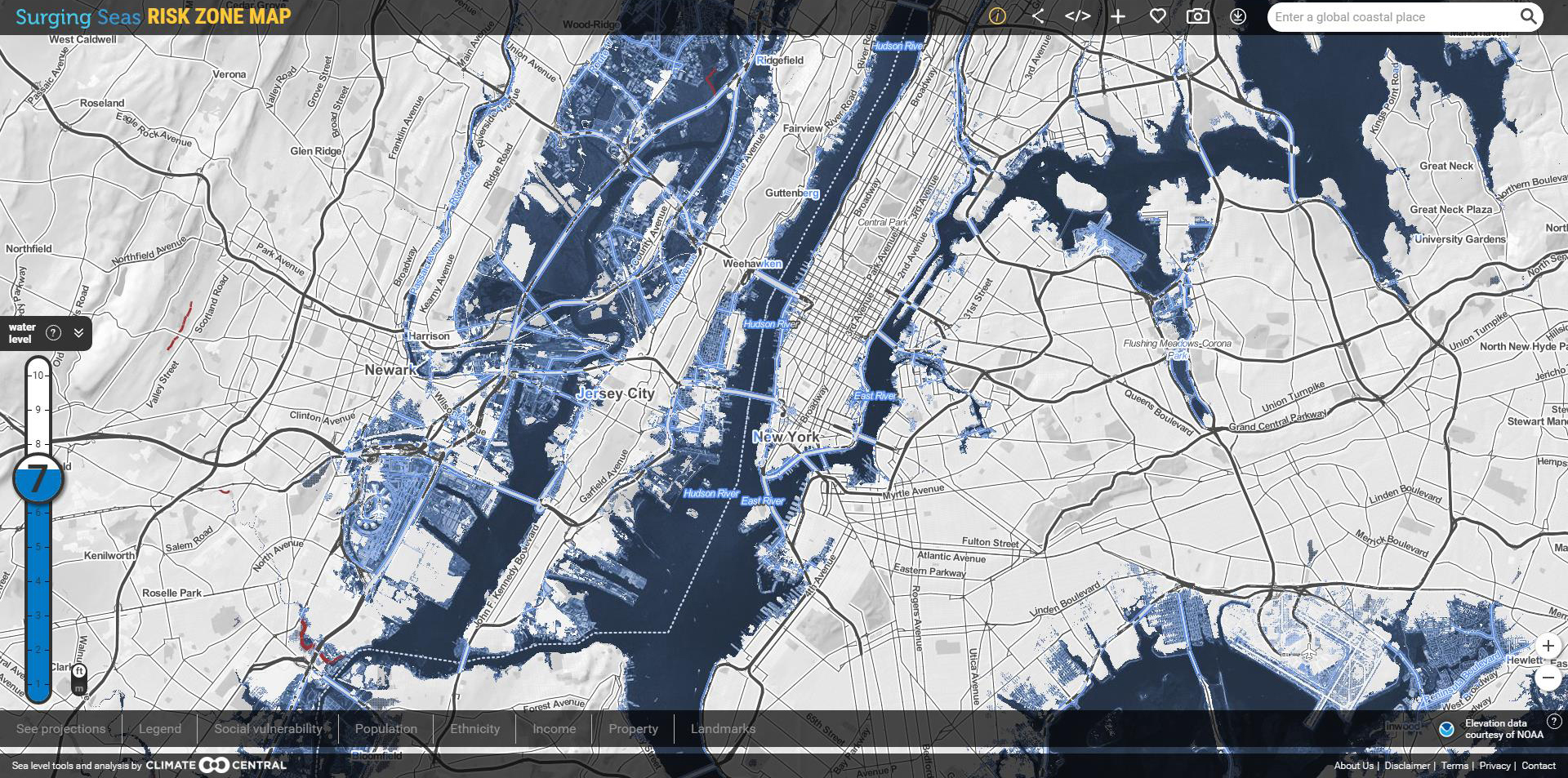
Surging Seas
Use multiple tools to observe and visualize areas potentially affected by storm surge and sea level rise. Tool by Climate Central.
Use Tool Environment, Climate Change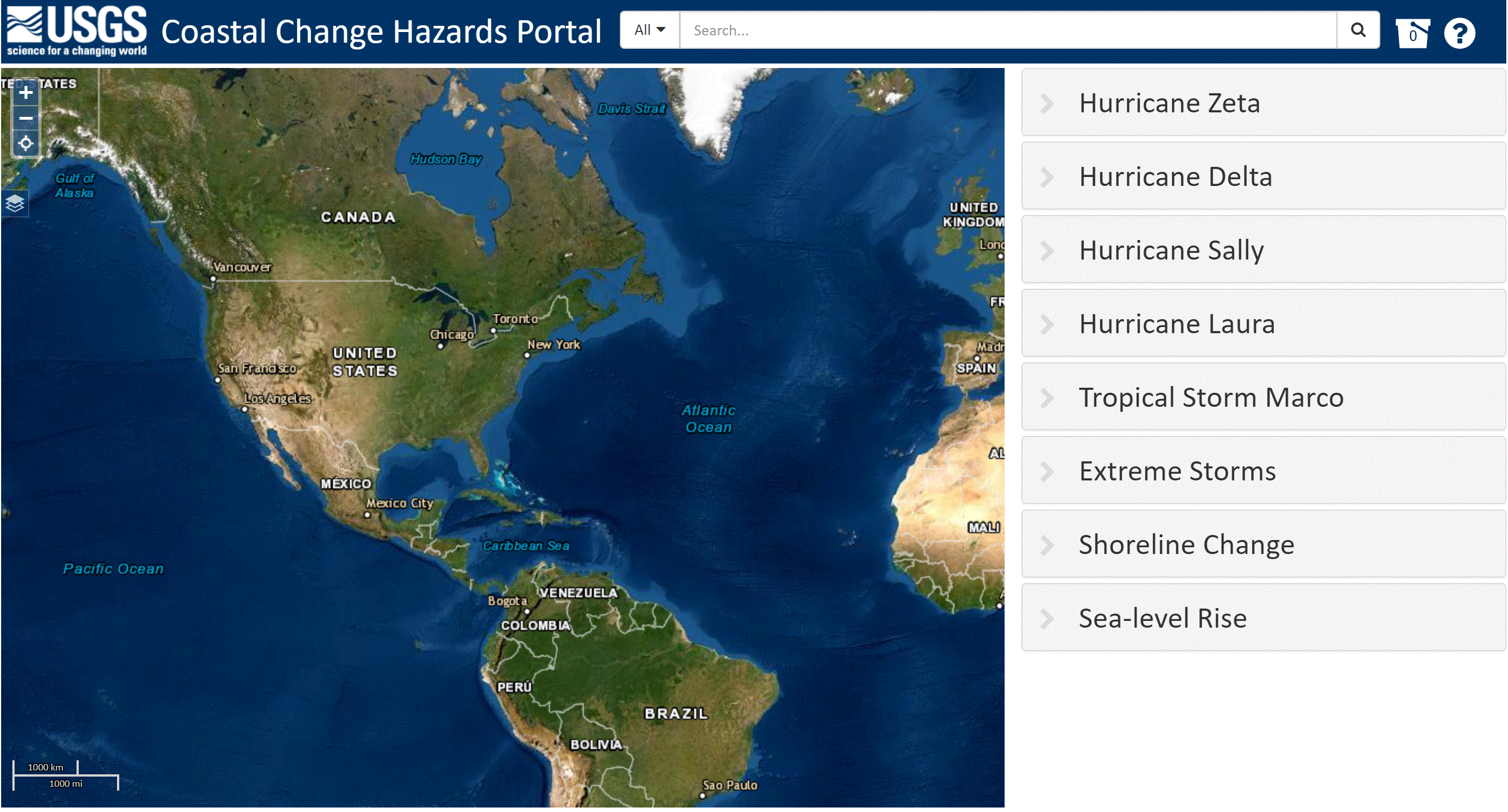
Coastal Change Hazard Portal
Explore scientific data involving sea level rise, shoreline change, and extreme storms. Tool by USGS.
Use Tool Environment, Nature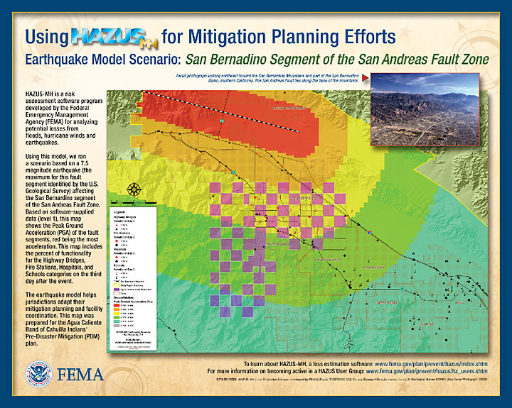
Hazus
A FEMA tool that estimates potential losses from hazards. Requires Download. Tool by FEMA.
Use Tool Environment, Nature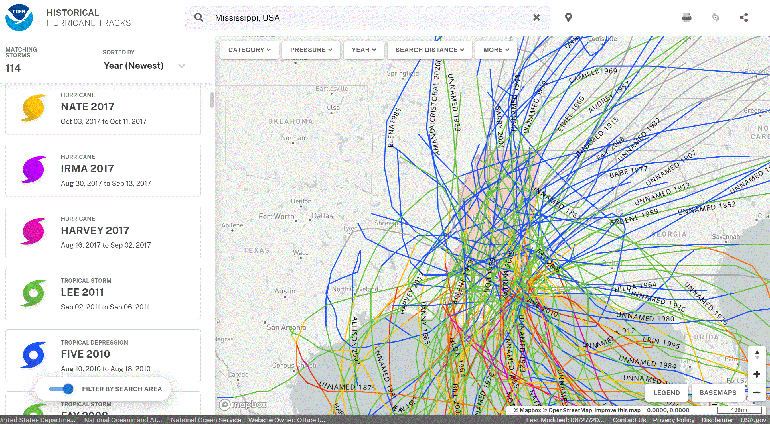
Historical Hurricane Tracks
Pick a location and observe past hurricane tracks. Tool by NOAA.
Use Tool Environment, Nature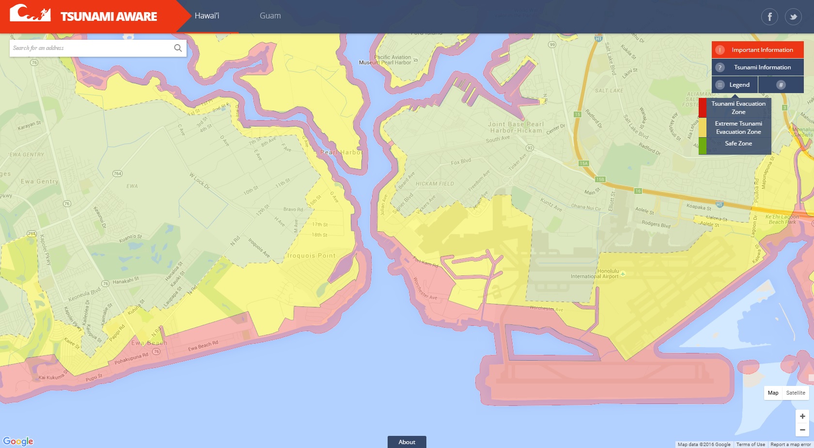
Tsunami Aware
Tsunami evacuation maps and other information to keep the public informed. Tool by NOAA Office for Coastal Management, Hawaii Emergency Management Agency.
Use Tool Environment, Nature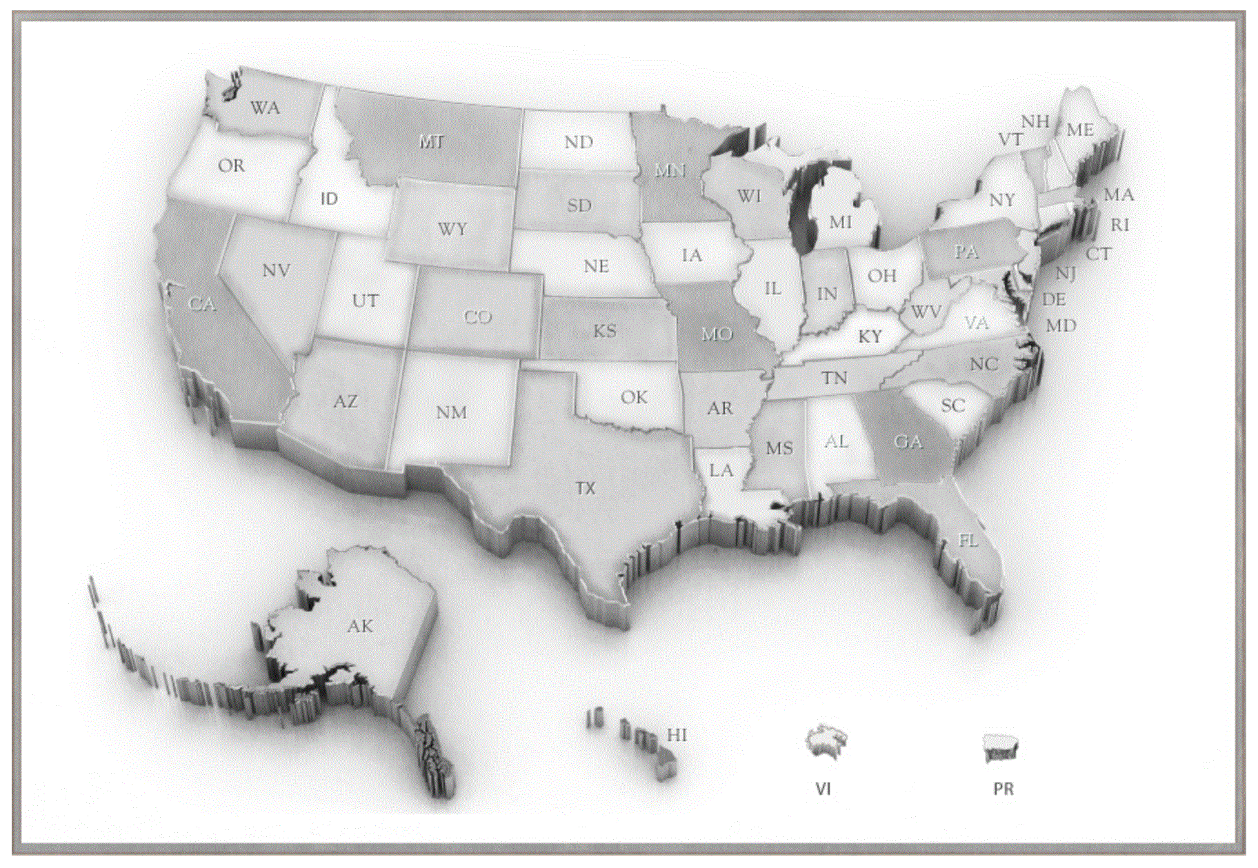
Endangered Species Act (ESA) Success Stories
Click on a State and learn about the endangered species in your area. Tool by U.S. Fish and Wildlife Service.
Use Tool Environment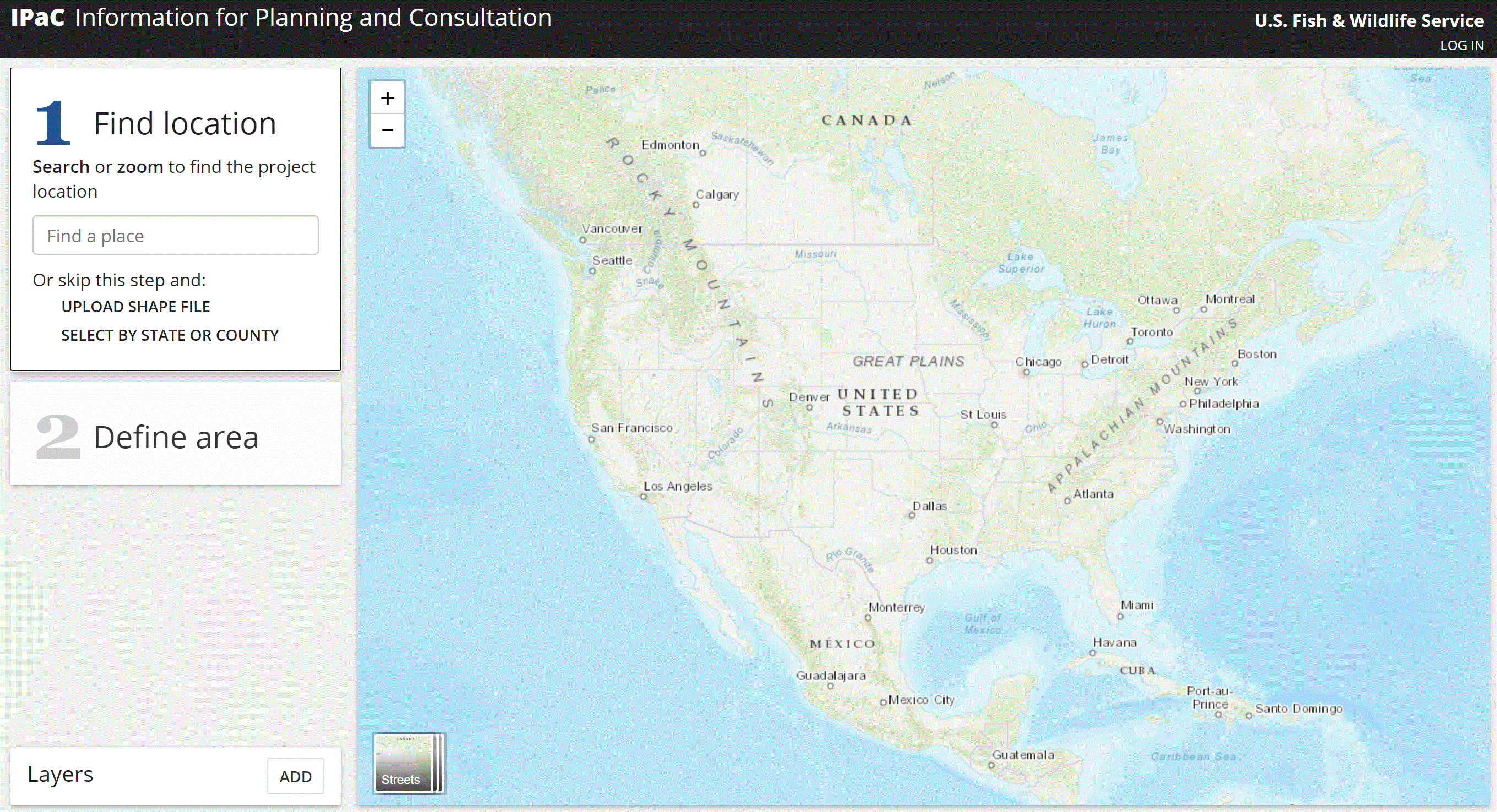
Information for Planning and Consultation (IPAC)
Select or draw an area on the map and find conservation information such as endangered species and critical habitats. Tool by U.S. Fish and Wildlife Service.
Use Tool Environment, Wildlife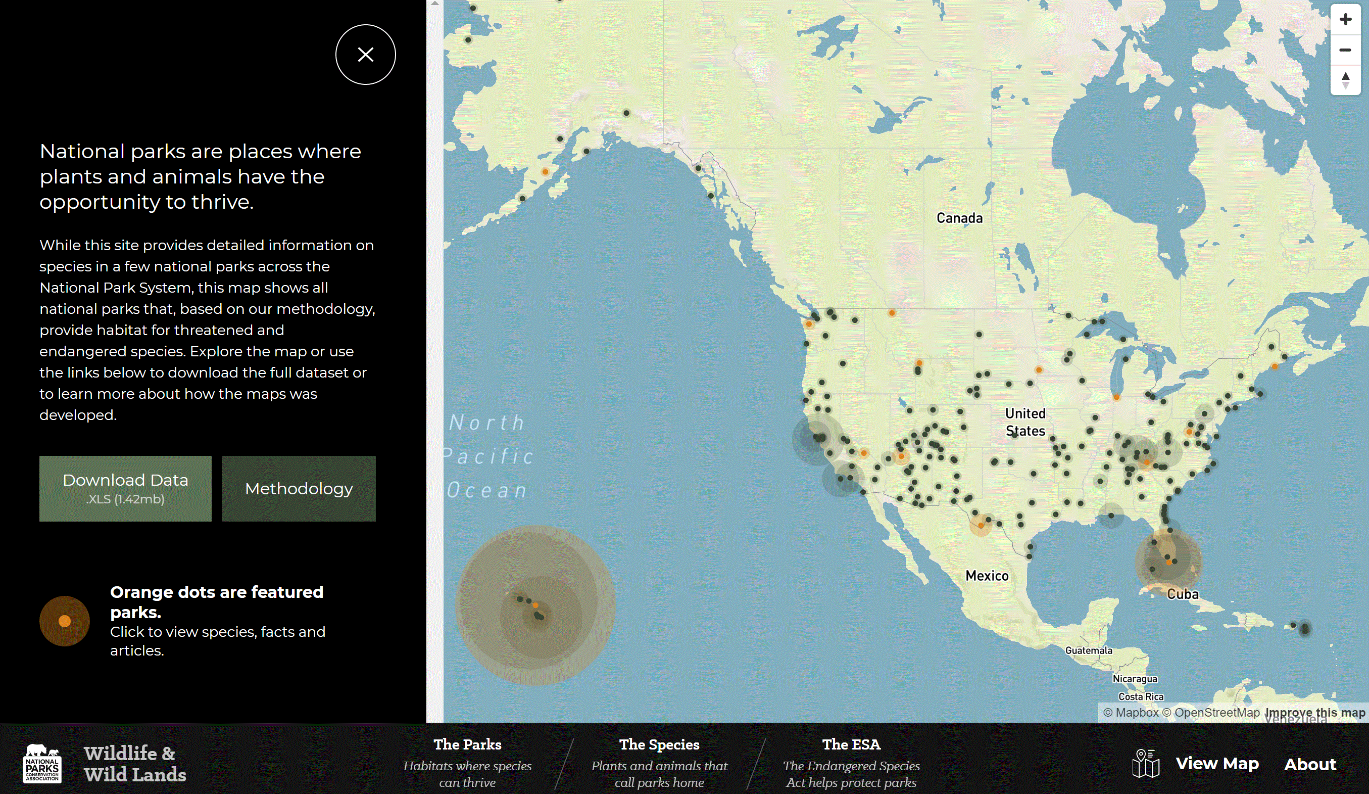
Threatened and Endangered Species in National Parks
An interactive map that shows threatened and endangered species in our national parks. Tool by National Parks Conservation Association.
Use Tool Environment, Wildlife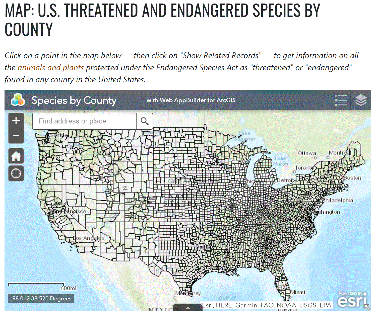
U.S. Threatened And Endangered Species By County
Explore threatened or endangered species protected under the Endangered Species Act. Tool by Center for Biological Diversity.
Use Tool Environment, Wildlife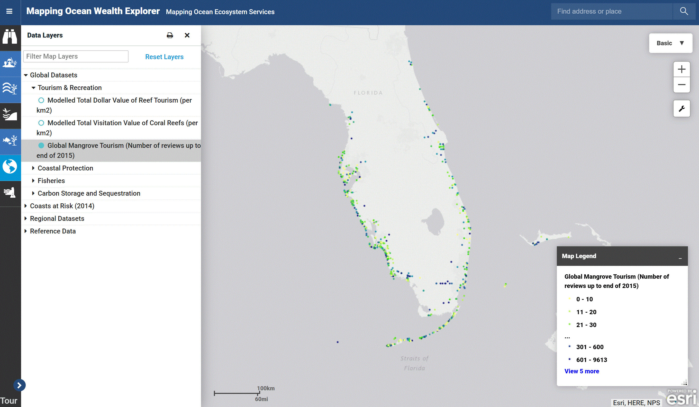
Atlas Of Ocean Wealth
Explore the value of ocean ecosystems. Tool by The Nature Conservancy.
Use Tool Economic, Environment, Ocean and Water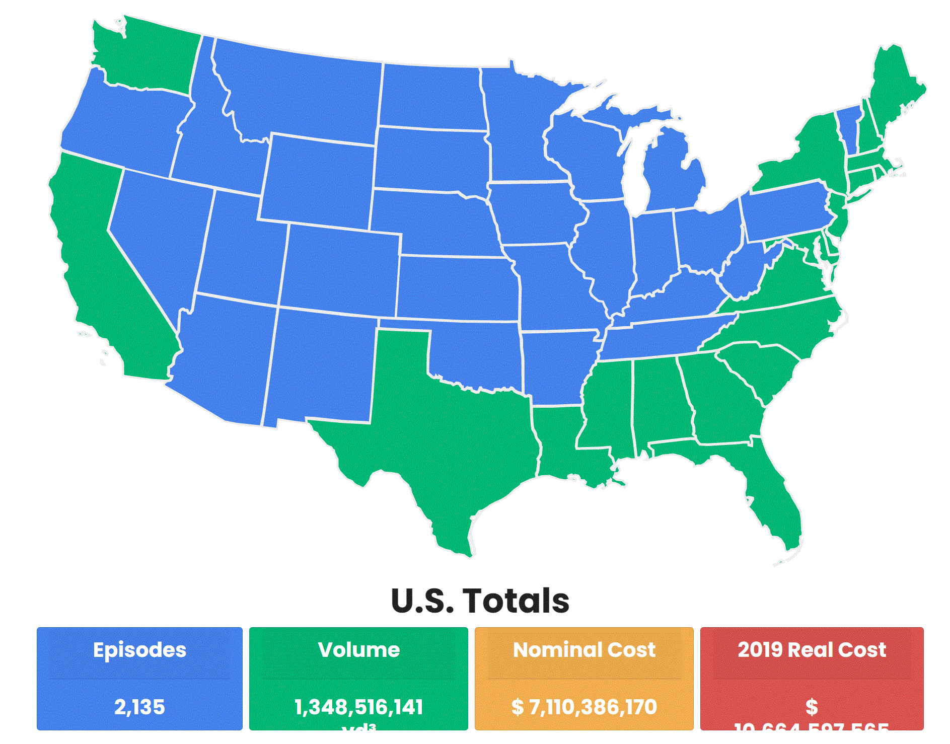
Beach Nourishment Viewer
Explore beach nourishment projects from 1923 to present. Tool by Western Carolina University.
Use Tool Environment, Ocean and Water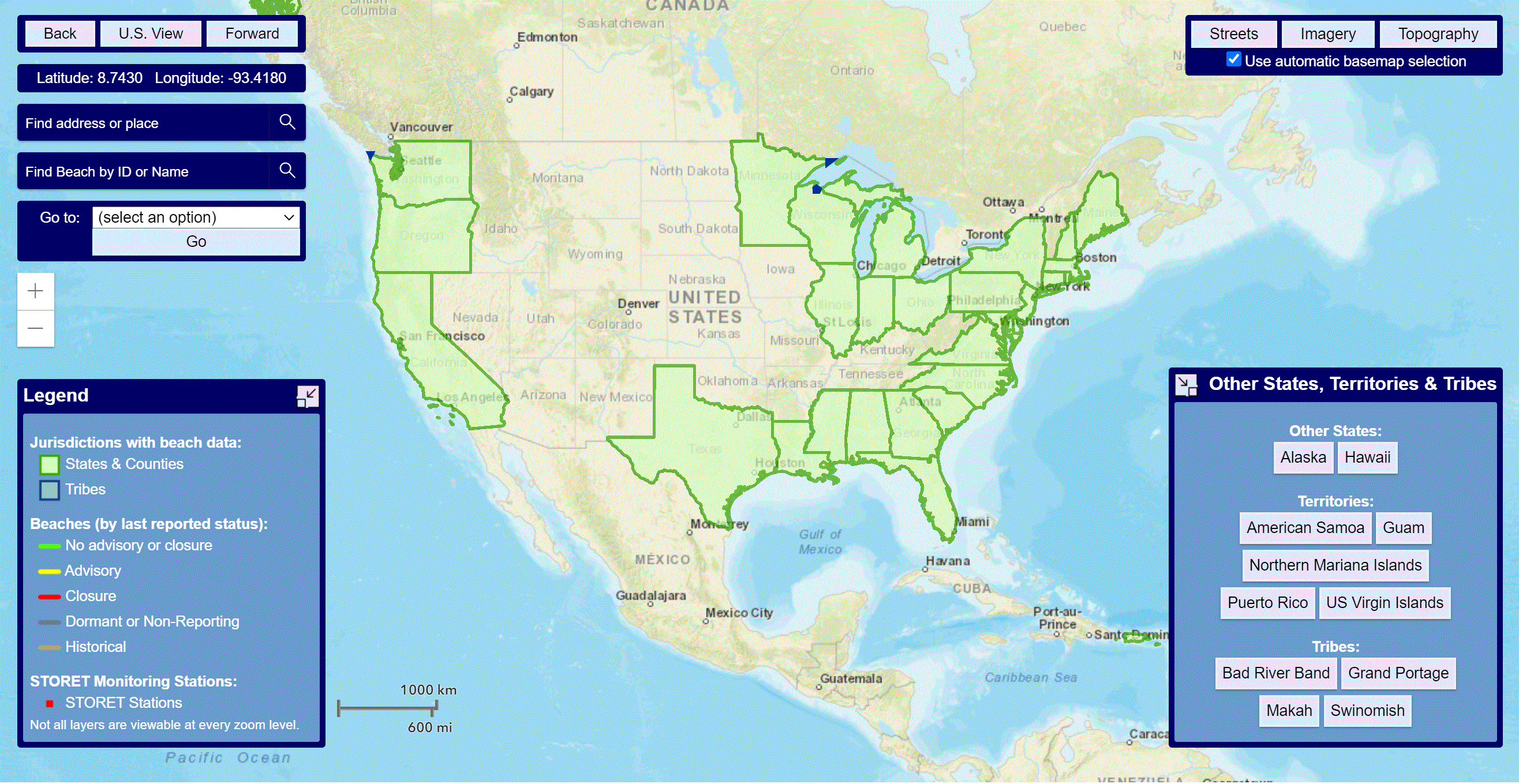
BEACON 2.0
The Beach Advisory and Closing Online Notification (BEACON) lets you explore pollution occurrences for coastal waters in real time. Tool by EPA.
Use Tool Environment, Ocean and Water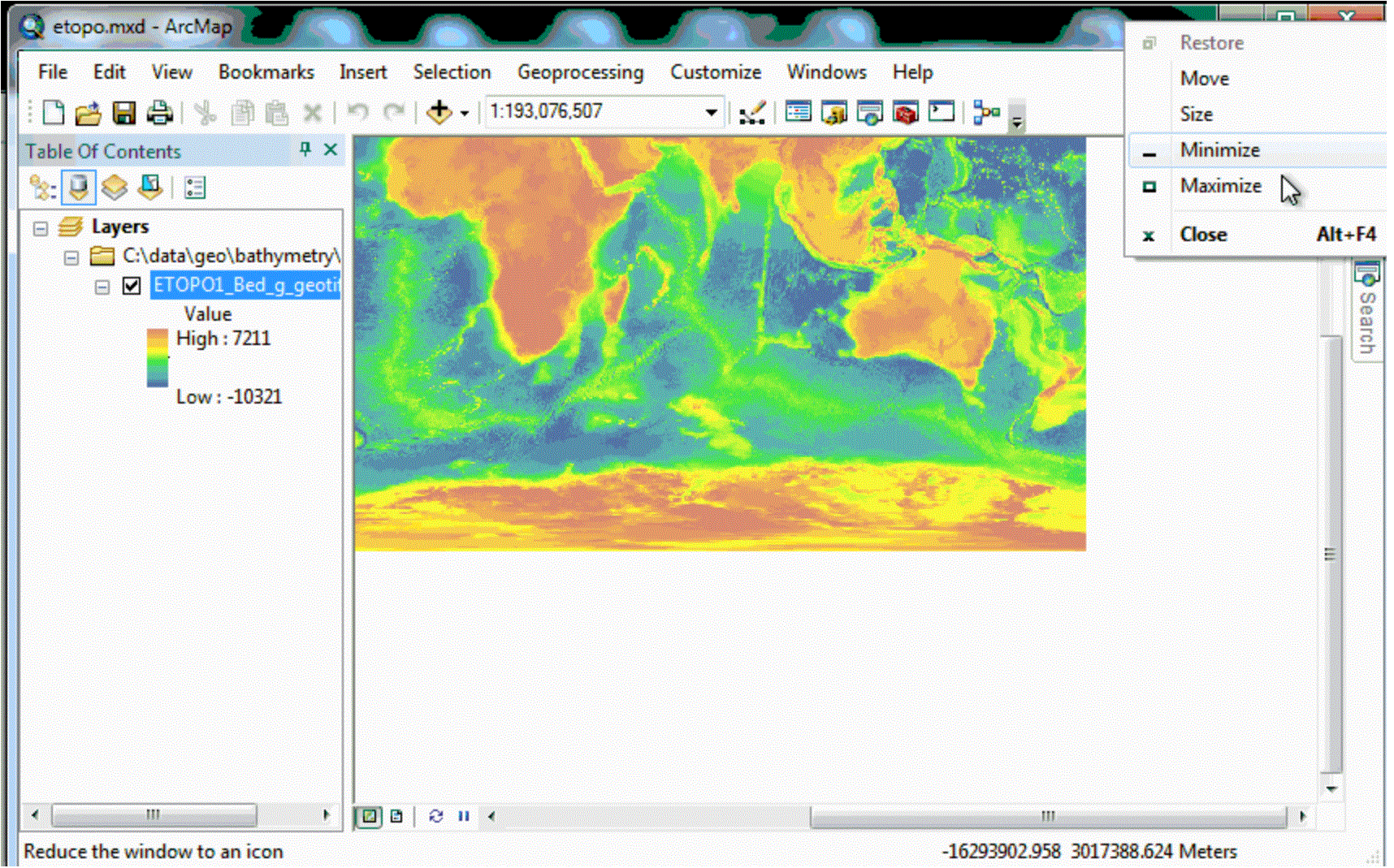
Benthic Terrain Modeler
Download the Benthic Terrain Modeler and use a collection of tools to understand the benthic environment (depths of the ocean). Tool by NOAA.
Use Tool Environment, Ocean and Water
Blue Values
Serves as an online database that allows users to search monetary value for identified ecosystems. Tool by Harte Research Institute For Gulf of Mexico Studies.
Use Tool Environment, Wildlife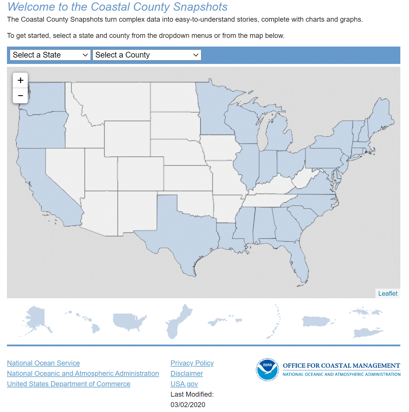
Coastal County Snapshots
A tool used to view coastal data by county. Tool by NOAA.
Use Tool Demographic, Environment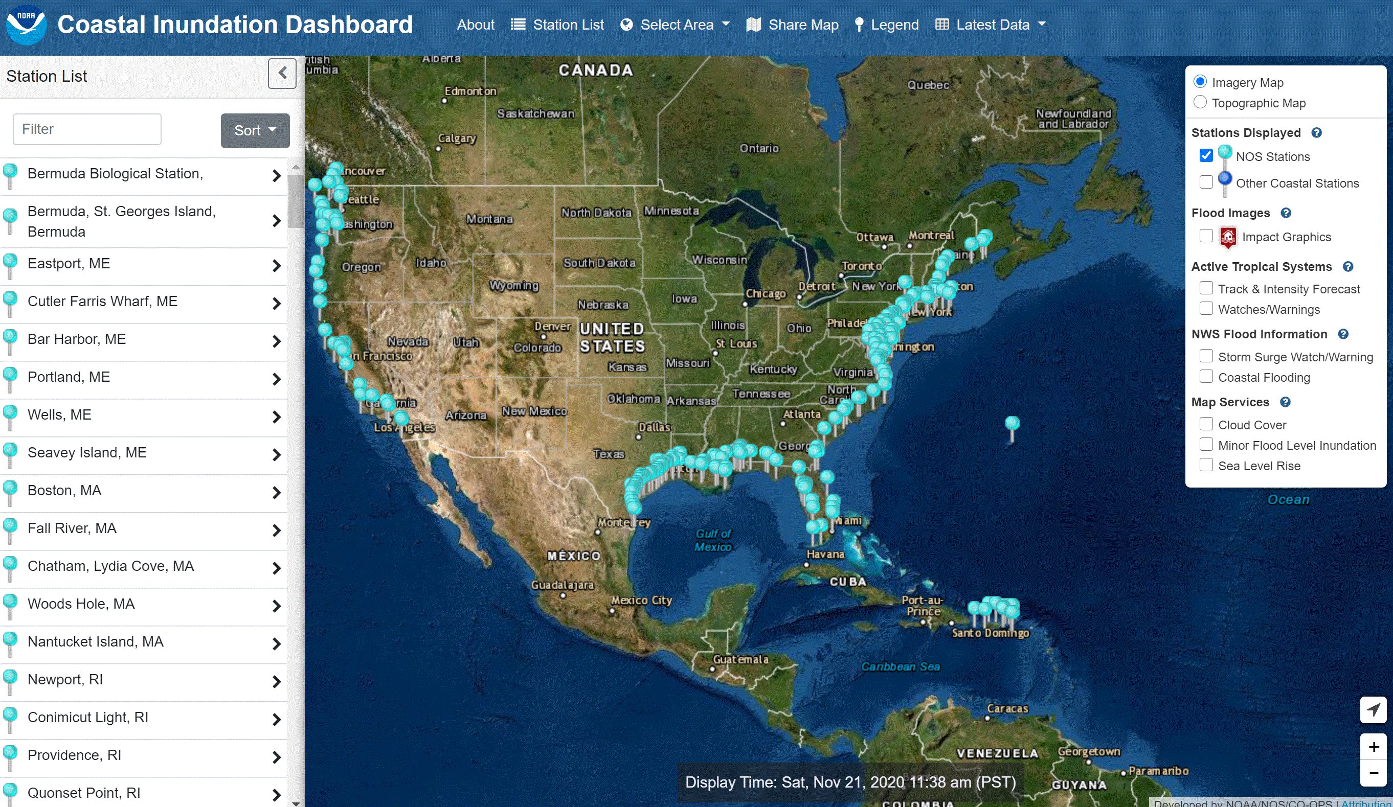
Coastal Inundation Dashboard
Click on an area to view coastal inundation levels. Other filters (such as cloud cover) are also available. Tool by NOAA.
Use Tool Environment, Ocean and Water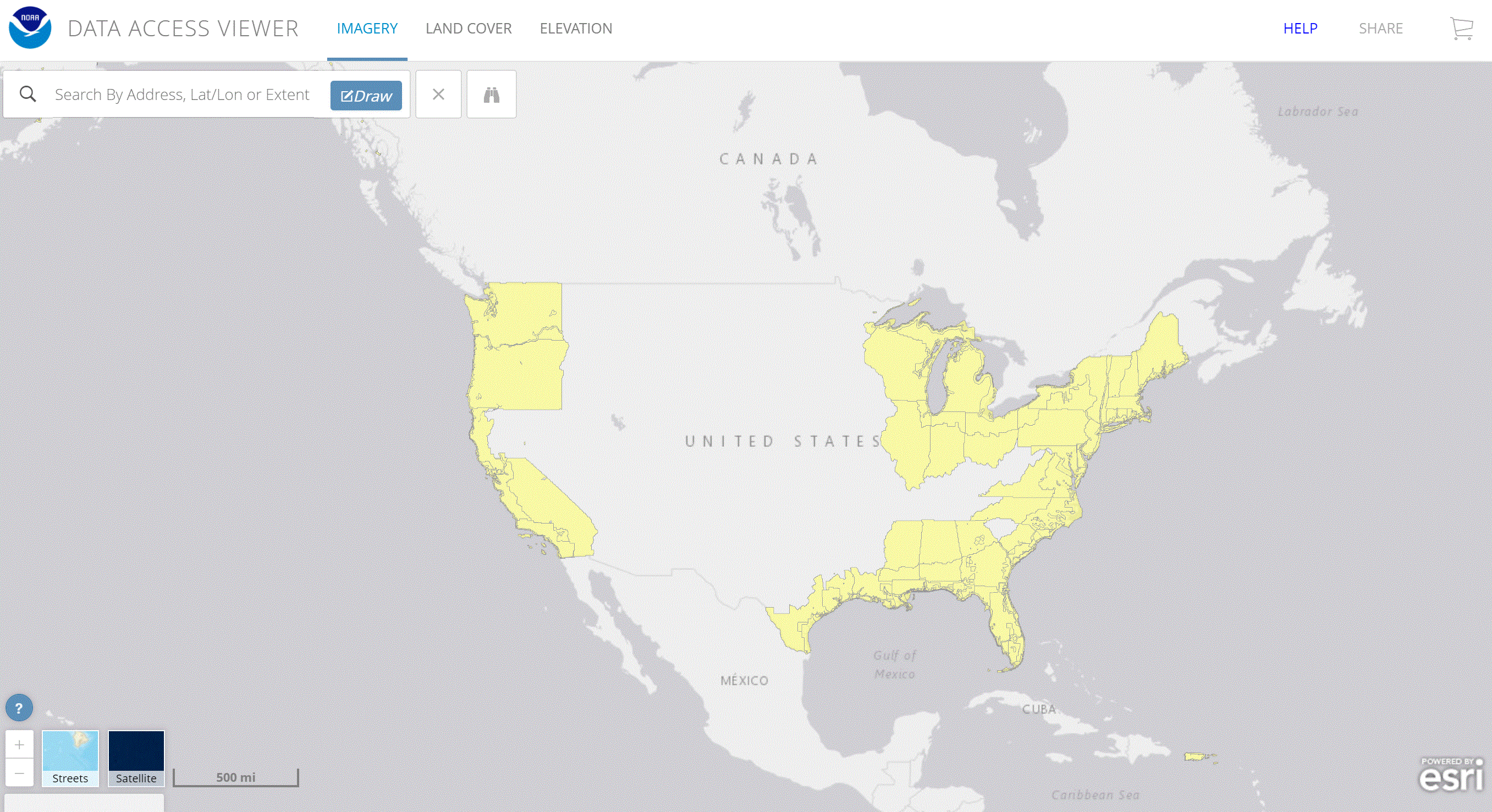
Data Access Viewer
Download land-cover, imagery, and lidar data from U.S. coastal areas. Tool by NOAA.
Use Tool Environment, Land, Ocean and Water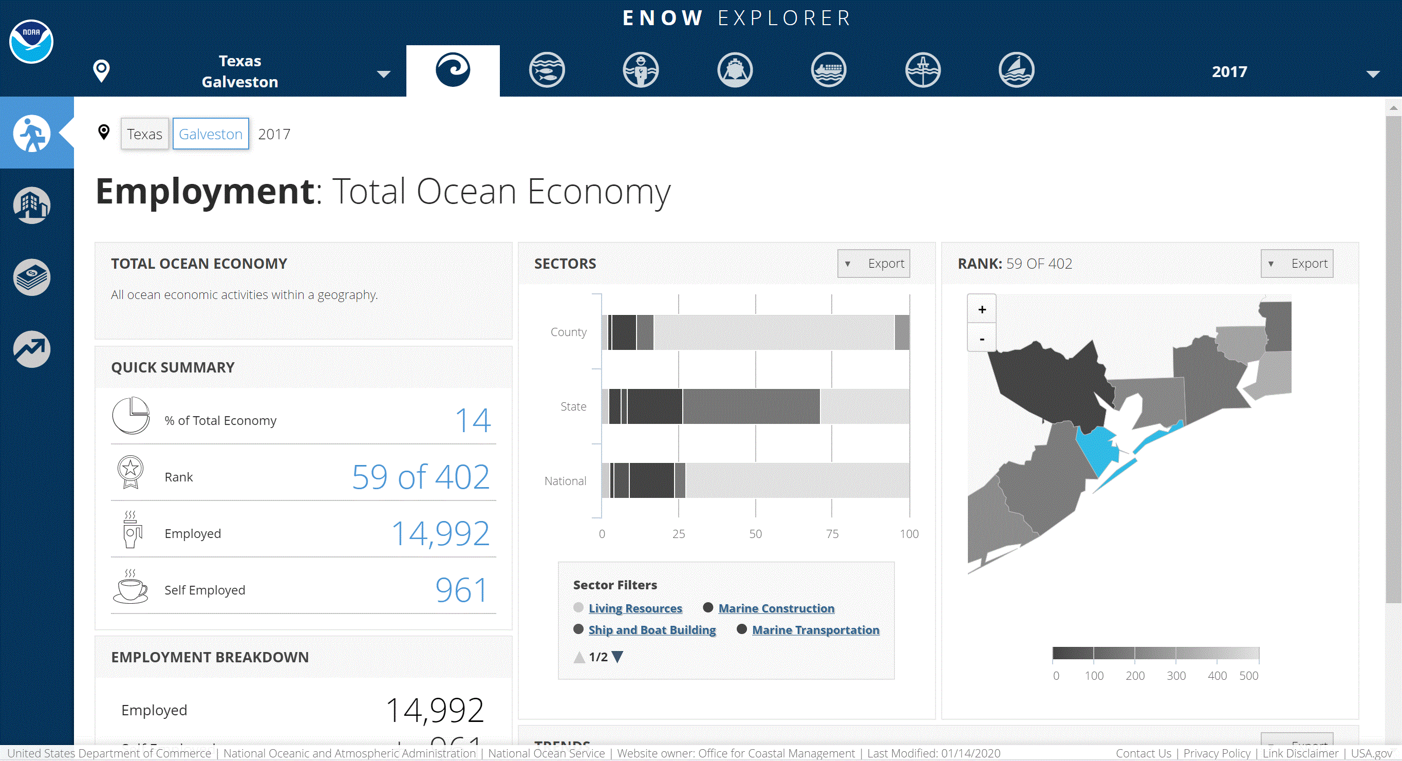
ENOW Explorer
View economic data from six six sectors dependent on the great lakes or ocean. Tool by NOAA.
Use Tool Environment, Ocean and Water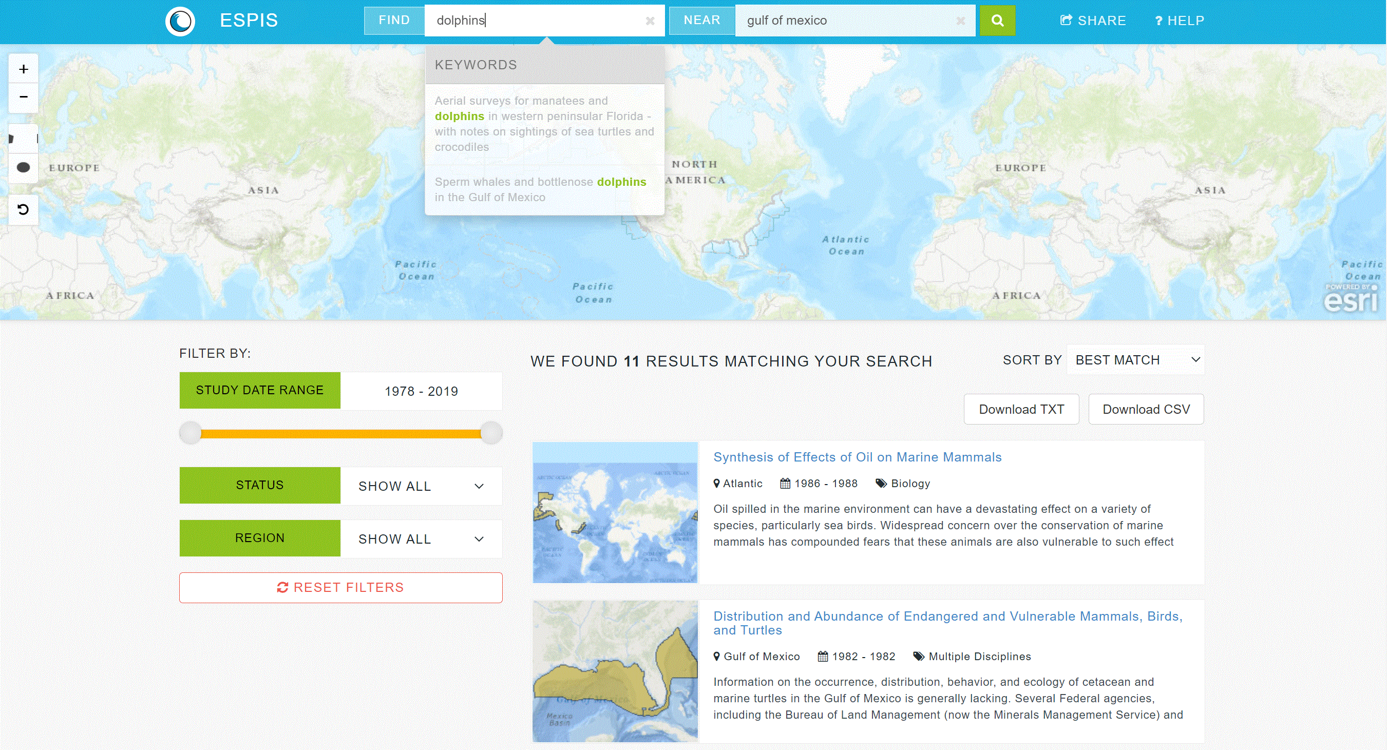
Environmental Studies Program Information System
Explore over 40 years of ocean science research. Tool by NOAA.
Use Tool Environment, Ocean and Water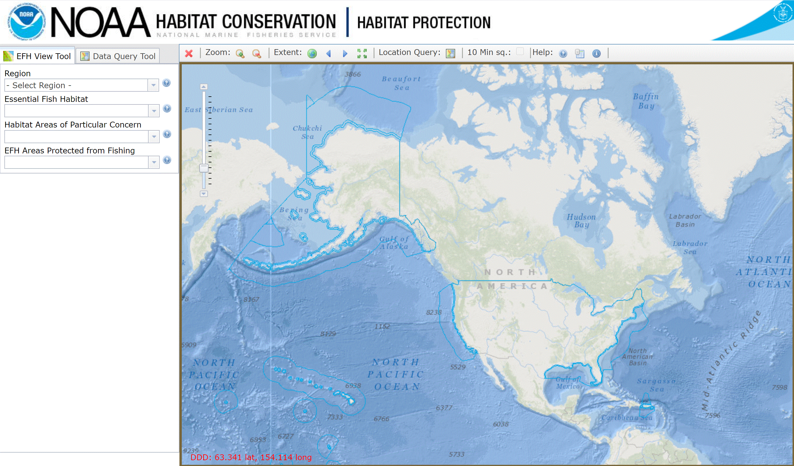
Essential Fish Habitat Mapper
Explore essential fish habitats and other areas of concern. Tool by NOAA.
Use Tool Environment, Ocean and Water, Wildlife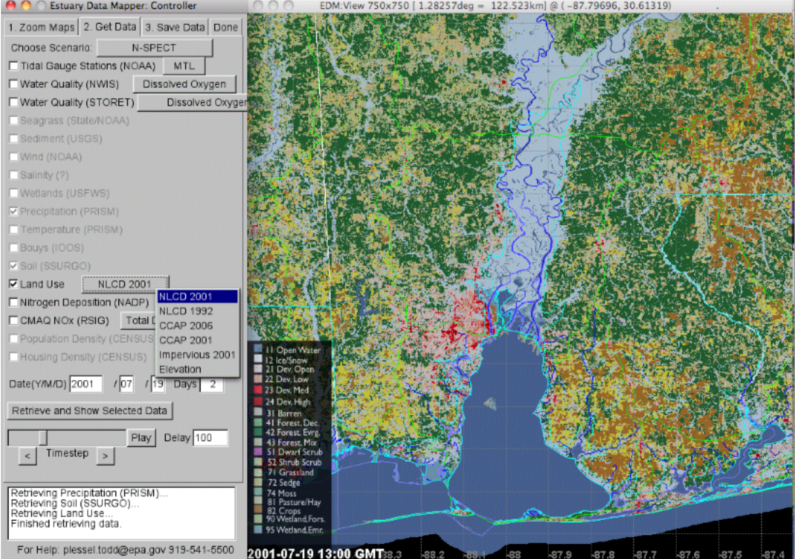
Estuary Data Mapper
Visualize and explore estuary data on an interactive map. Must download to use. Tool by EPA.
Use Tool Environment, Ocean and Water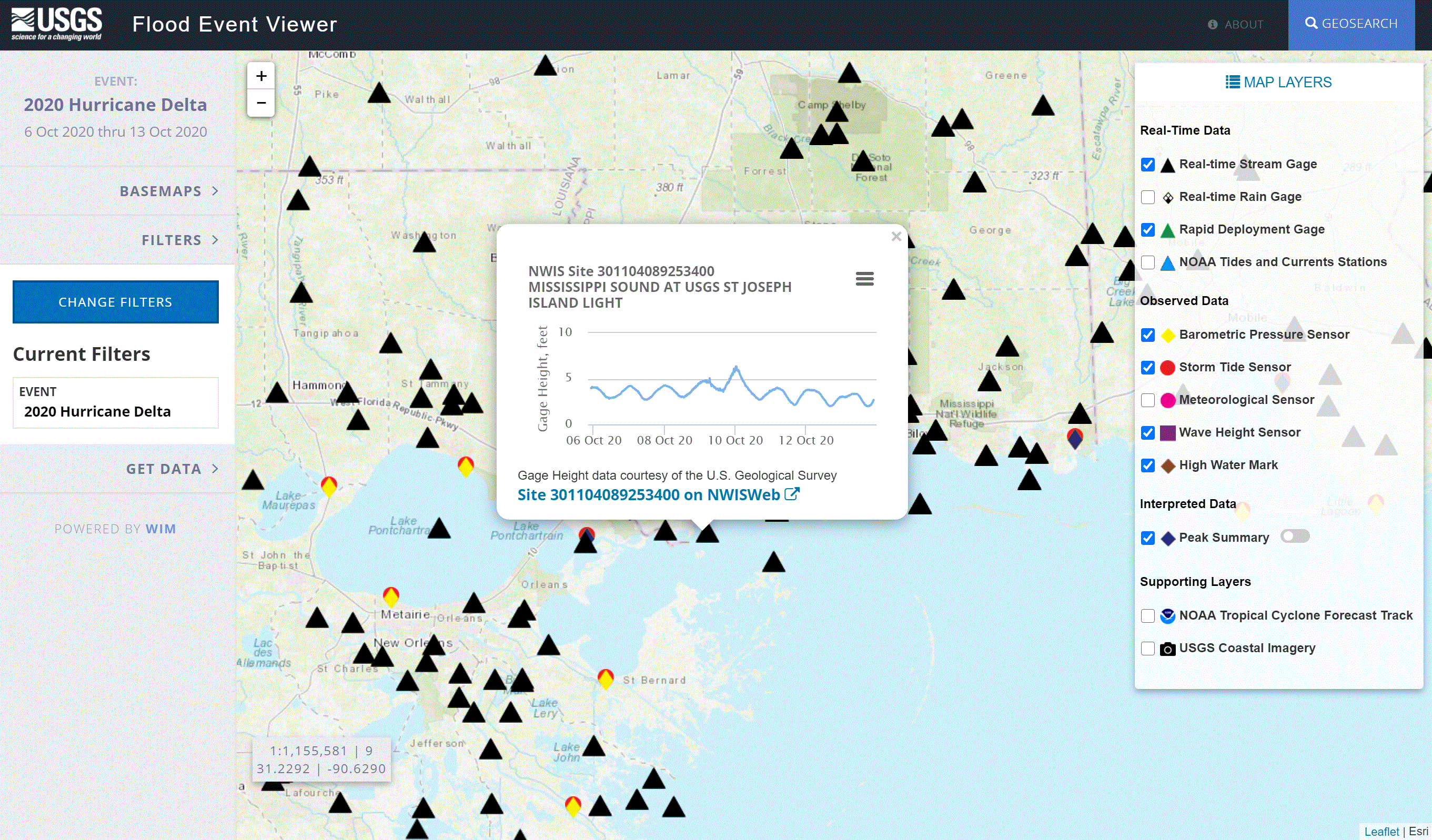
Flood Event Viewer
Visualize and explore significant flood events across the U.S. Tool by USGS.
Use Tool Emergency Management, Environment, Ocean and Water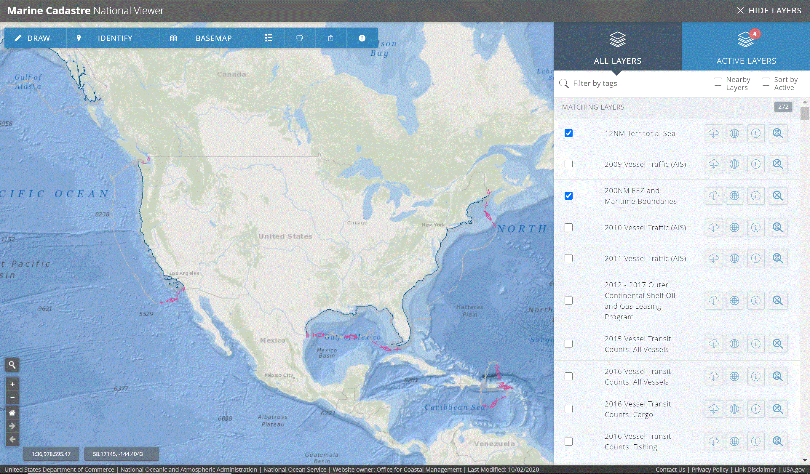
Marine Cadastre National Viewer
Provides planning information related to the ocean. Find the best location for renewable energy projects or get information on the permit review process. Tool by Bureau of Ocean Energy Management, NOAA Office for Coastal Management.
Use Tool Environment, Ocean and Water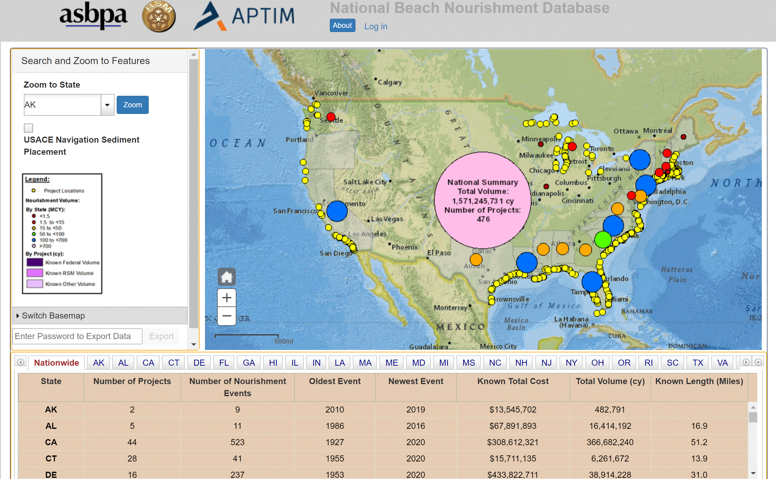
National Beach Nourishment Database
Explore local, state, and federal beach nourishment projects across the U.S. Tool by
Use Tool Environment, Ocean and Water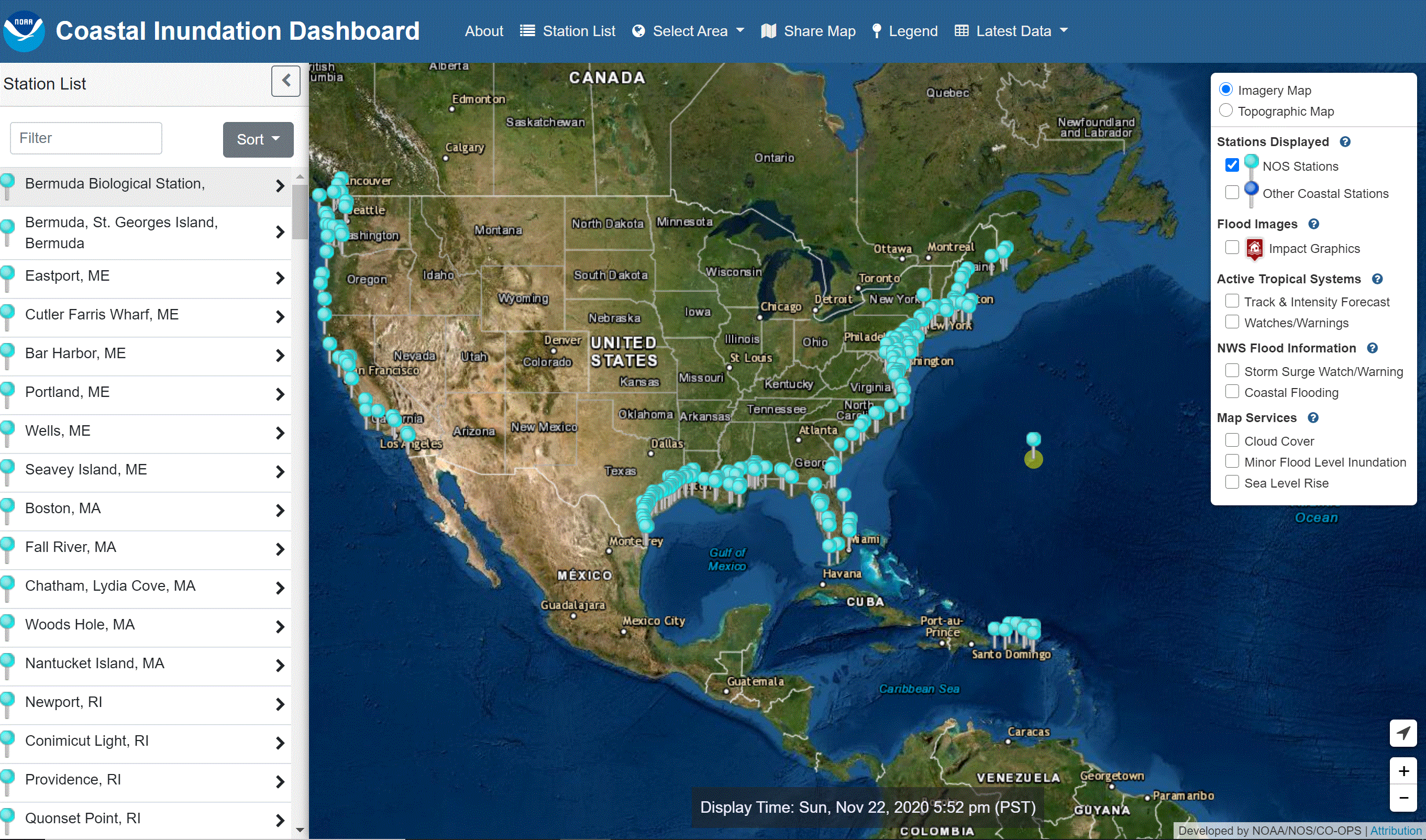
NOAA Tides And Currents Inundation Dashboard
View real-time information from National Ocean Service tide stations. Tool by NOAA Center for Operational Oceanographic Products and Services.
Use Tool Environment, Ocean and Water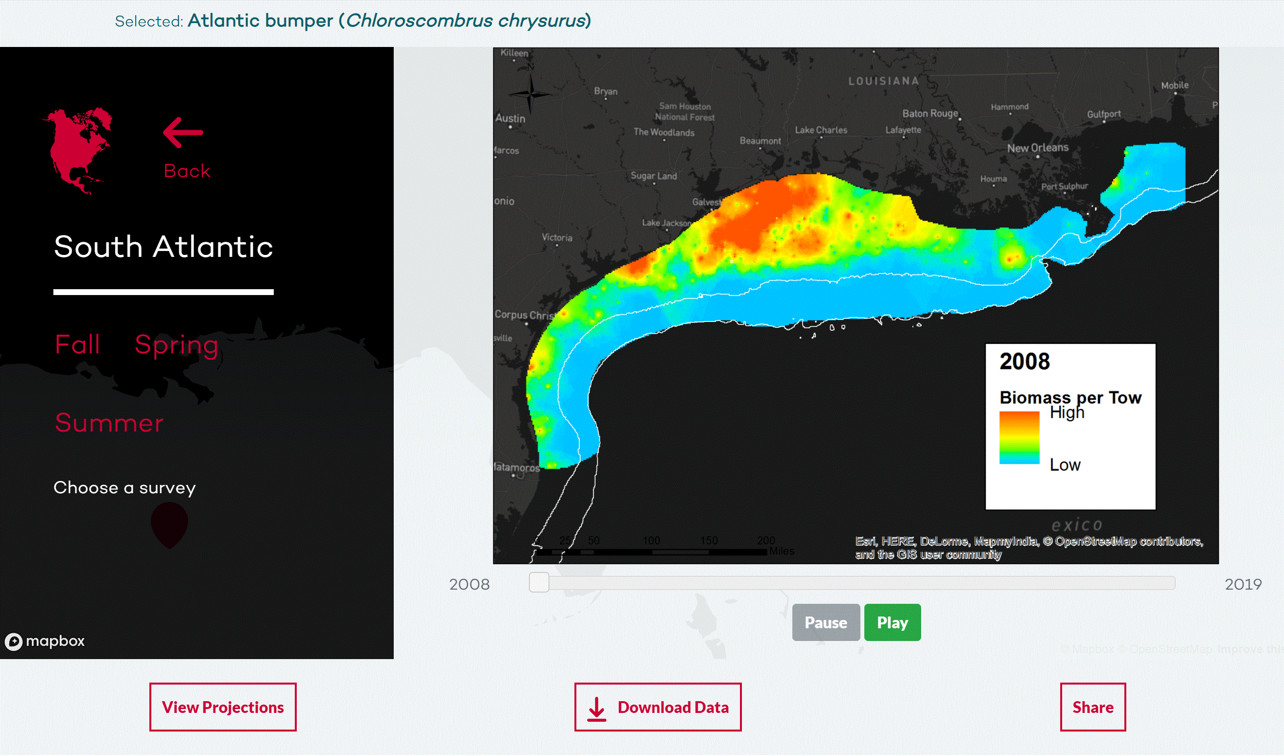
Ocean Adapt
Explore information and changes for nearly 650 species using an interactive map. Tool by Rutgers University, NOAA National Marine Fisheries Service.
Use Tool Environment, Ocean and Water, Wildlife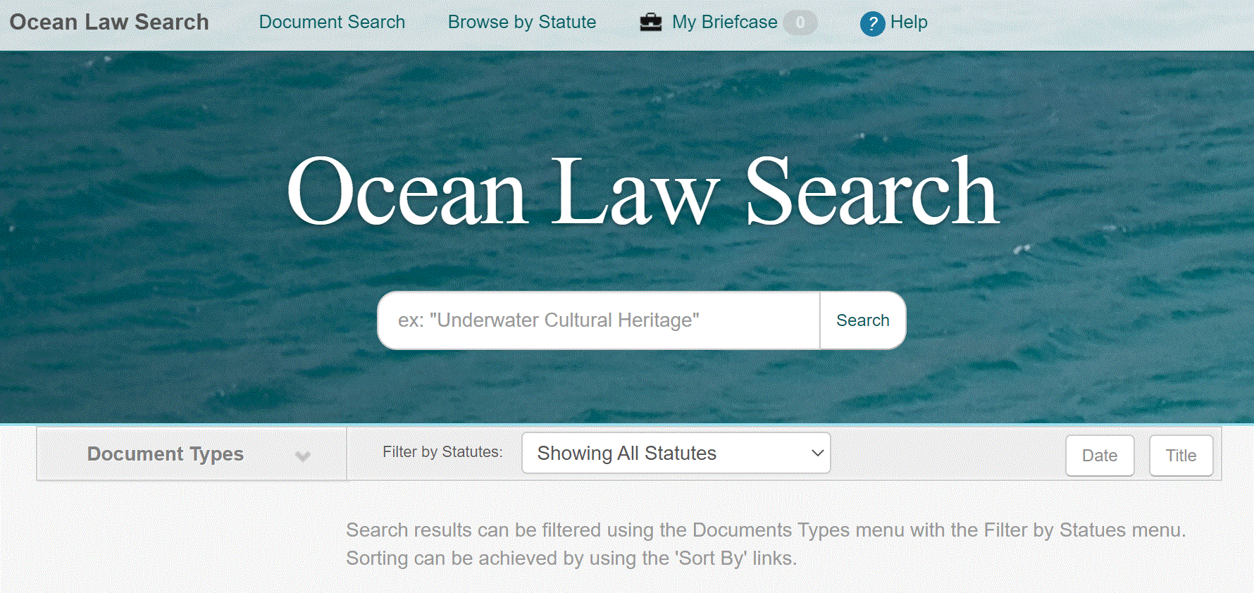
Ocean Law Search
Search legislative histories, environmental and historic preservation statutes, cases, and other legal documents pertaining to underwater cultural heritage. Tool by Bureau of Ocean Energy Management, NOAA Office for Coastal Management, NOAA Office of General Counsel.
Use Tool Environment, Ocean and Water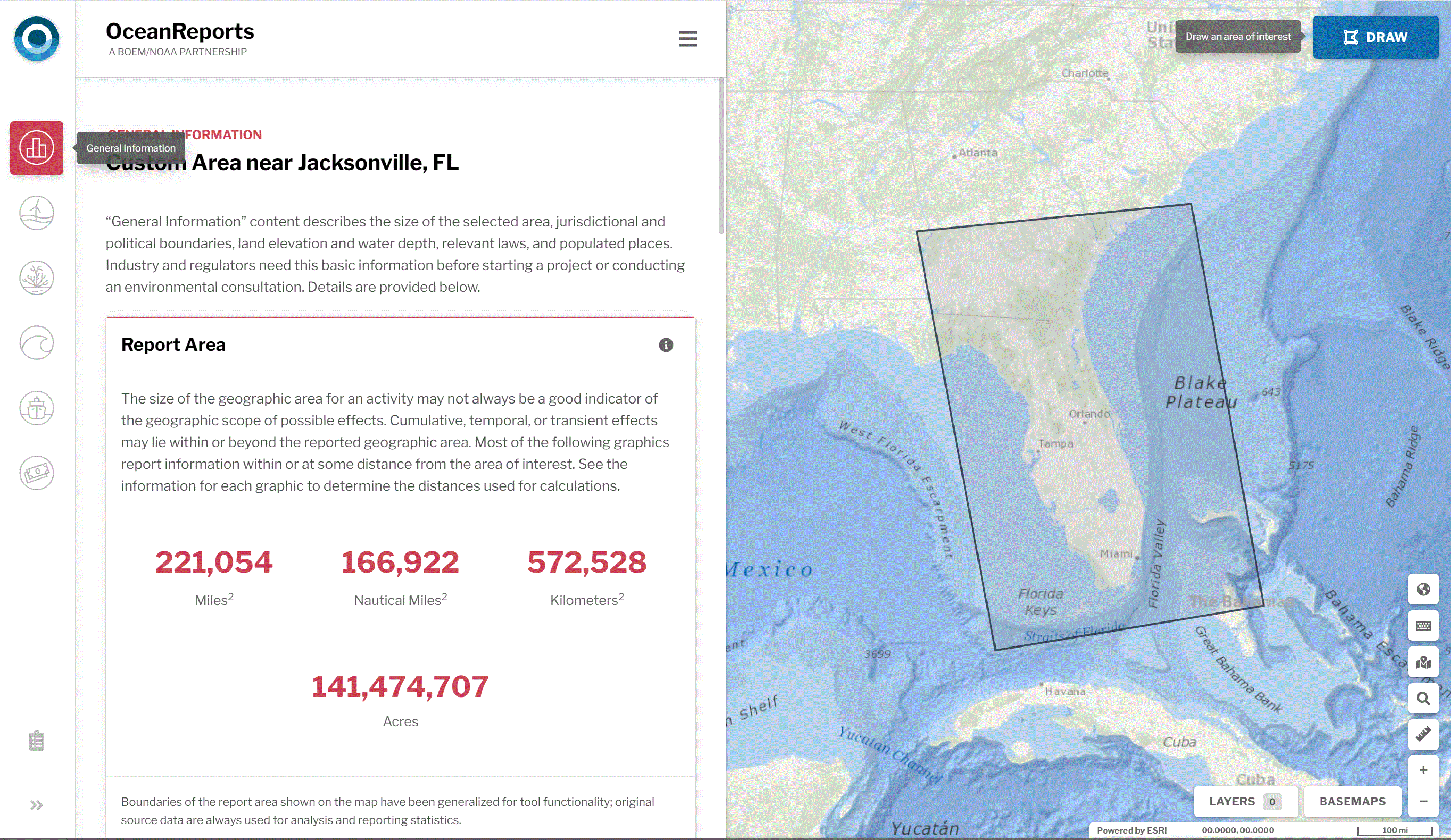
Ocean Reports
Visualize ocean/coastal information and generate reports. Tool by Bureau of Ocean Energy Management, NOAA National Centers for Coastal Ocean Science, NOAA Office for Coastal Management.
Use Tool Environment, Ocean and Water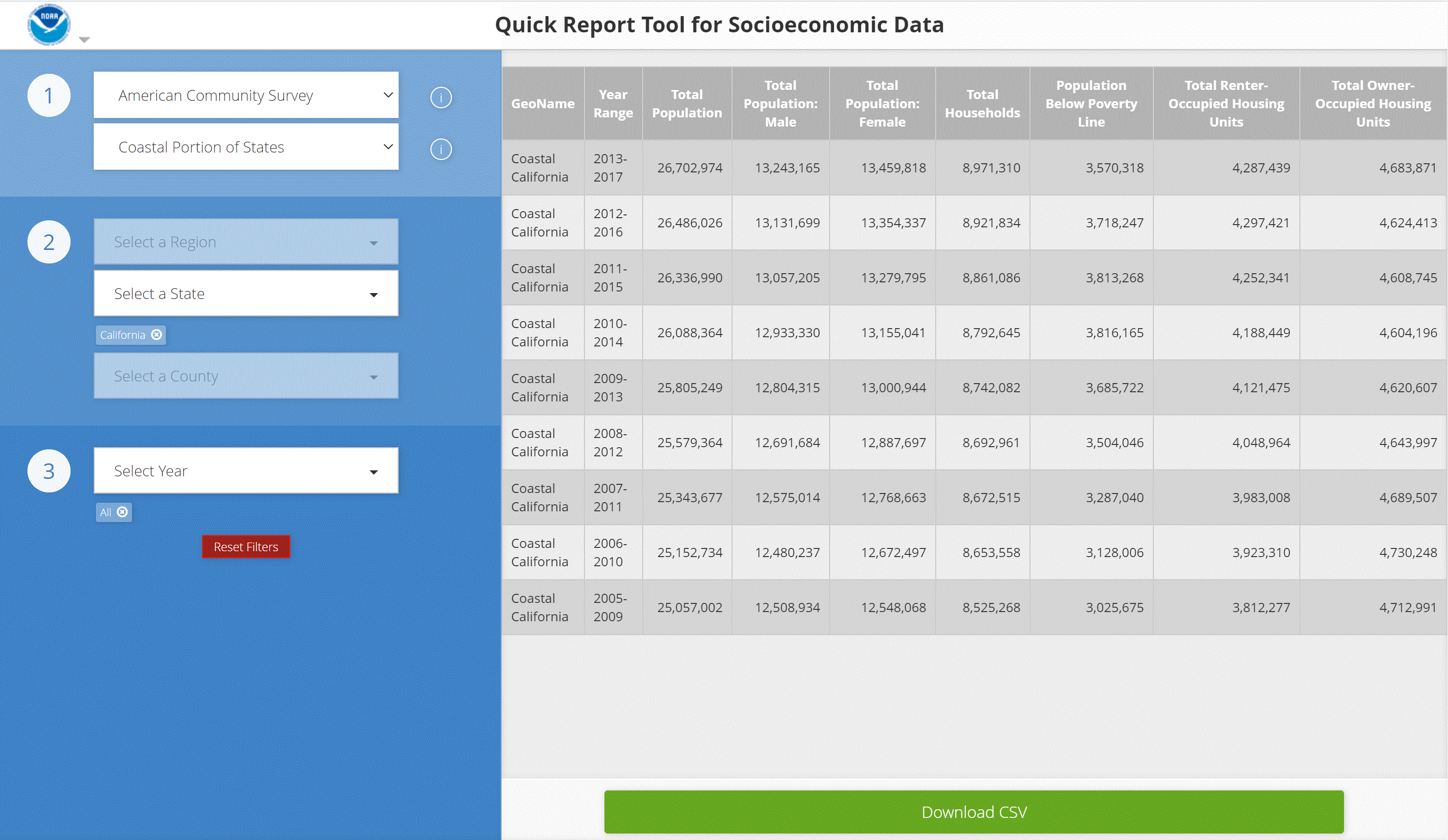
Quick Report Tool For Socioeconomic Data
Explore socioeconomic data for coastal states and jurisdictions. Tool by NOAA Office for Coastal Management.
Use Tool Demographic, Environment, Ocean and Water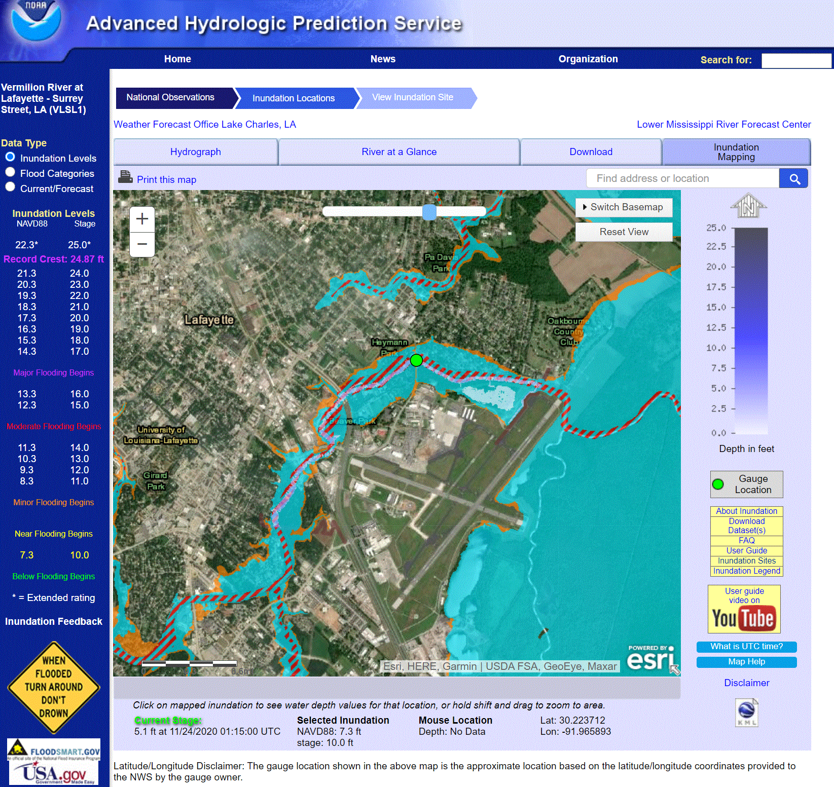
Riverine Flood Inundation Maps
See if your community is potentially vulnerable to flooding. Tool by NOAA National Weather Service.
Use Tool Emergency Management, Environment, Ocean and Water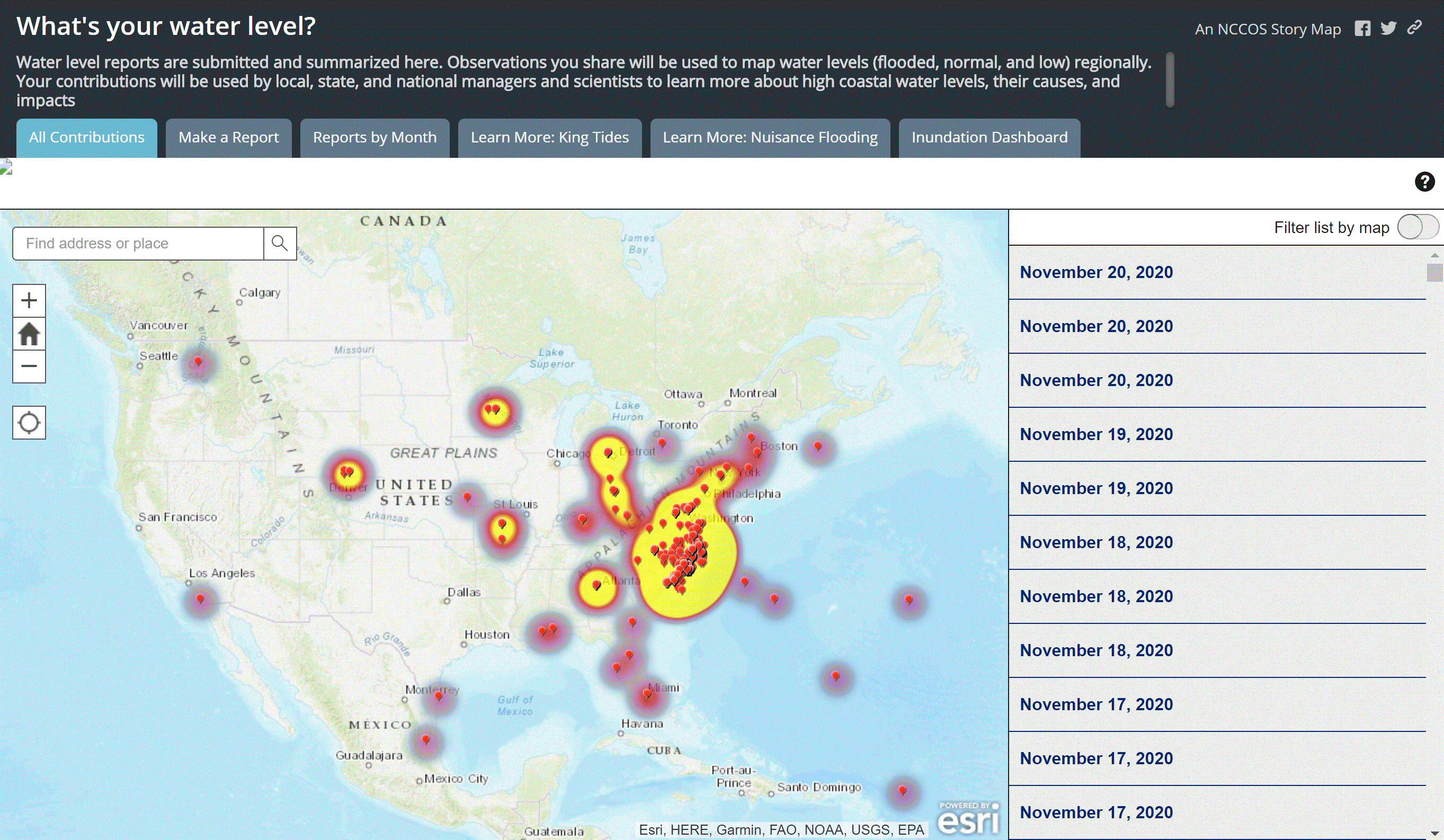
Water Level Reports
A summary story map of water level reports. Report and observe water levels using an interactive map. Tool by NOAA.
Use Tool Environment, Ocean and Water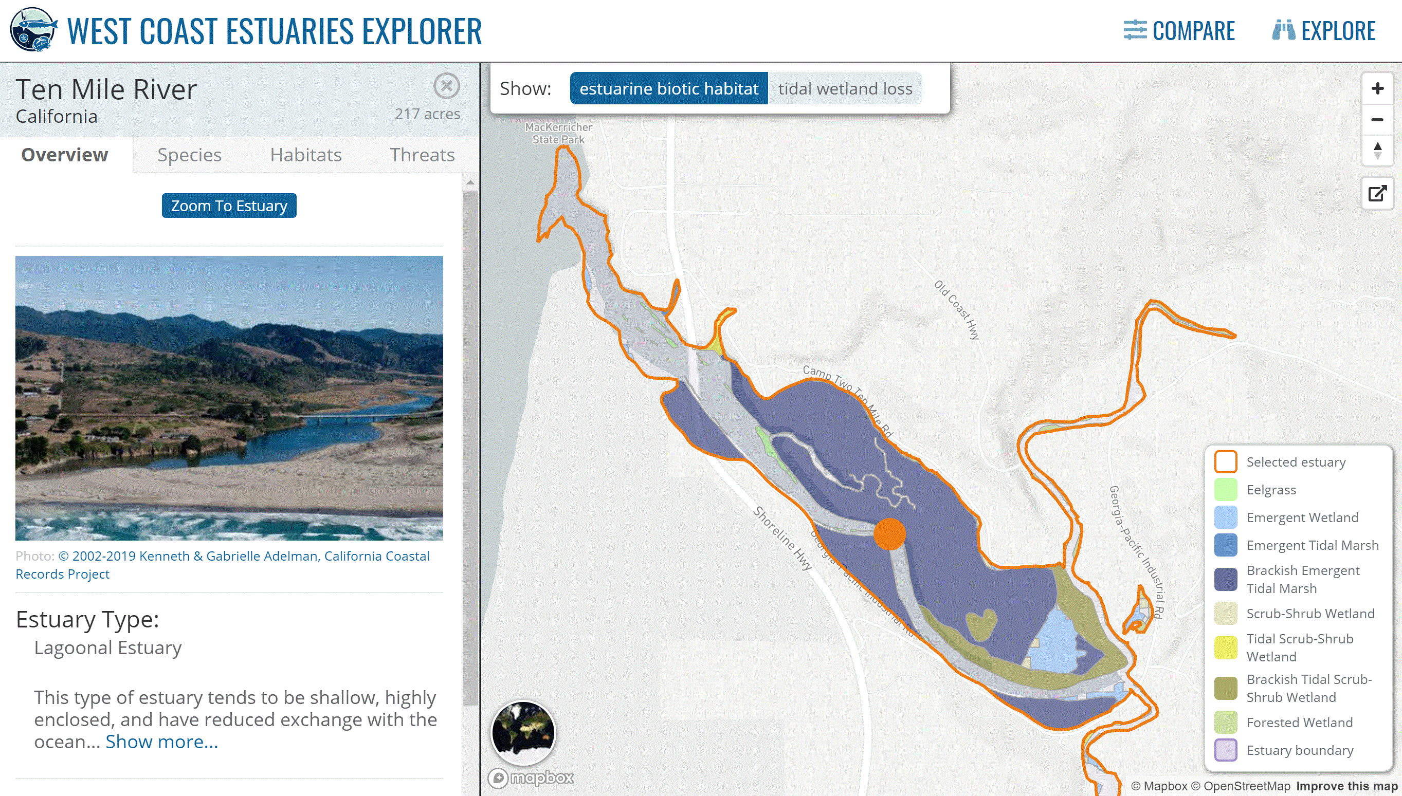
West Coast Estuary Explorer
Visualize, compare, and explore estuary data for the coasts of California, Oregon, and Washington. Tool by Pacific Marine and Estuarine Fish Habitat Partnership.
Use Tool Environment, Ocean and Water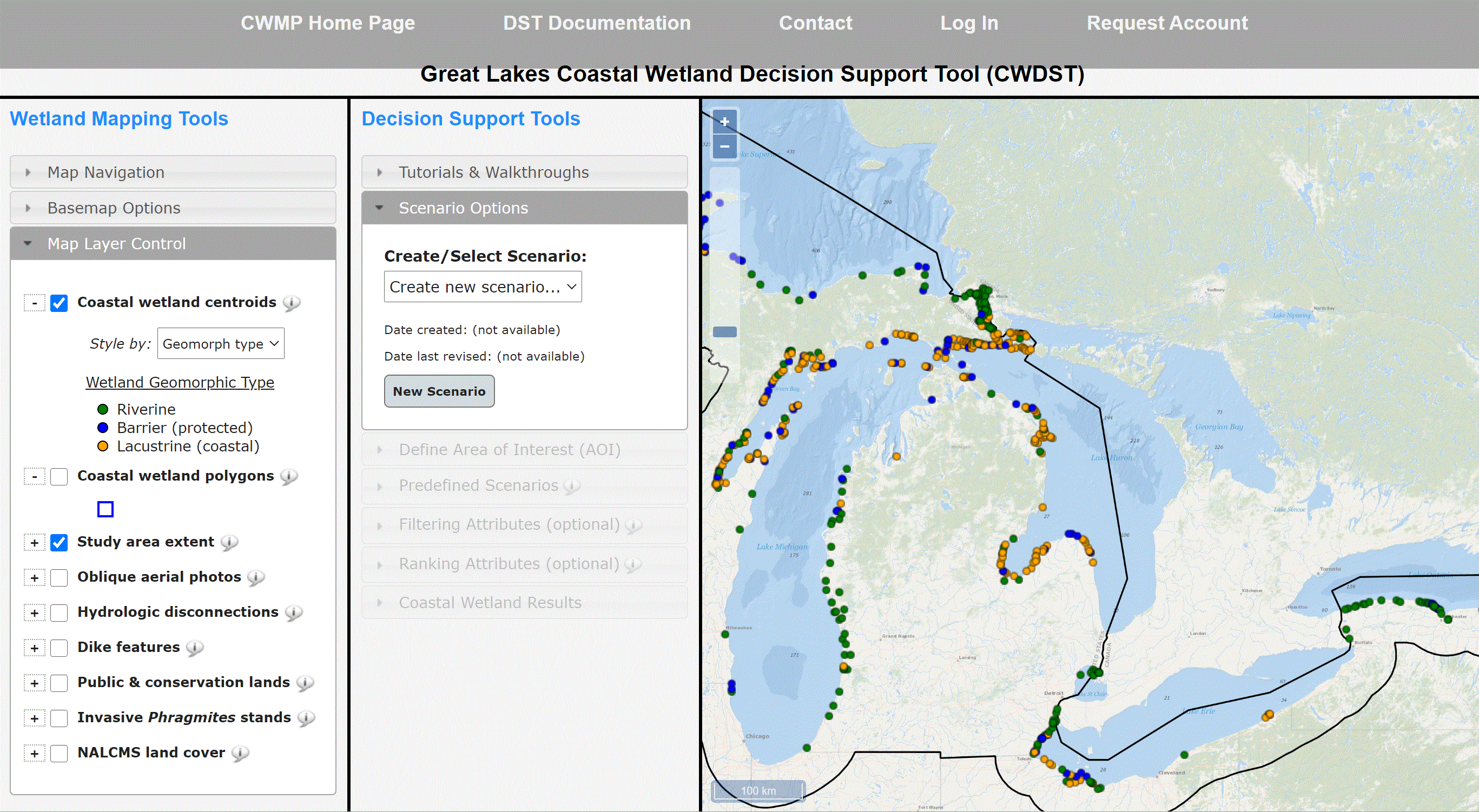
Great Lakes Coastal Wetland Decision-Support Tool
Interact with wetland information from the Great Lakes. Tool by Great Lakes Coastal Wetland Monitoring Program.
Use Tool Environment, Ocean and Water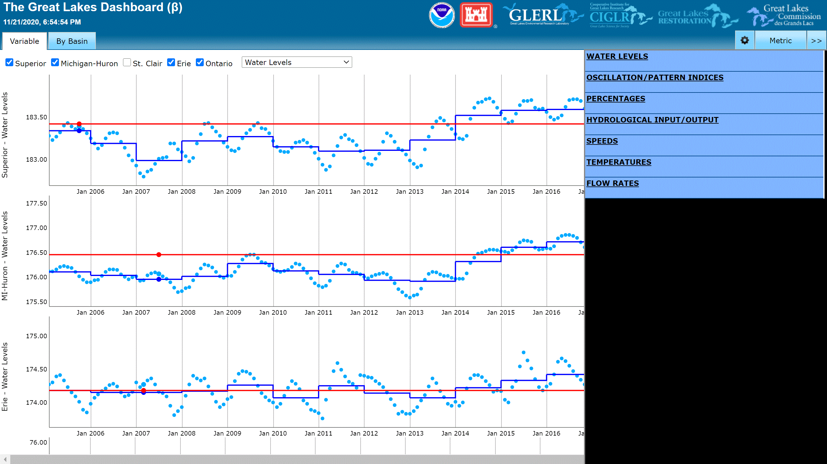
Great Lakes Water Level Dashboard
Visualize water level data in the great lakes using multiple charts. Tool by NOAA Great Lakes Environmental Research Laboratory.
Use Tool Environment, Ocean and Water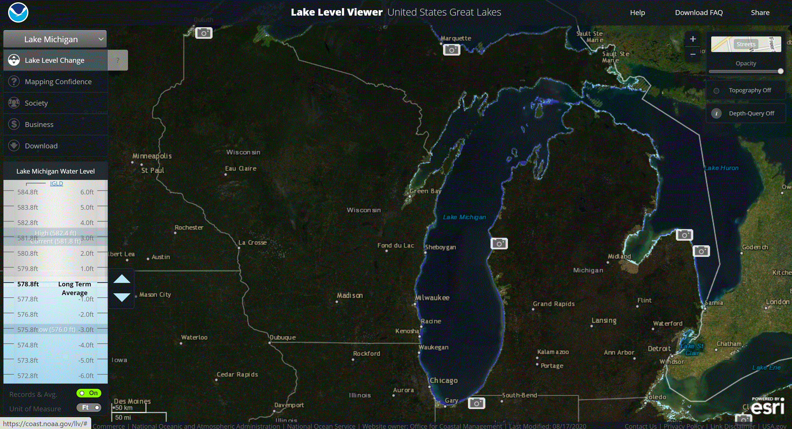
Lake Level Viewer
Visualize lake level changes for the Great Lakes. Tool by NOAA.
Use Tool Environment, Ocean and Water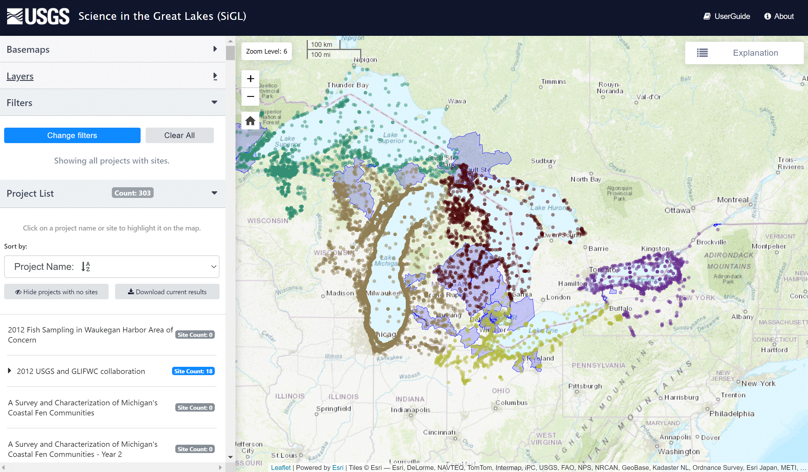
Science In The Great Lakes Mapper
Explore, visualize, and analyze monitoring and restoration activities in the Great Lakes. Tool by USGS.
Use Tool Environment, Ocean and Water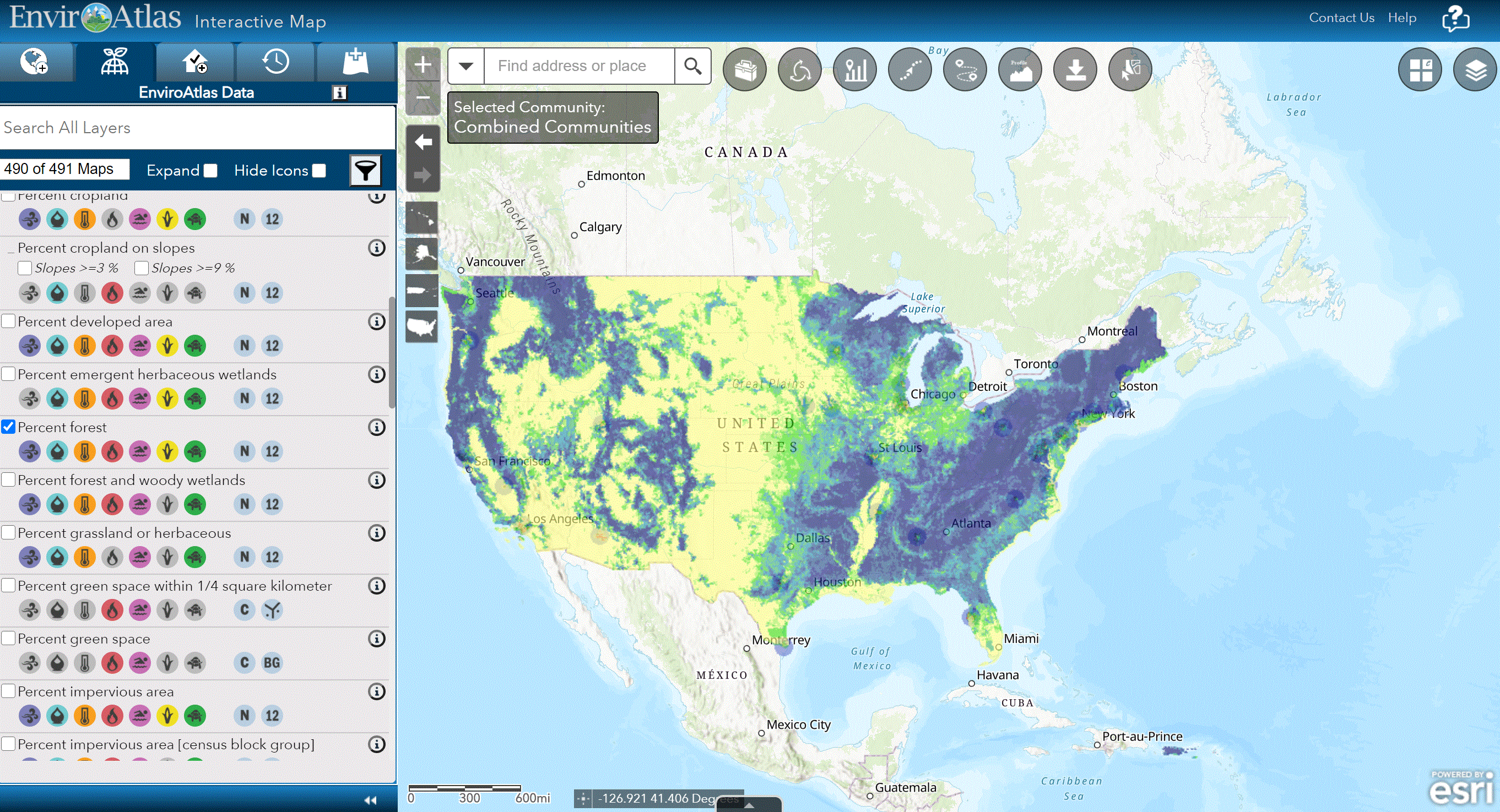
EnviroAtlas
Explore the benefits of nature using hundreds of data layers. Tool by EPA.
Use Tool Environment, Ocean and Water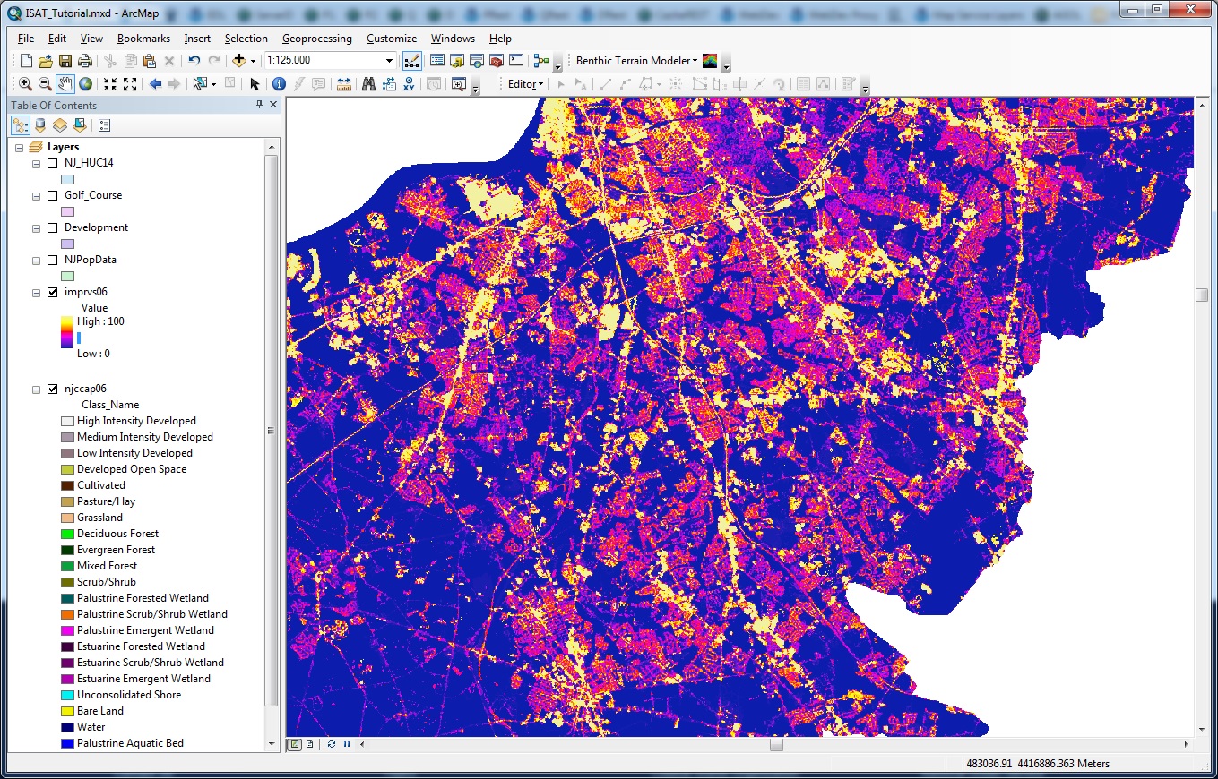
Impervious Surface Analysis Tool
Downloadable information for GIS enthusiasts. Use the information to view impervious surfaces across the U.S. Requires Download. Tool by NOAA.
Use Tool Environment, Land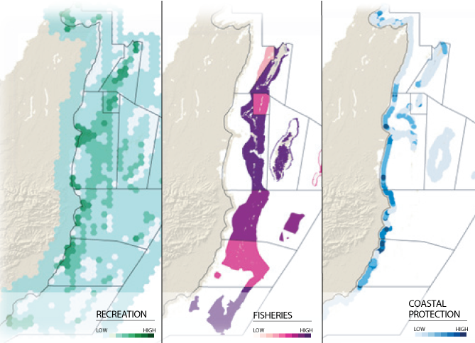
Integrated Valuation of Environmental Services and Tradeoffs
Map and visualize ecosystem data around nature. Requires Download and mapping software such as QGIS. Tool by Natural Capital Project.
Use Tool Environment, Ocean and Water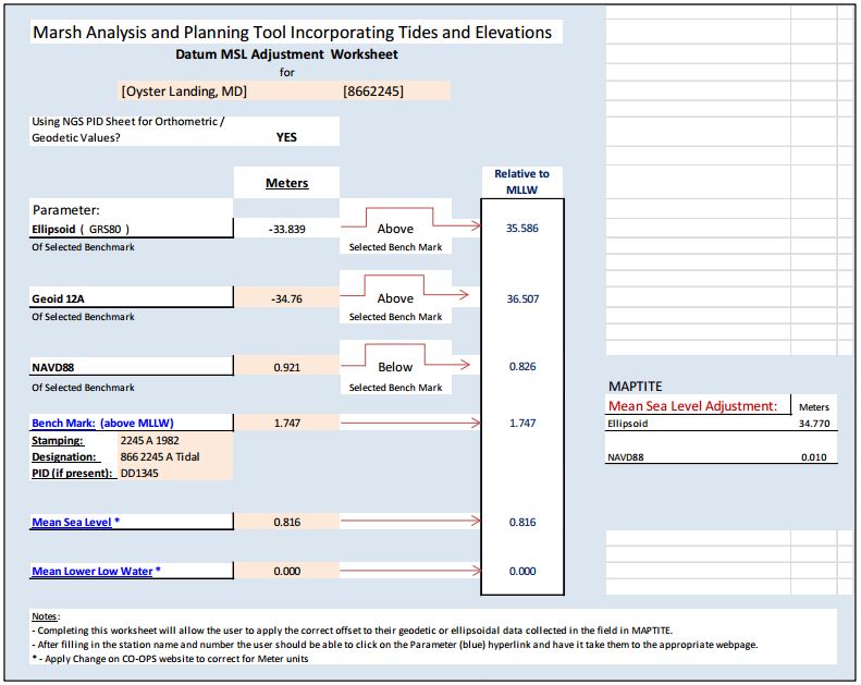
Maptite
Helps identify and visualize marsh restoration. Requires Download and mapping software such as QGIS. Tool by NOAA.
Use Tool Environment, Ocean and Water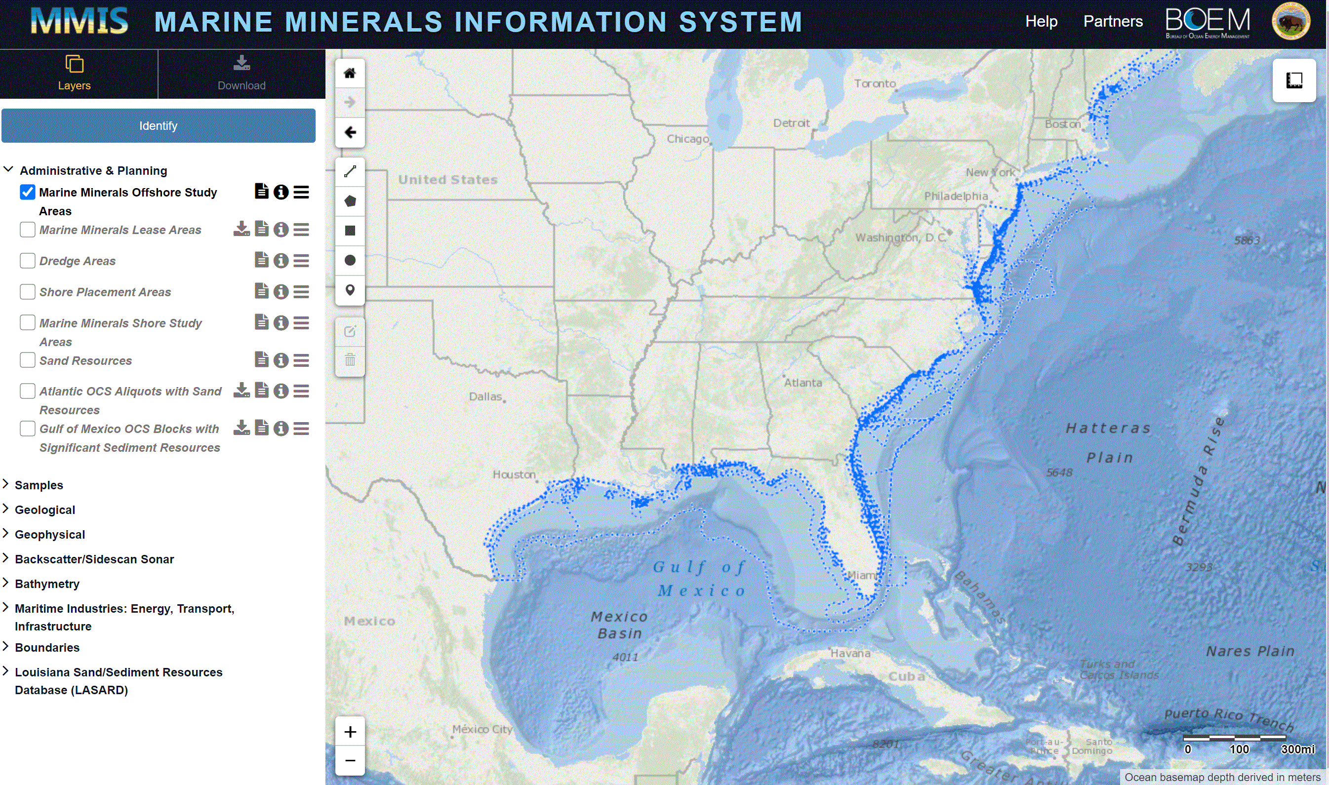
Marine Minerals Information System
Review information about offshore mineral resources. Tool by Bureau of Ocean Energy Management.
Use Tool Environment, Ocean and Water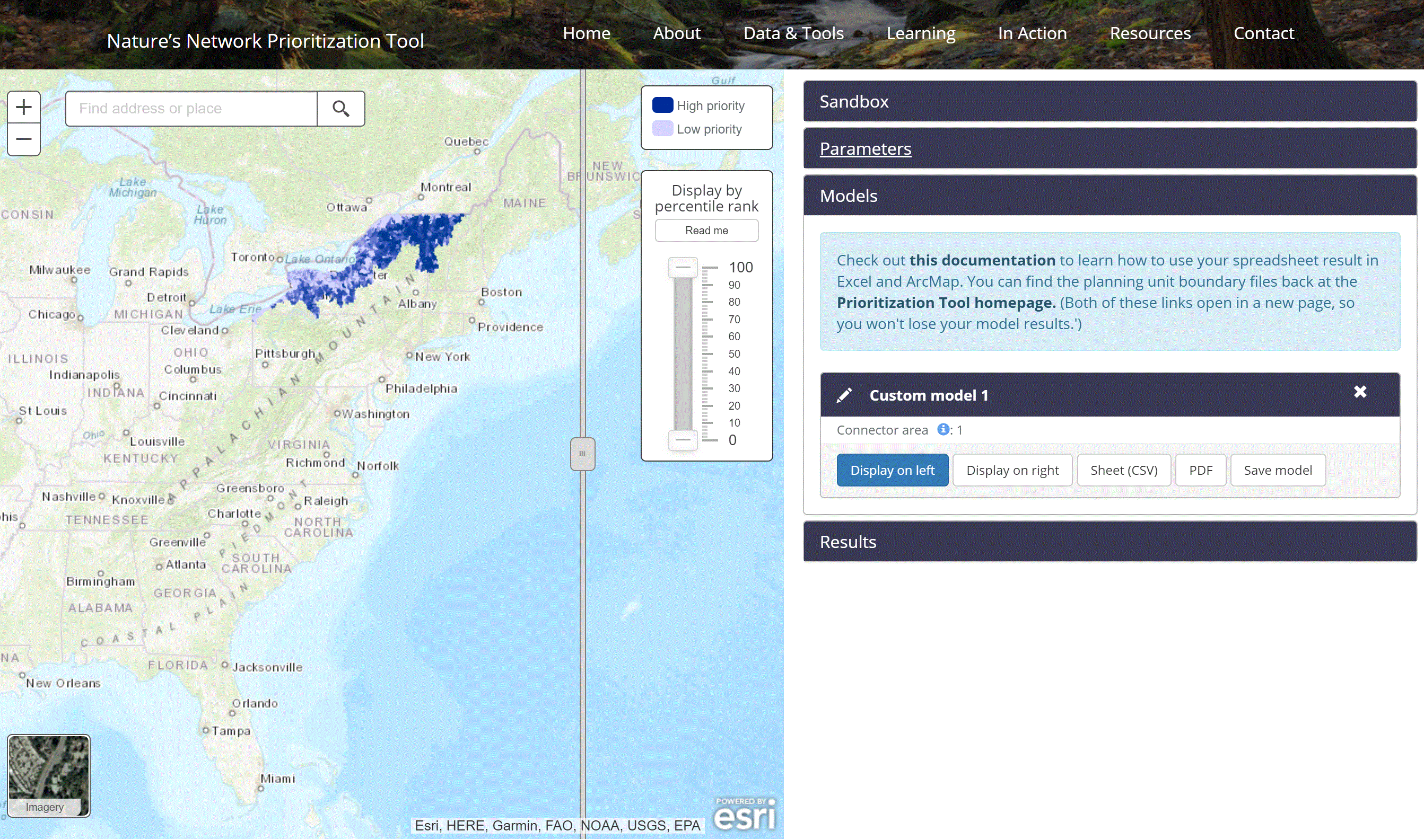
Nature’s Network Prioritization Tool
Explore opportunities to protect and restore endangered habitats. Tool by Chesapeake Conservancy, North Atlantic LCC, USFWS.
Use Tool Environment, Ocean and Water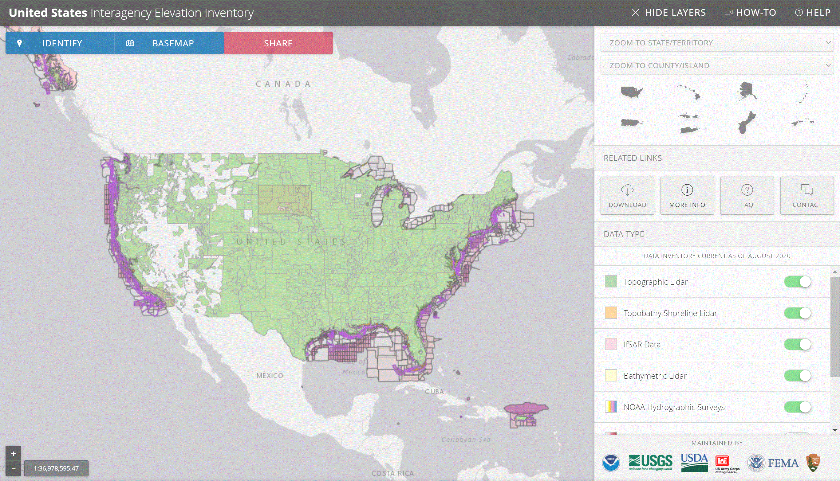
United States Interagency Elevation Inventory
Elevation data for the United States with collaboration from six different federal agencies. Tool by NOAA Office for Coastal Management, U.S. Geological Survey.
Use Tool Environment, Ocean and Water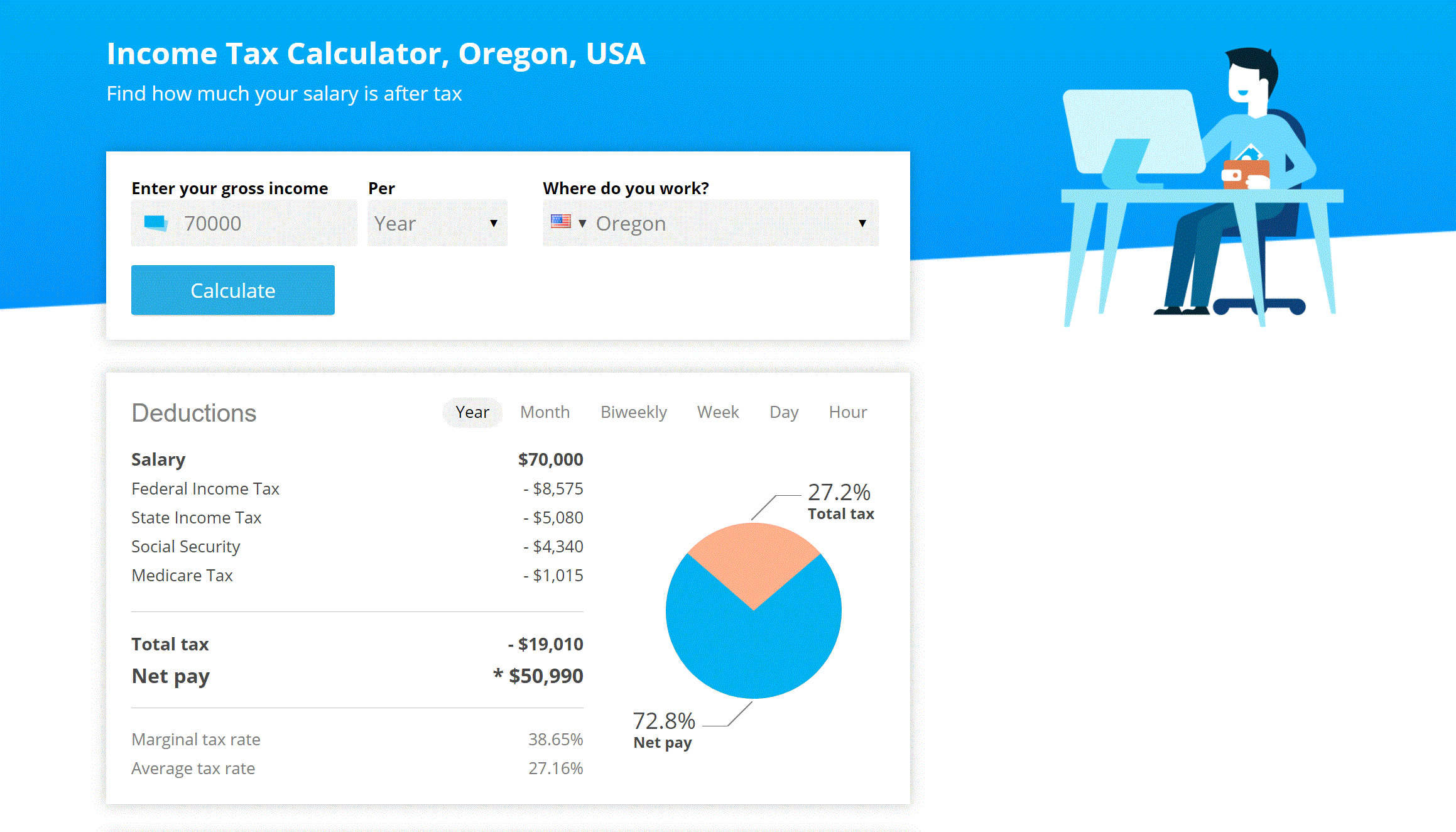
Income Tax Calculator
Explore your after tax salary by month, year, or paycheck. tool by NUEVOO.
Use Tool Financial, Calculators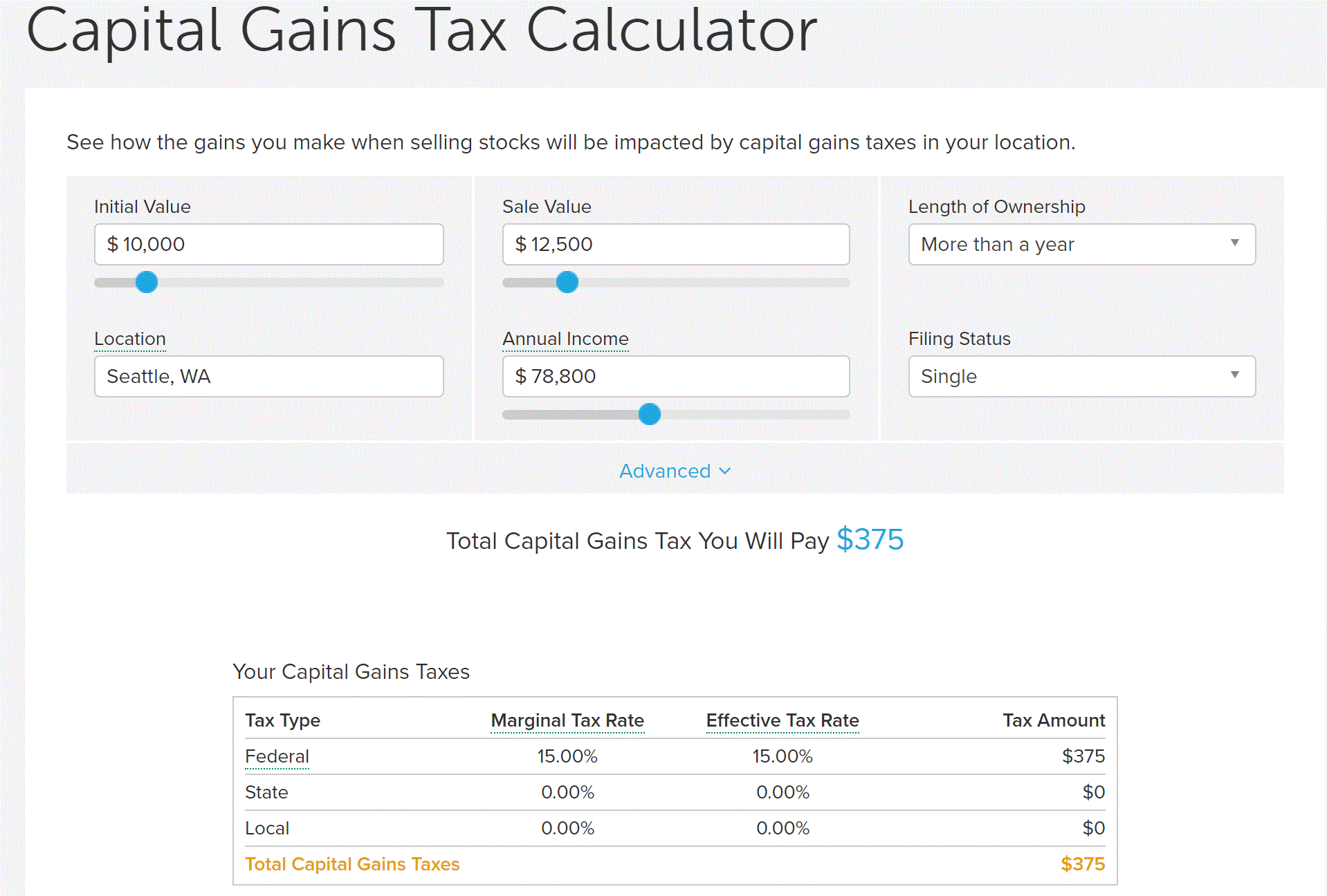
Capital Gains Tax Calculator
A plug and play Capital Gains Tax calculator. Tool by smartasset.
Use Tool Financial, Calculators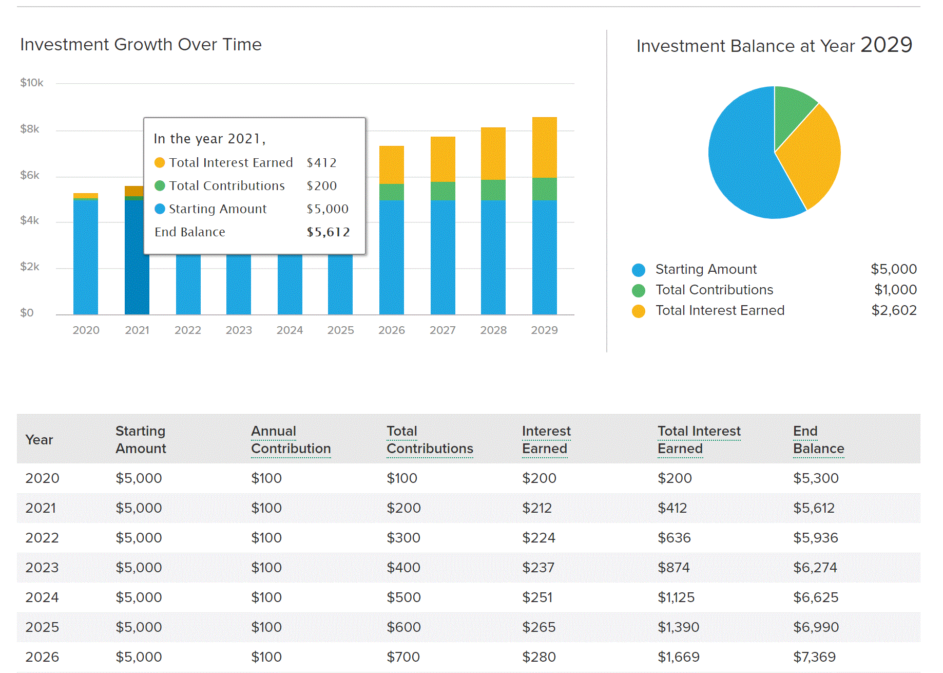
Investment Calculator
A plug and play investment calculator. Tool by smartasset.
Use Tool Financial, Calculators
Bank of America Mortgage Calculator
Use this calculator to estimate your monthly mortgage payments. Tool by Bank of America.
Use Tool Financial, Calculators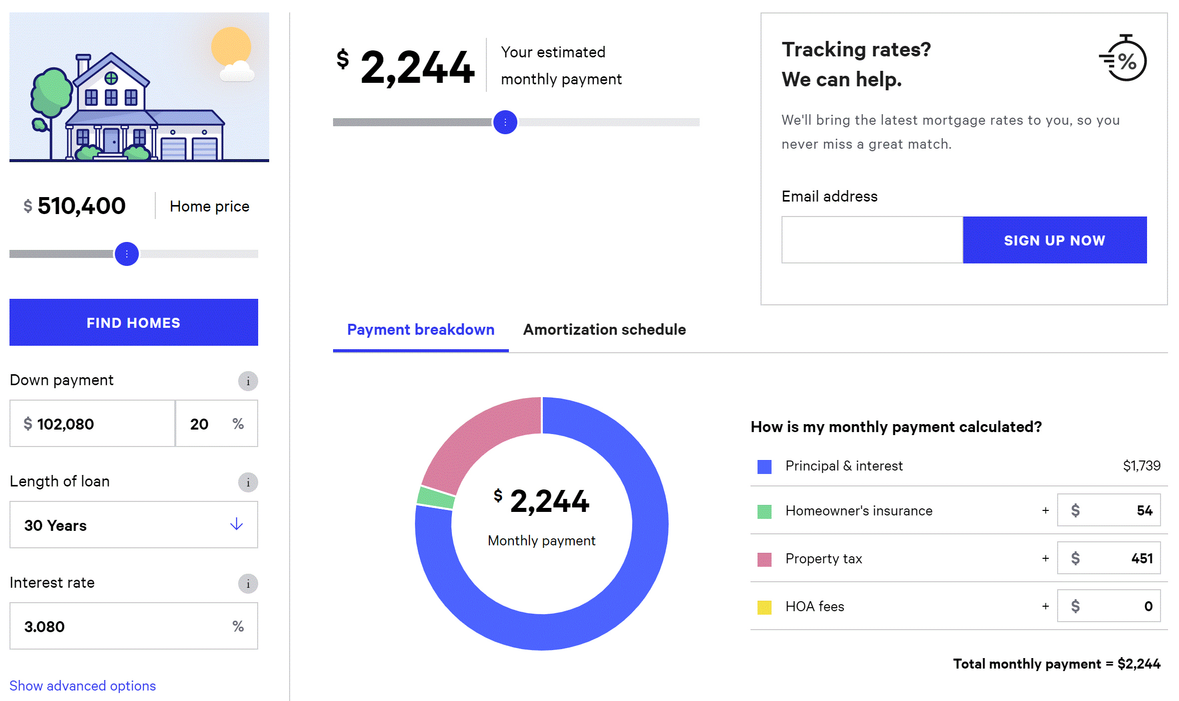
Bankrate Mortgage Calculator
Use this calculator to estimate your monthly mortgage payments. Tool by Bankrate.
Use Tool Financial, Calculators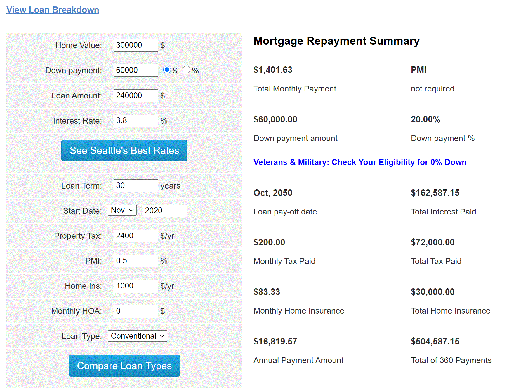
Mortgage Calculator
Use this calculator to estimate your monthly mortgage payments. Tool by mortgagecalculator.org.
Use Tool Financial, Calculators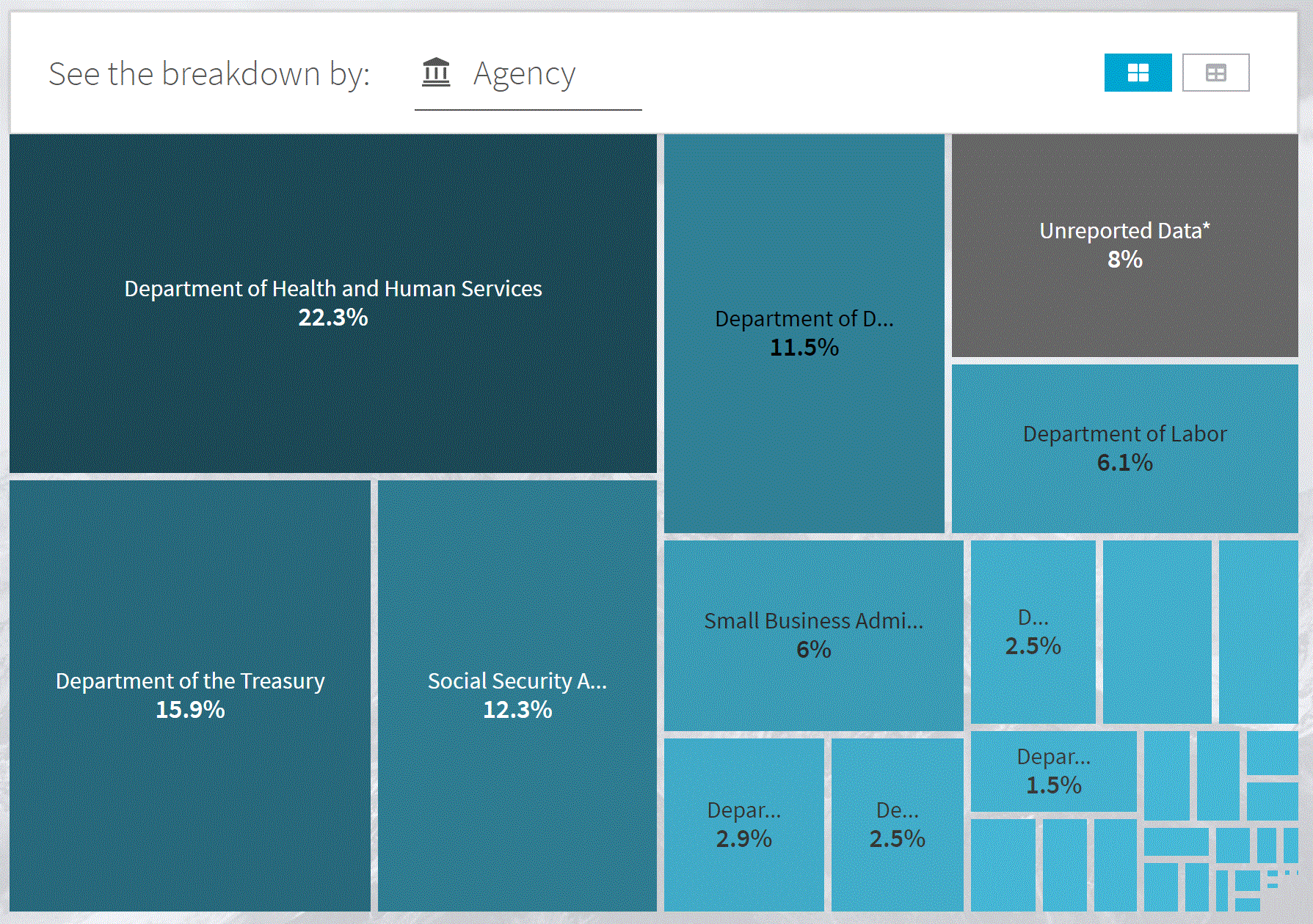
Spending Explorer: Agency
View federal government spending by agency such as Department of Labor, Department of Defense, and Social Security Administration. Tool by USAspending.gov.
Use Tool Economic, Financial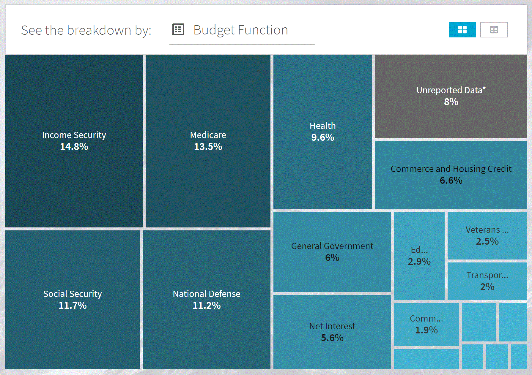
Spending Explorer: Budget Function
View federal government spending by purpose such as Medicare, National Defense, and Social Security. Tool by USAspending.gov
Use Tool Economic, Financial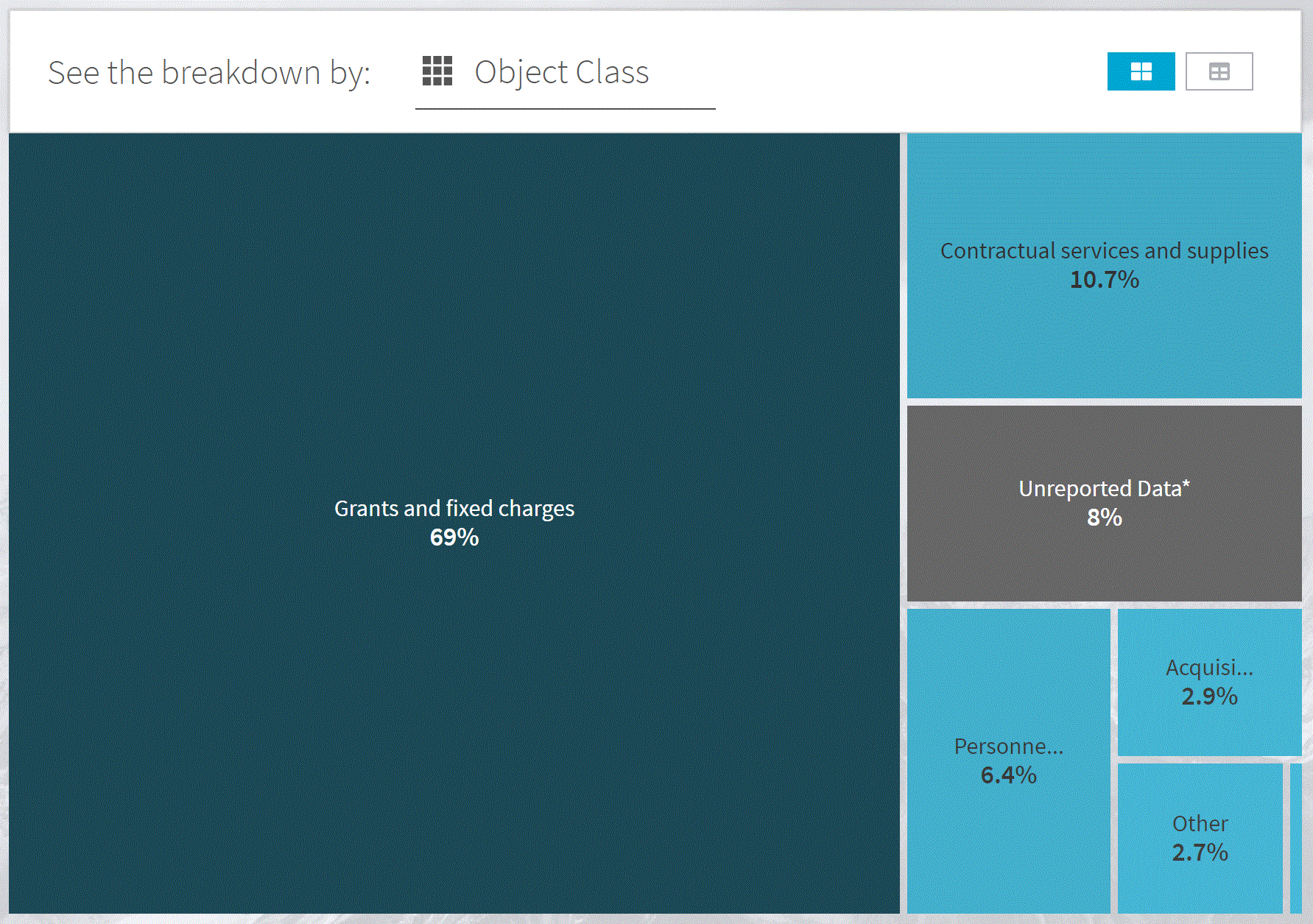
Spending Explorer: Object Class
View federal government spending by object class such as contractual services and supplies, grants and fixed charges, and personal compensation and benefits. Tool by USAspending.gov
Use Tool Economic, Financial
Health Insurance Interactive Data Tool
Explore data from the small area health insurance estimates (SAHIE) program using an interactive application. Tool by U.S. Census Bureau.
Use Tool Health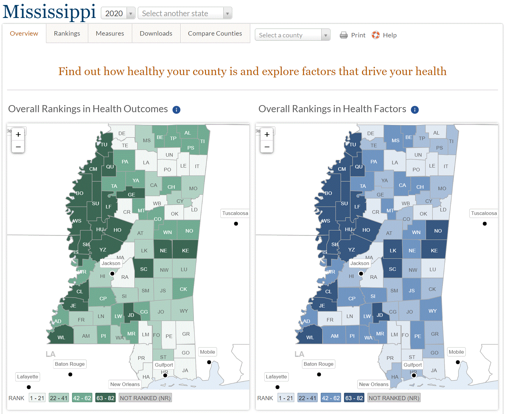
How Healthy Is Your Community
Find out the health of your county. Tool by Countyhealthrankings.org.
Use Tool Demographic, Health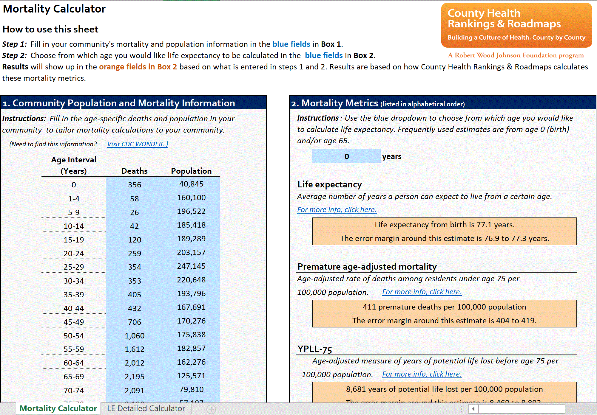
Mortality And Life Expectancy Calculator
Download this excel calculator to calculate your community’s mortality and life expectancy. Tool by Countyhealthrankings.org.
Use Tool Health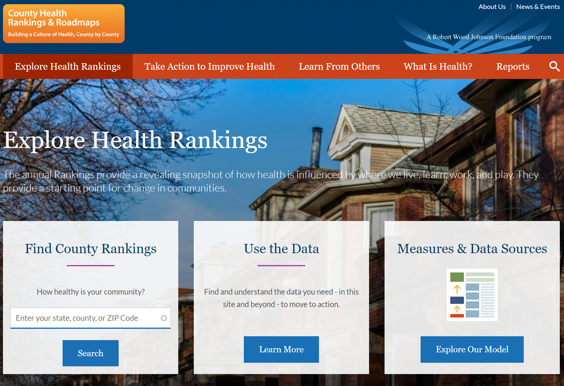
Explore Health Rankings
Explore health rankings in your county. The bottom of the page also lets you compare counties. Tool by Countyhealthrankings.org.
Use Tool Demographic, Health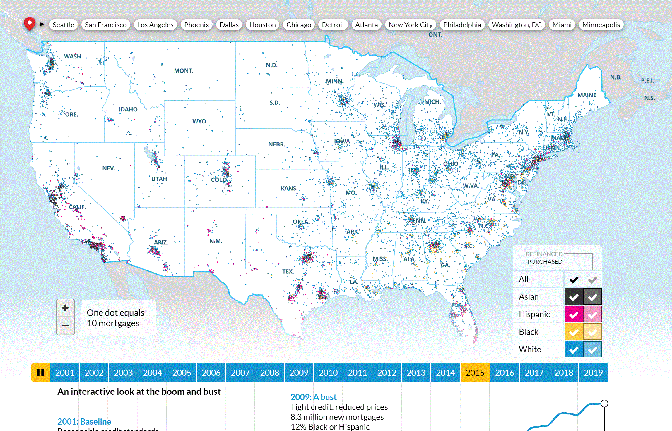
Housing Boom And Bust
Use an interactive tool to explore the housing boom and bust in the U.S. Tool by Urban Institute.
Use Tool Housing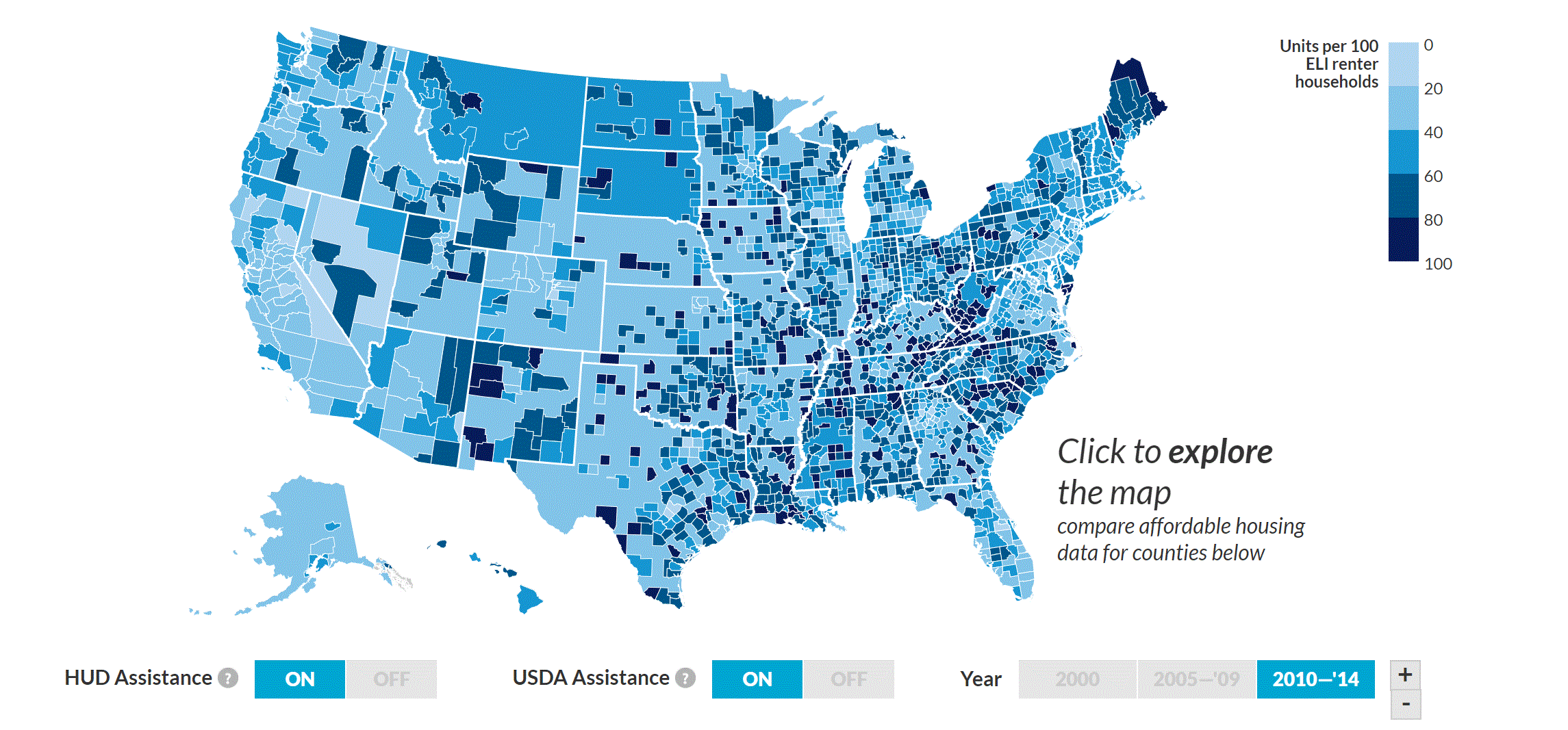
Mapping America’s Rental Housing Crisis
Visualize the affordable housing crisis at the county level. Tool by Urban Institute.
Use Tool Housing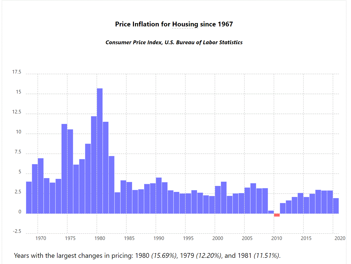
Price Inflation for Housing Since 1967
Housing Inflation Calculator. Tool by in2013dollars.com.
Use Tool Financial, Housing
iCasualties.org
Maps U.S. deaths in Iraq and Afghanistan. Tool by iCasualties.org, Iraq Coalition Casualty Count.
Use Tool Military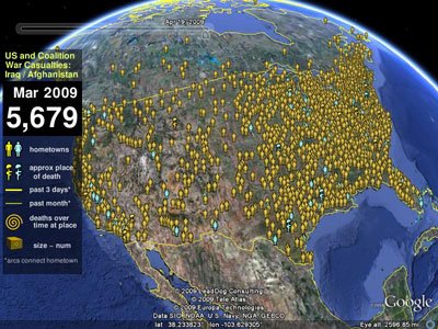
Map The Fallen
An outdated but powerful tool that uses Google Earth to map U.S. service members lost in Iraq and Afghanistan. Tool by Map the Fallen.
Use Tool Military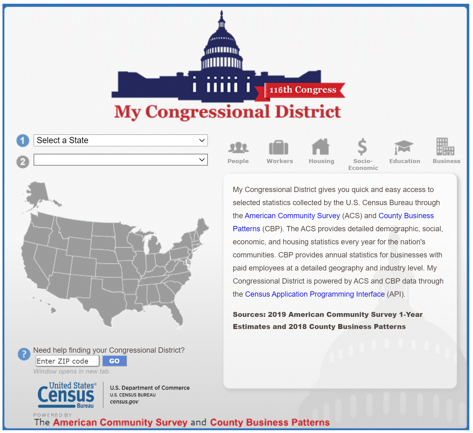
My congressional District
Observe statistics for your congressional districts. Tool by U.S. Census Bureau.
Use Tool Demographic, Political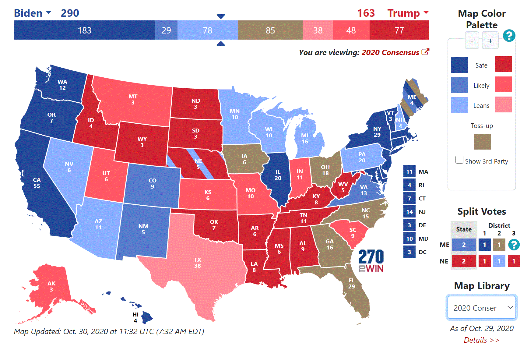
Presidential Election Interactive Map
A simple interactive electoral map. Tool by 270towin.com.
Use Tool Political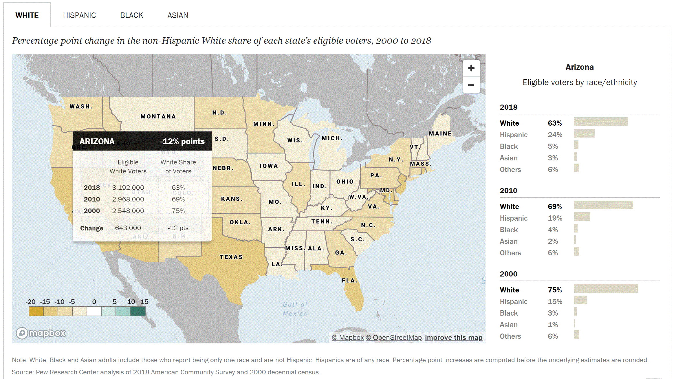
The Changing Electorate
Visualize the changing ethnic and racial makeup of the entire U.S. electorate. Tool by Pew Research Center.
Use Tool Political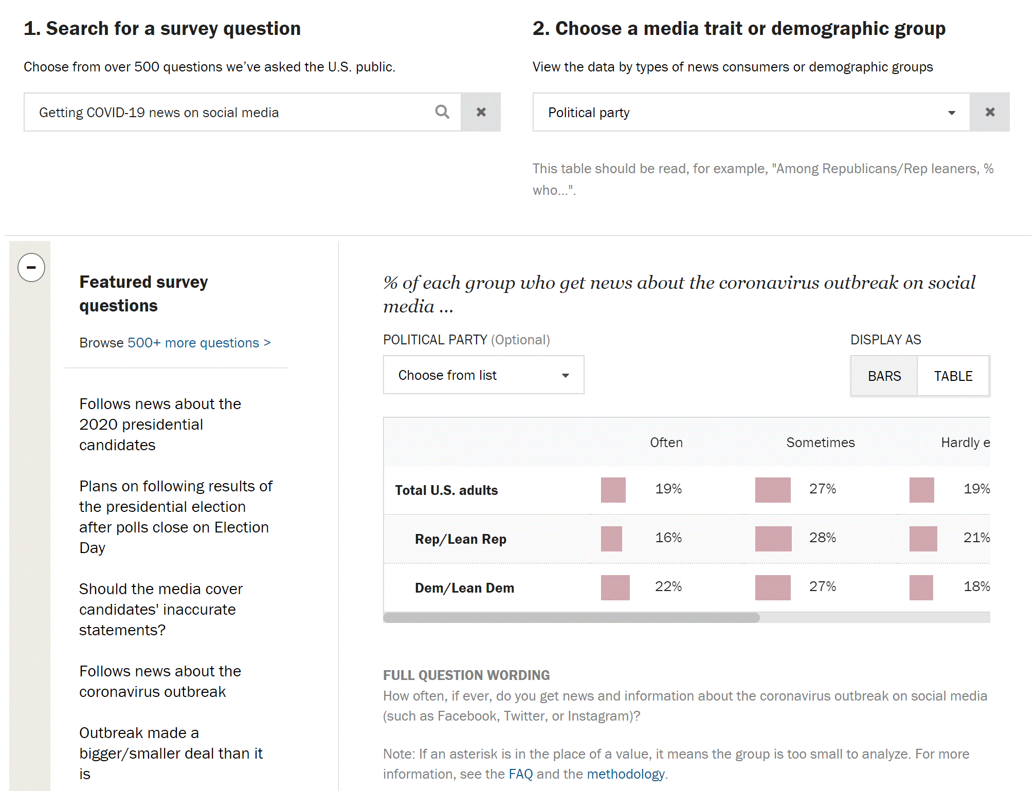
American News Pathway Project
Use an interactive tool to explore survey questions relating to public news habits such as the COVID-19 pandemic, the ongoing protests, and the 2020 presidential election. Tool by Pew Research Center.
Use Tool Political, Media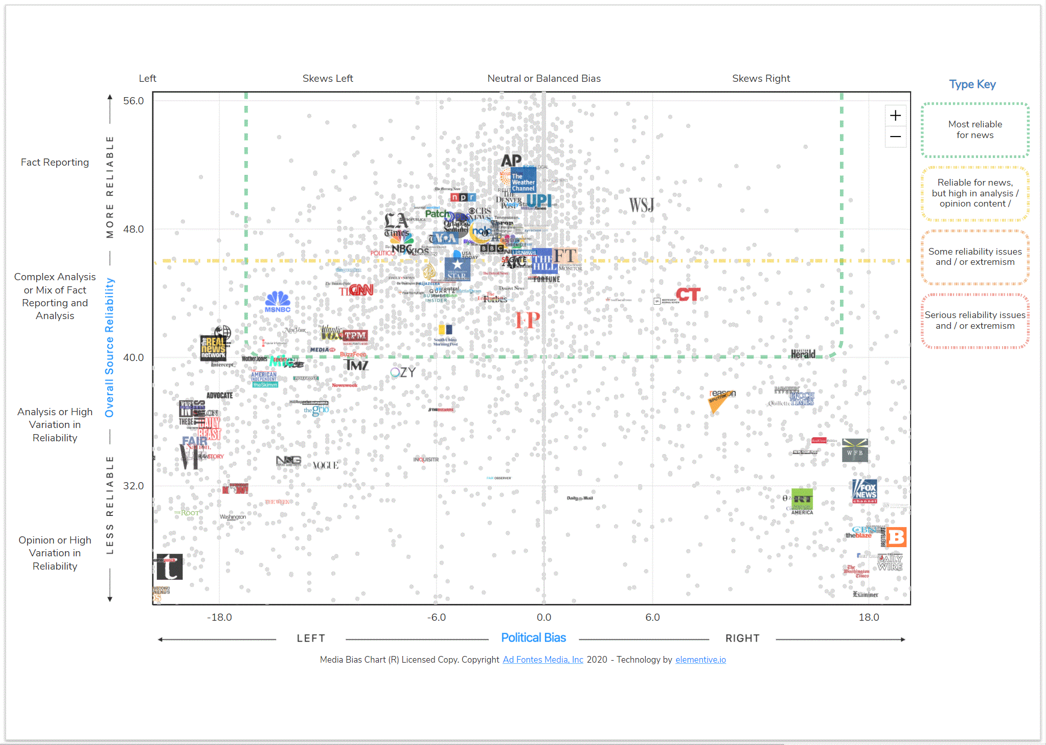
Media Bias Chart
One of the only interactive charts that displays media bias. Zoom in and see how biased a news organization is or search the specific news organization you’re looking for. Tool by Ad Fontes Media.
Use Tool Political, Media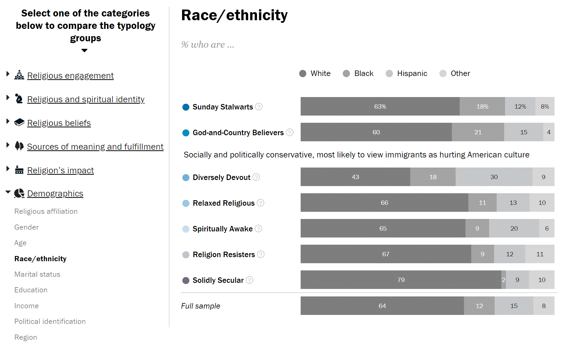
How the Religious Typology Groups Compare
Explore seven separate like-minded religious groups and compare how they think on demographics and other key topics. Tool by Pew Research Center.
Use Tool Religion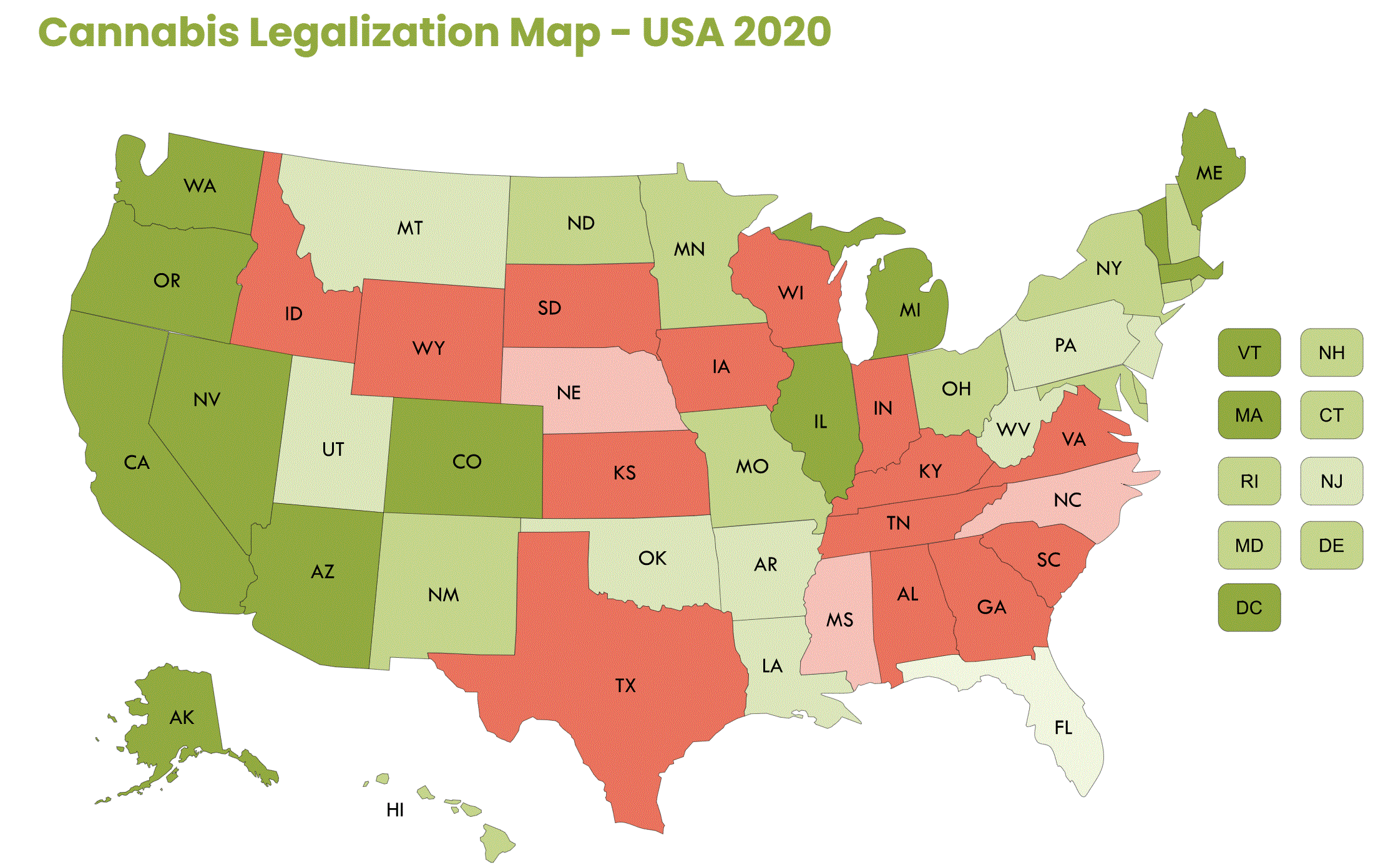
Cannabis Legalization By State
See the cannabis law of every State using an easy, interactive tool. Tool by THC Net
Use Tool Social Justice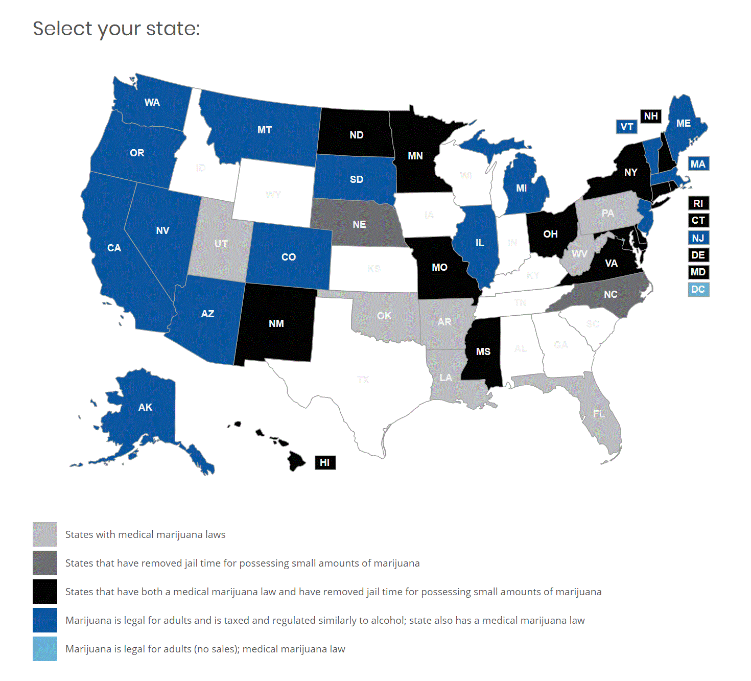
Cannabis State Policy Map
Select your State and see detailed synopsis/cannabis updates. Tool by Marijuana Policy Project.
Use Tool Social Justice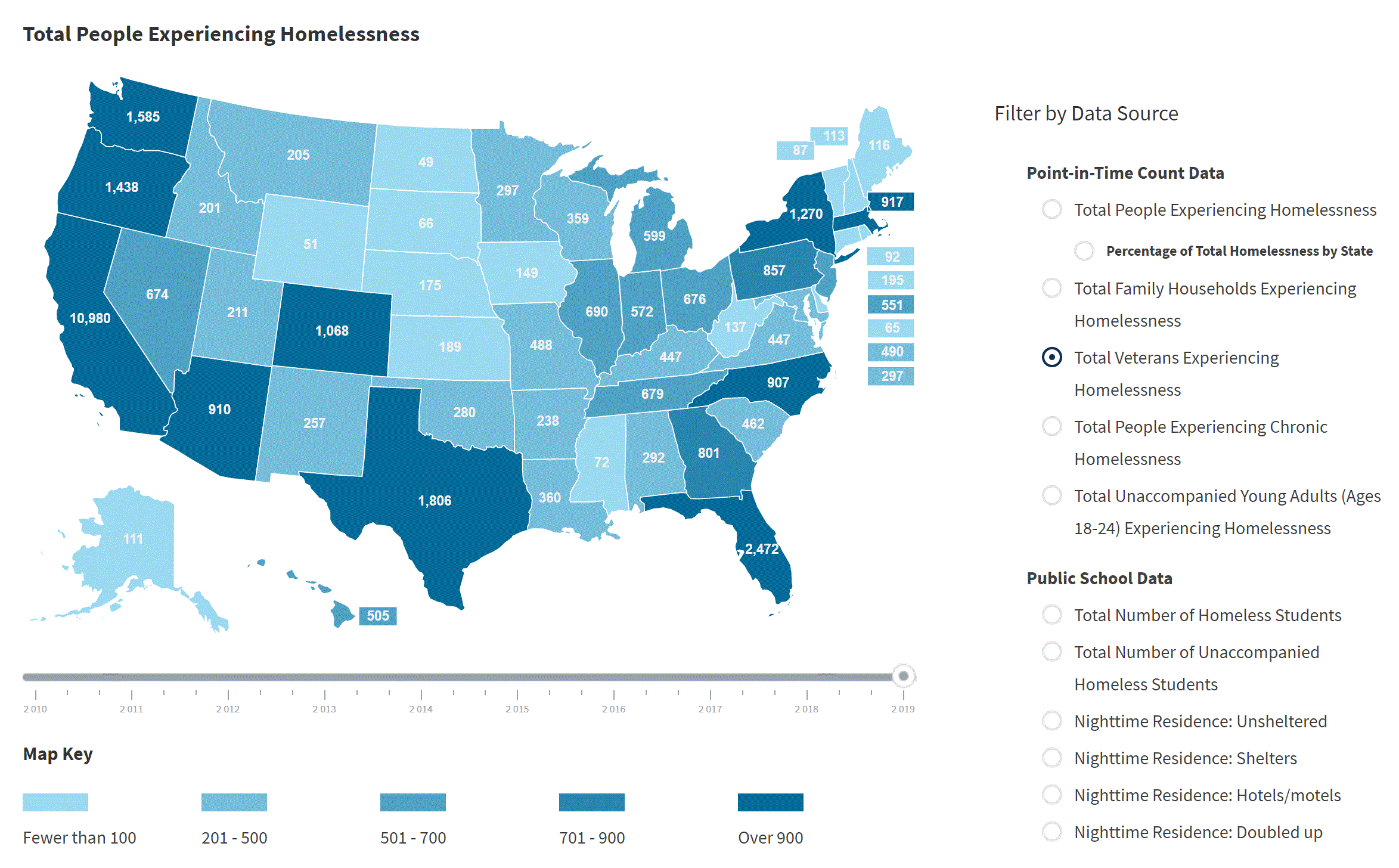
Homelessness Statistics By State
Explore individuals and families experiencing homelessness in the United States. Tool by United States Interagency Council on Homelessness.
Use Tool Social Justice
Who Shares Your Views On Race
Using 11 different questions, see how your views on race compare with the Nation. Tool by Pew Research Center.
Use Tool Social Justice
Mapnificent
Start at the city center and see how long it would take you to get somewhere. Tool by Mapnificent.net.
Use Tool Transportation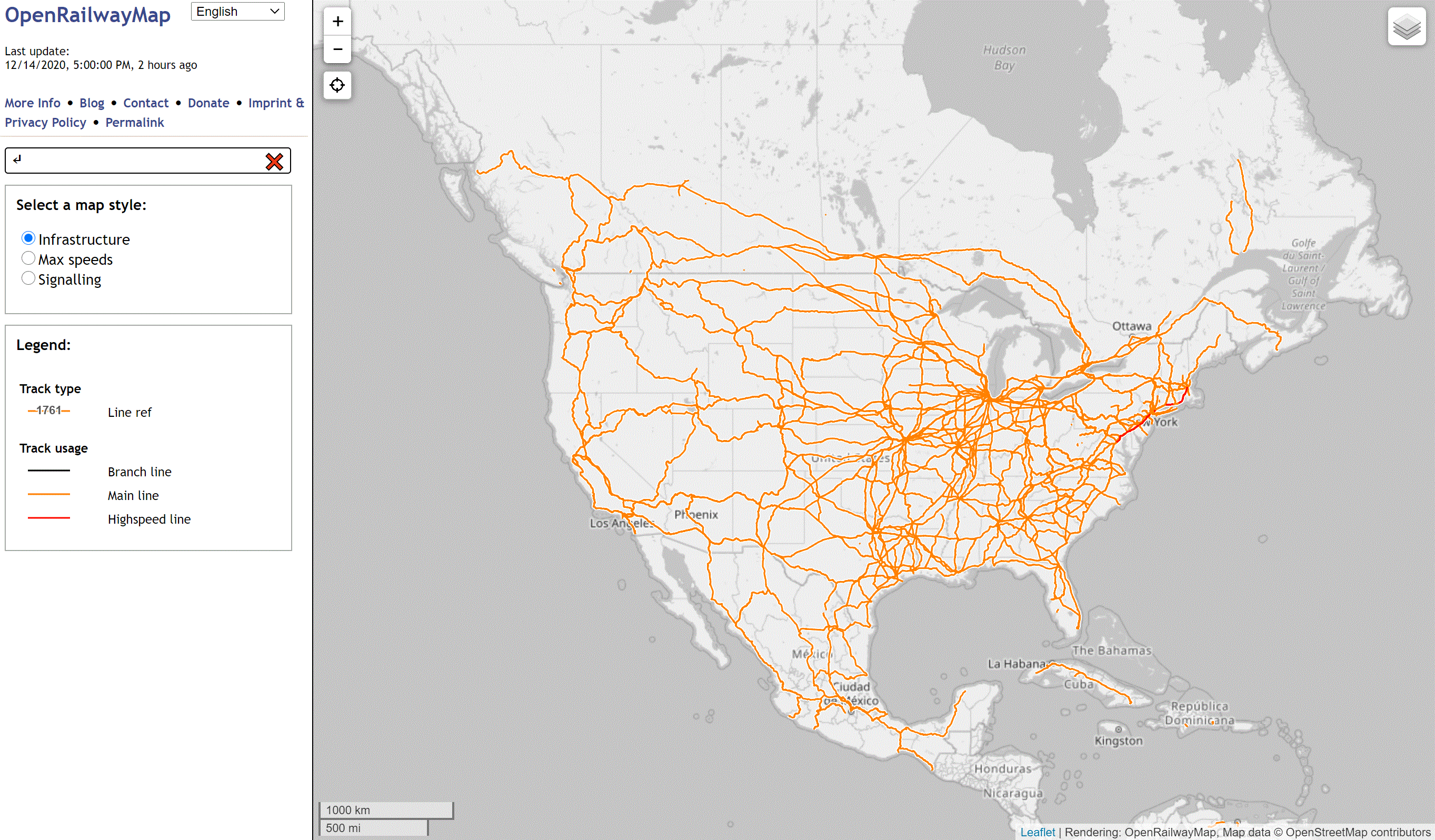
Open Railway Map
Select a map style and explore track type, track usage, and operating site. Tool by openrailwaymap.org.
Use Tool Transportation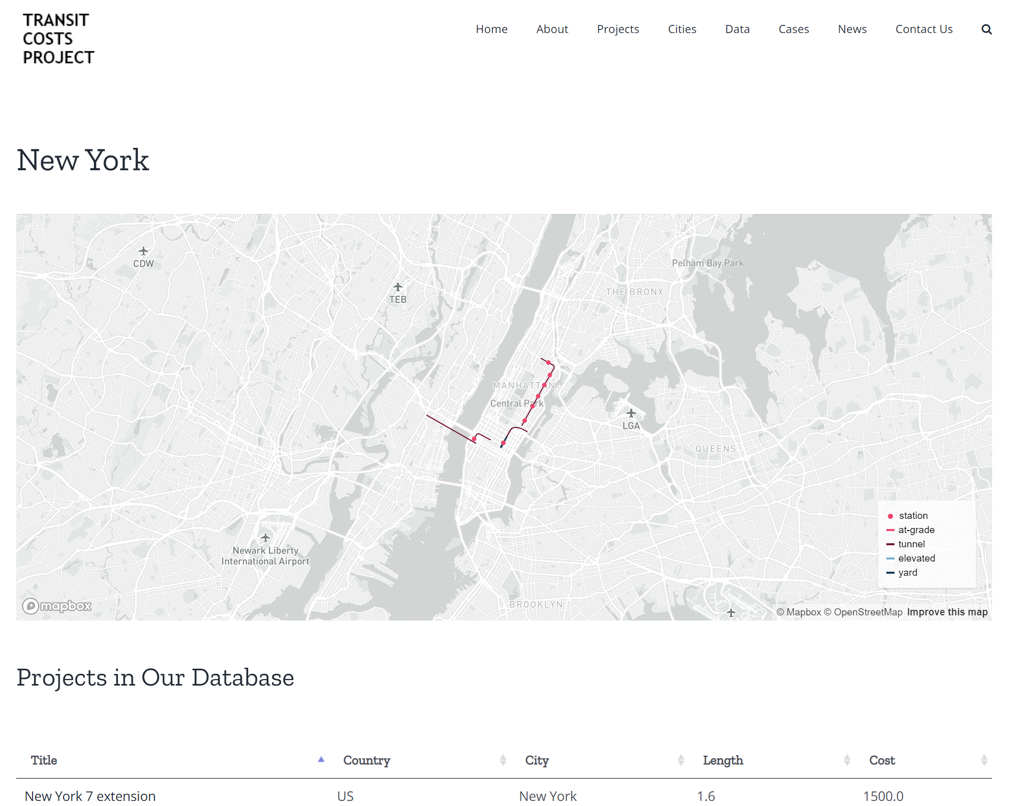
Transit Costs
Explore why transit-infrastructure projects differ so greatly across the globe. Tool by Transit Costs Project.
Use Tool Transportation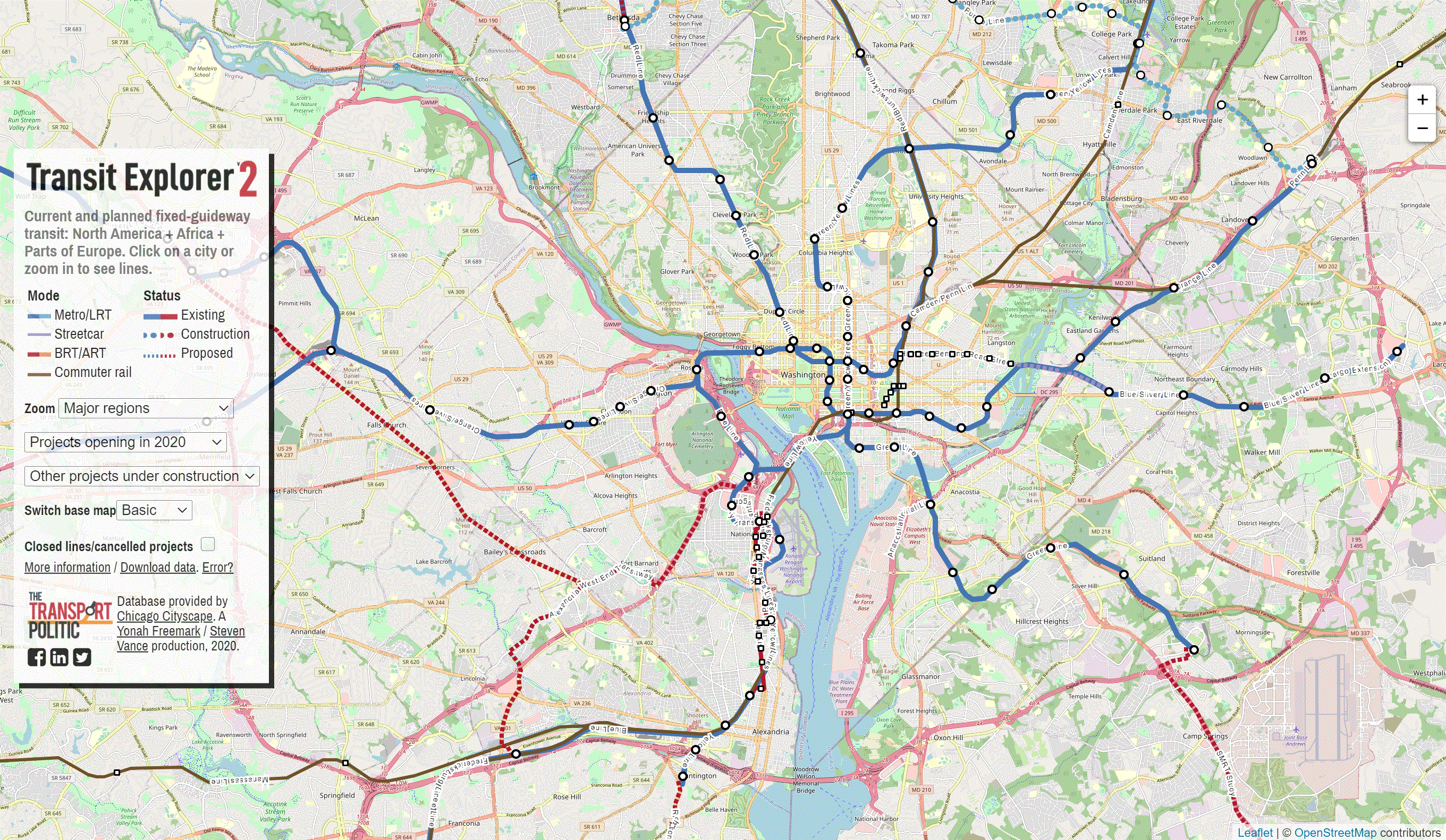
Transit Explorer
Find current and planned fixed guideway transit. Tool by The Transport Politic.
Use Tool Transportation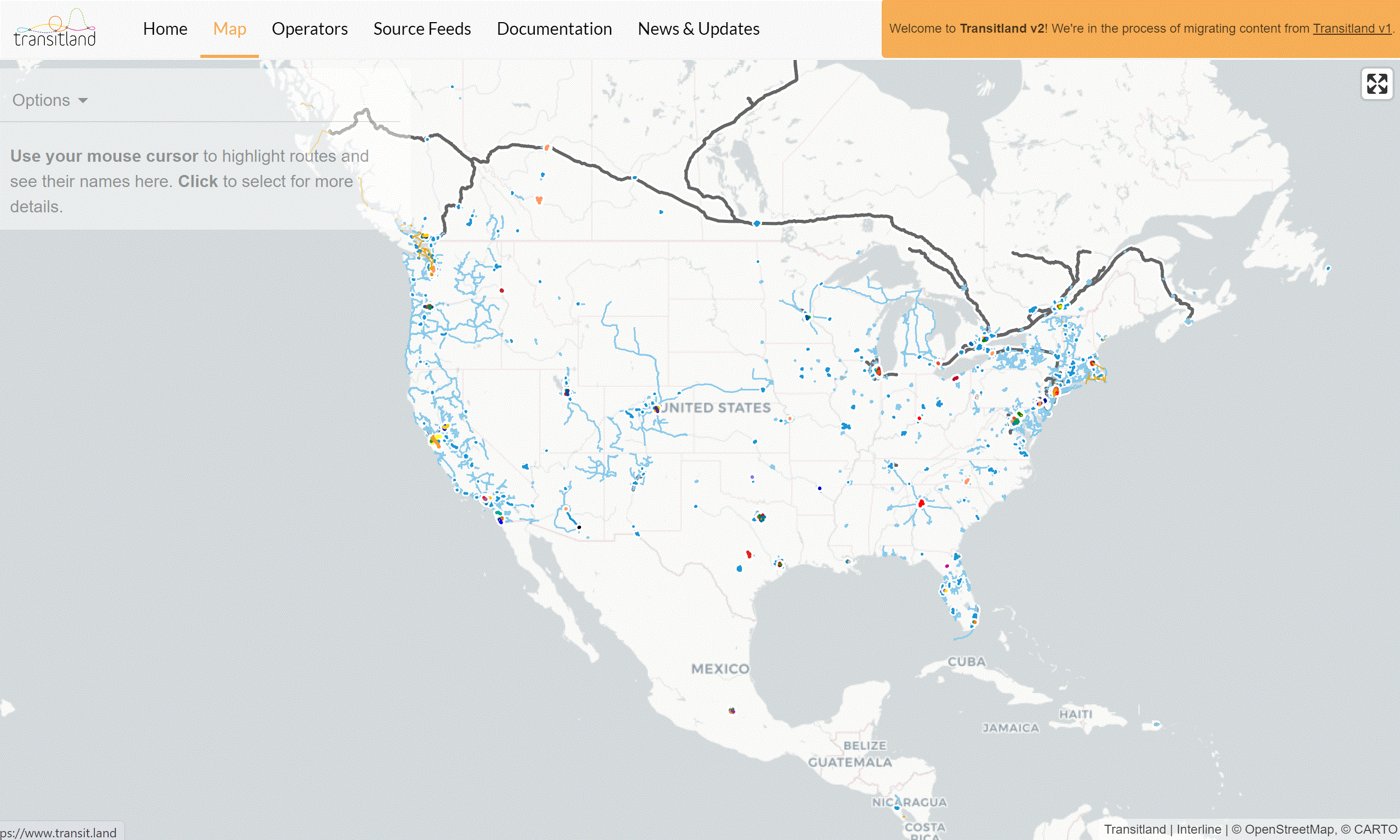
Transit Land
Highlight and visualize transit routes across the U.S. and the world. Tool by Mapzen.
Use Tool Transportation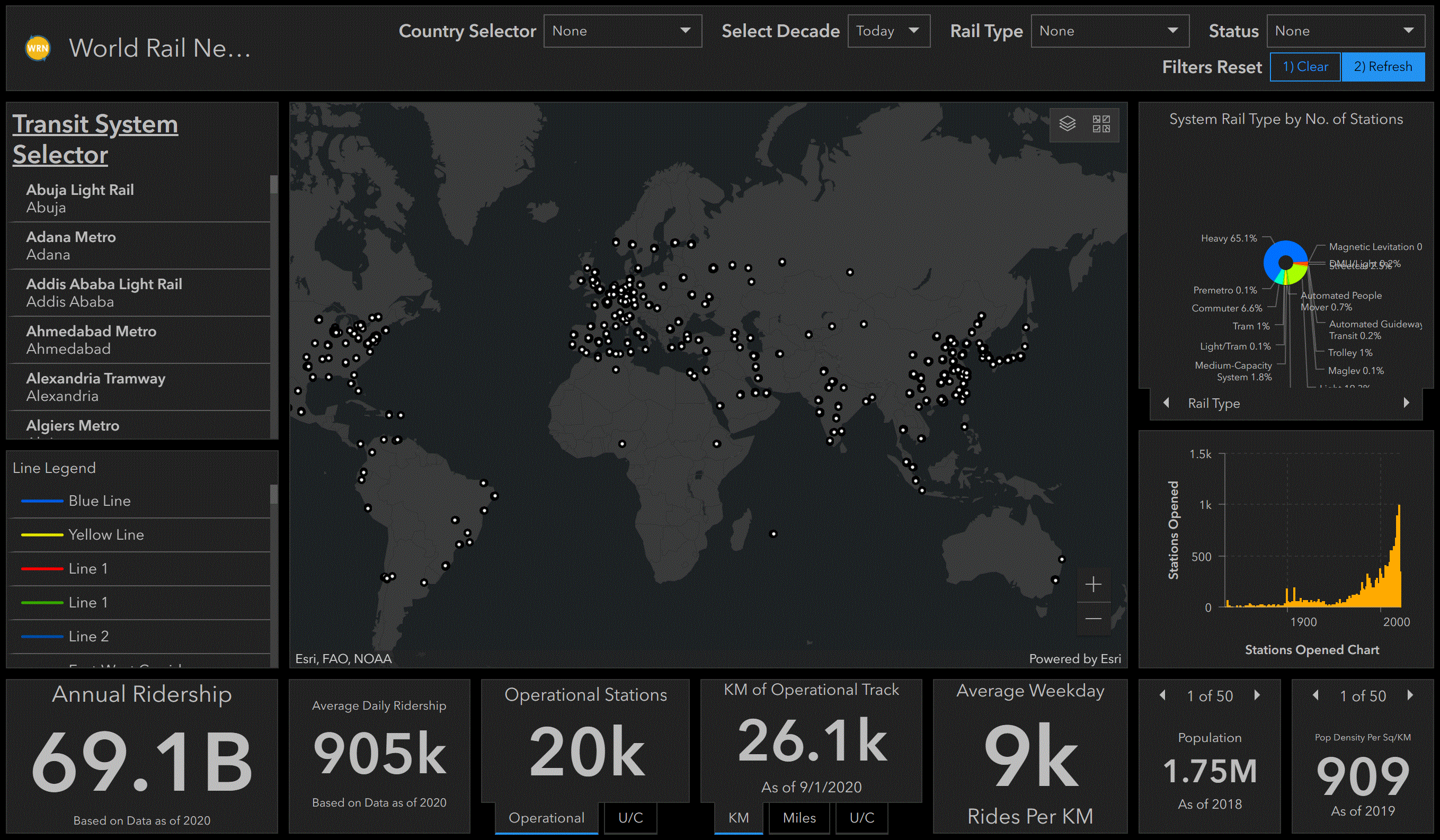
World Rail Networks
Visualize and explore rail networks across the world. Tool by World Rail Network.
Use Tool Transportation
Public Symbols of the Confederacy
Visualize and locate symbols of the Confederacy. Tool by Southern Poverty Law Center.
Use Tool Social Justice
Hate Map
Locate hate groups across the U.S. Tool by Southern Poverty Law Center.
Use Tool Social Justice
Census Reporter
Find, visualize, and explore places and facts. Tool by U.S. Census.
Use Tool Demographic
Opportunity Atlas
Visualize neighborhood poverty and see which neighborhoods give kids the best chance of rising out of it. Tool by Census Bureau, Harvard University, and Brown University.
Use Tool Demographic, Social Justice
Track the Recovery
Track the coronavirus pandemic and see the economic impacts on businesses, communities, and people across the U.S. Tool by Harvard University and Brown University.
Use Tool COVID-19, Economic
U.S. National Hazards Index
Visualize data for numerous hazards across the U.S. Tool by National Center for Disaster Preparedness.
Use Tool Emergency Management, Nature
QWI Explorer
Compare, aggregate, and rank Quarterly Workforce Indicators (QWI). Tool by U.S. Census Bureau.
Use Tool Demographic, Economic
Renewing Inequality
Visualize family displacement from urban renewal between 1955 and 1966.
Use Tool Social Justice
60 Years of Urban Change
Compare downtown aerial images from 60 years ago to today. Tool by the University of Oklahoma.
Use Tool Social Justice
STRAVA Heat Map
Visualize public activity such as cycling with this interactive heat map. Tool by STRAVA.
Use Tool Land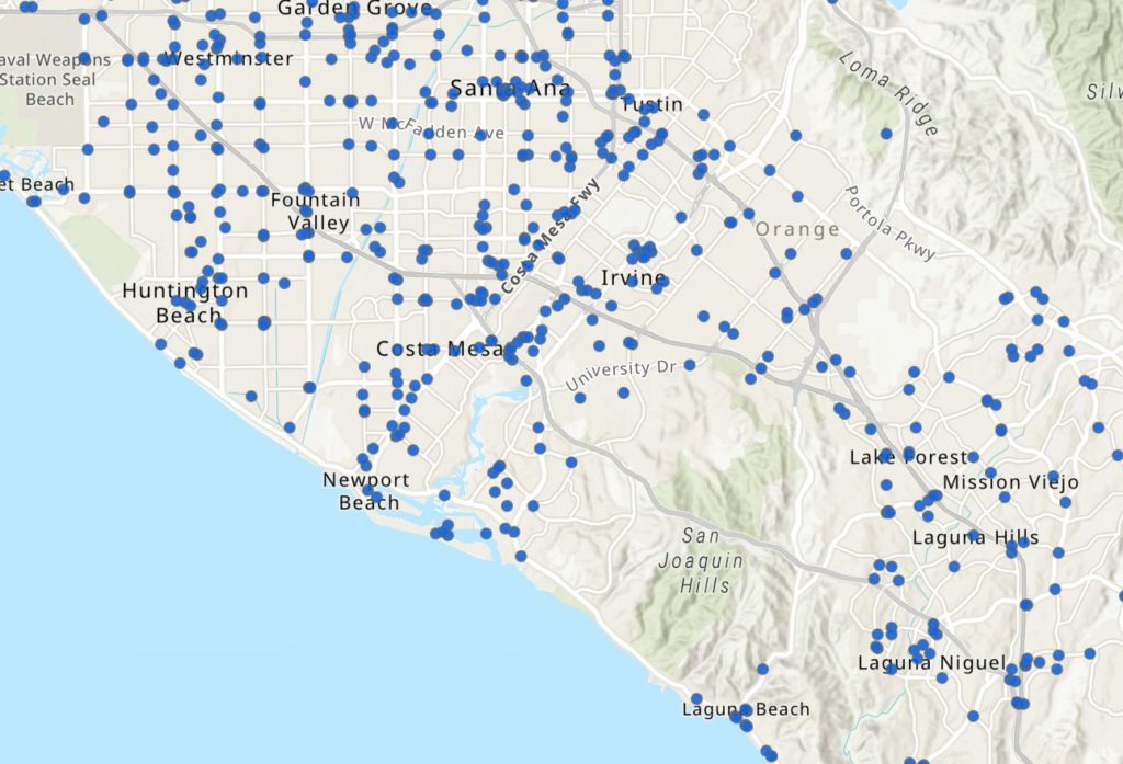
Underground Storage Tank (UST) Finder
National map of underground storage tank (UST) and leaking UST (LUST) data. The map and application provide users with geospatial information about UST facilities and LUST sites that may be subject to extreme weather events, such as floods, wildfires, and earthquakes. Tool by EPA.
Use Tool Environment, Land, Hazards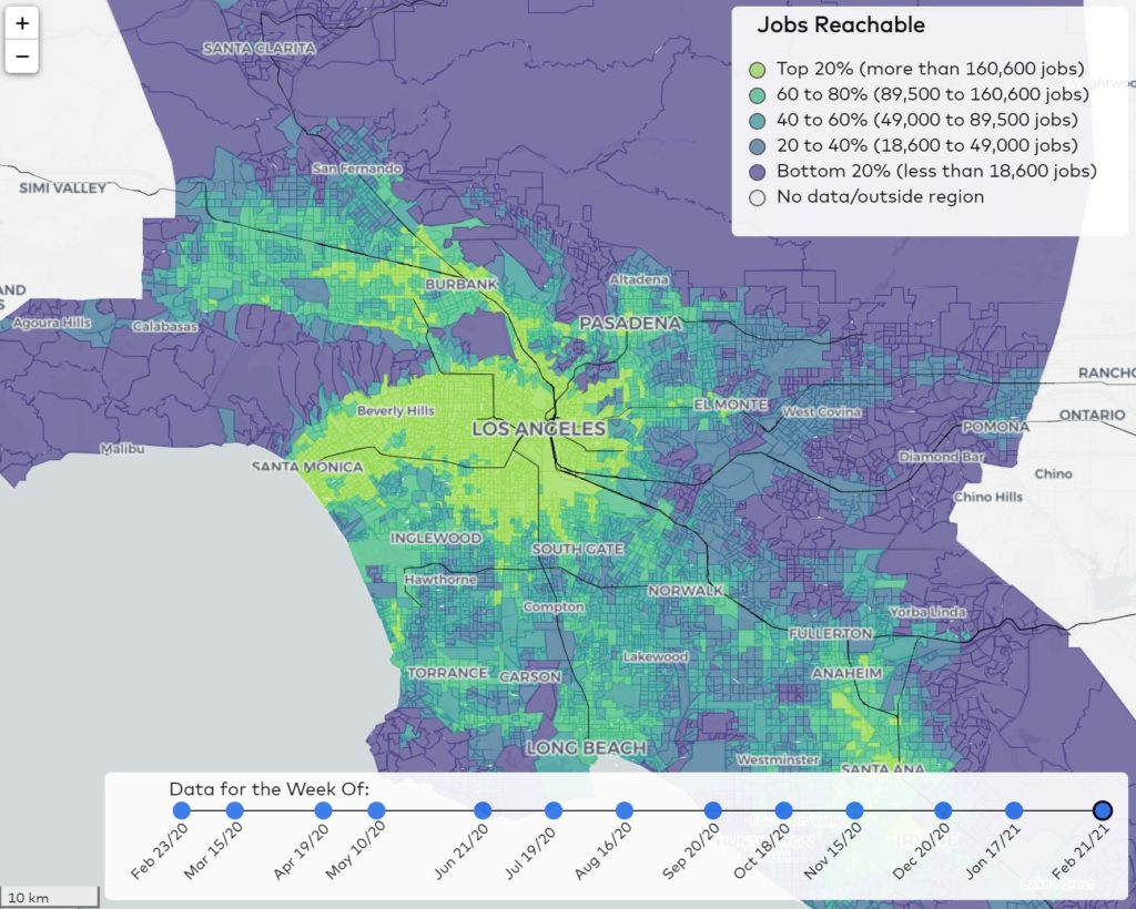
Transit Center Equity Dashboard
This dashboard measures how well transit networks in seven U.S. cities connect people who’ve been marginalized within those metro areas to the jobs, services, and amenities they need to thrive. Tool by TransitCenter.
Use Tool Demographic, Social Justice, Transportation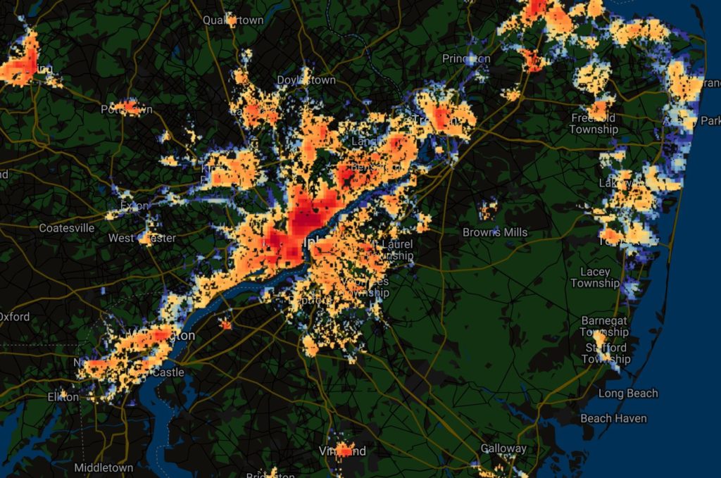
Global Surface UHI Explorer
The Global Surface UHI Explorer is an interactive tool that lets you visually monitor “urban heat island” (UHI) intensity across the world. Tool by Yale University Center for Earth Observation.
Use Tool Environment, Land, Climate Change, Hazards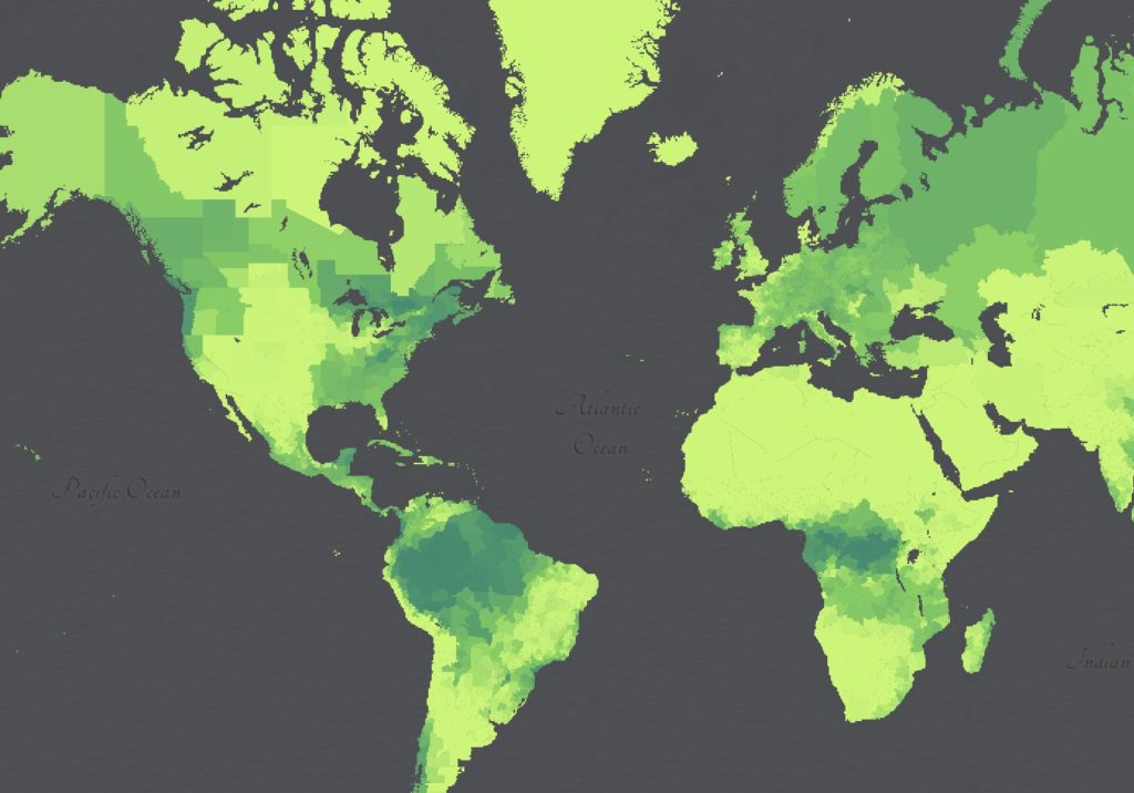
Catholic Geo Hub
The Catholic GeoHub allows people around the world to gain a global understanding of the Catholic Church. This site provides efficient access to data, maps, and applications about the temporal presence of the Catholic Church and its people. Map by GoodLands.
Use Tool Religion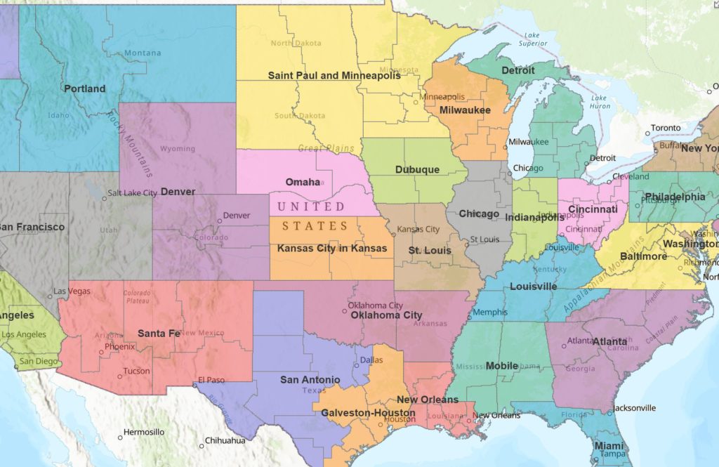
Catholic Dioceses of the United States
Explore Catholic Dioceses throughout the United States. Tool by Gavin Rehkemper.
Use Tool Religion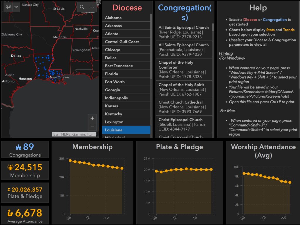
Episcopal Church Dashboard
Stats and trends for the Episcopal Church. Tool by the Episcopal Church.
Use Tool Religion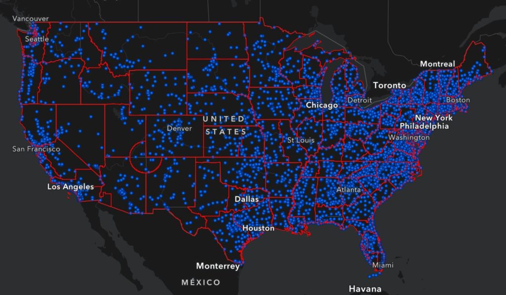
Episcopal Know Your Neighborhood
Find Episcopal statistics about attendance, membership, and plate and pledge. Tool by the Episcopal Church.
Use Tool Religion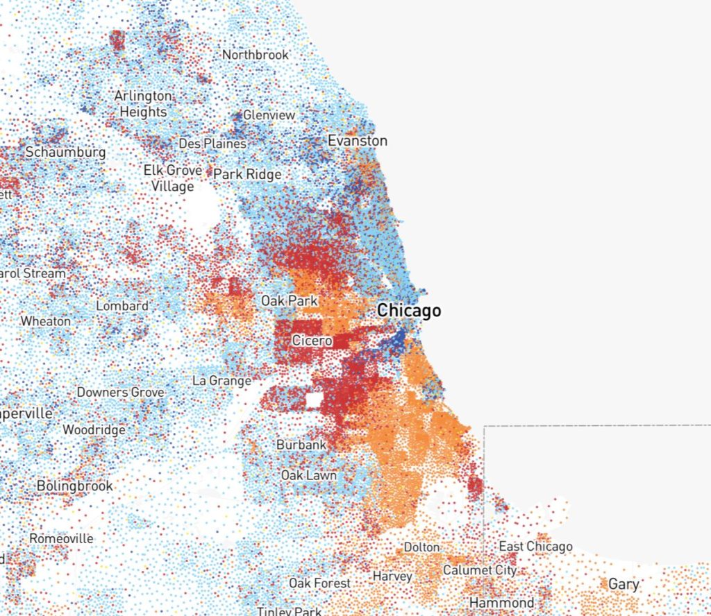
Race and Ethnicity Across the Nation
2020 census data plots the population onto a map. Tool by CNN.
Use Tool Demographic, Social Justice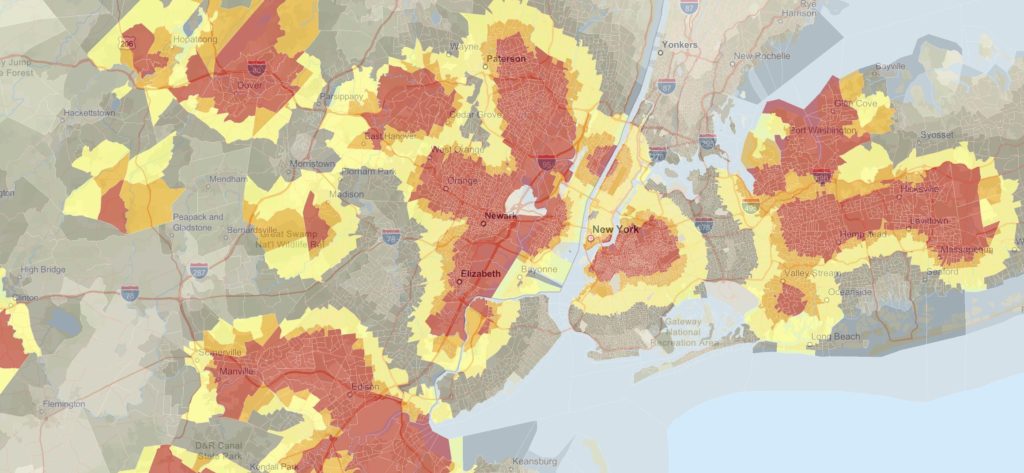
Environmental Justice Screening and Mapping Tool
The Environmental Justice Screening and Mapping Tool was created to provide demographic and environmental information to identify vulnerable communities that are disproportionately impacted by environmental hazards. Tool by EPA.
Use Tool Demographic, Environment, Health, Social Justice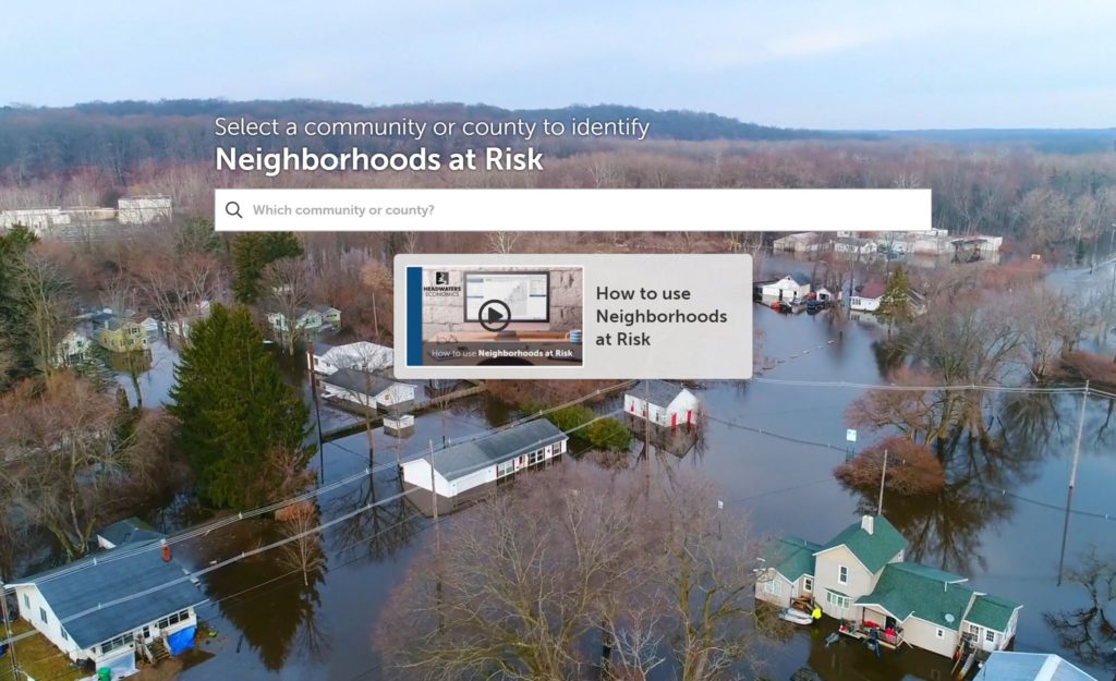
Neighborhoods at Risk
Neighborhoods At Risk is a free interactive tool that lets users explore and identify neighborhoods that are vulnerable to the impacts of climate change. Tool by Headwatereconomics.org.
Use Tool Emergency Management, Environment, Climate Change, Hazards
Housing Policy Scorecard
A housing scorecard that rates housing policy for U.S. states. Tool by Eviction Lab.
Use Tool Housing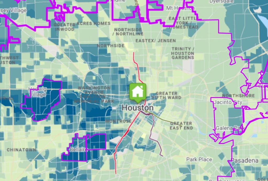
Housing and Transportation Affordability Index
A comprehensive view of affordability based on housing and transportation costs. Tool by CNT.
Use Tool Housing, Transportation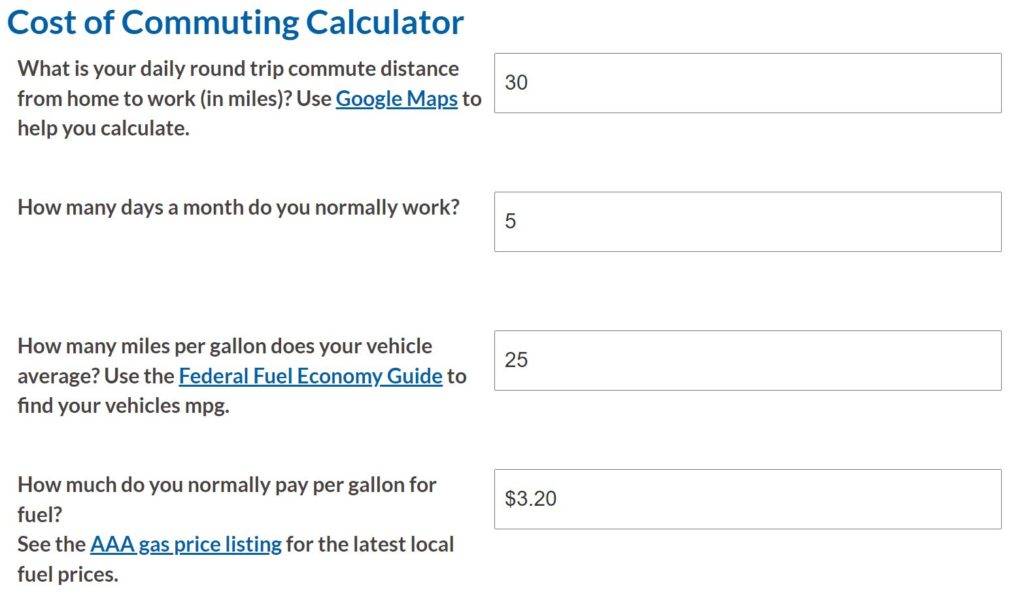
Cost of Commuting Calculator
Calculate your cost to commute vs your cost to drive. Tool created by OmniDrive.
Use Tool Transportation, Calculators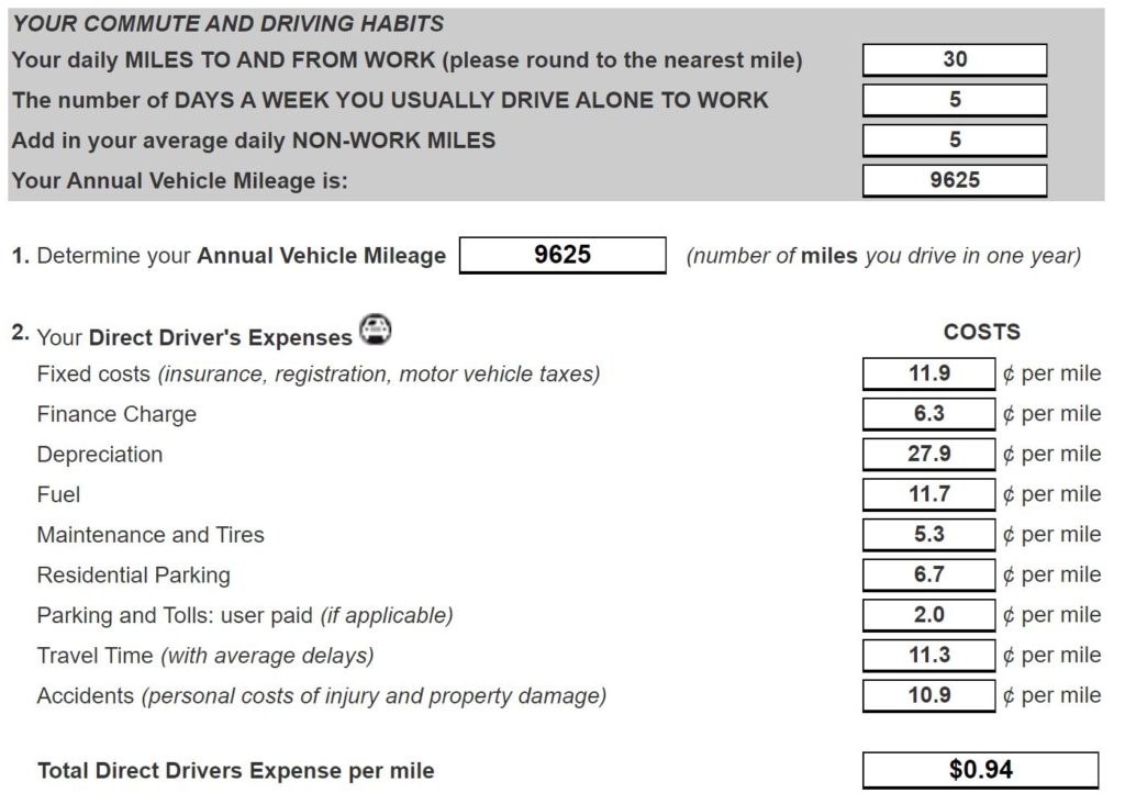
True Cost of Driving
Break down the true costs of Driving by looking at direct and indirect expenses of driving a car. Tool created by CRUZ511.
Use Tool Transportation, Calculators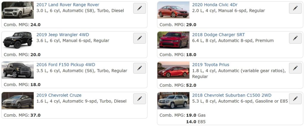
Fuel Economy Trip Calculator
Compare vehicles to estimate fuel costs. Tool created by the U.S. Department of Energy.
Use Tool Transportation, Calculators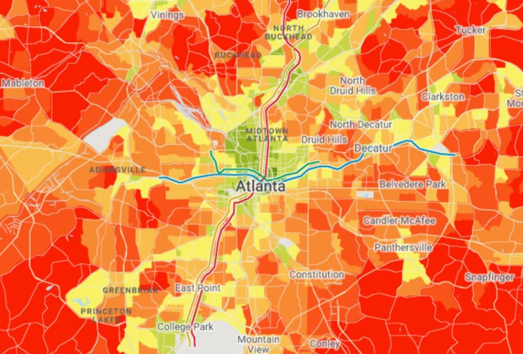
Total Driving Costs
The Total Driving Costs tool calculates the total cost of driving for an average household from your region with data for your neighborhood. Tool created by CNT.
Use Tool Transportation, Calculators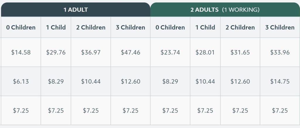
MIT Living Wage Calculator
Use the Living Wage Calculator to calculate the actual cost of living in the U.S. Tool created by MIT.
Use Tool Demographic, Financial, Housing, Social Justice, Calculators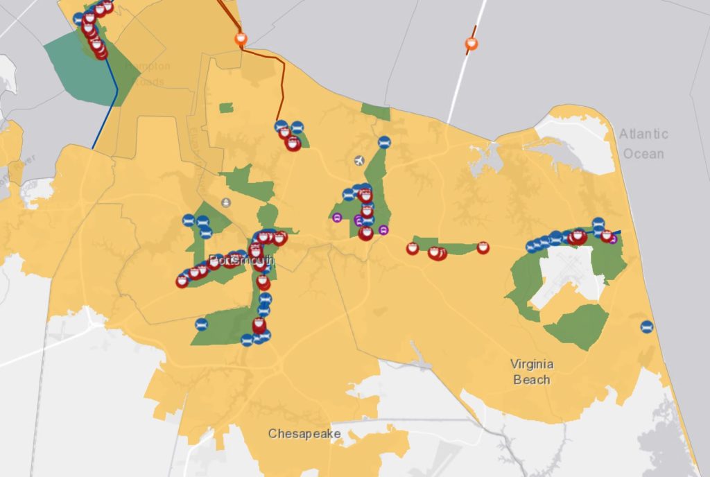
Department of Transportation Opportunity Zones
Use the Department of Transportation’s interactive Opportunity Zones map to locate federal investment in major infrastructure projects located in or around opportunity zones in the U.S. Tool by the U.S. Department of Transportation.
Use Tool Transportation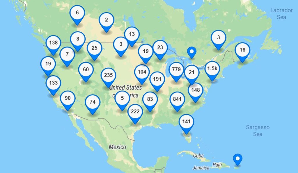
Community Garden Map
Use the Community Garden Map to search for a community-based garden in your area. Tool created by the American Community Gardening Association.
Use Tool Environment, Land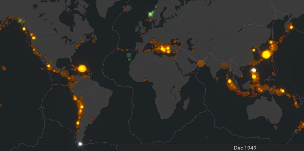
Tsunami Events (1850 to Present) Time-Lapse Animation
Visually observe tsunami events from 1850 to present. Tool created by NOAA.
Use Tool Emergency Management, Environment, Hazards, Ocean and Water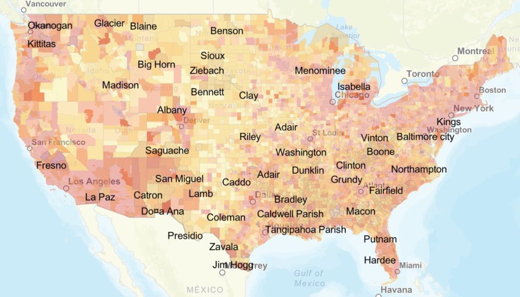
HRSA Map Tool
Use the HRSA Map Tool to find a variety of health data across the US. Tool created by the Health Resources and Services Administration.
Use Tool Demographic, Health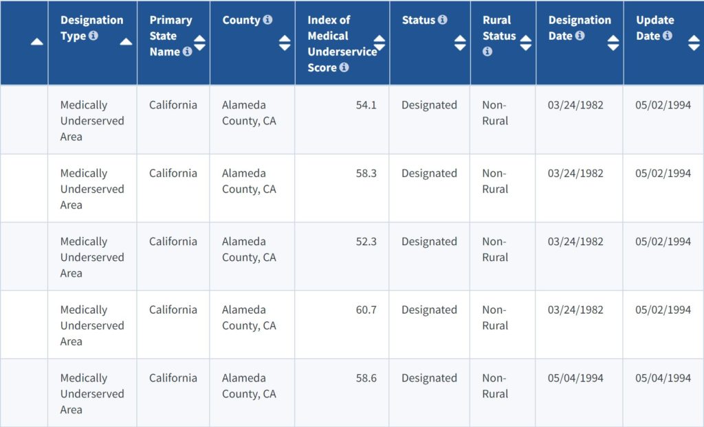
MUA Find
Search for Medically Underserved Areas (MUAs) in the United States. Tool created by the HRSA.
Use Tool Demographic, Health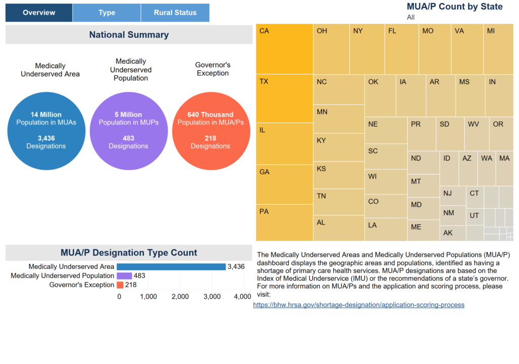
Explore MUAs
Use the "Explore MUA" dashboard to find detailed information on Medically Underserved Areas (MUAs) in the US. Tool created by the HRSA.
Use Tool Demographic, HealthWeb Mapping Applications
Millennial Cities has collected hundreds interactive, data-driven visualization tools and web mapping applications to provide users with authoritative information needed for planning, analysis, awareness, and citizen engagement. Explore our free portal to discover and make use of publicly available geospatial data and mapping applications. Find a collection of story maps, web maps, web applications, and dashboards that address climate change, affordable housing, demographics, and more.
Profiled Tools
60 Years of Urban Change, Cost of Commuting Calculator, EJSCREEN, Explore MUAs, Find a Garden – Share a Garden, Fuel Economy Trip Calculator, Homelessness Statistics by State, HRSA Map Tool, Mapping Inequality: Redlining in New Deal America, MIT Living Wage Calculator, MUA Find, NACo County Explorer, Native Land Map, Neighborhoods at Risk, Opportunity Zones Map, Poverty Rates in Your Community, Race and Ethnicity Across the Nation, Renewing Inequality, Total Driving Costs, True Cost of Driving, Tsunami Events (1850 to Present) Time-Lapse Animation

What is Millennial Cities?
Millennial Cities is an interactive web mapping site that provides access to important maps, data, and map applications. The purpose of including these free interactive tools on the website is to provide access to and promote the use of urban planning geospatial resources. These resources are intended to help citizens better understand their surroundings and make more informed decisions.
The evolution of web mapping applications and geographic information system (GIS) technology has presented a great opportunity for the planning community to foster spatial thinking among friends and coworkers. The use of analysis tools, spatial data, and web maps to examine and highlight issues has never been so easy and readily available. It also provides local governments with a means to promote critical information to the general public.

